
GR 10 E03 SERRA - GÁTOVA
Promoter: Generalitat Valenciana
Certification status: Positive quality control
0 reviews
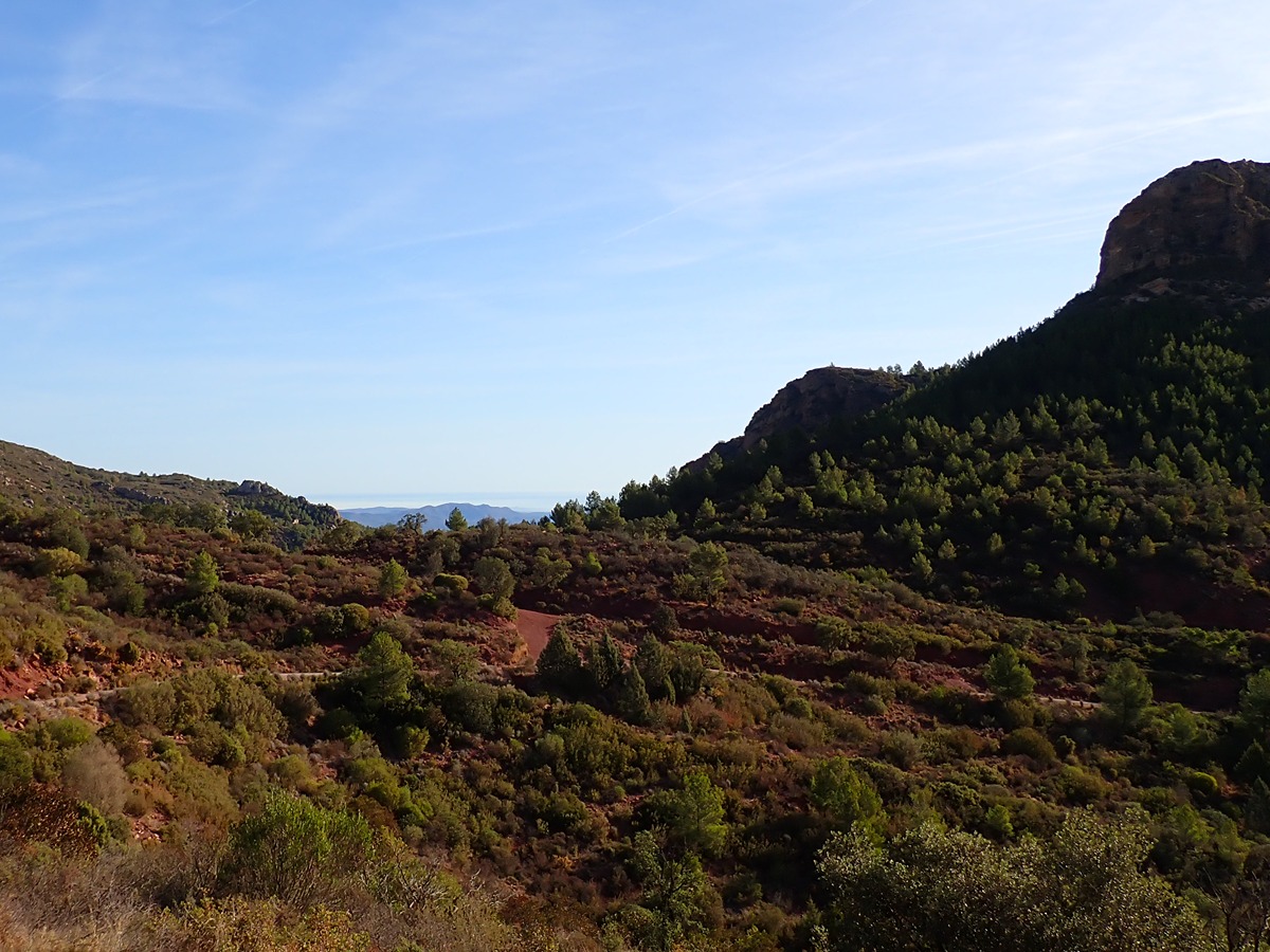
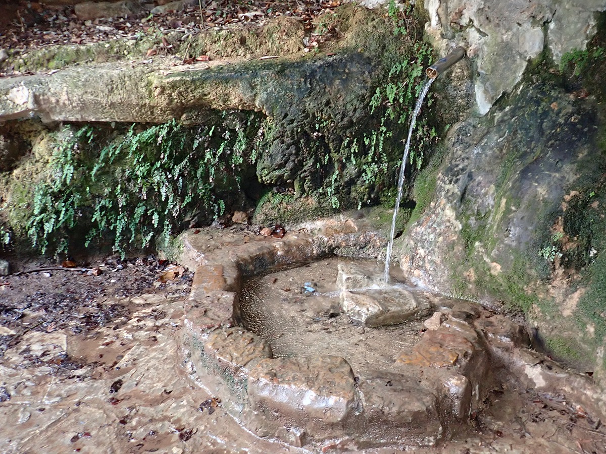
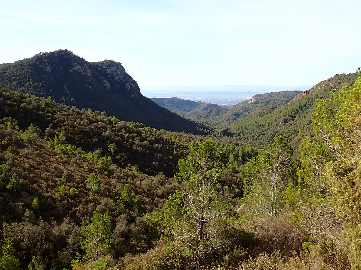
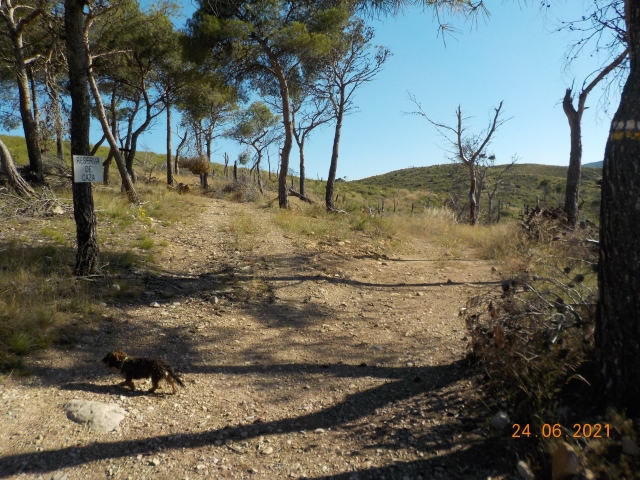
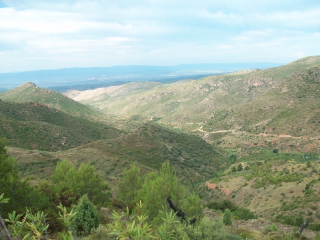
This stage runs through the heart of the Sierra Calderona Natural Park and its emblematic springs.
Trail:
One way (point-to-point)
Main
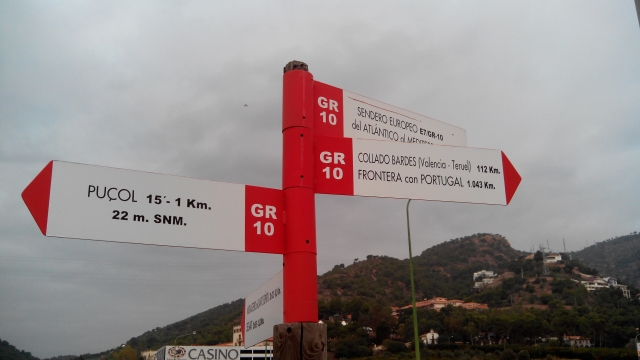
Reference municipality: Puçol
Length: 98,70 km
Estimated walking time: 32:50:00
Elevation gain: 4.495 m
Elevation loss: 3.110 m
(0)
Previos stage
GR 10 E02 SEGART - SERRA
Promoter: Generalitat Valenciana
Certification status: Positive quality control
Etapa número: 2
Reference municipality: Segart
Length: 9,80 km
Estimated walking time: 03:25:00
Elevation gain: 505 m
Elevation loss: 445 m
(0)
Next stage
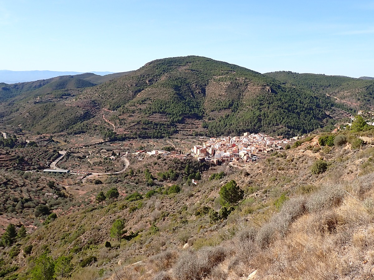
GR 10 E04 GÁTOVA - CUEVA SANTA
Promoter: Generalitat Valenciana
Certification status: Positive quality control
Etapa número: 4
Reference municipality: Gátova
Length: 19,70 km
Estimated walking time: 06:20:00
Elevation gain: 795 m
Elevation loss: 540 m
(0)
Other trails connecting with this trail
PR-CV 8 MARINES - OLOCAU - TRISTÁN
Promoter: Ayuntamiento de Olocau
Certification status: Negative quality control
Reference municipality: Marines
Length: 16,60 km
Estimated walking time: 05:40:00
Elevation gain: 830 m
Elevation loss: 540 m
(0)
PR-CV 63.9 SONEJA - GÁTOVA
Promoter: Mancomunidad Alto Palancia
Certification status: Negative quality control
Reference municipality: Soneja
Length: 12,20 km
Estimated walking time: 04:05:00
Elevation gain: 615 m
Elevation loss: 315 m
(0)
SL-CV 129 RUTA DE MARMALÉ
Promoter: Ayuntamiento de Gátova
Certification status: Conditioned quality control
Reference municipality: Gátova
Length: 10,00 km
Estimated walking time: 03:05:00
Elevation gain: 265 m
Elevation loss: 265 m
(1)