
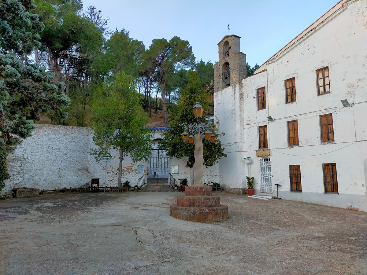
GR 10 E04 GÁTOVA - CUEVA SANTA
Promoter: Generalitat Valenciana
Certification status: Positive quality control
0 reviews
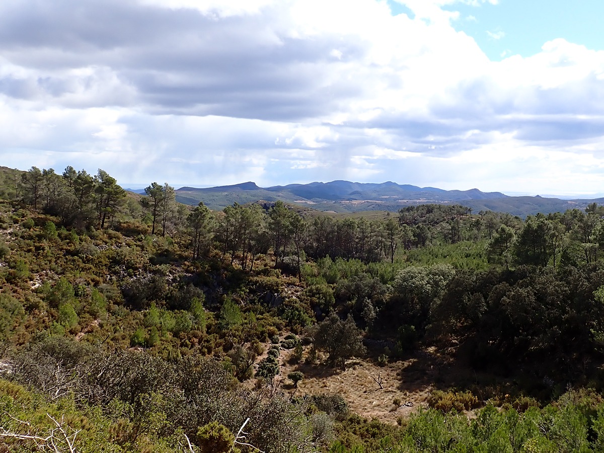
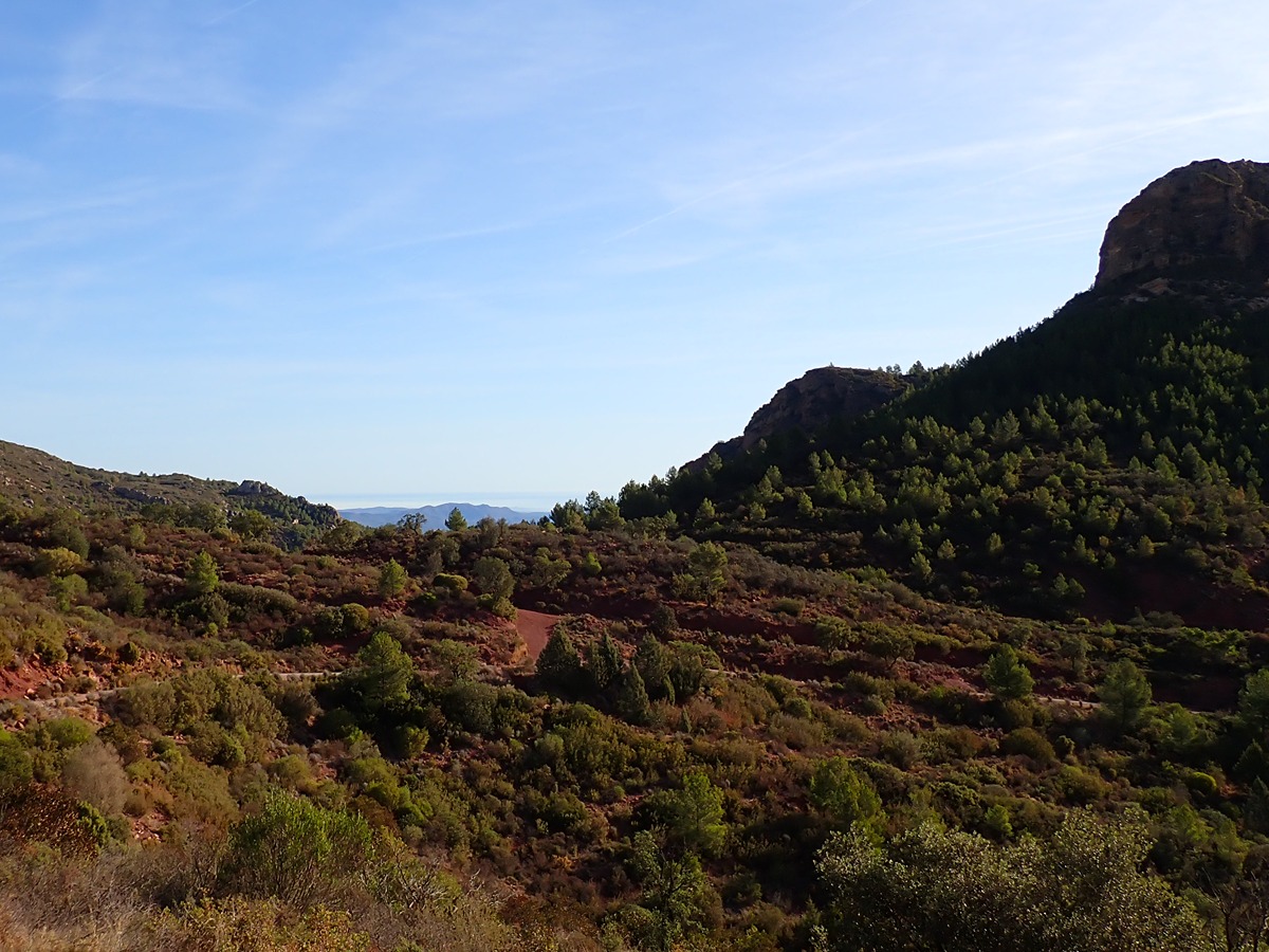
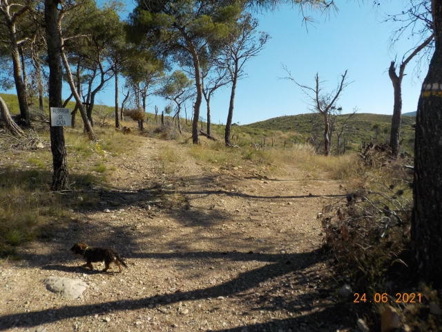
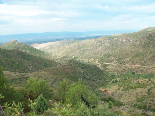
This stage runs along cattle and forest tracks leading to the mountains of Altura and Alcublas without major elevation gains, offering magnificent panoramic views over two regions: Alto Palancia, in the province of Castelló to the north, and Camp de Túria in Valencia, to the south.
Trail:
One way (point-to-point)
Main
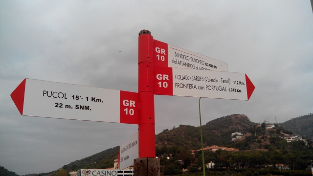
Reference municipality: Puçol
Length: 98,70 km
Estimated walking time: 32:50:00
Elevation gain: 4.495 m
Elevation loss: 3.110 m
(0)
Previos stage
GR 10 E03 SERRA - GÁTOVA
Promoter: Generalitat Valenciana
Certification status: Positive quality control
Etapa número: 3
Reference municipality: Serra
Length: 20,70 km
Estimated walking time: 07:00:00
Elevation gain: 965 m
Elevation loss: 705 m
(0)
Next stage
GR 10 E05 CUEVA SANTA - SACAÑET
Promoter: Generalitat Valenciana
Certification status: Positive quality control
Etapa número: 5
Reference municipality: Altura
Length: 13,90 km
Estimated walking time: 04:20:00
Elevation gain: 485 m
Elevation loss: 310 m
(0)
Other trails connecting with this trail
PR-CV 63.9 SONEJA - GÁTOVA
Promoter: Mancomunidad Alto Palancia
Certification status: Negative quality control
Reference municipality: Soneja
Length: 12,20 km
Estimated walking time: 04:05:00
Elevation gain: 615 m
Elevation loss: 315 m
(0)
SL-CV 129 RUTA DE MARMALÉ
Promoter: Ayuntamiento de Gátova
Certification status: Conditioned quality control
Reference municipality: Gátova
Length: 10,00 km
Estimated walking time: 03:05:00
Elevation gain: 265 m
Elevation loss: 265 m
(1)