Rate this trail

SL-CV 129 RUTA DE MARMALÉ

Promoter: Ayuntamiento de Gátova

Certification status: Conditioned quality control

1 review

Following the inspection carried out by trail technicians, this trail has been declared of "limited adequacy" as a result of the faults detected in the signage. These include inadequate horizontal signs (paint markers) and/or vertical ones (trailheads and information boards) or lacking direction markers that do not provide sufficient information to properly follow the route. The builder of this trail has been informed of the situation.
For safety reasons and during maintenance work, it is advised to be extremely careful while taking this route. Furthermore, mountain sports entail risks associated with the activity itself and the environment where they take place, for which any person is fully liable. For this reason, hikes need to be planned properly and adequate training, equipment and sensible use of the trails are required.

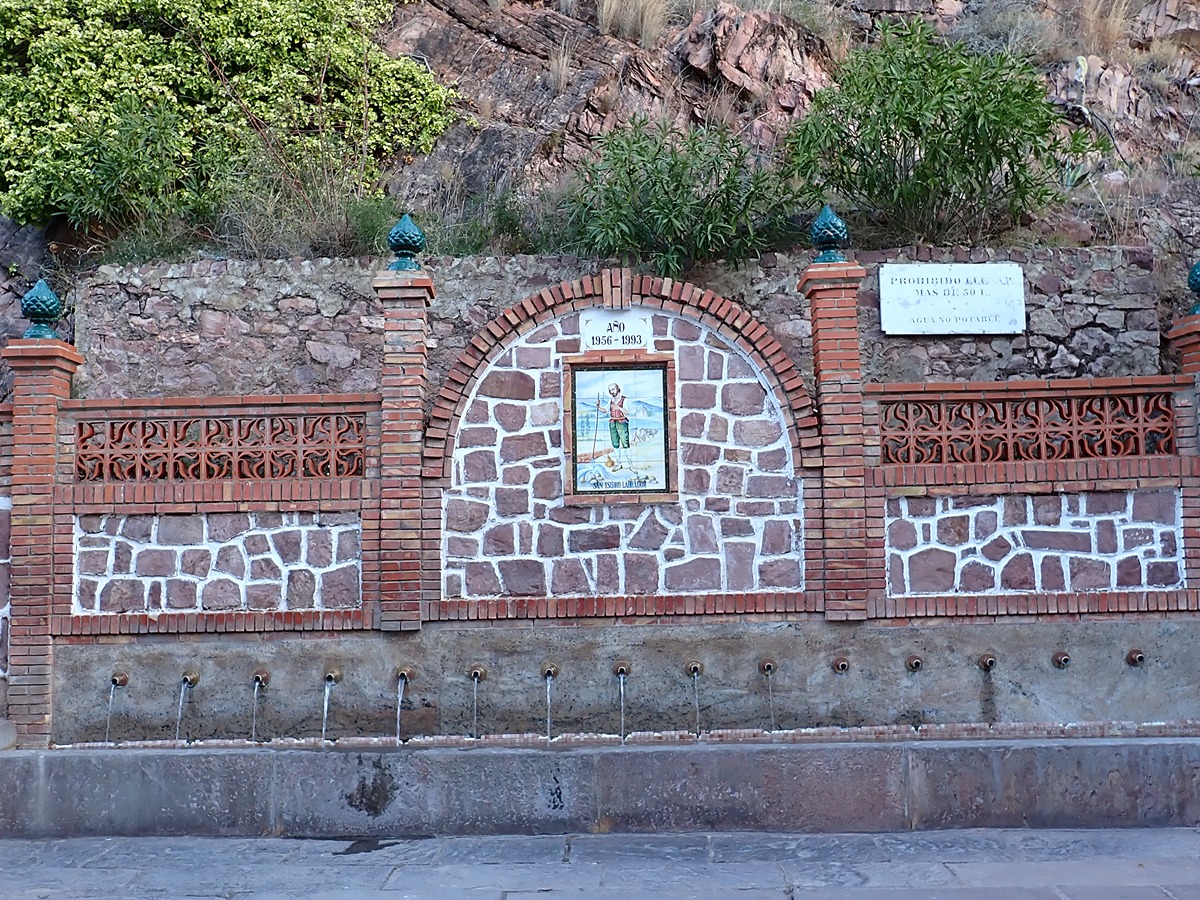
With a circular route through some of the springs and recreational areas of the municipality of Gátova, this path leads to an area where you can find an old settlement of Marmalé in the spurs of the Calderona Natural Park.

Trail:
Loop with some overlapping out and back sections
Technical data:
Length:
10,00 km
Estimated walking time:
03:05:00
Elevation gain:
265 m
Elevation loss:
265 m
MIDE ratings:
Level of natural risks:
2
Navigation on the trail:
2
Hiking difficulty:
2
Fitness level needed:
2

More information on Montaña Segura

Difficulty rating according to FEDME:
Unknown
Starting point:
Interest Tags:
Trail with environmental interes

Useful information:
Date of certification:
15-12-2010
Date of the act of registration in the Public Register:
20-10-2015
Date of the last Quality Control:
april de 2022
Reference municipality:
District:
Province:
Valencia/València
Cartography IGN MTN25:
0667-2

Downloadable from the Catalogue of the IGN Map Library

See other trails of this promoter:
Protected Natural Spaces:

We advise you to look up the regulations and/or authorisations for using the trails in these conservation areas on the website of the Conselleria de Medio Ambiente, Agua, Infraestructuras y Territorio

  • Sierra Calderona (SIC - Site of Community Interest)
  • Sierra Calderona (SPAB - Special Protection Area for Birds)
Key points of the route:

Gátova - Pino de la Era (pine tree) - Fuente de la Fonfría (spring) - GR 10 connection - Fuente del Rebollo (spring) - Fuente de la Alameda (spring) - Balsa de la Tejería (natural pool) and local swimming pool - Gátova

Route description (only available in Spanish)

Salimos desde la Plaza del País Valencià por la calle Mayor y la calle Castellón hasta la fuente de San Isidro. Seguimos la CV-25, carretera de Segorbe unos metros junto con la etapa del GR 10 para bajar al molino de aceite y cruzar el incipiente barranco del Carraixet. Ascendemos por senda, pasamos por la era del Pino hasta la parte alta. Ya por camino llegamos a la fuente de la Fonfría.

Seguimos por la pista de nuevo en ascenso y antes de llegar a un corral tomamos una senda a mano derecha para enlazar con el camino de las Lomas. Al pasar por los cortados podemos ver en el fondo del valle los restos del poblado de Marmalé, ahora en zona militar. Seguimos la pista hasta y en un cruce el GR 10 se separa por la izquierda. Nosotros seguimos recto y al poco llegamos a la fuente del Rebollo.

El camino ahora se convierte en pista asfaltada, paralelo al barranco de la fuente del Rebollo y que nos conduce a la fuente de la Alameda. Continuamos unos metros para desviarnos a la derecha por pequeño puente para bordear el puntal de la Alameda y bajar al barranc del Carraixet que seguiremos hasta cruzar a la altura de la balsa de la Tejería y la piscina municipal. 

Salimos a la carretera CV-25 que tomamos a la derecha para volver a la localidad de Gátova.

Downloads:

Beware! Navigation devices may fail, batteries may run out of power and devices may break down. Do not use only electronic means to track your activities in the mountains; they must be used as a complement to the map and compass. Get some proper training and enjoy the mountains.

Other trails connecting with this trail
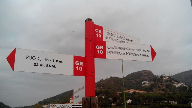