
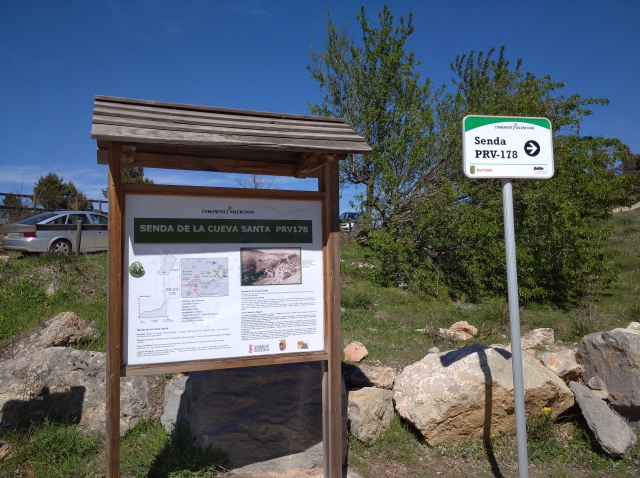
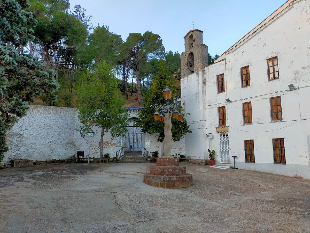
PR-CV 178 SENDA A LA CUEVA SANTA
Promoter: Ayuntamiento de Altura
Certification status: Positive quality control
0 reviews
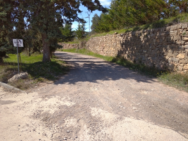
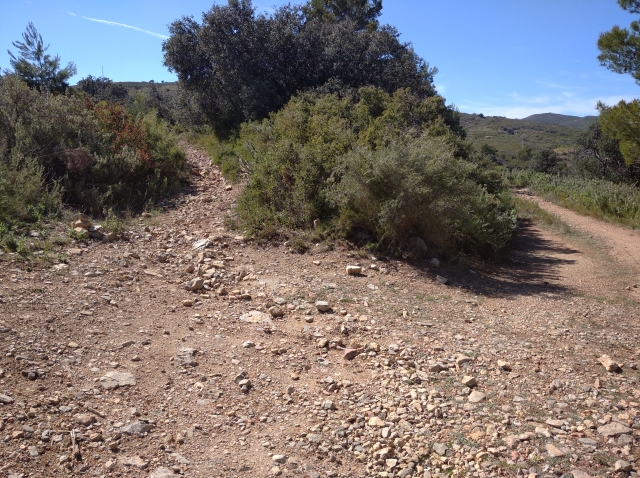
Trail:
One way (point-to-point)
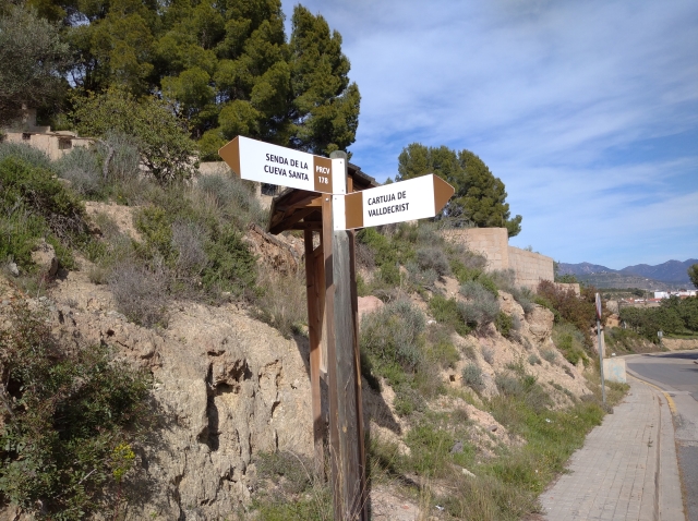
Other trails connecting with this trail
GR 10 E05 CUEVA SANTA - SACAÑET
Promoter: Generalitat Valenciana
Certification status: Positive quality control
Etapa número: 5
Reference municipality: Altura
Length: 13,90 km
Estimated walking time: 04:20:00
Elevation gain: 485 m
Elevation loss: 310 m
(0)
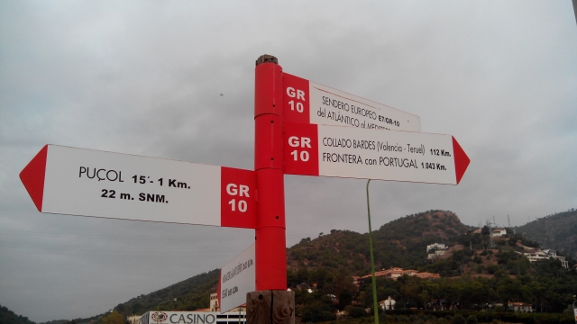
Reference municipality: Puçol
Length: 98,70 km
Estimated walking time: 32:50:00
Elevation gain: 4.495 m
Elevation loss: 3.110 m
(0)