Rate this trail

SL-CV 52 LOS MOLINOS

Promoter: Ayuntamiento de Bejís

Certification status: Conditioned quality control

0 reviews

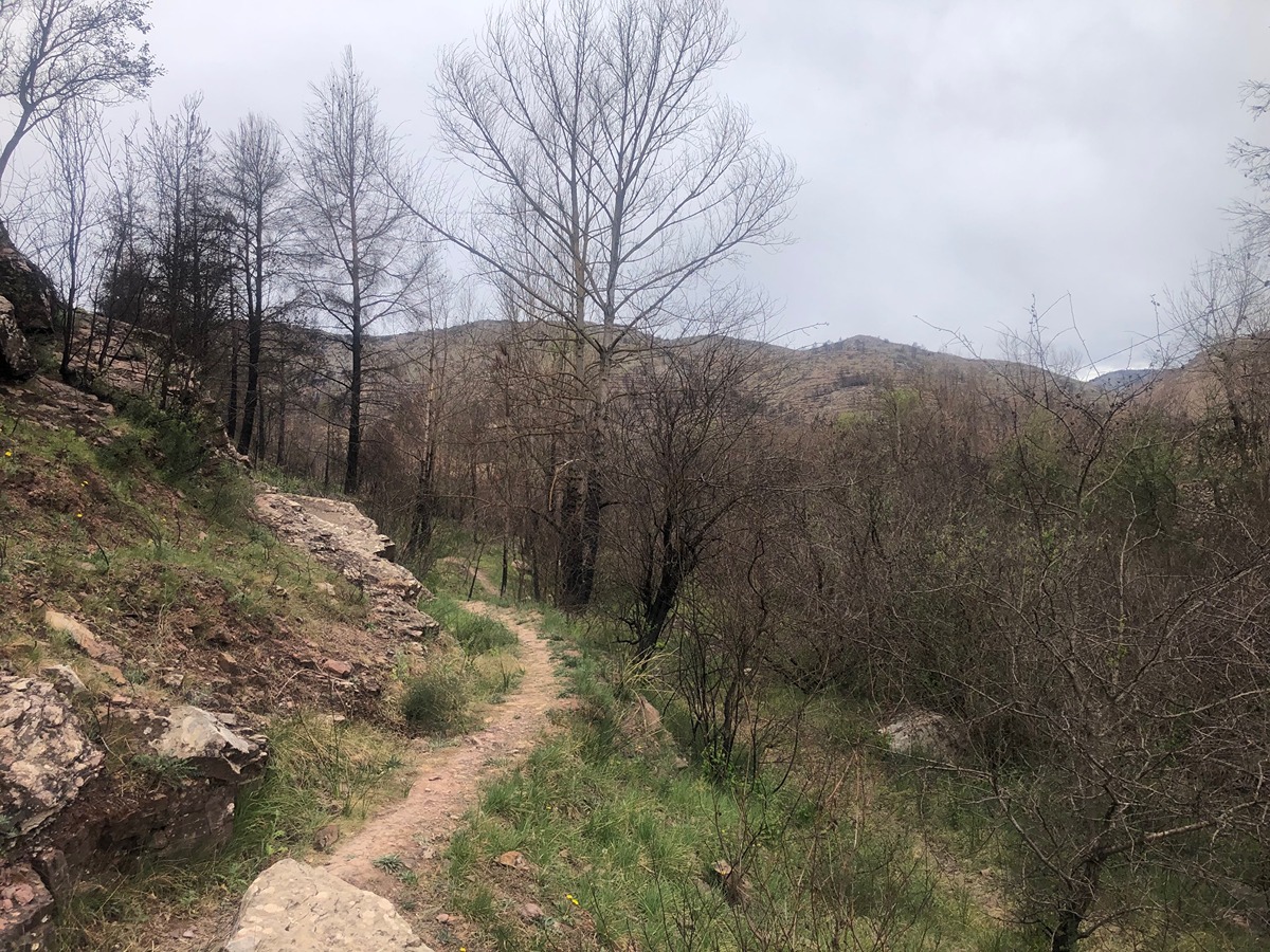
Following the inspection carried out by trail technicians, this trail has been declared of "limited adequacy" as a result of the faults detected in the signage. These include inadequate horizontal signs (paint markers) and/or vertical ones (trailheads and information boards) or lacking direction markers that do not provide sufficient information to properly follow the route. The builder of this trail has been informed of the situation.
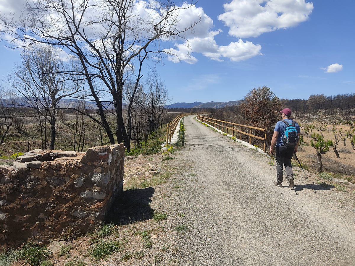
For safety reasons and during maintenance work, it is advised to be extremely careful while taking this route. Furthermore, mountain sports entail risks associated with the activity itself and the environment where they take place, for which any person is fully liable. For this reason, hikes need to be planned properly and adequate training, equipment and sensible use of the trails are required.

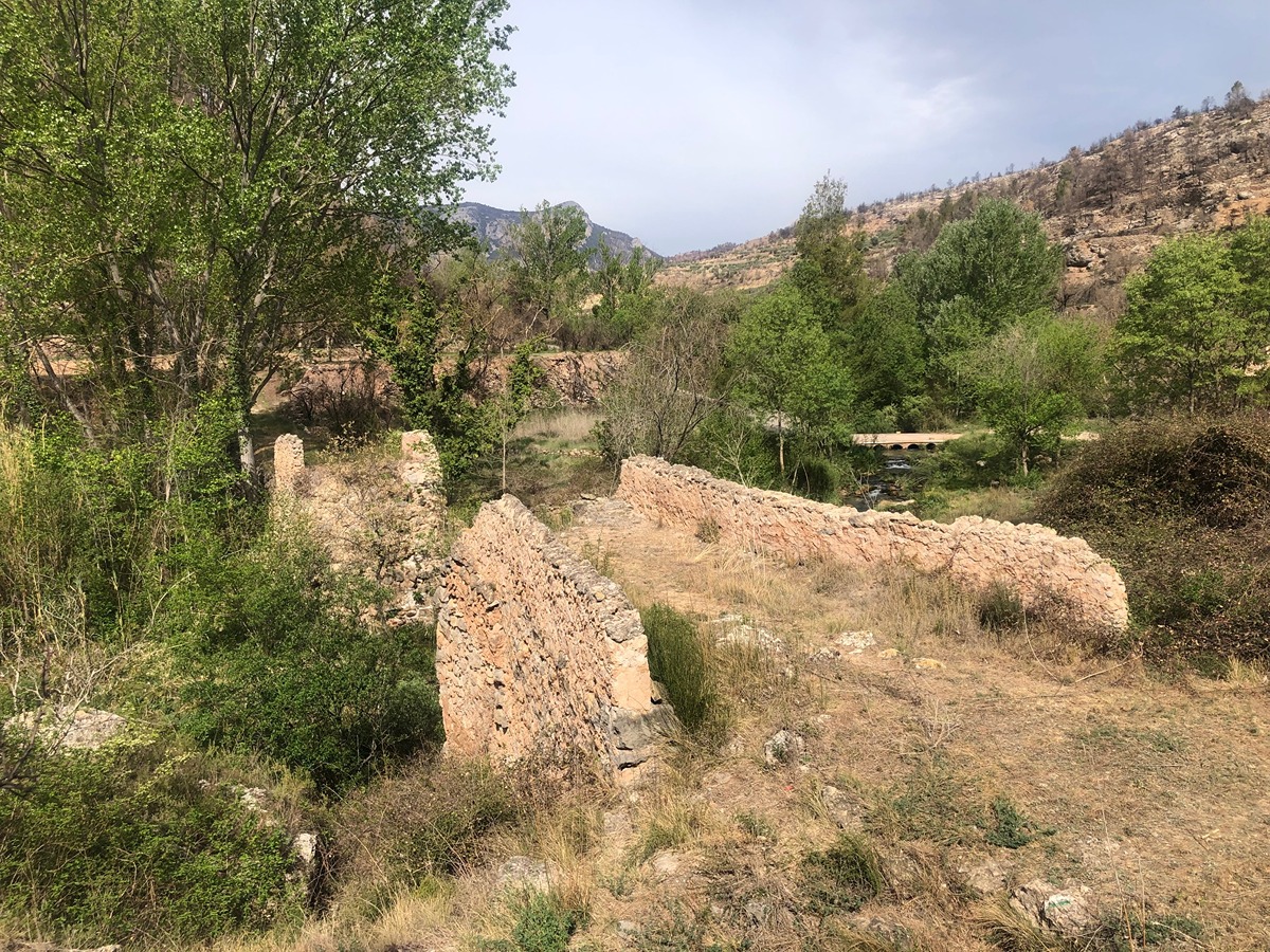
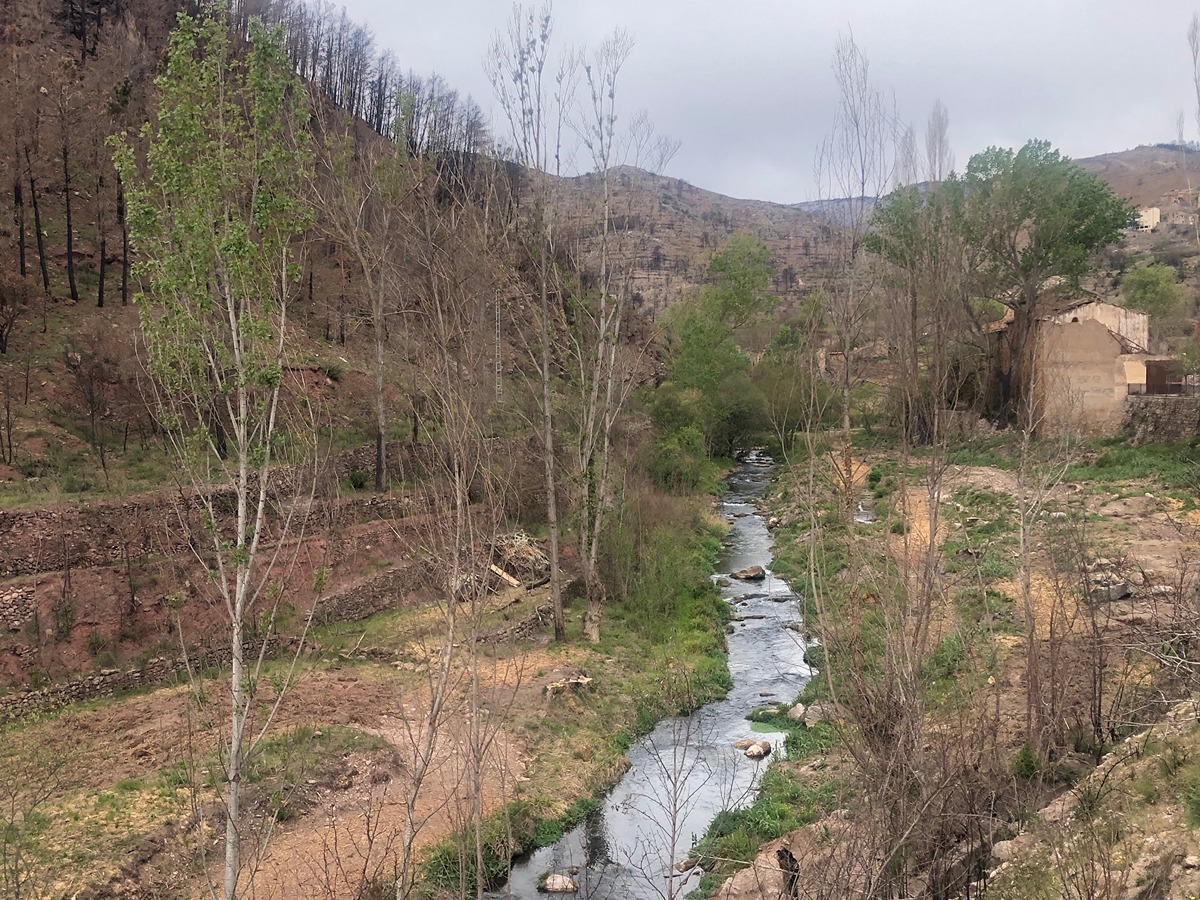
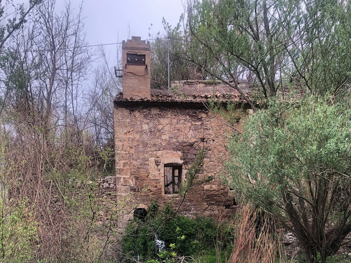
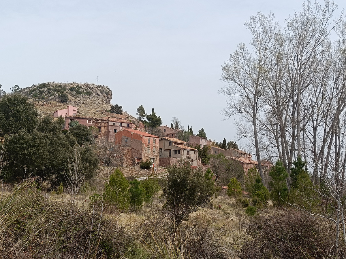
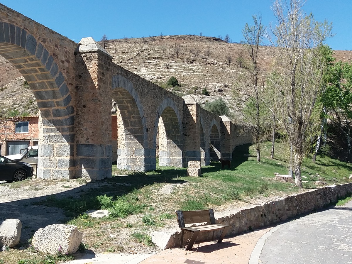
The SL-CV 52 trail allows you to easily get to know the landscapes and learn about the uses of water in the surroundings of the town of Bejís and the riverbeds of the Palancia and the Canales rivers. The remains of the Roto de Jérica bridge (13th century), the old sawmill or the flour mills (such as the Infante or Mocho mills) or the Fábrica de la Luz power station are good examples of the importance of the use of water power that you can see along the route.

Trail:
Loop
Technical data:
Length:
4,60 km
Estimated walking time:
01:30:00
Elevation gain:
115 m
Elevation loss:
115 m
MIDE ratings:
Level of natural risks:
2
Navigation on the trail:
2
Hiking difficulty:
2
Fitness level needed:
2

More information on Montaña Segura

Difficulty rating according to FEDME:
Unknown
Interest Tags:
Trail with historical-artistic interest

Useful information:
Date of certification:
26-05-2023
Date of the last Quality Control:
may de 2023
Reference municipality:
District:
Province:
Castellón/Castelló
Cartography IGN MTN25:
0639-3

Downloadable from the Catalogue of the IGN Map Library

See other trails of this promoter:
Protected Natural Spaces:

We advise you to look up the regulations and/or authorisations for using the trails in these conservation areas on the website of the Conselleria de Medio Ambiente, Agua, Infraestructuras y Territorio

  • Alto Palancia (SIC - Site of Community Interest)
  • Alto Palancia (SAC - Special Area of Conservation)
  • Curs mitjà del riu Palància (SAC - Special Area of Conservation)
  • Curs mitjà del riu Palància (SIC - Site of Community Interest)
  • Curso medio del Palancia (SAC - Special Area of Conservation)
Key points of the route:

"Los Arcos" aqueduct (GR 7, SL-CV 54 and PR-CV 63.2 connection) - CV-236 road - Puente Roto de Exérica (bridge) - Las Ventas - Puente de las Ventas (bridge) - El Ventorrillo - Puente viejo (bridge) - CV-236 road - Camino del Escondido intersection (path) - Camino del Santo (path) - "Los Arcos" aqueduct

Route description (only available in Spanish)

Comenzamos el recorrido desde el acueducto de los Arcos, en las afueras del núcleo urbano de Bejís, en dirección al puente Roto de Jérica, caminando primero sobre la carretera que circunvala Bejís hasta el cruce con la carretera de Torás-Bejís, cruzamos el río Palancia por un vado cementado y llegamos hasta el puente Roto de Jérica.

Dejando a nuestra espalda las ruinas del antigua aserradero y adentrándonos en una senda a la derecha que transita al costado del Palancia, llegaremos hasta Las Ventas pasando por la peculiar fuente de los Toscos. Atravesamos el núcleo urbano bajando por su calle principal hasta llegar a la travesía (enlace con la carretera CV-235. En este punto podemos acercarnos a los restos de la fábrica de la luz y los restos del molino de Barbos).

Continuamos a la derecha, y nada más cruzar el puente sobre el Palancia tomamos la pista a la izquierda, pasando por el molino del Infante y la antigua fábrica de la luz. Cruzamos el río Canales y seguimos por la derecha hasta llegar a la masía del Ventorrillo. Atravesamos la masía y a la salida tomamos la pista ascendente a la derecha, cruzamos la carretera continuando por el puente viejo, girando a la izquierda nada más pasarlo para bajar al cauce y seguir hacia la derecha (aguas arriba).

Dejamos a nuestra derecha las ruinas del molino de Mocho, comenzamos a recuperar altura hasta llegar a la carretera y seguiremos sobre la misma hacia la izquierda, y antes de acabar la curva entraremos en el camino del Escondido, por el que subiremos hasta llegar al camino del Santo (una urbanización de chalets), y allí giramos a la izquierda, adentrándonos en la población de Bejís siguiendo el camino recto hasta la plaza, y luego continuamos por la calle Fontanas y la calle Los Cloticos para volver a nuestro punto de inicio.

Downloads:

Beware! Navigation devices may fail, batteries may run out of power and devices may break down. Do not use only electronic means to track your activities in the mountains; they must be used as a complement to the map and compass. Get some proper training and enjoy the mountains.

Other trails connecting with this trail