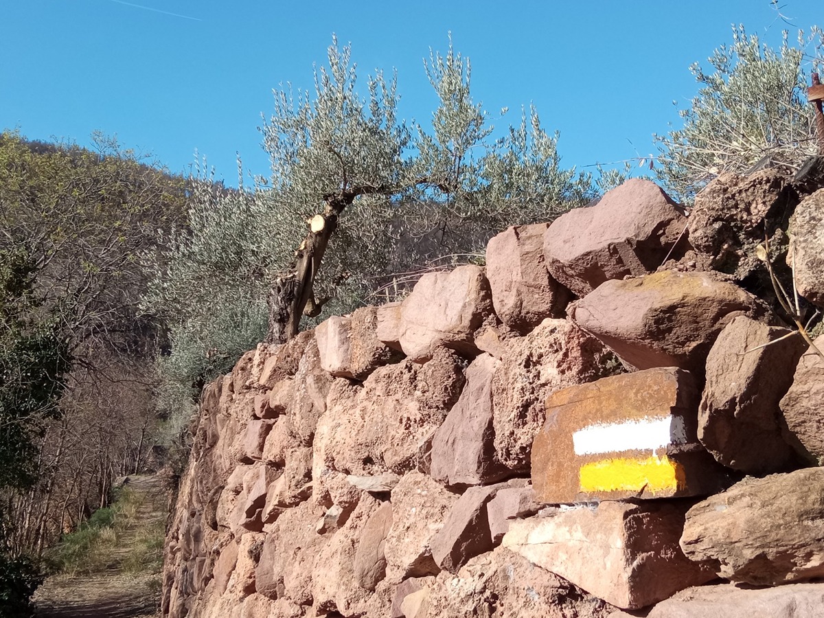
SL-CV 54 LOS MIRADORES
Promoter: Ayuntamiento de Bejís
Certification status: Conditioned quality control
Following the inspection carried out by trail technicians, this trail has been declared of "limited adequacy" as a result of the faults detected in the signage. These include inadequate horizontal signs (paint markers) and/or vertical ones (trailheads and information boards) or lacking direction markers that do not provide sufficient information to properly follow the route. The builder of this trail has been informed of the situation.
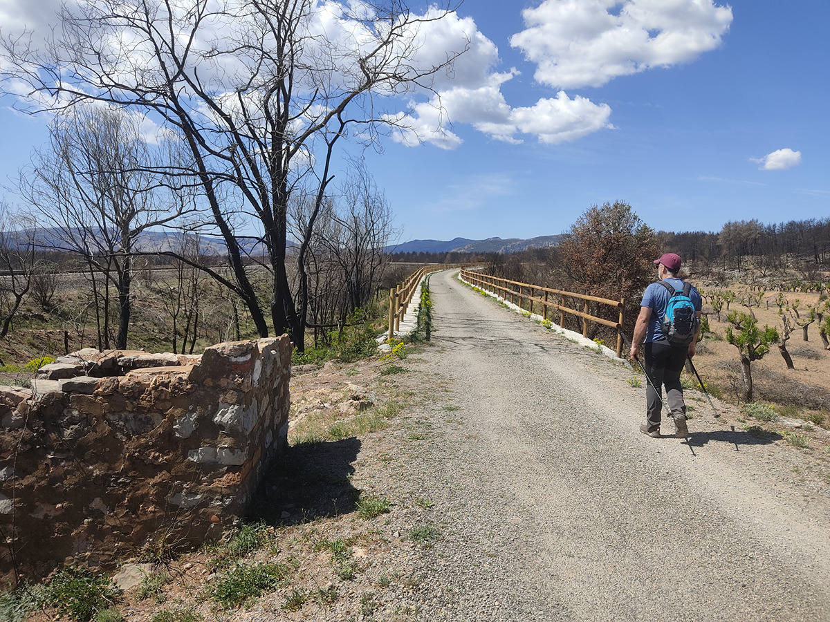
For safety reasons and during maintenance work, it is advised to be extremely careful while taking this route. Furthermore, mountain sports entail risks associated with the activity itself and the environment where they take place, for which any person is fully liable. For this reason, hikes need to be planned properly and adequate training, equipment and sensible use of the trails are required.
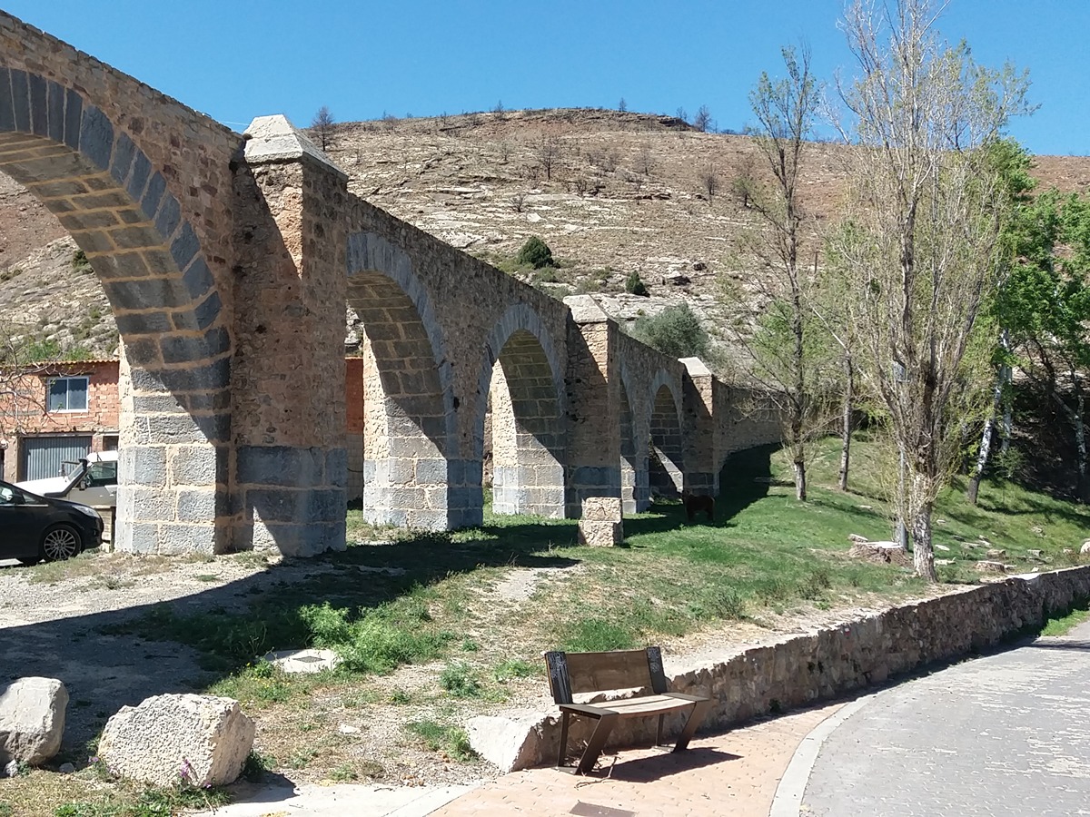
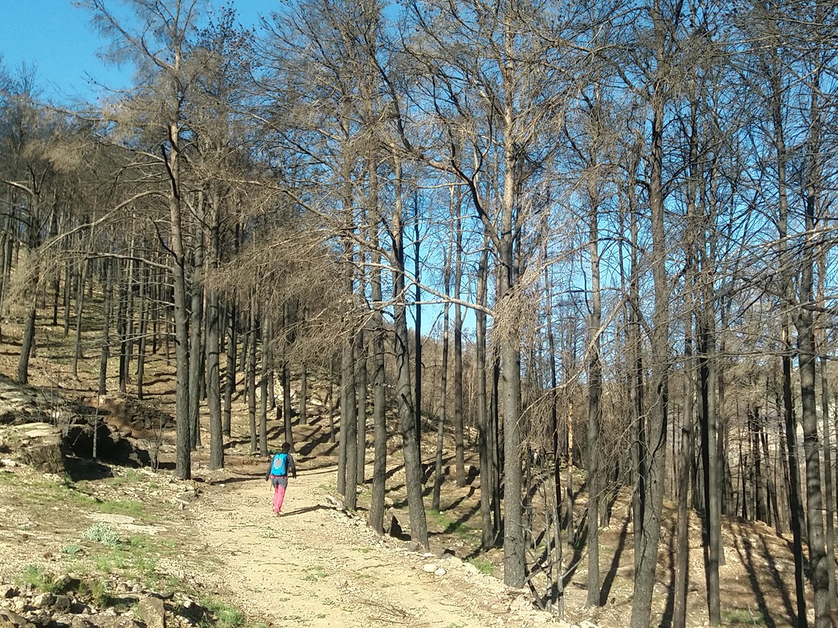
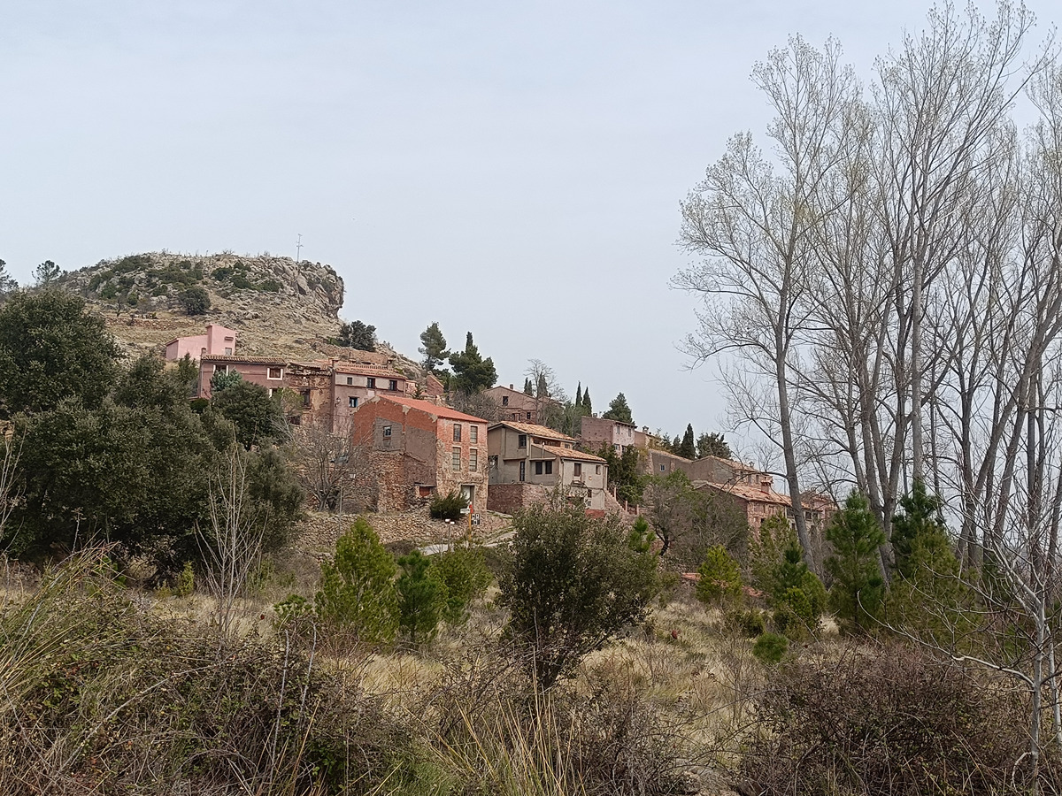
The first section of this trail offers the best views of the Palancia valley. On your way back, just like on the GR 7 trail, you can enjoy the beautiful view of the Canales valley.
Other trails connecting with this trail
GR 7 E34 MAS DE NOGUERA - BEJÍS
Promoter: Generalitat Valenciana
Certification status: Positive quality control
Etapa número: 34
GR 7 E35 BEJÍS - ANDILLA
Promoter: Generalitat Valenciana
Certification status: Positive quality control
Etapa número: 35

GR 7 COMUNITAT VALENCIANA. FREDES - EL PINÓS/PINOSO
Promoter: Generalitat Valenciana
Certification status: See stages
SL-CV 52 LOS MOLINOS
Promoter: Ayuntamiento de Bejís
Certification status: Conditioned quality control

PR-CV 63.2 CABECERA DEL PALANCIA
Promoter: Mancomunidad Alto Palancia
Certification status: No quality controls
PR-CV 80 CANALES - BEJIS - POZO JUNCO
Promoter: Centre Excursionista de València
Certification status: No quality controls
PR-CV 273 RESINERO - PEÑAS DEL DIABLO
Promoter: Ayuntamiento de Bejís
Certification status: Positive quality control