Rate this trail

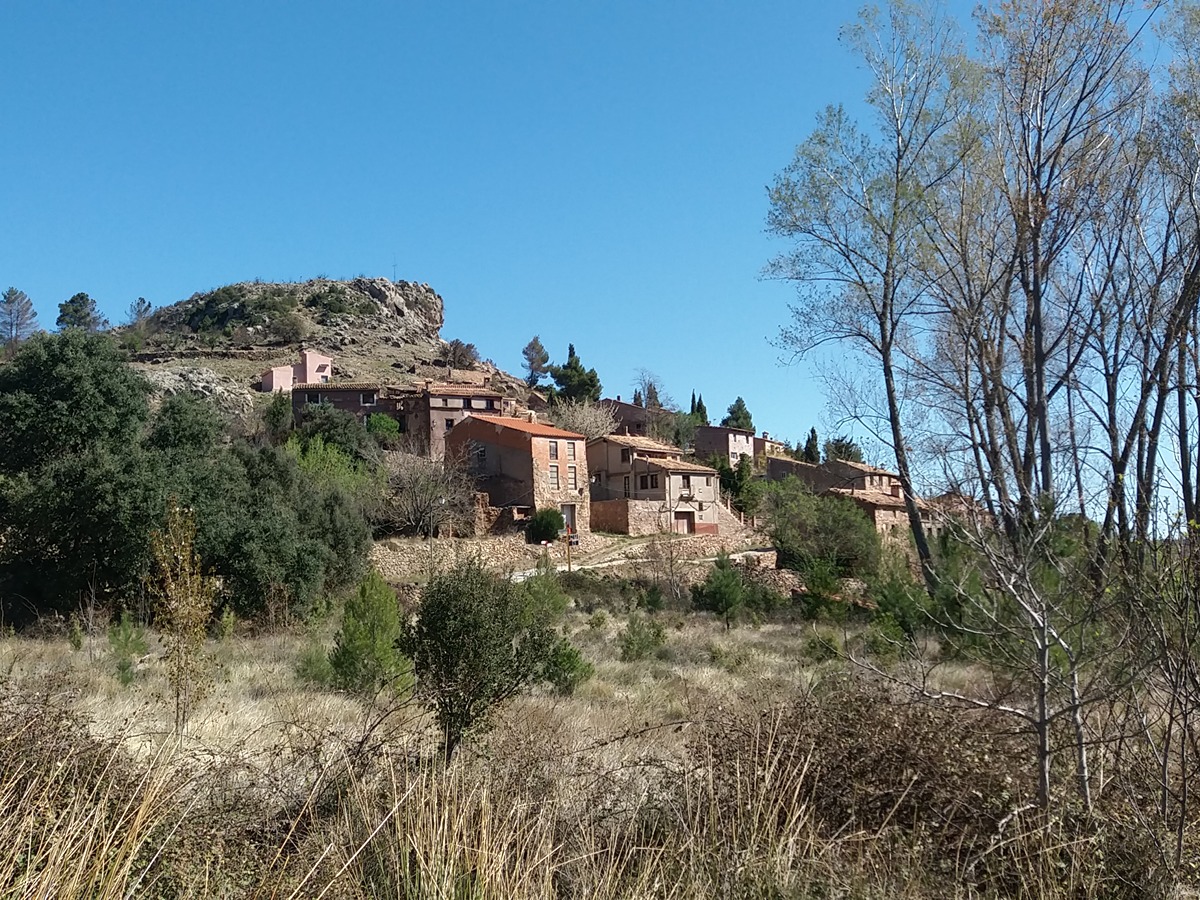
PR-CV 273 RESINERO - PEÑAS DEL DIABLO

Promoter: Ayuntamiento de Bejís

Certification status: Positive quality control

2 reviews

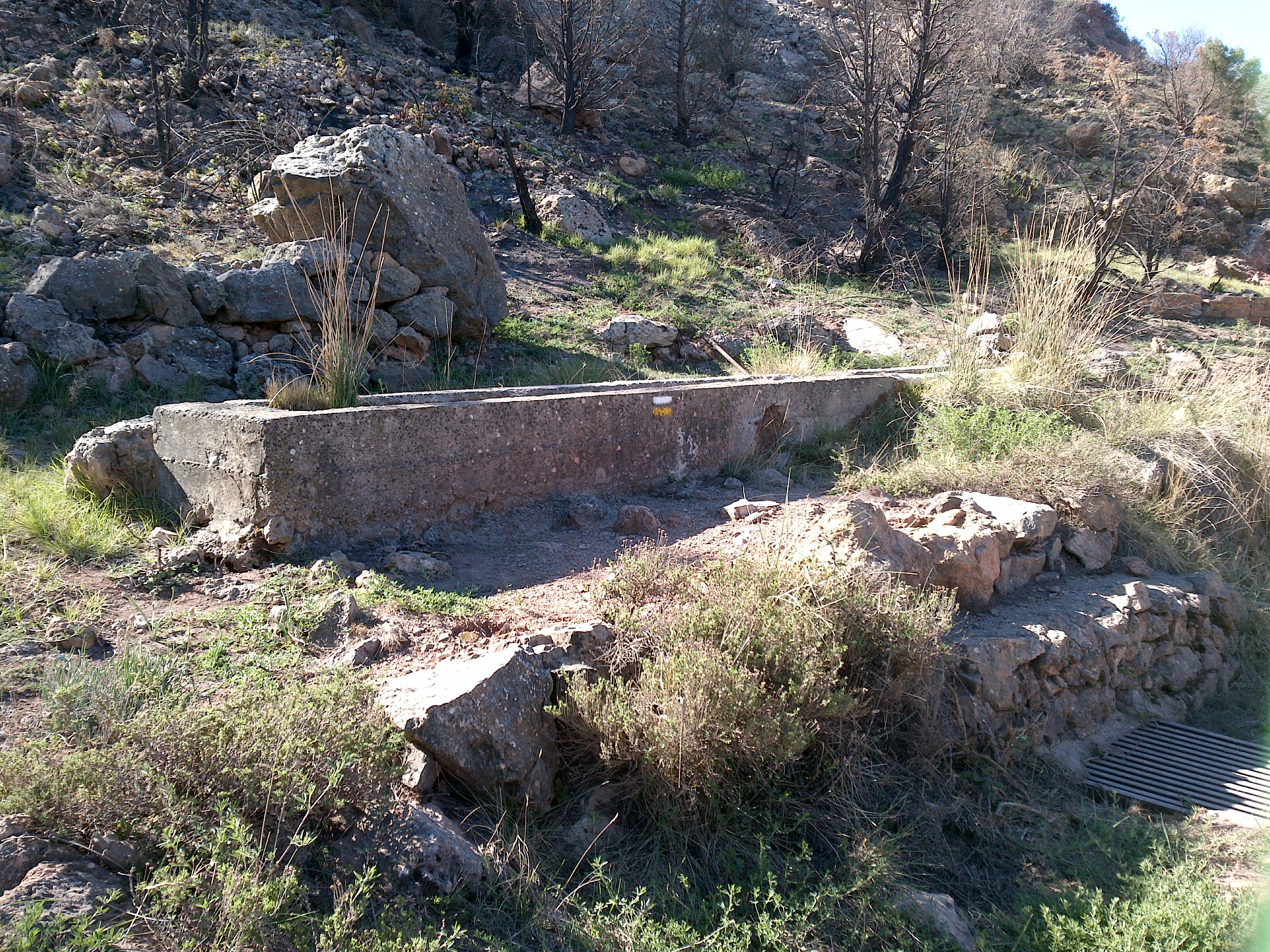
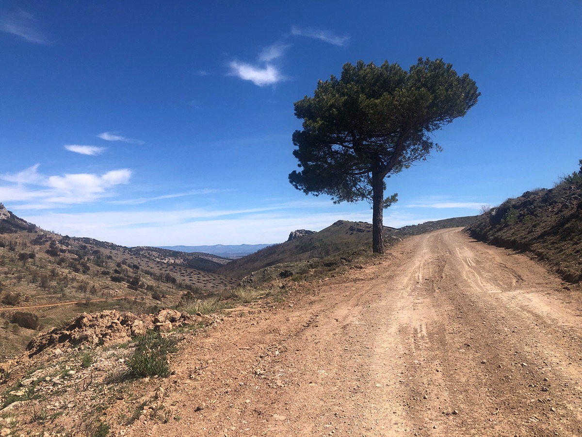
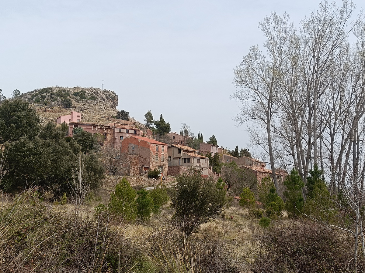
This route allows you to enjoy some spectacular panoramic views of the Palancia valley, the Canales valley and the Resinero ravine, always being overlooked by the imposing Peñascabia and the no less notable Peña Juliana.

Trail:
One way (point-to-point)
Technical data:
Length:
20,40 km
Estimated walking time:
05:35:00
Elevation gain:
790 m
Elevation loss:
630 m
MIDE ratings:
Level of natural risks:
2
Navigation on the trail:
2
Hiking difficulty:
1
Fitness level needed:
3

More information on Montaña Segura

Difficulty rating according to FEDME:
Unknown
Starting point:
End Point:
Interest Tags:
Trail with historical-artistic interest

Useful information:
Date of certification:
26-05-2023
Date of the last Quality Control:
may de 2023
Reference municipality:
Otros municipios por los que transcurre:
District:
Province:
Castellón/Castelló
Cartography IGN MTN25:
0639-3; 0639-1

Downloadable from the Catalogue of the IGN Map Library

See other trails of this promoter:
Protected Natural Spaces:

We advise you to look up the regulations and/or authorisations for using the trails in these conservation areas on the website of the Conselleria de Medio Ambiente, Agua, Infraestructuras y Territorio

  • Alto Palancia (SAC - Special Area of Conservation)
  • Alto Palancia (SIC - Site of Community Interest)
  • Peñaescabia (Municipal Natural Site)
Key points of the route:

Camino de Peñascabia (road) - SL-CV 54 connection - Mirador de Peña Elvira (viewpoint) - Fuente de la Sunsida (spring) - Fuente del Pocico (spring) - Fuente del Cantal (spring) - Camino de la Juliana (path) (Nevero de la Buitrera ice house) - Camino del Cubillo (path) (SL-CV 55 connection) - Arteas de Arriba

Route description (only available in Spanish)

Comenzamos el recorrido en el cruce del Camino de los Cloticos con el camino del Peñascabia, siguiendo la pista de tierra ascendente (dirección oeste). En pocos metros enlazaremos con el SL-CV 54, con el que compartiremos unos cientos de metros hasta volver a separarnos del mismo. El camino no tiene pérdida, ya que sólo debemos avanzar por la pista principal, ganando altura suavemente.

En nuestro ascenso dejaremos a mano izquierda la derivación que asciende al Peñascabia. El trazado principal continua por la pista para llegar primero al mirador de Peña Elvira. Algo más adelante nos volvemos a encontrar a mano izquierda con la variante que nos invita a continuar por la senda de Los Tajos. Seguimos por la pista de tierra y llegar a la fuente Sunsida y al collado de Rosales, continuando dirección oeste por el camino del Resinero hasta llegar a la fuente del Pocico.

Seguimos ascendiendo por la pista en dirección a las peñas del Diablo, dejando que la pista principal guíe nuestros pasos hasta dejar el barranco del Resinero y llegar a la fuente del Cantal. En este punto comenzamos a descender hacia Arteas de Arriba por la pista que ahora toma el nombre de camino de la Juliana hasta enlazar con el camino del Cubillo y conectar con el SL-CV 55, quedándonos ya apenas unos 500 metros para llegar a nuestro destino, Arteas de Arriba.

Downloads:

Beware! Navigation devices may fail, batteries may run out of power and devices may break down. Do not use only electronic means to track your activities in the mountains; they must be used as a complement to the map and compass. Get some proper training and enjoy the mountains.

Other trails connecting with this trail