

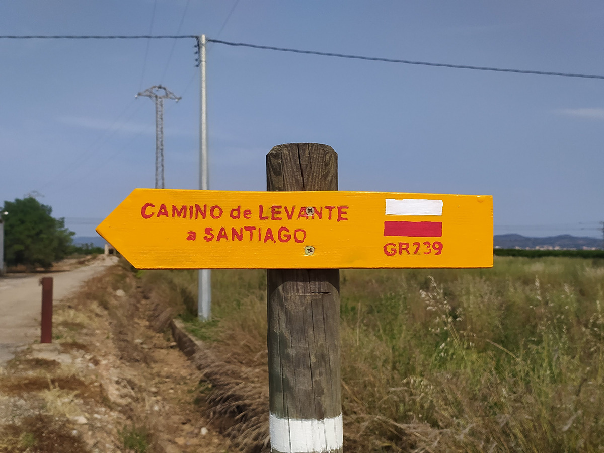
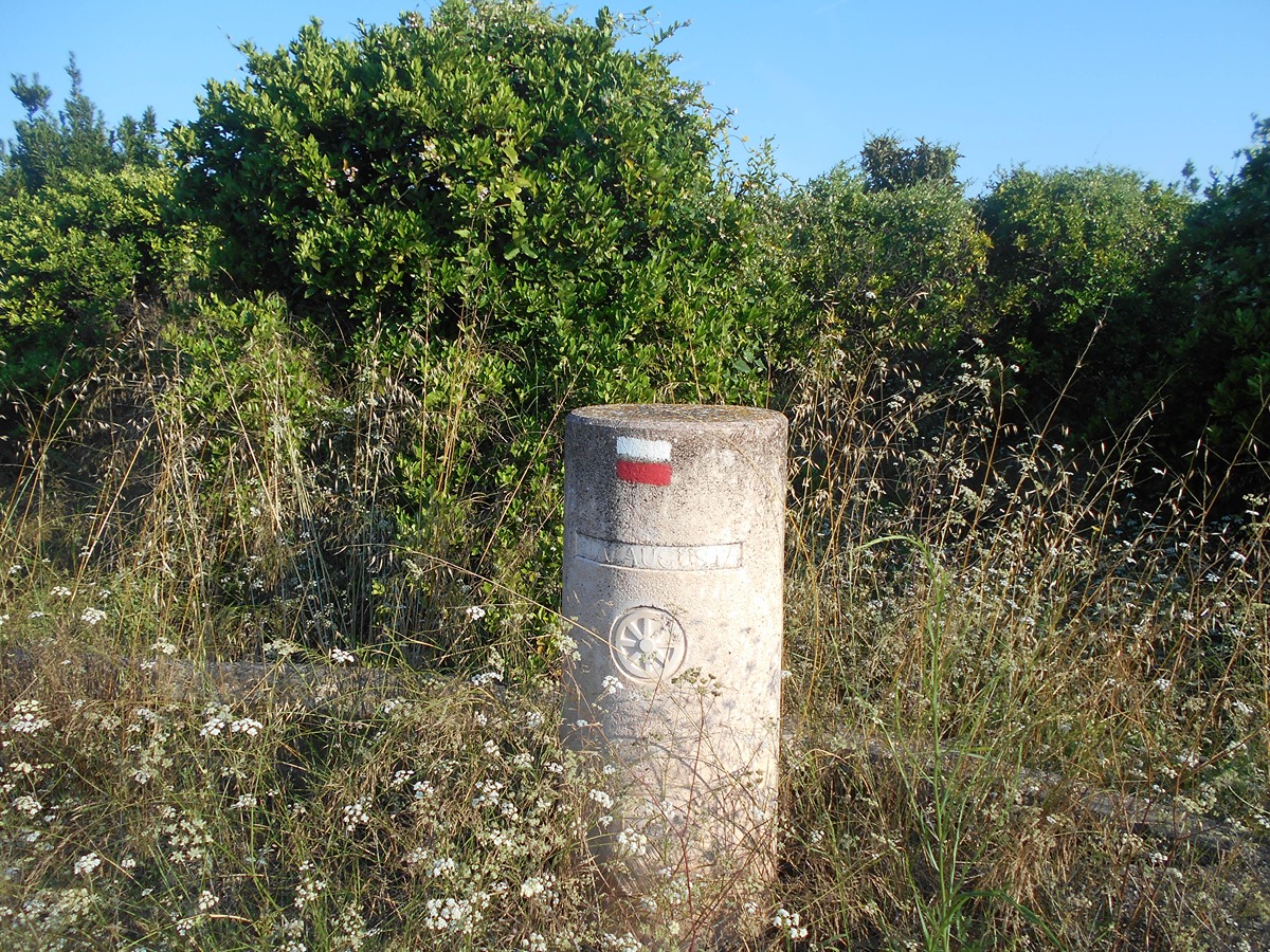
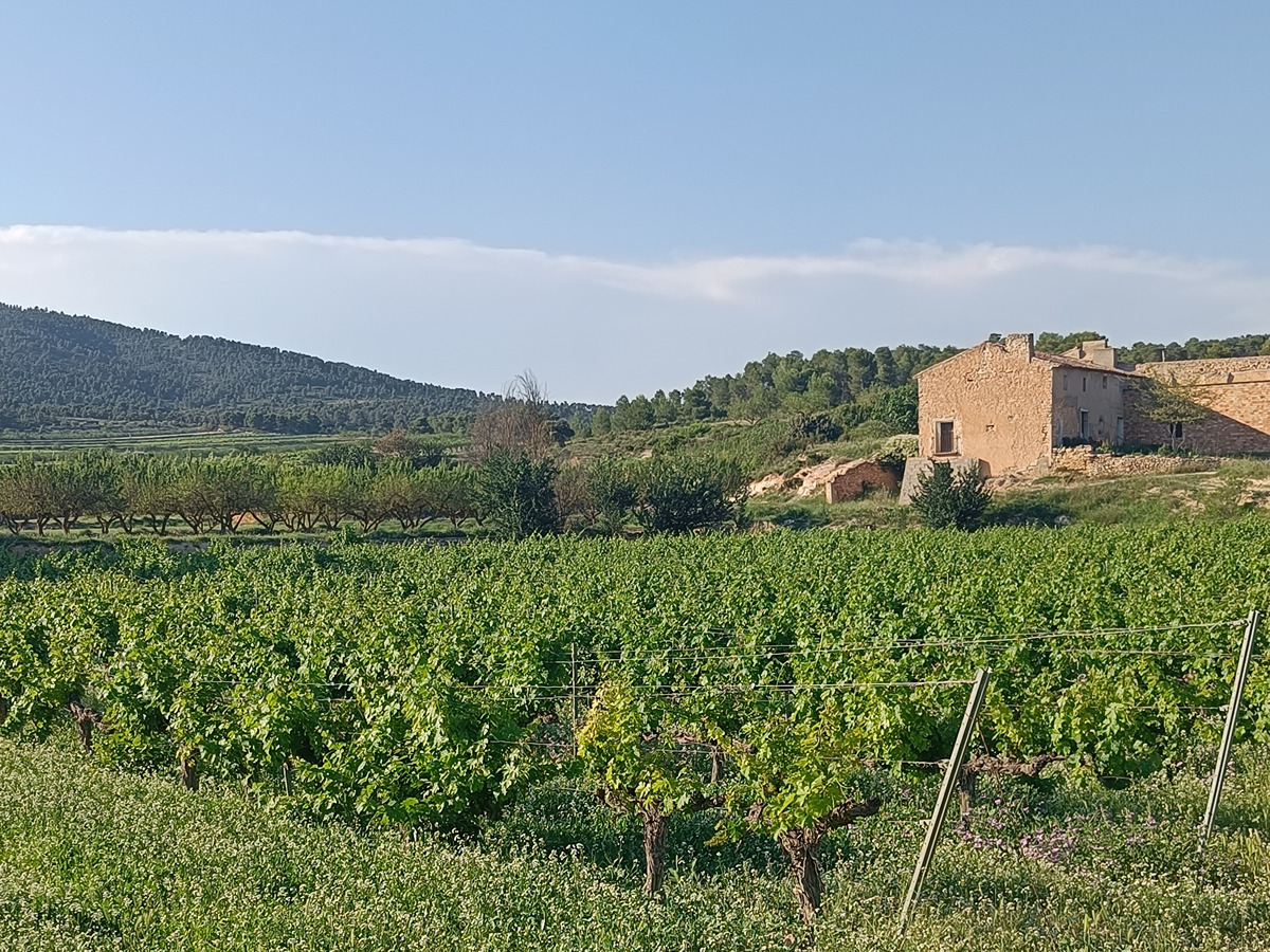
GR 239 CAMINO DE SANTIAGO DE LEVANTE
Promoter: Asociación de Amigos del Camino de Santiago
Certification status: See stages
0 reviews
Trail:
One way (point-to-point)
Stages
GR 239 E01 VALÈNCIA - ALGEMESÍ
Promoter: Asociación de Amigos del Camino de Santiago
Certification status: temporary cancellation
Etapa número: 1
Reference municipality: València
Length: 40,40 km
Estimated walking time: 10:20:00
Elevation gain: 90 m
Elevation loss: 85 m
(1)
GR 239 E02 ALGEMESÍ - XÀTIVA
Promoter: Asociación de Amigos del Camino de Santiago
Certification status: Positive quality control
Etapa número: 2
Reference municipality: Algemesí
Length: 30,10 km
Estimated walking time: 06:20:00
Elevation gain: 190 m
Elevation loss: 85 m
(0)
GR 239 E03 XÀTIVA - MOIXENT
Promoter: Asociación de Amigos del Camino de Santiago
Certification status: Positive quality control
Etapa número: 3
Reference municipality: Xàtiva
Length: 28,50 km
Estimated walking time: 06:30:00
Elevation gain: 490 m
Elevation loss: 255 m
(0)
GR 239 E04 MOIXENT - LA FONT DE LA FIGUERA
Promoter: Asociación de Amigos del Camino de Santiago
Certification status: Positive quality control
Etapa número: 4
Reference municipality: Moixent/Mogente
Length: 17,30 km
Estimated walking time: 04:15:00
Elevation gain: 465 m
Elevation loss: 285 m
(0)
GR 239 E05 LA FONT DE LA FIGUERA - LÍMITE PROVINCIAL ALBACETE
Promoter: Asociación de Amigos del Camino de Santiago
Certification status: Positive quality control
Etapa número: 5
Reference municipality: Font de la Figuera (La)
Length: 6,70 km
Estimated walking time: 01:40:00
Elevation gain: 220 m
Elevation loss: 15 m
(1)