Rate this trail

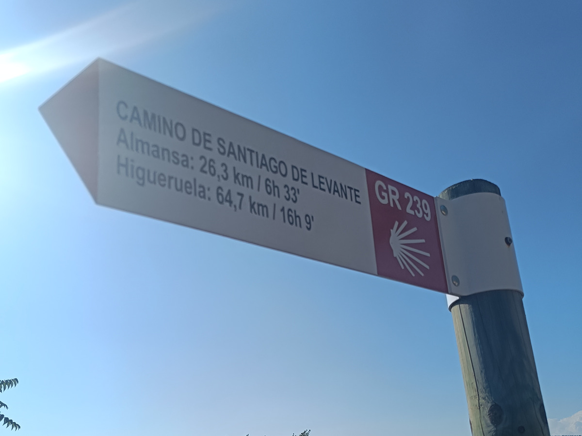
GR 239 E05 LA FONT DE LA FIGUERA - LÍMITE PROVINCIAL ALBACETE

Promoter: Asociación de Amigos del Camino de Santiago

Certification status: Positive quality control

1 review

The last approved section of the GR 239 of the Camino de Santiago de Levante in Valencia, which continues through La Mancha to Almansa.

Trail:
One way (point-to-point)
Technical data:
Length:
6,70 km
Estimated walking time:
01:40:00
Elevation gain:
220 m
Elevation loss:
15 m
MIDE ratings:
Level of natural risks:
2
Navigation on the trail:
2
Hiking difficulty:
1
Fitness level needed:
1

More information on Montaña Segura

Difficulty rating according to FEDME:
Unknown
Useful information:
Date of certification:
15-07-2009
Date of the act of registration in the Public Register:
01-09-2016
Date of the last Quality Control:
july de 2023
Reference municipality:
District:
Province:
Valencia/València
Cartography IGN MTN25:
0819-2

Downloadable from the Catalogue of the IGN Map Library

See other trails of this promoter:
Key points of the route:

Moixent - Local refuge - Park and spring Ravine Intersection - Motorway connection - Old Cabdet road - Barranco Juncarejos (ravine) - Casas Juncarejos (old country houses)

Route description (only available in Spanish)

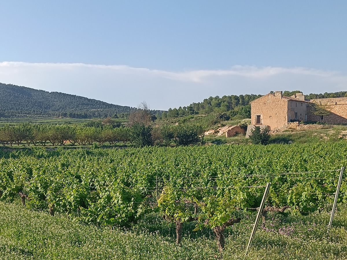
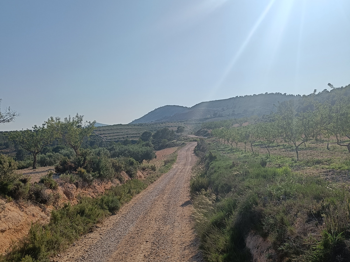
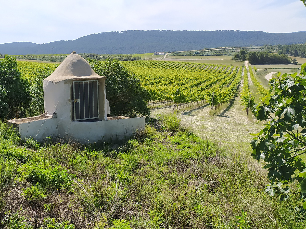
Desde el camino del cementerio atravesamos el pueblo para dirigirnos al albergue municipal. En este punto abandonamos el pueblo por el camí de l’Estació de Baix, paralelos al barranc dels Molins. Cruzamos la autovía por el pontet de l’Estació y girar a la izquierda paralelos a la autovía por el camí vell de Cabdet entre campos de secano.

Más adelante enlazamos con el camí dels Juncarejos y continuamos para remontar el barranco del mismo nombre hasta las Cases dels Juncarejos donde efectuamos un giro a la izquierda para seguir hasta alcanzar el límite del término municipal, provincial y autonómico.

Downloads:

Beware! Navigation devices may fail, batteries may run out of power and devices may break down. Do not use only electronic means to track your activities in the mountains; they must be used as a complement to the map and compass. Get some proper training and enjoy the mountains.

Comments: