
GR 239 E02 ALGEMESÍ - XÀTIVA
Promoter: Asociación de Amigos del Camino de Santiago
Certification status: Positive quality control
0 reviews
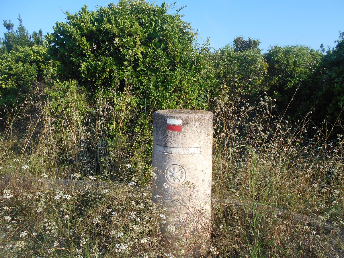
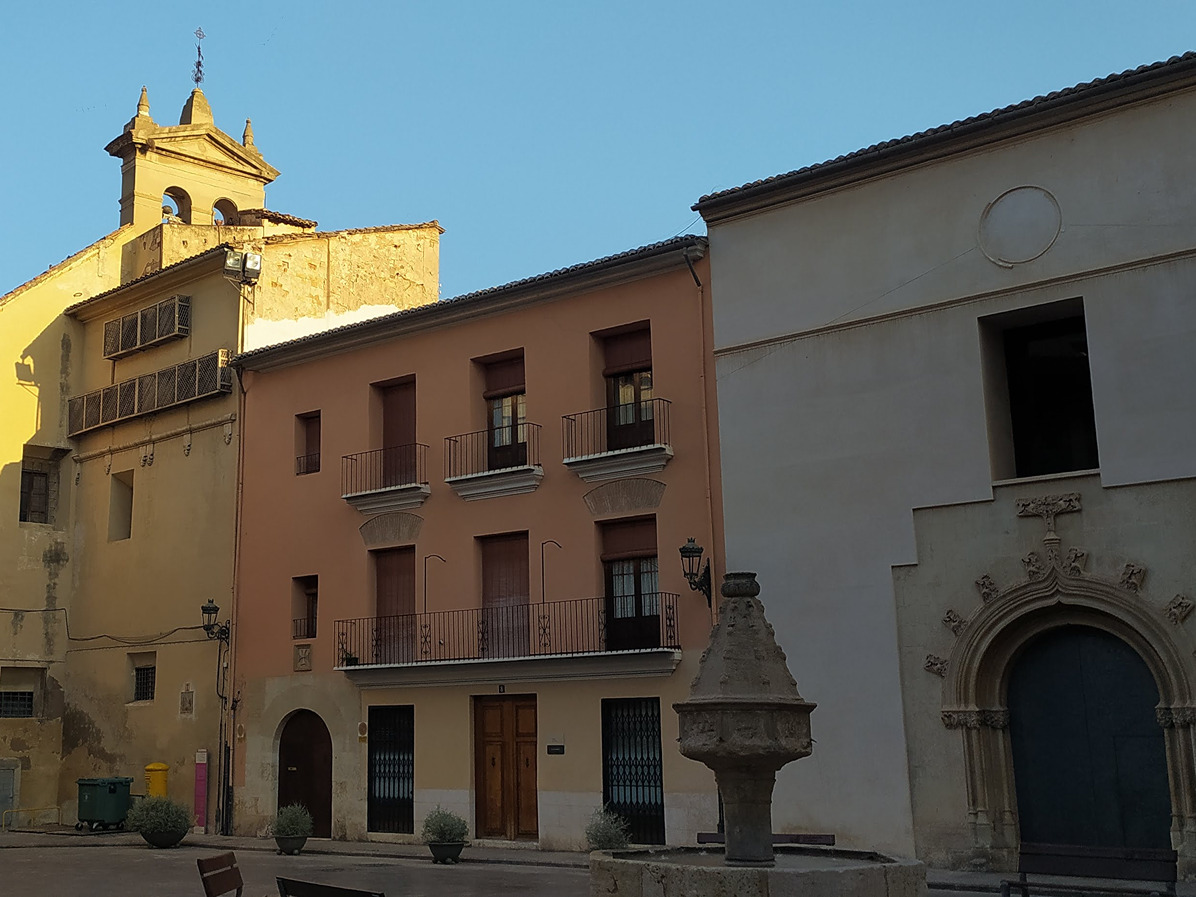
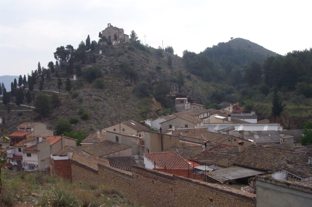
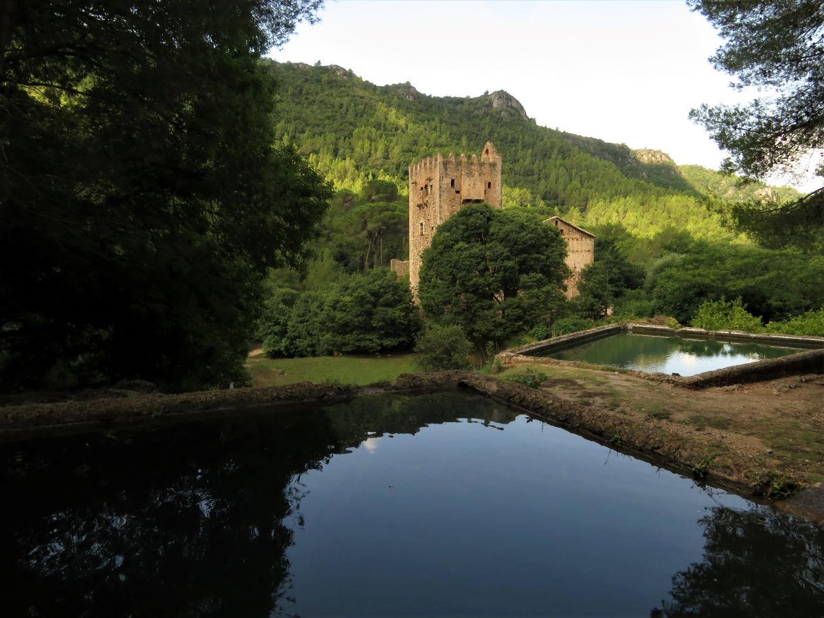
The second stage of the GR 239 trail starts in the town of Algemesí and runs through the towns of Alzira, Carcaixent, Cogujada, La Pobla Llarga and Manuel, ending in Xàtiva, the capital of La Costera. The entire route goes through the most important landmarks of each town, showing their culture, customs, traditions and, above all, agriculture.
Trail:
One way (point-to-point)
Main

GR 239 CAMINO DE SANTIAGO DE LEVANTE
Promoter: Asociación de Amigos del Camino de Santiago
Certification status: See stages
Reference municipality: València
Length: 125,50 km
Estimated walking time: 33:25:00
Elevation gain: 1.275 m
Elevation loss: 610 m
(0)
Previos stage
GR 239 E01 VALÈNCIA - ALGEMESÍ
Promoter: Asociación de Amigos del Camino de Santiago
Certification status: temporary cancellation
Etapa número: 1
Reference municipality: València
Length: 40,40 km
Estimated walking time: 10:20:00
Elevation gain: 90 m
Elevation loss: 85 m
(1)
Next stage
GR 239 E03 XÀTIVA - MOIXENT
Promoter: Asociación de Amigos del Camino de Santiago
Certification status: Positive quality control
Etapa número: 3
Reference municipality: Xàtiva
Length: 28,50 km
Estimated walking time: 06:30:00
Elevation gain: 490 m
Elevation loss: 255 m
(0)
Other trails connecting with this trail
PR-CV 78 ELS PARATGES DE XÀTIVA
Promoter: Ayuntamiento de Xàtiva
Certification status: No quality controls
Reference municipality: Xàtiva
Length: 15,80 km
Estimated walking time: 04:55:00
Elevation gain: 470 m
Elevation loss: 470 m
(1)
GR 160 CAMINO DEL CID. COMUNITAT VALENCIANA
Promoter: Patronatos Provinciales de Turismo de Castellón y Valencia
Certification status: See stages
Reference municipality: Puebla de Arenoso
Length: 78,40 km
Estimated walking time: 22:00:00
Elevation gain: 2.315 m
Elevation loss: 2.590 m
(0)
GR 236 RUTA DE LOS MONASTERIOS - EL PASO DEL POBRE
Promoter: Ayuntamiento de Alzira
Certification status: See stages
Reference municipality: Gandia
Length: 77,30 km
Estimated walking time: 24:00:00
Elevation gain: 2.640 m
Elevation loss: 2.370 m
(0)
PR-CV 303 D'ALZIRA A LA CASELLA
Promoter: Ayuntamiento de Alzira
Certification status: No quality controls
Reference municipality: Alzira
Length: 24,70 km
Estimated walking time: 06:25:00
Elevation gain: 770 m
Elevation loss: 600 m
(0)
PR-CV 421 RUTA BERNARDINA
Promoter: Ayuntamiento de Alzira
Certification status: No quality controls
Reference municipality: Carlet
Length: 15,00 km
Estimated walking time: 03:50:00
Elevation gain: 35 m
Elevation loss: 75 m
(0)