
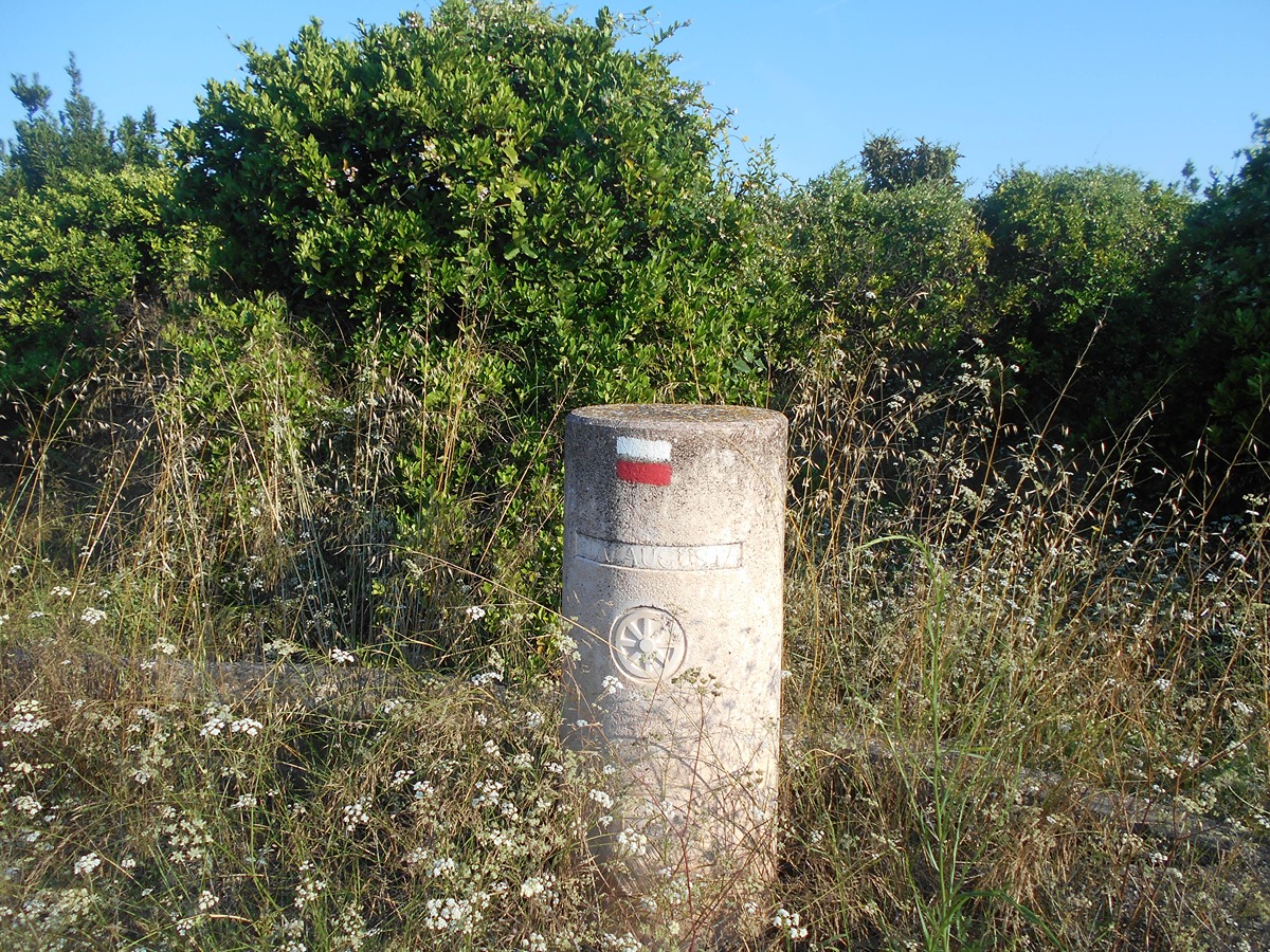
GR 160 CAMINO DEL CID. COMUNITAT VALENCIANA
Promoter: Patronatos Provinciales de Turismo de Castellón y Valencia
Certification status: See stages
0 reviews
Attention: The stages corresponding to the province of Valencia are in process of approval.
This route follows in the footsteps of the historical Cid in the many towns of what is now Comunitat Valenciana that are tributaries of this character or conquered by him according to the Cantar. Generally, it follows the course of the river Palancia as far as the Mediterranean and Valencia. From the capital, the Southern Defence goes to the towns of Xàtiva and Ontinyent. This approved trail ends at the border of the province of Alicante, on its way to Orihuela.
Trail:
One way (point-to-point)
Stages

GR 160 E01 LÍMITE PROVINCIAL TERUEL - PUEBLA DE ARENOSO
Promoter: O.A.L. Patronato Provincial de Turismo de Castellón
Certification status: No quality controls
Etapa número: 1
Reference municipality: Puebla de Arenoso
Length: 3,80 km
Estimated walking time: 01:30:00
Elevation gain: 250 m
Elevation loss: 230 m
(0)
GR 160 E02 PUEBLA DE ARENOSO – MONTANEJOS
Promoter: O.A.L. Patronato Provincial de Turismo de Castellón
Certification status: No quality controls
Etapa número: 2
Reference municipality: Puebla de Arenoso
Length: 14,50 km
Estimated walking time: 04:40:00
Elevation gain: 750 m
Elevation loss: 860 m
(0)
GR 160 E03 MONTANEJOS – CAUDIEL
Promoter: O.A.L. Patronato Provincial de Turismo de Castellón
Certification status: No quality controls
Etapa número: 3
Reference municipality: Montanejos
Length: 27,00 km
Estimated walking time: 07:55:00
Elevation gain: 1.135 m
Elevation loss: 970 m
(0)
GR 160 E04 CAUDIEL- ALTURA
Promoter: O.A.L. Patronato Provincial de Turismo de Castellón
Certification status: No quality controls
Etapa número: 4
Reference municipality: Caudiel
Length: 18,20 km
Estimated walking time: 03:55:00
Elevation gain: 100 m
Elevation loss: 305 m
(0)
GR 160 E05 ALTURA – LÍMITE PROVINCIAL VALENCIA
Promoter: O.A.L. Patronato Provincial de Turismo de Castellón
Certification status: No quality controls
Etapa número: 5
Reference municipality: Altura
Length: 14,90 km
Estimated walking time: 04:00:00
Elevation gain: 80 m
Elevation loss: 225 m
(0)
GR 160 E06 LÍMITE PROVINCIAL VALENCIA - SAGUNT
Promoter: Patronat Provincial de Turisme de València
Certification status: In process of approval
Etapa número: 6
Reference municipality: Algar de Palancia
(0)
GR 160 E07 SAGUNT - EL PUIG
Promoter: Patronat Provincial de Turisme de València
Certification status: In process of approval
Etapa número: 7
Reference municipality: Sagunt/Sagunto
(0)
GR 160 E08 EL PUIG - VALENCIA
Promoter: Patronat Provincial de Turisme de València
Certification status: In process of approval
Etapa número: 8
Reference municipality: Puig de Santa Maria, El
(0)
GR 160 E09 VALENCIA - ALMUSSAFES
Promoter: Patronat Provincial de Turisme de València
Certification status: See stages
Etapa número: 9
Reference municipality: València
(0)
GR 160 E10 ALMUSSAFES - ALZIRA
Promoter: Patronat Provincial de Turisme de València
Certification status: In process of approval
Etapa número: 10
Reference municipality: Almussafes
(0)
GR 160 E11 ALZIRA - XÀTIVA
Promoter: Patronat Provincial de Turisme de València
Certification status: In process of approval
Etapa número: 11
Reference municipality: Alzira
(0)
GR 160 E12 XÀTIVA - ONTINYENT
Promoter: Patronat Provincial de Turisme de València
Certification status: In process of approval
Etapa número: 12
Reference municipality: Xàtiva
(0)
GR 160 E13 ONTINYENT - LÍMITE PROVINCIAL ALICANTE
Promoter: Patronat Provincial de Turisme de València
Certification status: In process of approval
Etapa número: 13
Reference municipality: Ontinyent
(0)
Other trails connecting with this trail
GR 36 E06 TORRALBA DEL PINAR- MONTANEJOS
Promoter: Parque Natural de la Sierra de Espadán
Certification status: Negative quality control
Etapa número: 6
Reference municipality: Torralba del Pinar
Length: 17,50 km
Estimated walking time: 05:45:00
Elevation gain: 570 m
Elevation loss: 840 m
(0)
GR 239 E02 ALGEMESÍ - XÀTIVA
Promoter: Asociación de Amigos del Camino de Santiago
Certification status: Positive quality control
Etapa número: 2
Reference municipality: Algemesí
Length: 30,10 km
Estimated walking time: 06:20:00
Elevation gain: 190 m
Elevation loss: 85 m
(0)