Cambiar idioma a español / Cambiar idioma a english / Cambiar idioma a valencià

Rate this trail

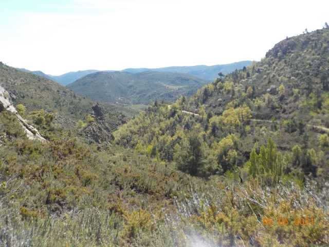
GR 160 E04 CAUDIEL- ALTURA

Promoter: O.A.L. Patronato Provincial de Turismo de Castellón

Certification status: No quality controls

0 reviews

There is no proof of quality control on the record of this trail in the last years. For this reason, it is unknown whether it complies with the optimal signage and maintenance conditions for hikers to take the trail following these signs exclusively.
Hikers have to take into consideration that the information about the signage and maintenance of the trails for which the promoter entity is responsible might not be up to date anymore, since it refers to its state on the date of its approval. Furthermore, mountain sports entail risks associated with the activity itself and the environment where they take place, for which any person is fully liable. For this reason, hikes need to be planned properly and adequate training, equipment and sensible use of the trails are required.

Trail:
One way (point-to-point)
Technical data:
Length:
18,20 km
Estimated walking time:
03:55:00
Elevation gain:
100 m
Elevation loss:
305 m
MIDE ratings:
Level of natural risks:
2
Navigation on the trail:
2
Hiking difficulty:
1
Fitness level needed:
3

More information at Montaña Segura

Difficulty rating according to FEDME:
Unknown
Useful information:
Date of certification:
12-12-2015
Reference municipality:
Otros municipios por los que transcurre:
District:
Province:
Castellón/Castelló
Cartography IGN MTN25:
0639-2; 0639-4; 0640-3

You can download them from the IGN Map Library Catalog

See other trails of this promoter:
Protected Natural Spaces:

It is recommended to consult the regulations and/or authorizations for the use of trails in these protected natural areas on the website of the Regional Ministry of Environment, Water, Infrastructure, and Territory

  • Curso Medio del Palancia (SIC - Site of Community Interest)
  • Curso medio del Palancia (SAC - Special Area of Conservation)
Weather information:
Nearest AVAMET weather station
Route description (only available in Spanish)

Iniciamos la etapa desde el convento de las Carmelitas, ubicado en la avenida Valencia. Bajamos por la calle Benilde Perce, situada a la izquierda del recinto religioso. Al final de la calle, giramos a la izquierda y seguimos hasta llegar a un puente. Cruzamos el arroyo y continuamos hasta una fuente y el antiguo lavadero. Desde allí, tomamos nuevamente la vía verde de Ojos Negros en su tramo de Castellón. El itinerario es claro, ya que discurre íntegramente por la vía verde.

A medio camino, llegamos al área de descanso de Novales. Continuamos pasando por un viaducto sobre el barranco de Cascajar y, poco después, atravesamos un túnel bajo la carretera de Jérica. Este túnel tiene 520 metros de longitud, pero no presenta dificultades, ya que está iluminado. Al salir, encontramos otra trinchera y un pequeño túnel bajo el actual ferrocarril.

Al llegar a la entrada de Jérica, abandonamos la vía verde y giramos a la derecha, cruzando un túnel bajo la carretera nacional. Luego, continuamos recto hasta llegar al centro de la población.

Cruzamos Jérica siguiendo las indicaciones urbanas de la vía verde hasta el cementerio. Desde allí, salimos de la localidad por el arcén de la antigua carretera nacional. Tras pasar la depuradora, retomamos nuevamente el trazado de la vía verde, junto a la antigua caseta delguardabarreras, a mano derecha. Descendemos por una larga trinchera hasta llegar al puente sobre el río Palancia. Más adelante, llegamos a un área de descanso junto a la antigua estación de Jérica.

Pasamos por debajo de la autovía y la carretera nacional, y llegamos a un pequeño túnel. Al salir, tenemos unas vistas del embalse del Regajo. Tras atravesar un último túnel, llegamos a la cantera de Navajas, donde encontramos otra área de descanso. A nuestra izquierda se encuentra el camping de Navajas. El itinerario no entra en el municipio, sino que pasa junto a la urbanización Altomira, en un cruce con la carretera CV-216, desde donde podemos desviarnos hacia la población.

Dejamos atrás el desvío y seguimos, pasando por debajo de una carretera y la autovía. Poco después, llegamos a Altura, donde tenemos dos opciones: seguir a la izquierda, callejeando por el casco urbano, o continuar a la derecha, por el trazado de la vía verde, que comparte el uso con el tráfico motorizado. Ambas opciones están señalizadas y se unen a la salida de la población, en un parque junto al camping.

Downloads:

Beware! Navigation devices may fail, batteries may run out of power and devices may break down. Do not use only electronic means to track your activities in the mountains; they must be used as a complement to the map and compass. Get some proper training and enjoy the mountains.

Other trails connecting with this trail