
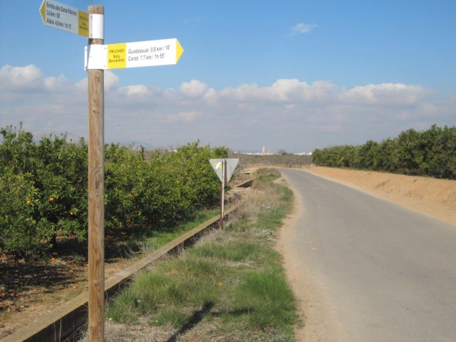
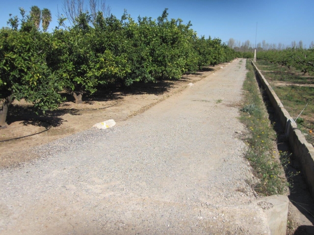
PR-CV 421 RUTA BERNARDINA
Promoter: Ayuntamiento de Alzira
Certification status: No quality controls
There is no proof of quality control on the record of this trail in the last years. For this reason, it is unknown whether it complies with the optimal signage and maintenance conditions for hikers to take the trail following these signs exclusively.
Hikers have to take into consideration that the information about the signage and maintenance of the trails for which the promoter entity is responsible might not be up to date anymore, since it refers to its state on the date of its approval. Furthermore, mountain sports entail risks associated with the activity itself and the environment where they take place, for which any person is fully liable. For this reason, hikes need to be planned properly and adequate training, equipment and sensible use of the trails are required.
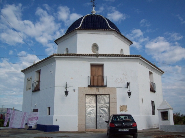
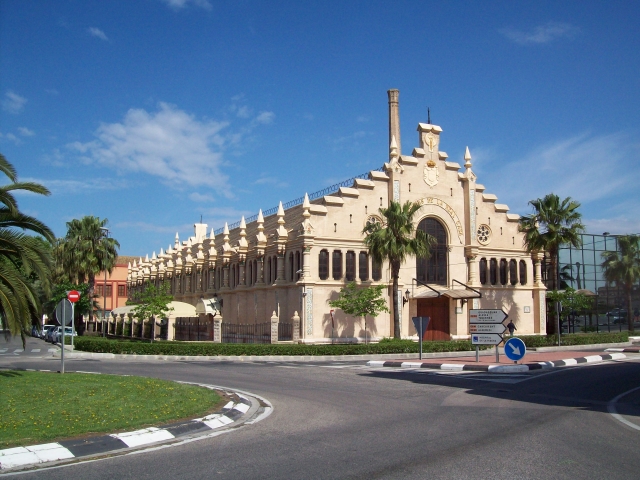
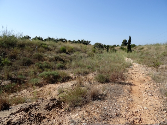
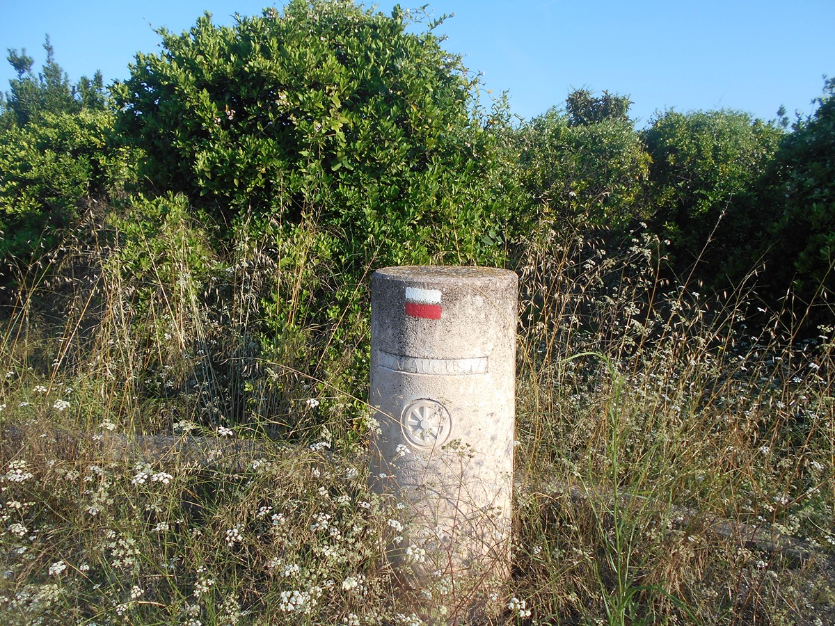
The Bernardina route is a 15 km long linear route, which connects the towns of Carlet and Alzira and recreates the escape of Saint Bernat from his birthplace in Carlet to Alzira, where he was martyred by his brother along with his two sisters. Tradition has it that Saint Bernat was an Arab prince from Carlet who renounced his royal status to embrace the Christian faith. Faced with his family's refusal to become evangelised, Saint Bernat fled with his sisters Zaida and Zoraida (Maria and Gracia), who he baptised in Guadassuar, where the baptismal font of Saint Bernat is preserved. They arrived in Alzira, where they were martyred on 21 August 1181, with a nail being driven through their heads.
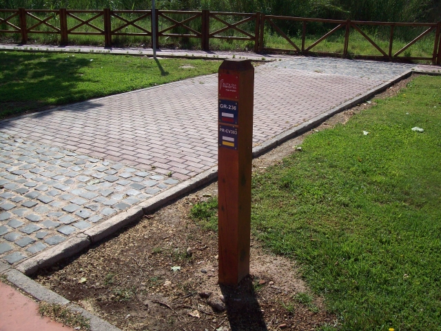
Other trails connecting with this trail
SL-CV 66 SENDA DELS BARRANCS DE L'ALCÚDIA
Promoter: Ayuntamiento de l'Alcúdia
Certification status: Negative quality control
GR 236 E04 LA BARRACA D'AIGÜES VIVES - ALZIRA
Promoter: Ayuntamiento de Alzira
Certification status: No quality controls
Etapa número: 4
GR 239 E02 ALGEMESÍ - XÀTIVA
Promoter: Asociación de Amigos del Camino de Santiago
Certification status: Positive quality control
Etapa número: 2
