Rate this trail

PR-CV 78 ELS PARATGES DE XÀTIVA

Promoter: Ayuntamiento de Xàtiva

Certification status: No quality controls

1 review

There is no proof of quality control on the record of this trail in the last years. For this reason, it is unknown whether it complies with the optimal signage and maintenance conditions for hikers to take the trail following these signs exclusively.
Hikers have to take into consideration that the information about the signage and maintenance of the trails for which the promoter entity is responsible might not be up to date anymore, since it refers to its state on the date of its approval. Furthermore, mountain sports entail risks associated with the activity itself and the environment where they take place, for which any person is fully liable. For this reason, hikes need to be planned properly and adequate training, equipment and sensible use of the trails are required.

Trail:
Loop
Technical data:
Length:
15,80 km
Estimated walking time:
04:55:00
Elevation gain:
470 m
Elevation loss:
470 m
MIDE ratings:
Level of natural risks:
1
Navigation on the trail:
2
Hiking difficulty:
2
Fitness level needed:
3

More information on Montaña Segura

Difficulty rating according to FEDME:
Unknown
Starting point:
Useful information:
Date of certification:
24-04-2002
Reference municipality:
Otros municipios por los que transcurre:
District:
Province:
Valencia/València
Cartography IGN MTN25:
0794-2; 0795-1

Downloadable from the Catalogue of the IGN Map Library

See other trails of this promoter:
Protected Natural Spaces:

We advise you to look up the regulations and/or authorisations for using the trails in these conservation areas on the website of the Conselleria de Medio Ambiente, Agua, Infraestructuras y Territorio

  • Curso Medio del río Albaida (SIC - Site of Community Interest)
  • La Cova Negra (Municipal Natural Site)
  • Serra del Castell (Flora Micro-reserve)
  • Serra del Castell de Xátiva (SIC - Site of Community Interest)
Key points of the route:

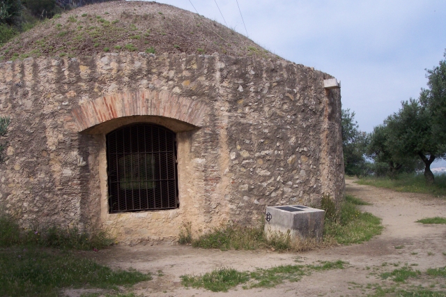
Font dels 25 Chorros (spring) - Ermita de San Antonio (chapel) - Arcadetes d'Alboi (aqueduct) - Variante El Paller-Barranc de la Caturla (variant) - Cova Negra (cave) - Albergue Casa de la Llum (refuge) - Variante El Paller-Barranc de la Caturla (variant) - Fuente Casa Quintana (spring) - casa Quintana (old rural house)- Ice house and Castell de Xàtiva (fort) - Sant Josep Church

Route description (only available in Spanish)

El pequeño recorrido comienza en la fuente denominada Font dels 25 Chorros, en la misma se ubica el panel explicativo de la duración y trazado del recorrido.
Entre la N-340 y la C-610 comienza el camino de Sant Antoni y al finalizar un pequeño tramo urbanizado llegamos a la Ermita de San Antonio. Poco después encontramos una senda de 1,5 km que bordea el río Albaida, formando una fauna y flora características de un ecosistema húmedo. La senda nos aproxima al acueducto árabe conocido como Les Arcadetes, donde encontraremos una pequeña fuente. Continuamos por la senda y llegamos hasta Alboi, donde hay un lugar de acampada particular.
Siguiendo la senda que bordea el río llegamos hasta la Fuente de Segura, donde comenzaremos el sector conocido como la Racó de la Cova Negra, en este lugar podemos coger la variante del sendero, con la cueva del mismo nombre, representativa del paleolítico valenciano. Cerca de allí se puede acampar previa autorización municipal en la explanada de la Casa de la Llum, antigua central eléctrica.
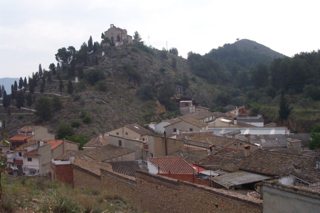
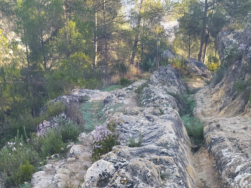
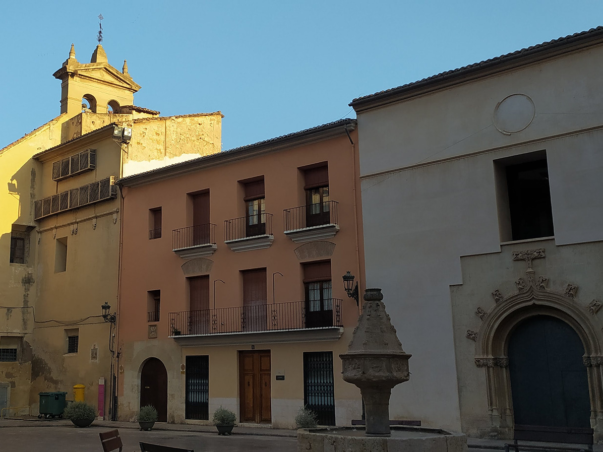
Al otro lado del río se encuentra l'Aventador, gran pared rocosa con tradición de escalada en roca. Dejando el río, subimos la sierra y después de cruzar la N-340 en dirección a la Font y casa de Quintana, que encontraremos después de pasar por una cantera abandonada. En este tramo veremos que un bosque típico valenciano con pinos carrascas, madroños … Siguiendo el camino, llegamos al Portet, antigua vía romana que nos lleva hasta la carretera que sube al castillo. Continuando por el camino llegamos a la Ermita de Sant Feliu y a la iglesia de Sant Josep, donde se encuentra la puerta por la cual accedió Jaime I al recinto amurallado, Aquí también se encuentra enterrada la ciudad ibera de Saetabis. Siguiendo la muralla romana llegamos hasta un paso abierto de la muralla donde se divisa el punto de partida.

Downloads:

Beware! Navigation devices may fail, batteries may run out of power and devices may break down. Do not use only electronic means to track your activities in the mountains; they must be used as a complement to the map and compass. Get some proper training and enjoy the mountains.

Alternative routes and routes leading to nearby points of interest

Other trails connecting with this trail