
GR 332 E01 GR 332 E01 ESTUBENY - NAVARRÉS
Promoter: Mancomunitat de la Canal de Navarrés
Certification status: Positive quality control
0 reviews
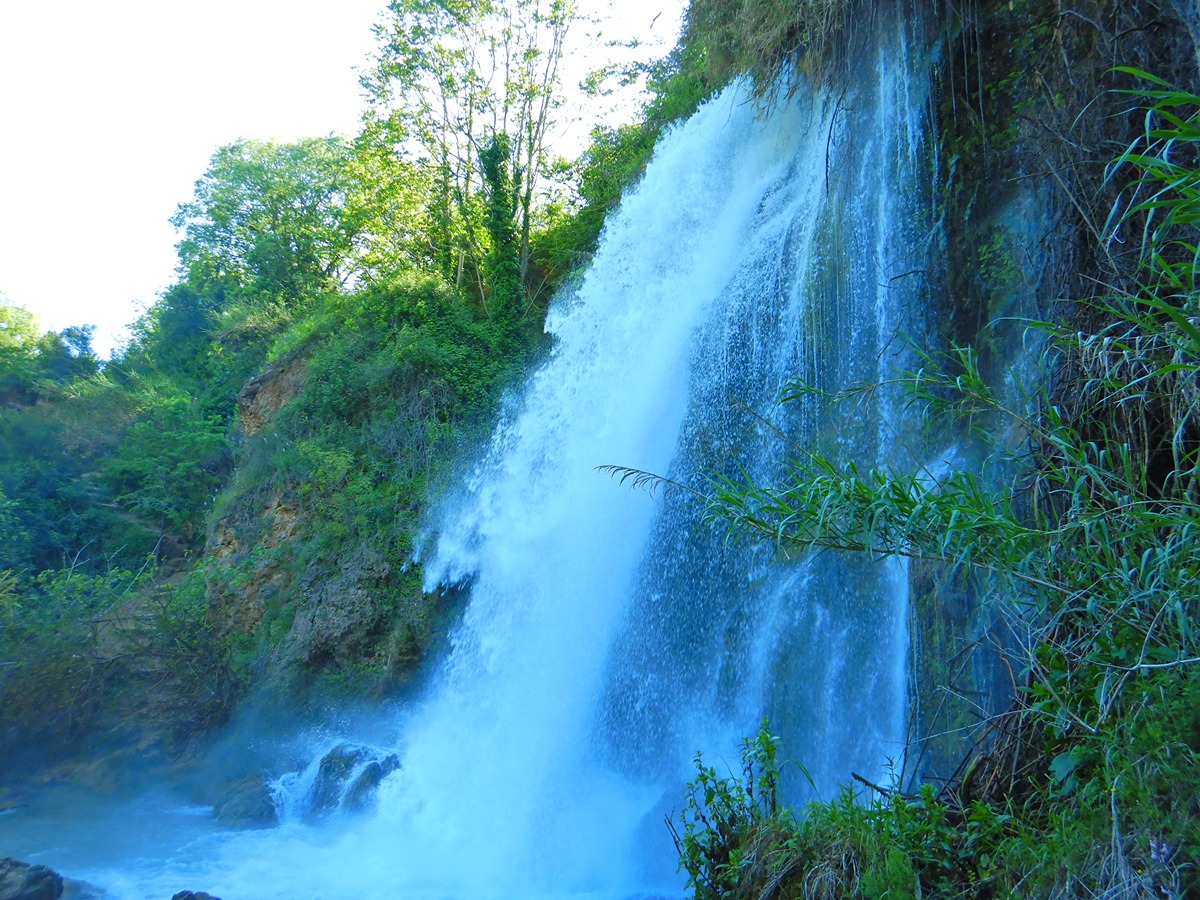
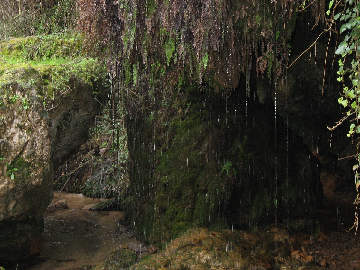
With water as its protagonist, this route offers you areas such as the Local Natural Area of Interest of Cabrentá or bathing areas such as Playamonte, several ponds and waterfalls, as well as the adventure of crossing the Sellent and Anna rivers on several occasions.
Trail:
One way (point-to-point)
Main
Reference municipality: Navarrés
Length: 62,60 km
Estimated walking time: 19:35:00
Elevation gain: 2.210 m
Elevation loss: 1.330 m
(1)
Next stage
GR 332 E02 GR 332 E02 NAVARRÉS - BICORP
Promoter: Mancomunitat de la Canal de Navarrés
Certification status: Positive quality control
Etapa número: 2
Reference municipality: Navarrés
Length: 19,00 km
Estimated walking time: 05:50:00
Elevation gain: 520 m
Elevation loss: 490 m
(2)
Other trails connecting with this trail
PR-CV 113 AZAGADOR DE CHELLA A ANNA
Promoter: Mancomunitat de la Canal de Navarrés
Certification status: No quality controls
Reference municipality: Chella
Length: 7,07 km
Estimated walking time: 02:05:00
Elevation gain: 80 m
Elevation loss: 1.000 m
(0)
Reference municipality: Navarrés
Length: 10,30 km
Estimated walking time: 03:10:00
Elevation gain: 275 m
Elevation loss: 275 m
(0)
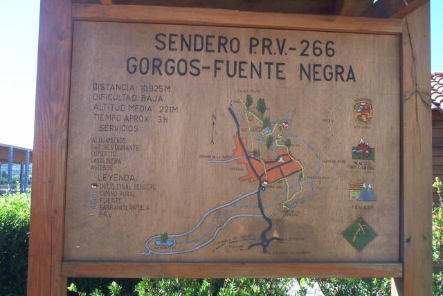
PR-CV 266 GORGOS - FUENTE NEGRA
Promoter: Asociación Macizo del Caroig
Certification status: In process of approval
Reference municipality: Anna
Length: 10,93 km
Estimated walking time: 03:00:00
Elevation gain: 70 m
Elevation loss: 70 m
(0)
Reference municipality: Navarrés
Length: 15,90 km
Estimated walking time: 03:40:00
Elevation gain: 245 m
Elevation loss: 245 m
(1)