
GR 332 LA CANAL
Promoter: Mancomunitat de la Canal de Navarrés
Certification status: See stages
1 review
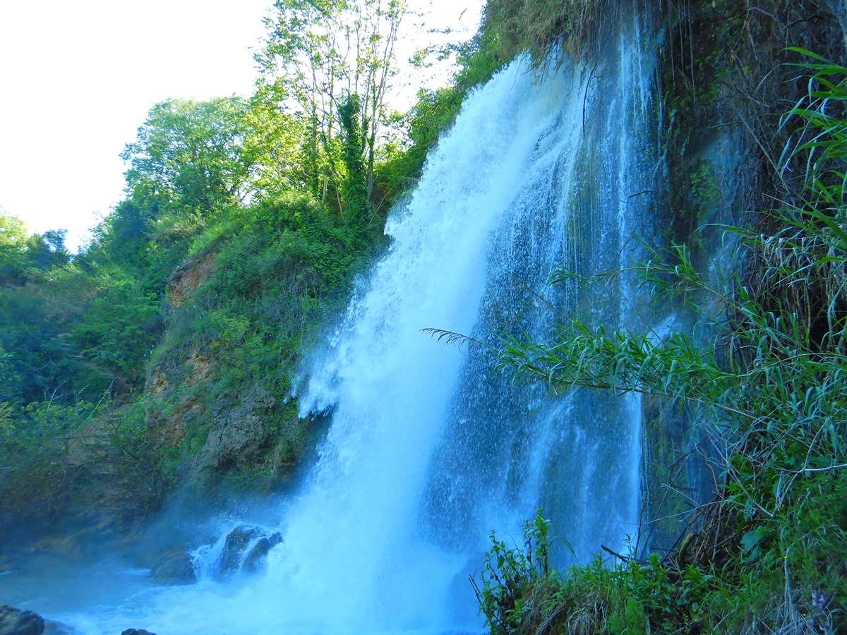
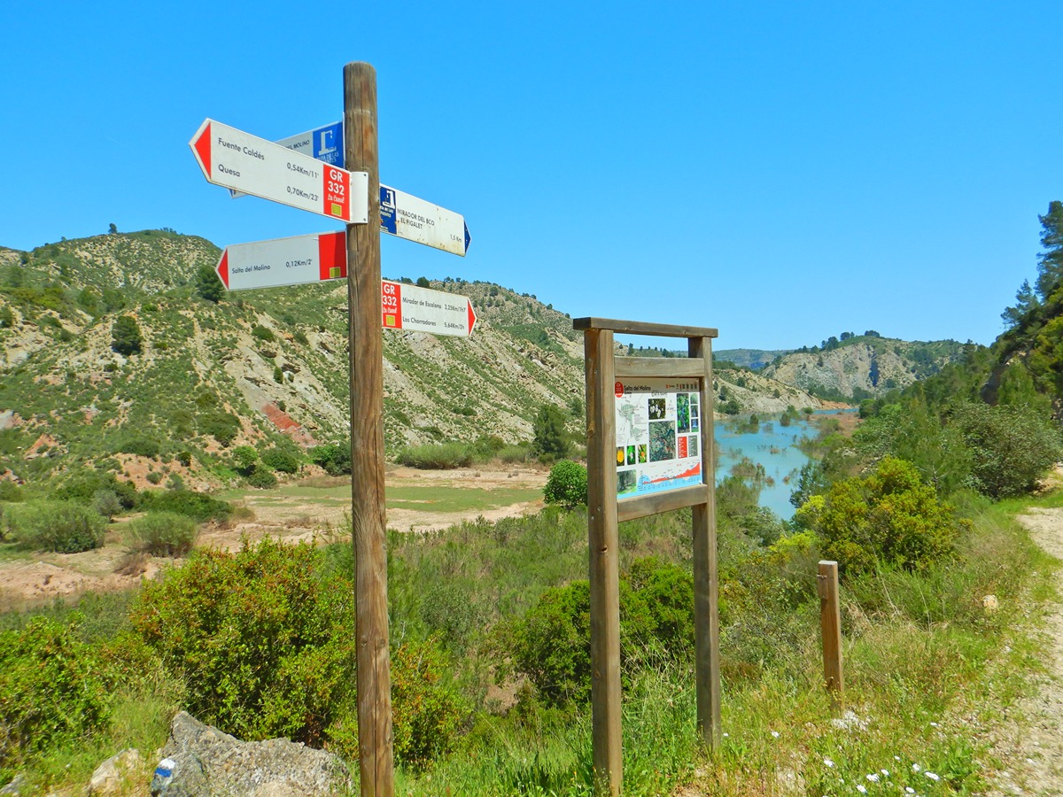
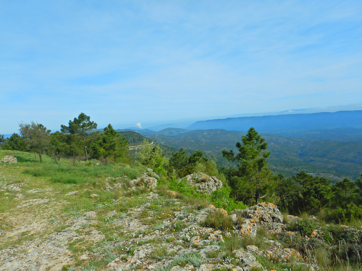
The "La Canal" long-distance trail runs from Estubeny to the Caroche peak, crossing the municipalities and iconic natural spaces of Anna, Chella, Bolbaite, Navarrés, Quesa and Bicorp.
Trail:
One way (point-to-point)
Stages
GR 332 E01 GR 332 E01 ESTUBENY - NAVARRÉS
Promoter: Mancomunitat de la Canal de Navarrés
Certification status: Positive quality control
Etapa número: 1
Reference municipality: Estubeny
Length: 24,40 km
Estimated walking time: 07:20:00
Elevation gain: 575 m
Elevation loss: 485 m
(0)
GR 332 E02 GR 332 E02 NAVARRÉS - BICORP
Promoter: Mancomunitat de la Canal de Navarrés
Certification status: Positive quality control
Etapa número: 2
Reference municipality: Navarrés
Length: 19,00 km
Estimated walking time: 05:50:00
Elevation gain: 520 m
Elevation loss: 490 m
(2)
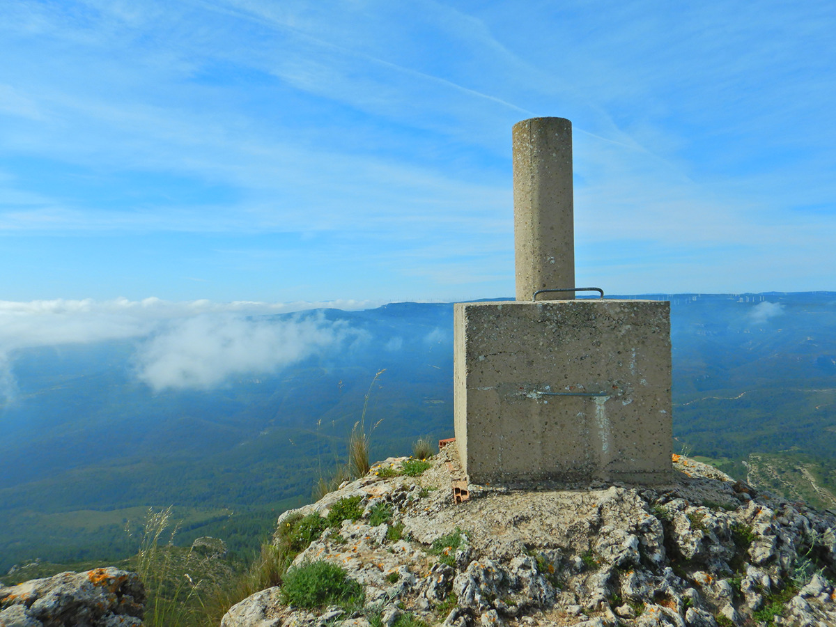
GR 332 E03 GR 332 E03 BICORP - PICO DEL CAROCHE
Promoter: Mancomunitat de la Canal de Navarrés
Certification status: Positive quality control
Etapa número: 3
Reference municipality: Bicorp
Length: 19,20 km
Estimated walking time: 06:25:00
Elevation gain: 1.115 m
Elevation loss: 290 m
(1)
Other trails connecting with this trail
Reference municipality: Navarrés
Length: 10,30 km
Estimated walking time: 03:10:00
Elevation gain: 275 m
Elevation loss: 275 m
(0)
Reference municipality: Navarrés
Length: 3,20 km
Estimated walking time: 01:05:00
Elevation gain: 160 m
Elevation loss: 90 m
(0)

PR-CV 236 PICO DEL FRAILE
Promoter: Asociación Macizo del Caroig
Certification status: Conditioned quality control
Reference municipality: Bicorp
Length: 5,80 km
Estimated walking time: 02:05:00
Elevation gain: 300 m
Elevation loss: 300 m
(0)
Reference municipality: Navarrés
Length: 15,90 km
Estimated walking time: 03:40:00
Elevation gain: 245 m
Elevation loss: 245 m
(1)