Rate this trail

PR-CV 236 PICO DEL FRAILE

Promoter: Asociación Macizo del Caroig

Certification status: Conditioned quality control

0 reviews

Following the inspection carried out by trail technicians, this trail has been declared of "limited adequacy" as a result of the faults detected in the signage. These include inadequate horizontal signs (paint markers) and/or vertical ones (trailheads and information boards) or lacking direction markers that do not provide sufficient information to properly follow the route. The builder of this trail has been informed of the situation.
For safety reasons and during maintenance work, it is advised to be extremely careful while taking this route. Furthermore, mountain sports entail risks associated with the activity itself and the environment where they take place, for which any person is fully liable. For this reason, hikes need to be planned properly and adequate training, equipment and sensible use of the trails are required.

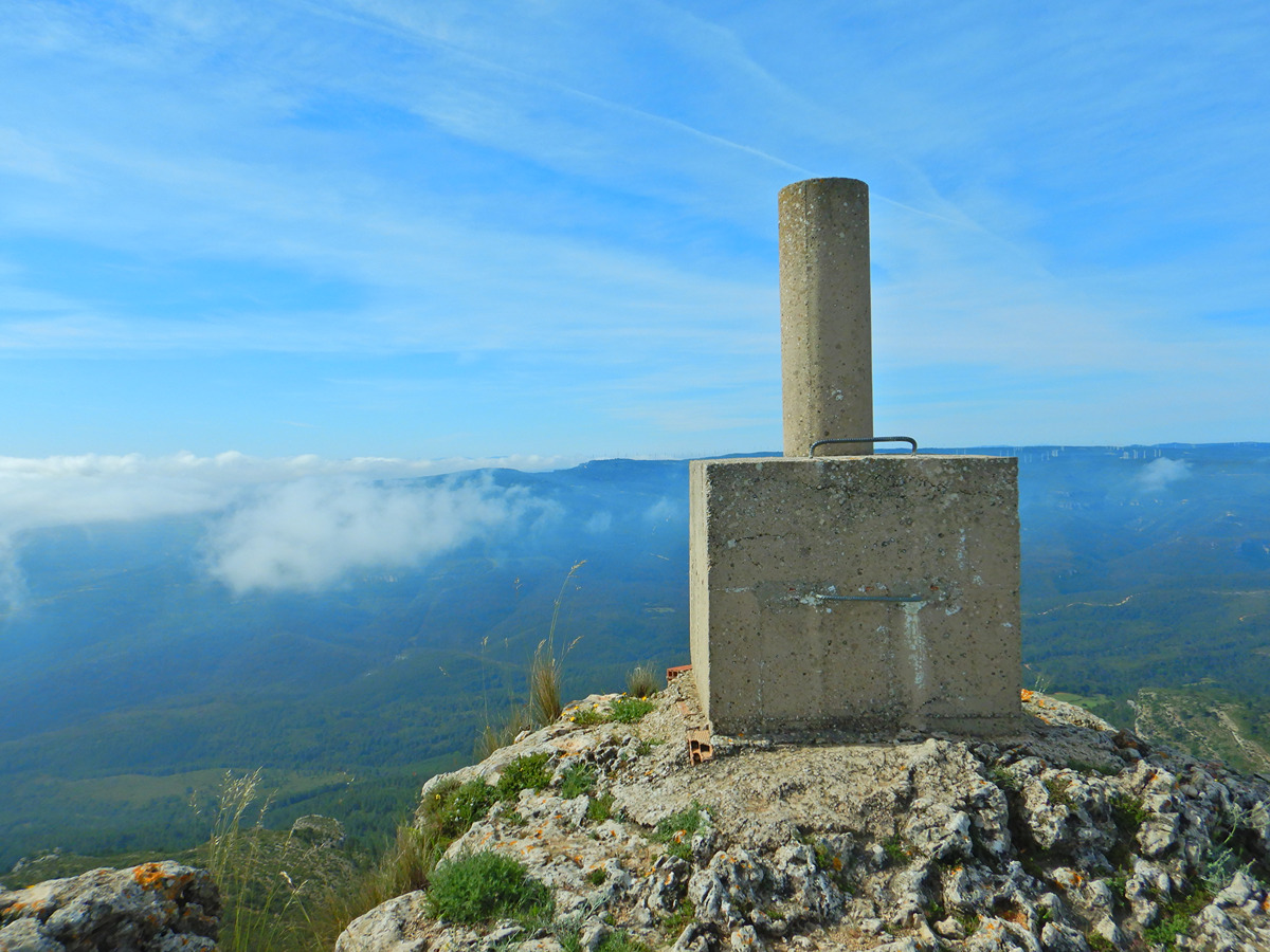
This trail has an initial flat route next to the Fraile river, with ideal places to cool off, and then it crosses the river to go up to the top of the Fraile where you can enjoy the views. It continues down to the river, which is crossed again to finish at the camping area of El Benefatal.

Trail:
Loop
Technical data:
Length:
5,80 km
Estimated walking time:
02:05:00
Elevation gain:
300 m
Elevation loss:
300 m
MIDE ratings:
Level of natural risks:
2
Navigation on the trail:
2
Hiking difficulty:
3
Fitness level needed:
2

More information on Montaña Segura

Difficulty rating according to FEDME:
Unknown
Starting point:
Useful information:
Date of certification:
15-02-2002
Date of the act of registration in the Public Register:
22-05-2007
Date of the last Quality Control:
may de 2022
Reference municipality:
Province:
Valencia/València
Cartography IGN MTN25:
0768-2; 0768-4; 0769-1; 0769-3

Downloadable from the Catalogue of the IGN Map Library

See other trails of this promoter:
Protected Natural Spaces:

We advise you to look up the regulations and/or authorisations for using the trails in these conservation areas on the website of the Conselleria de Medio Ambiente, Agua, Infraestructuras y Territorio

  • Muela de Cortes y el Caroche (SIC - Site of Community Interest)
  • Muela de Cortes y el Caroche (SAC - Special Area of Conservation)
  • Sierra de Martés - Muela de Cortes (SPAB - Special Protection Area for Birds)
Key points of the route:

Recreation area of El Benefatal - Charco del Paso (natural pool) - Charco de la Tosca (natural pool) - Aguja del pico Fraile (peak) - Cima del pico Fraile (summit) - Cima del Churlit (summit) - recreation area of El Benefatal

Route description (only available in Spanish)

Salimos del camping Los Botijos, en la zona del Benefatal, por la pista que recorre el cauce del río Fraile. Pasamos junto el charco del Paso y el charco de la Tosca, lugares donde el río crea unas bonitas pozas naturales. Tras recorrer 2 km de pista tomamos el sendero a la derecha que en pocos metros nos lleva al cauce del río que debemos cruzar saltando por las piedras. Iniciamos la subida a la curiosa formación de la aguja del Fraile y después de rodearla hacemos una sencilla trepada para llegar a la cima. Continuamos por las lomas siguiendo la senda que va por el cortafuegos de la era del Virrey primero y por el cortafuegos del Churlit después. En el km 5 iniciamos un fuerte descenso hacia la rambla de la Molinera que cruzamos para subir los últimos metros hasta el área recreativa del Benefatal.

Downloads:

Beware! Navigation devices may fail, batteries may run out of power and devices may break down. Do not use only electronic means to track your activities in the mountains; they must be used as a complement to the map and compass. Get some proper training and enjoy the mountains.

Other trails connecting with this trail