
GR 332 E03 GR 332 E03 BICORP - PICO DEL CAROCHE
Promoter: Mancomunitat de la Canal de Navarrés
Certification status: Positive quality control
1 review
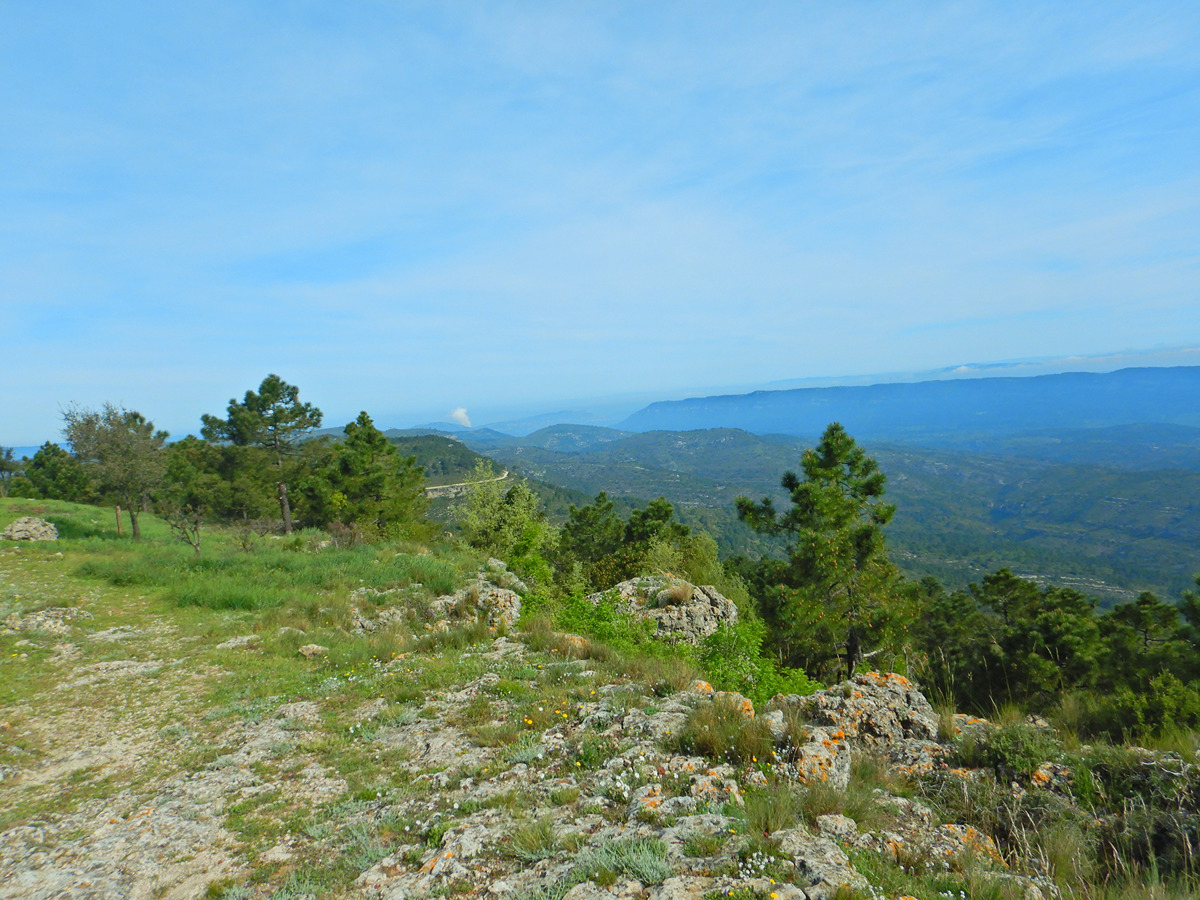
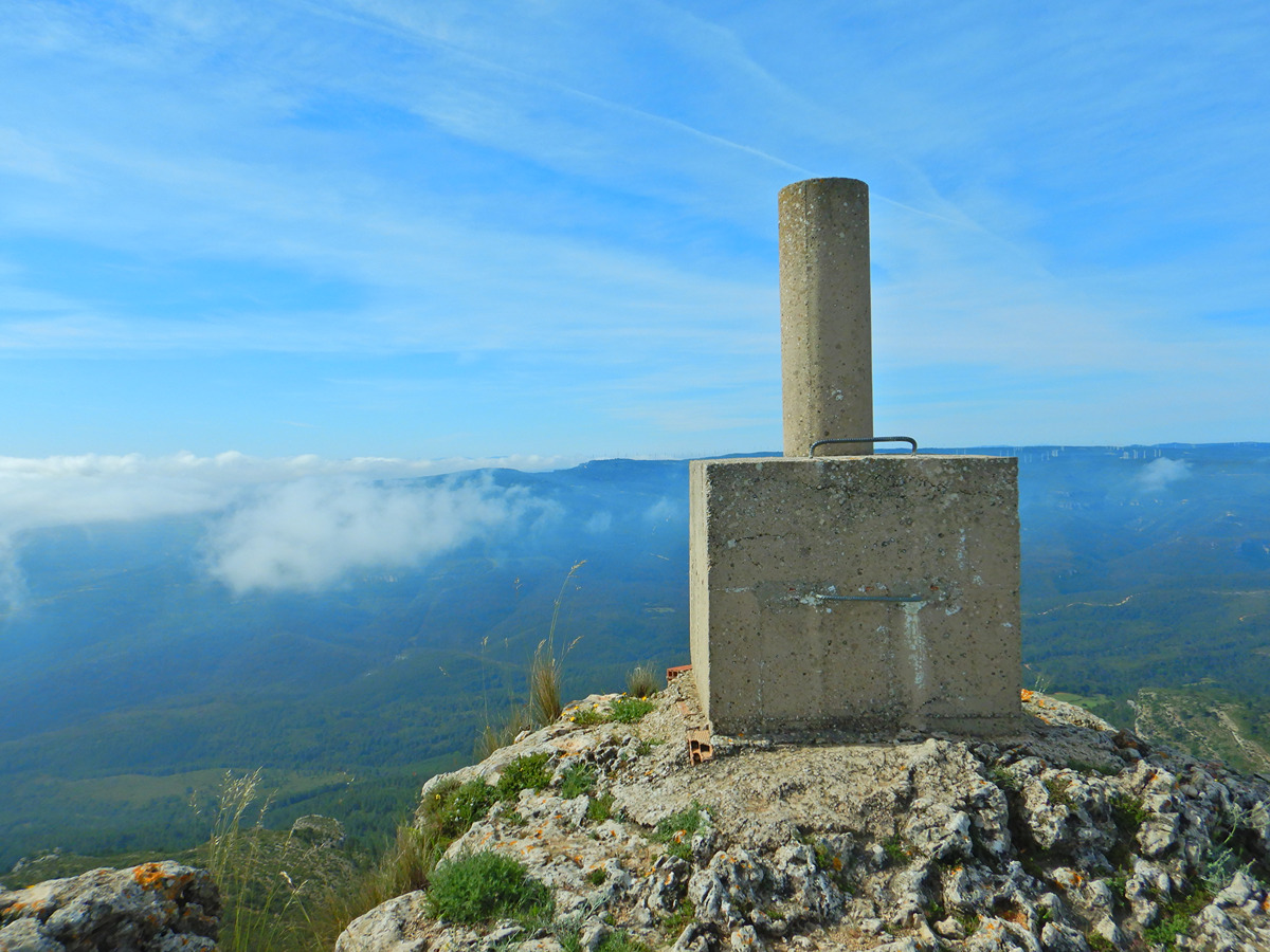
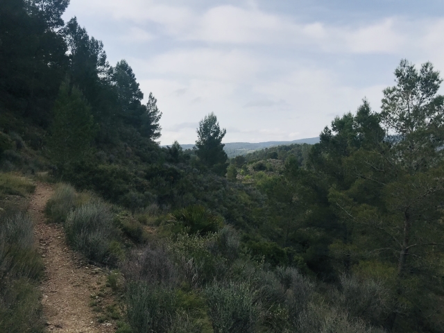
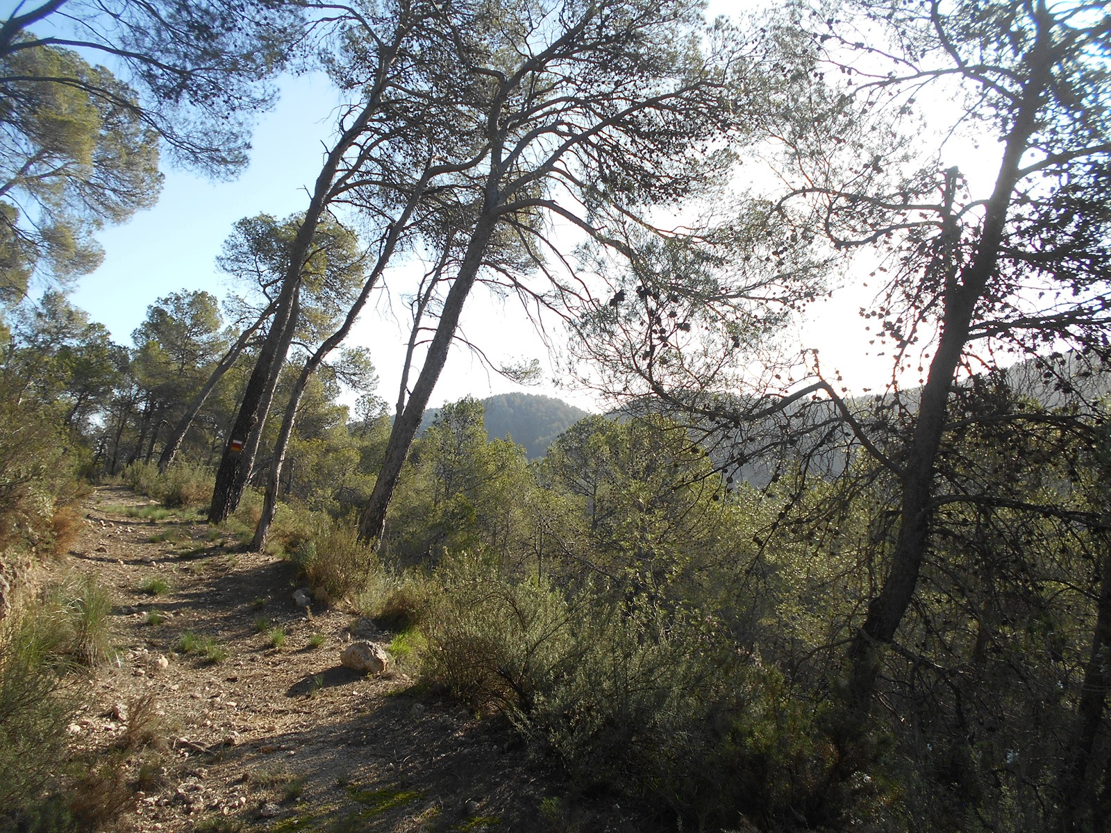
This stage allows you to climb the Caroche peak at an altitude of 1,126 m, where you will have beautiful views of the municipalities of Teresa de Cofrentes and Bicorp. In addition, in the most mountainous section, you can enjoy the forest in the area of the Salado ravine.
Trail:
One way (point-to-point)
Main
Reference municipality: Navarrés
Length: 62,60 km
Estimated walking time: 19:35:00
Elevation gain: 2.210 m
Elevation loss: 1.330 m
(1)
Previos stage
GR 332 E02 GR 332 E02 NAVARRÉS - BICORP
Promoter: Mancomunitat de la Canal de Navarrés
Certification status: Positive quality control
Etapa número: 2
Reference municipality: Navarrés
Length: 19,00 km
Estimated walking time: 05:50:00
Elevation gain: 520 m
Elevation loss: 490 m
(2)
Other trails connecting with this trail
GR 7 E43 COLLADO CAROCHE - CASAS DE BENALI
Promoter: Generalitat Valenciana
Certification status: Positive quality control
Etapa número: 43
Reference municipality: Teresa de Cofrentes
Length: 26,50 km
Estimated walking time: 08:15:00
Elevation gain: 680 m
Elevation loss: 970 m
(0)

GR 7 COMUNITAT VALENCIANA. FREDES - EL PINÓS/PINOSO
Promoter: Generalitat Valenciana
Certification status: See stages
Reference municipality: Pobla de Benifassà (La)
Length: 586,60 km
Estimated walking time: 180:35:00
Elevation gain: 17.635 m
Elevation loss: 18.585 m
(0)
PR-CV 235 RUTA DE BENEDRIZ
Promoter: Asociación Macizo del Caroig
Certification status: Positive quality control
Reference municipality: Bicorp
Length: 9,90 km
Estimated walking time: 03:20:00
Elevation gain: 425 m
Elevation loss: 425 m
(0)
PR-CV 237 RUTA DEL BARRANCO SALADO
Promoter: Ayuntamiento de Bicorp
Certification status: Conditioned quality control
Reference municipality: Bicorp
Length: 7,20 km
Estimated walking time: 02:05:00
Elevation gain: 310 m
Elevation loss: 310 m
(0)

PR-CV 446 PICO CAROCHE
Promoter: Ayuntamiento de Teresa de Cofrentes
Certification status: Negative quality control
Reference municipality: Teresa de Cofrentes
Length: 18,10 km
Estimated walking time: 04:40:00
Elevation gain: 750 m
Elevation loss: 165 m
(0)