
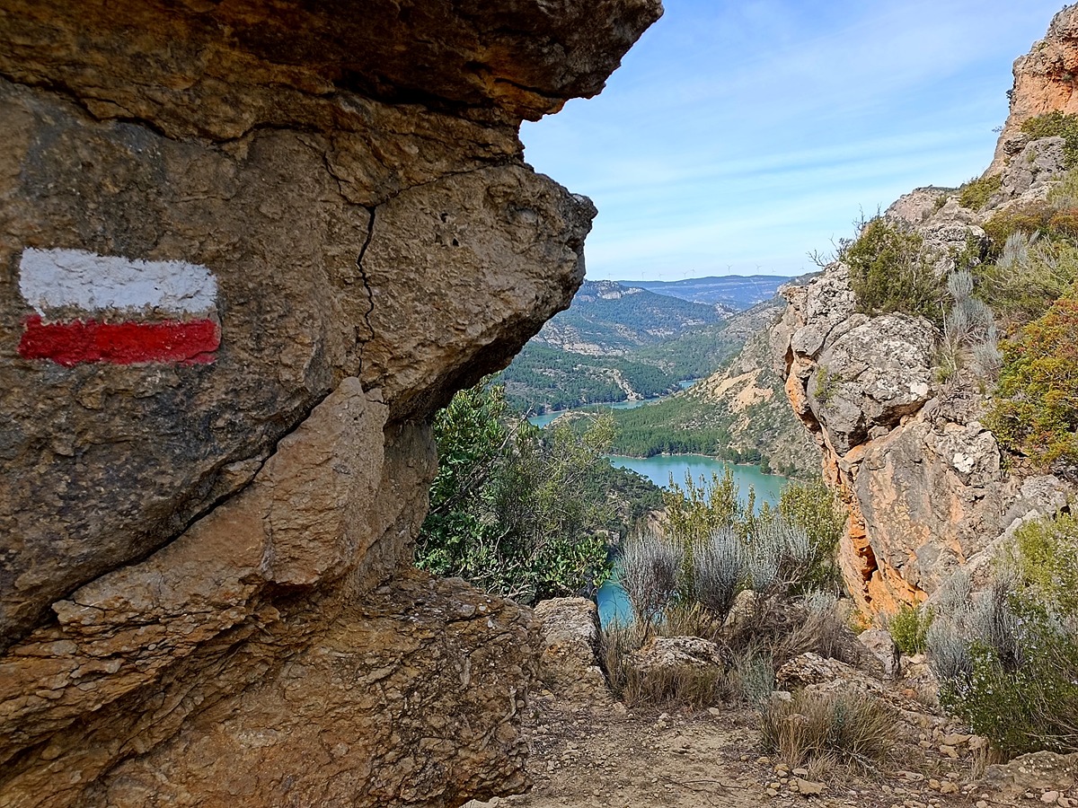
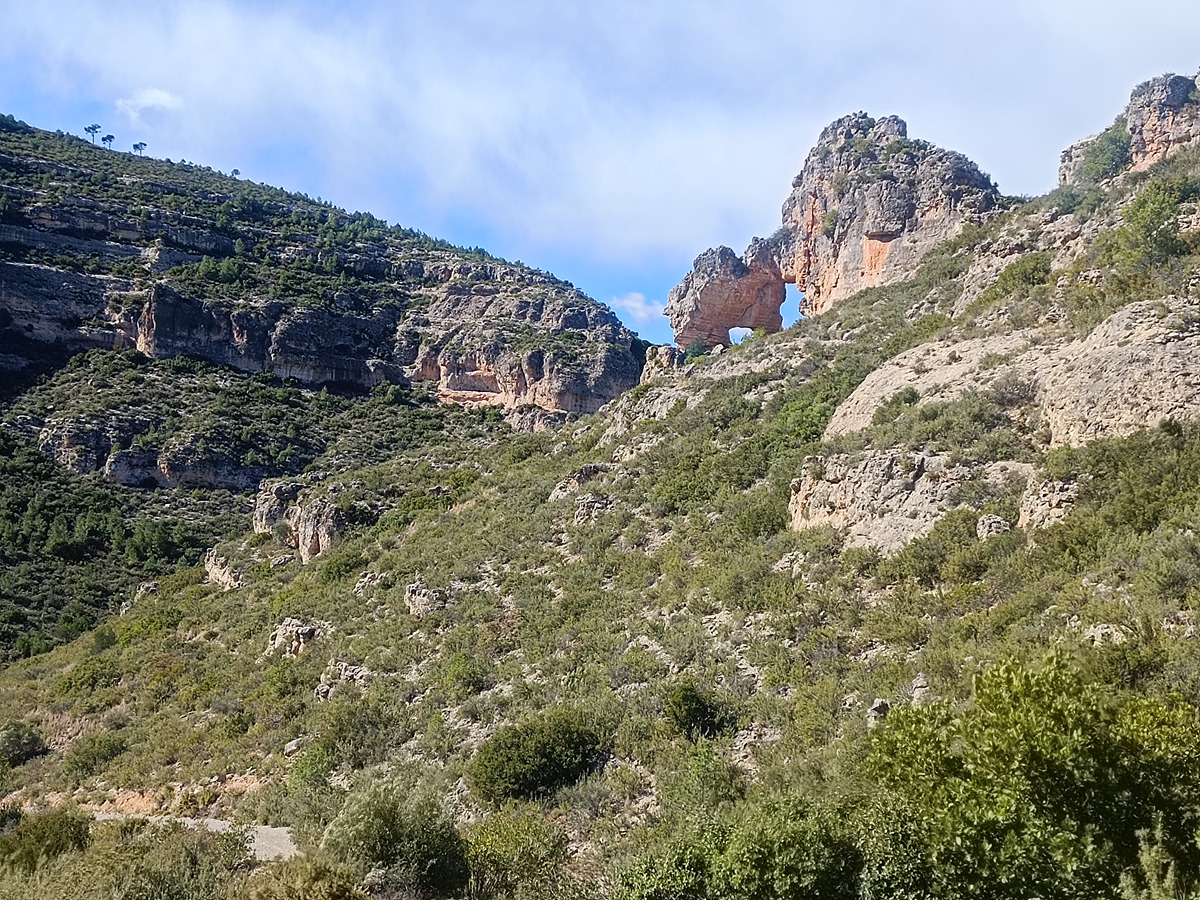
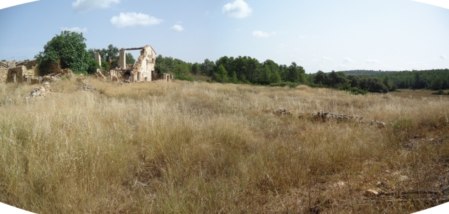
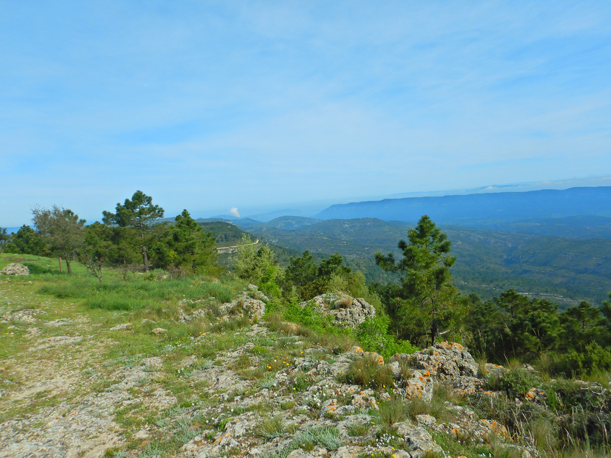
GR 7 E43 COLLADO CAROCHE - CASAS DE BENALI
Promoter: Generalitat Valenciana
Certification status: Positive quality control
0 reviews
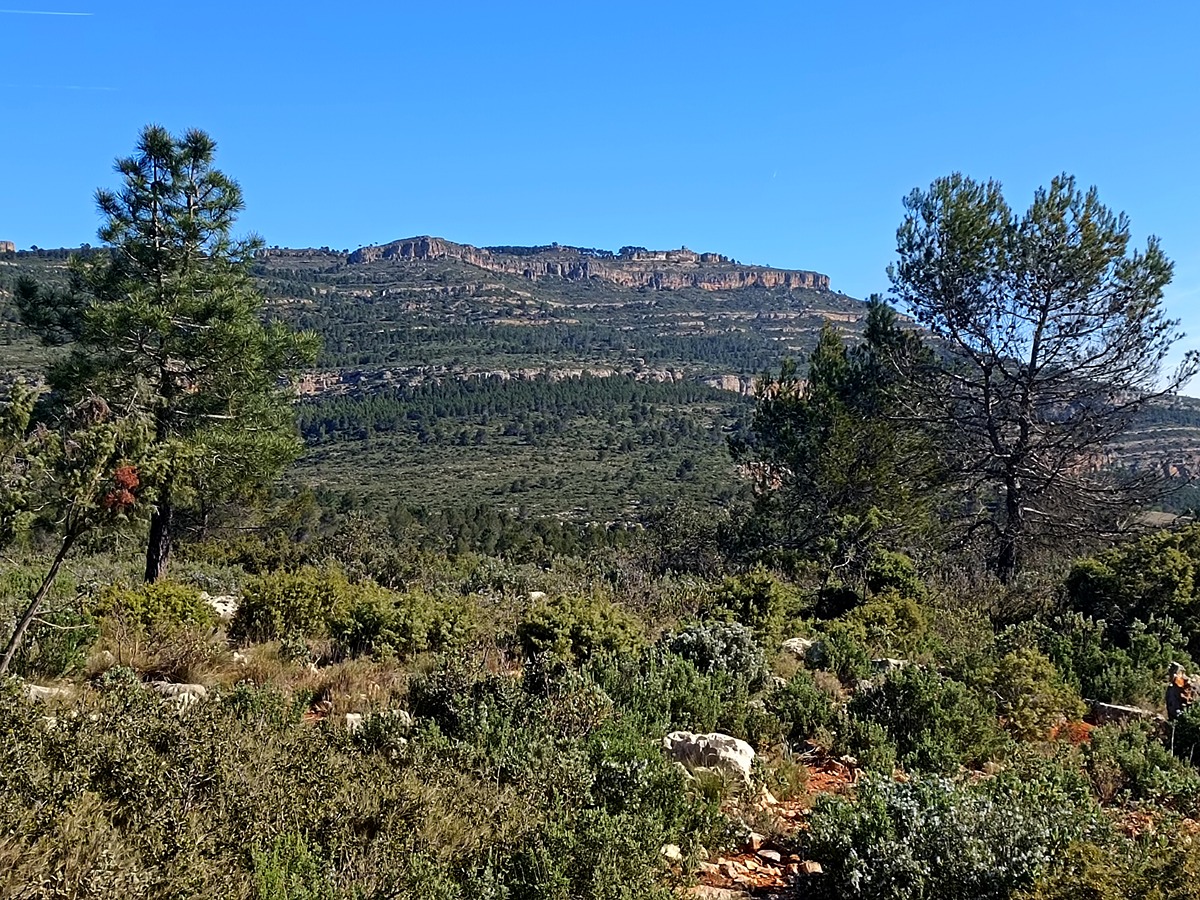
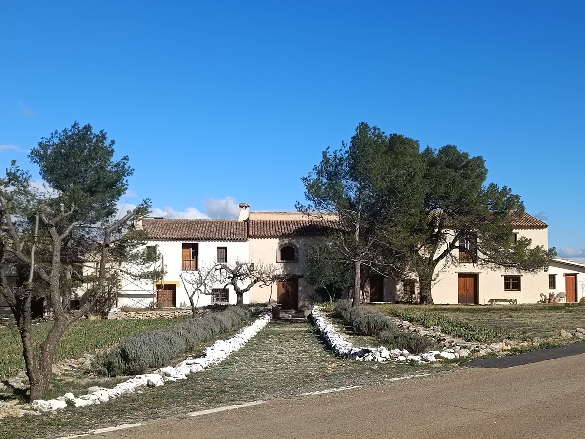
A stage between the emblematic Caroche peak and the houses of Benali, belonging to the town of Enguera, leading through the landscapes of buttes in the most unpopulated area of the province of Valencia.
Trail:
One way (point-to-point)
Main

GR 7 COMUNITAT VALENCIANA. FREDES - EL PINÓS/PINOSO
Promoter: Generalitat Valenciana
Certification status: See stages
Reference municipality: Pobla de Benifassà (La)
Length: 586,60 km
Estimated walking time: 180:35:00
Elevation gain: 17.635 m
Elevation loss: 18.585 m
(0)
Previos stage
GR 7 E42 CORTES DE PALLÁS - COLLADO CAROCHE
Promoter: Generalitat Valenciana
Certification status: Positive quality control
Etapa número: 42
Reference municipality: Cortes de Pallás
Length: 31,00 km
Estimated walking time: 09:25:00
Elevation gain: 1.030 m
Elevation loss: 440 m
(0)
Next stage
GR 7 E44 CASAS DE BENALI - VALLADA
Promoter: Generalitat Valenciana
Certification status: Positive quality control
Etapa número: 44
Reference municipality: Enguera
Length: 28,20 km
Estimated walking time: 08:20:00
Elevation gain: 465 m
Elevation loss: 900 m
(0)
Other trails connecting with this trail
PR-CV 206 DEL PLANIL A LA CASA ALAMBIN
Promoter: Asociación Macizo del Caroig
Certification status: Conditioned quality control
Reference municipality: Quesa
Length: 7,00 km
Estimated walking time: 01:35:00
Elevation gain: 45 m
Elevation loss: 155 m
(0)
GR 332 E03 GR 332 E03 BICORP - PICO DEL CAROCHE
Promoter: Mancomunitat de la Canal de Navarrés
Certification status: Positive quality control
Etapa número: 3
Reference municipality: Bicorp
Length: 19,20 km
Estimated walking time: 06:25:00
Elevation gain: 1.115 m
Elevation loss: 290 m
(1)

PR-CV 446 PICO CAROCHE
Promoter: Ayuntamiento de Teresa de Cofrentes
Certification status: Negative quality control
Reference municipality: Teresa de Cofrentes
Length: 18,10 km
Estimated walking time: 04:40:00
Elevation gain: 750 m
Elevation loss: 165 m
(0)