
GR 7 E42 CORTES DE PALLÁS - COLLADO CAROCHE
Promoter: Generalitat Valenciana
Certification status: Positive quality control
0 reviews
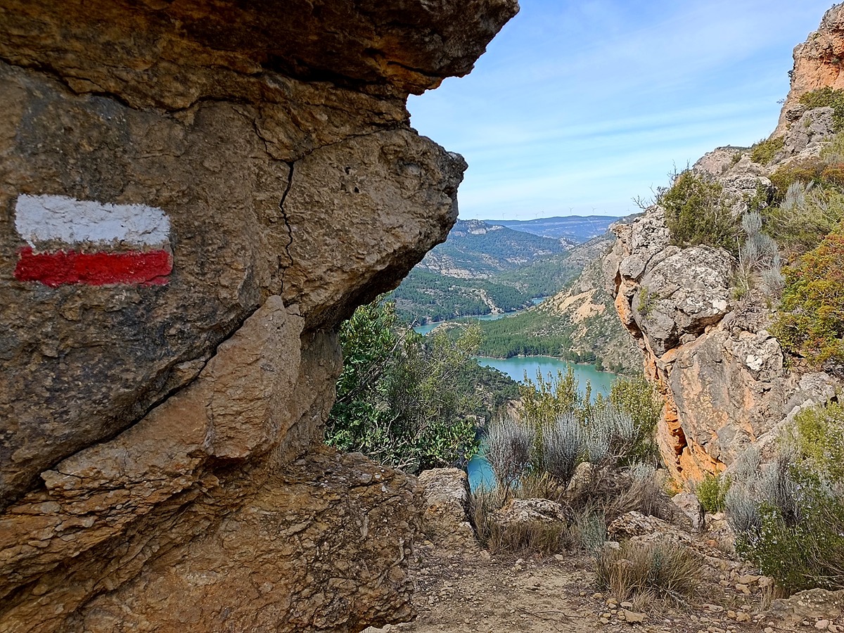
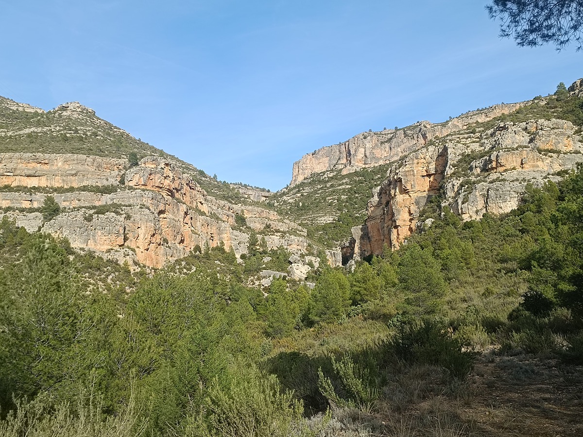
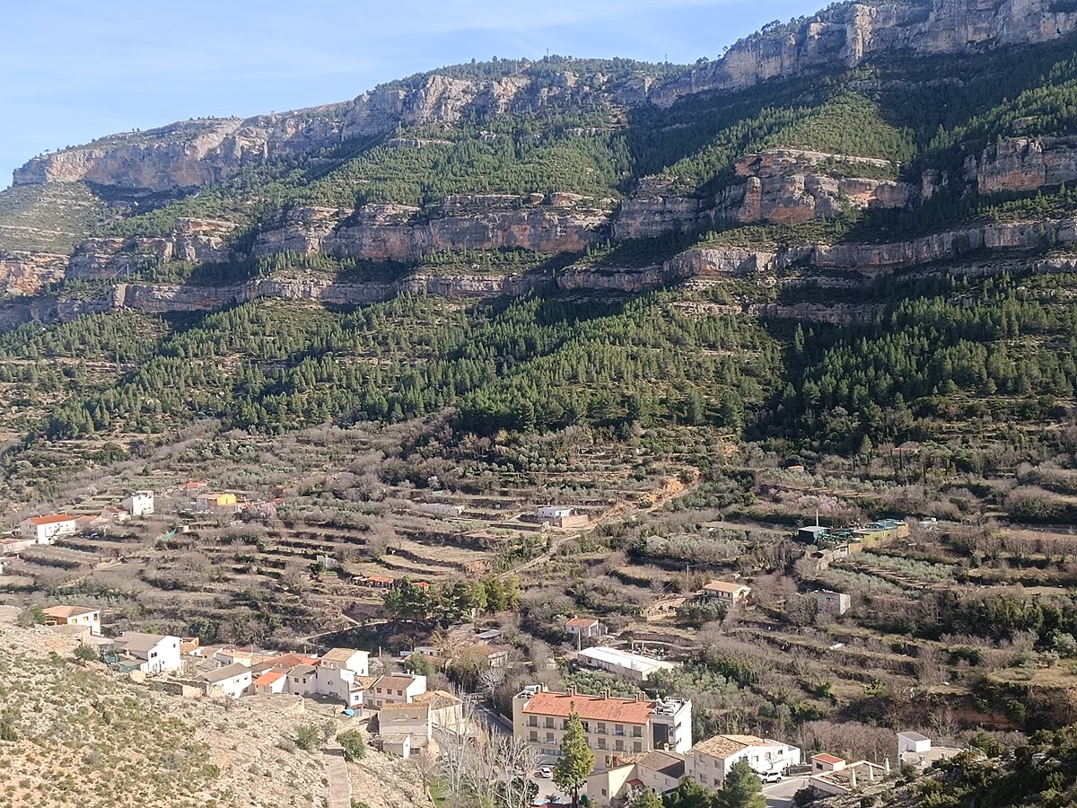
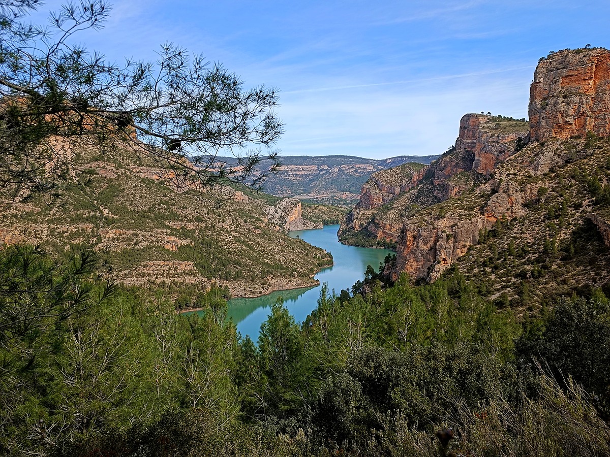
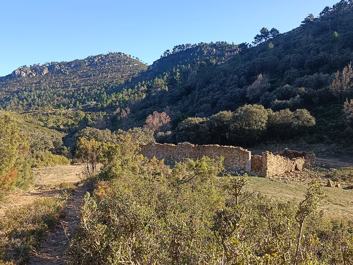
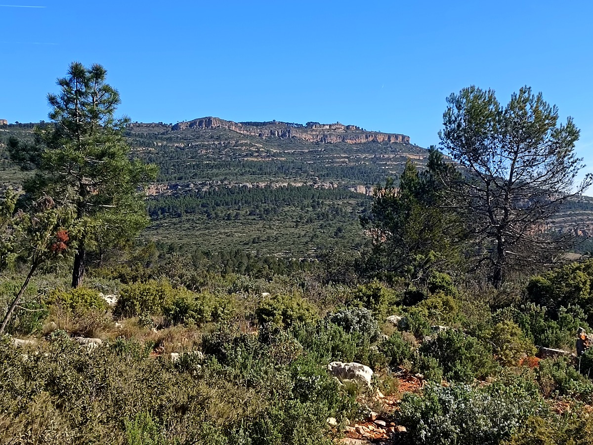
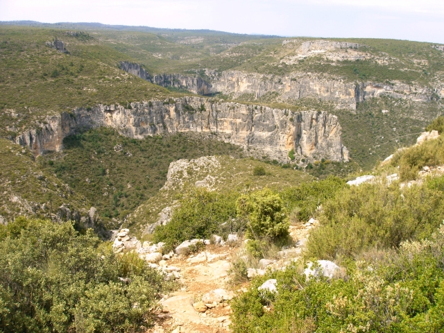
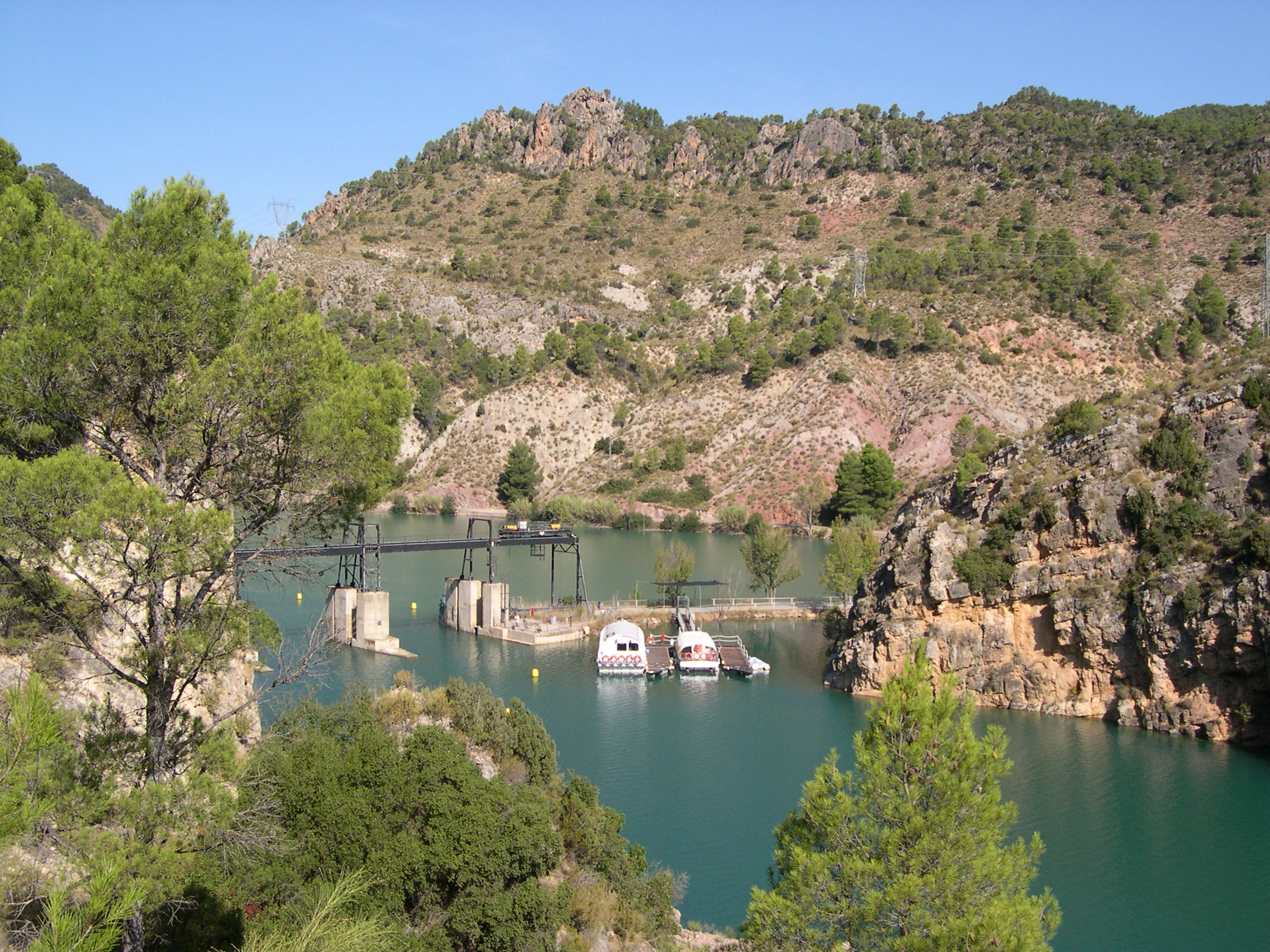
A stage between Cortes de Pallás and the Caroche pass, which in its initial section runs through the spectacular belts of the muela de Cortes next to the river Júcar. It then passes through the beautiful valley of Sácaras to finish at the col of the emblematic Caroche peak.
Trail:
One way (point-to-point)
Main

GR 7 COMUNITAT VALENCIANA. FREDES - EL PINÓS/PINOSO
Promoter: Generalitat Valenciana
Certification status: See stages
Reference municipality: Pobla de Benifassà (La)
Length: 586,60 km
Estimated walking time: 180:35:00
Elevation gain: 17.635 m
Elevation loss: 18.585 m
(0)
Previos stage
GR 7 E41 CAMPAMENTO TABARLA - CORTES DE PALLÁS
Promoter: Generalitat Valenciana
Certification status: temporary cancellation
Etapa número: 41
Reference municipality: Yátova
Length: 26,40 km
Estimated walking time: 08:50:00
Elevation gain: 1.035 m
Elevation loss: 1.090 m
(0)
Next stage
GR 7 E43 COLLADO CAROCHE - CASAS DE BENALI
Promoter: Generalitat Valenciana
Certification status: Positive quality control
Etapa número: 43
Reference municipality: Teresa de Cofrentes
Length: 26,50 km
Estimated walking time: 08:15:00
Elevation gain: 680 m
Elevation loss: 970 m
(0)
Other trails connecting with this trail
SL-CV 13 CORTES DE PALLÁS - SENDA DE LA CORTADA
Promoter: Centre Excursionista de València
Certification status: No quality controls
Reference municipality: Cortes de Pallás
Length: 9,30 km
Estimated walking time: 02:45:00
(0)

PR-CV 252 RUTA DEL FRANCHO
Promoter: Ayuntamiento de Cortes de Pallás
Certification status: Negative quality control
Reference municipality: Cortes de Pallás
Length: 10,60 km
Estimated walking time: 03:25:00
Elevation gain: 430 m
Elevation loss: 305 m
(0)
PR-CV 381 ALTO DE ALCOLA
Promoter: Ayuntamiento de Cofrentes
Certification status: No quality controls
Reference municipality: Cofrentes
Length: 10,30 km
Estimated walking time: 03:40:00
Elevation gain: 565 m
Elevation loss: 420 m
(0)