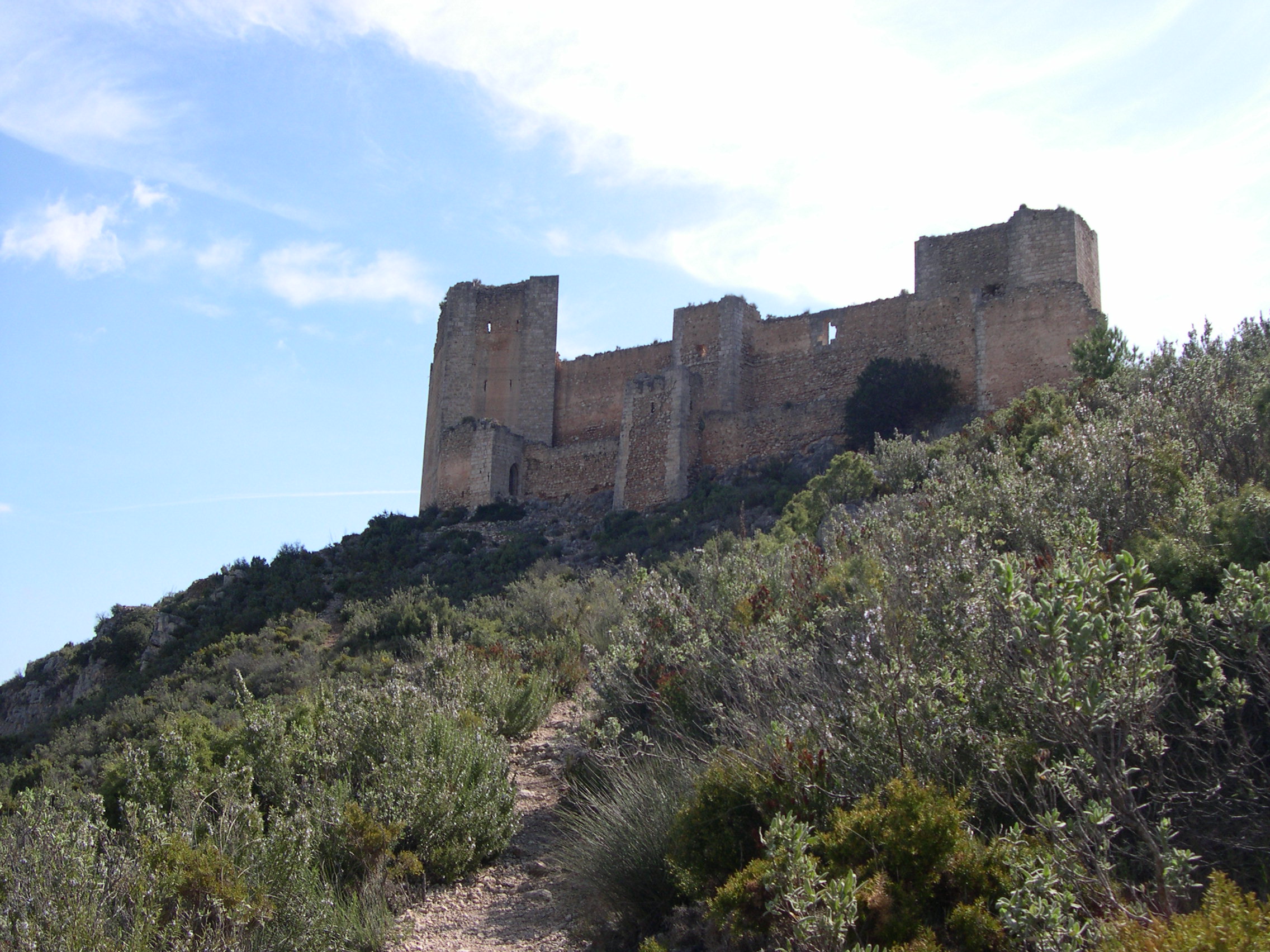
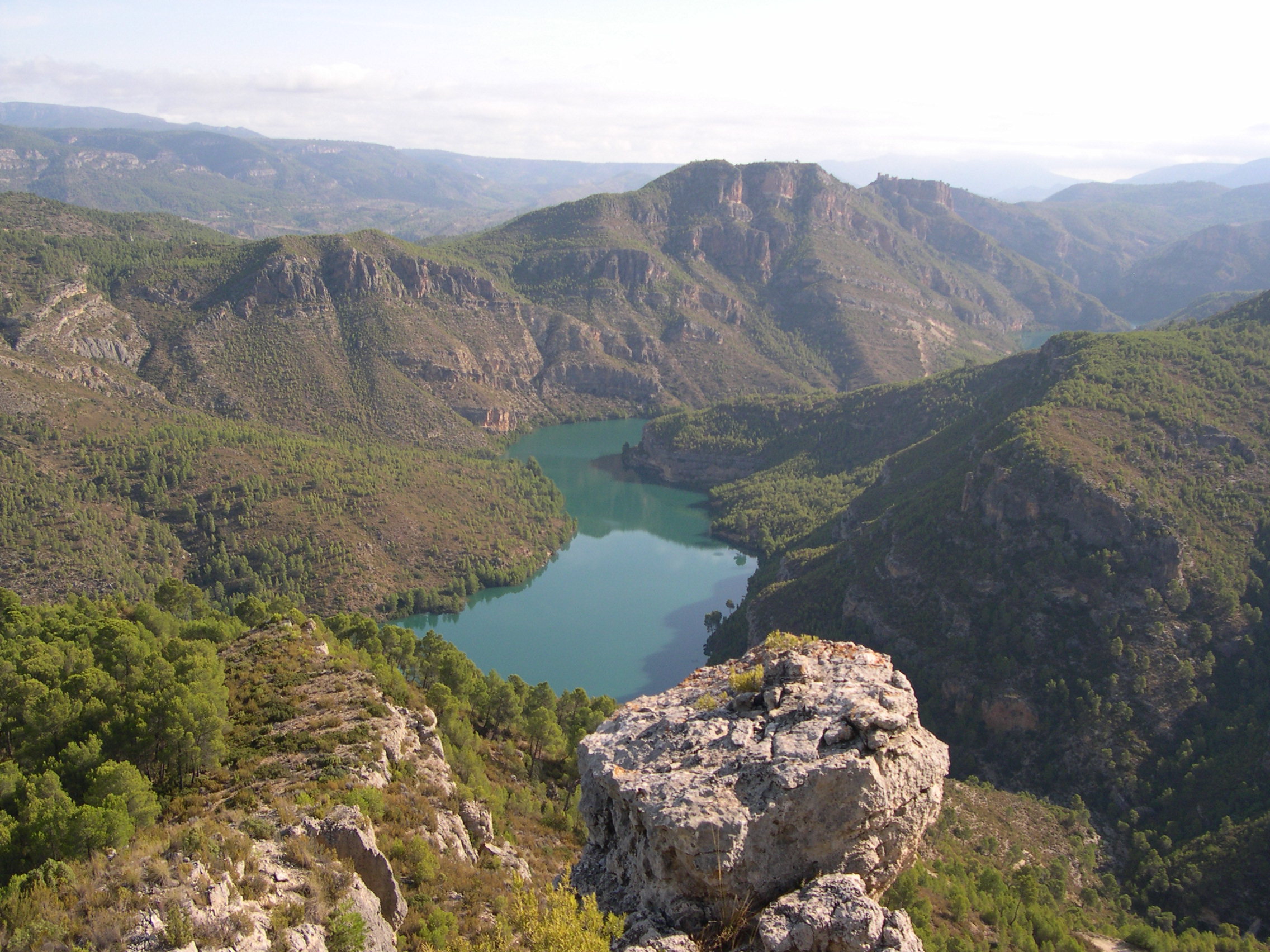
PR-CV 381 ALTO DE ALCOLA
Promoter: Ayuntamiento de Cofrentes
Certification status: No quality controls
There is no proof of quality control on the record of this trail in the last years. For this reason, it is unknown whether it complies with the optimal signage and maintenance conditions for hikers to take the trail following these signs exclusively.
Hikers have to take into consideration that the information about the signage and maintenance of the trails for which the promoter entity is responsible might not be up to date anymore, since it refers to its state on the date of its approval. Furthermore, mountain sports entail risks associated with the activity itself and the environment where they take place, for which any person is fully liable. For this reason, hikes need to be planned properly and adequate training, equipment and sensible use of the trails are required.
Alternative routes and routes leading to nearby points of interest

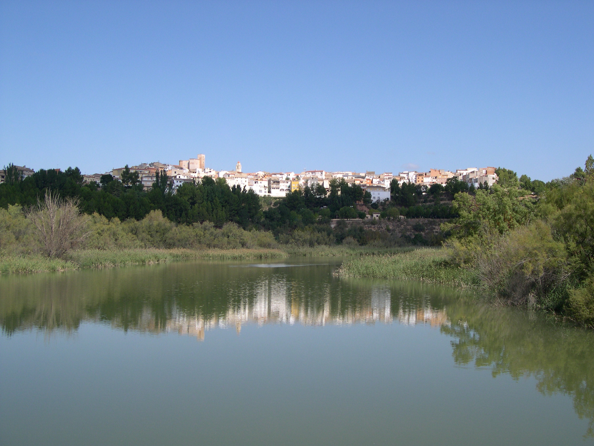
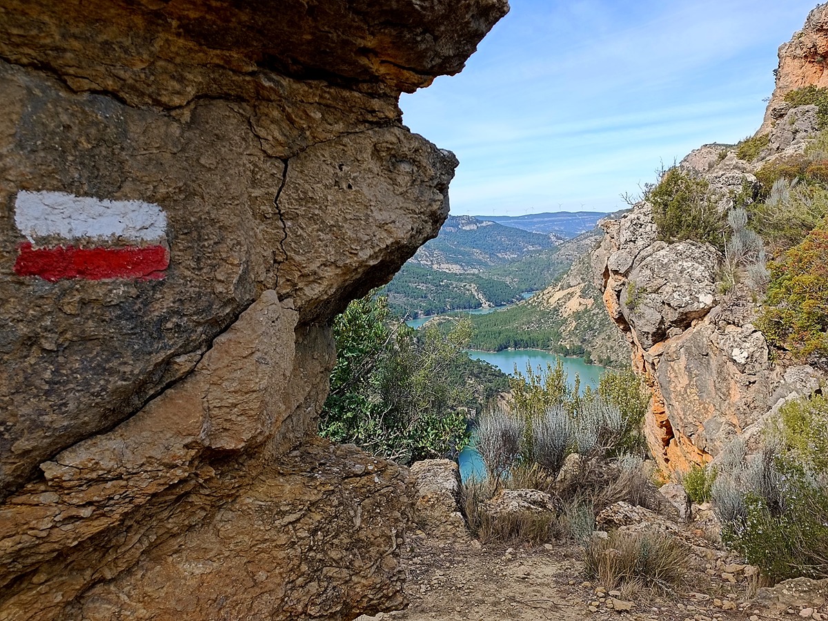
PR-CV 381.1 VARIANTE POR EL MONTE DE ALCOLA
Promoter: Ayuntamiento de Cofrentes
Certification status: No quality controls
Other trails connecting with this trail
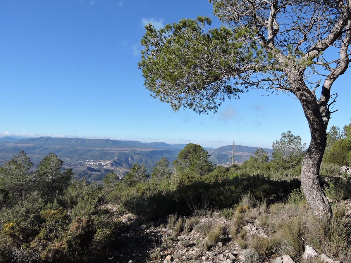
GR 7 E42 CORTES DE PALLÁS - COLLADO CAROCHE
Promoter: Generalitat Valenciana
Certification status: Positive quality control
Etapa número: 42

GR 7 COMUNITAT VALENCIANA. FREDES - EL PINÓS/PINOSO
Promoter: Generalitat Valenciana
Certification status: See stages
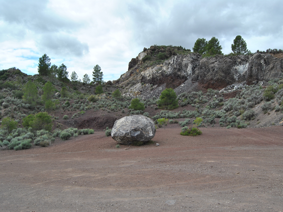
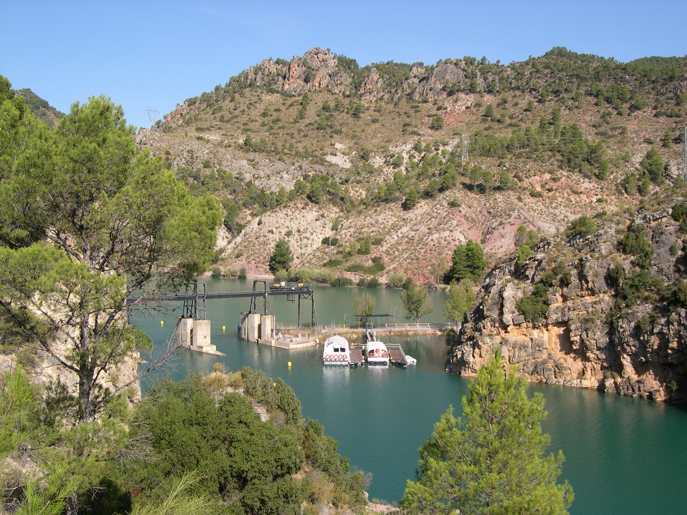
PR-CV 379 RUTA VOLCÁNICA
Promoter: Ayuntamiento de Cofrentes
Certification status: Conditioned quality control
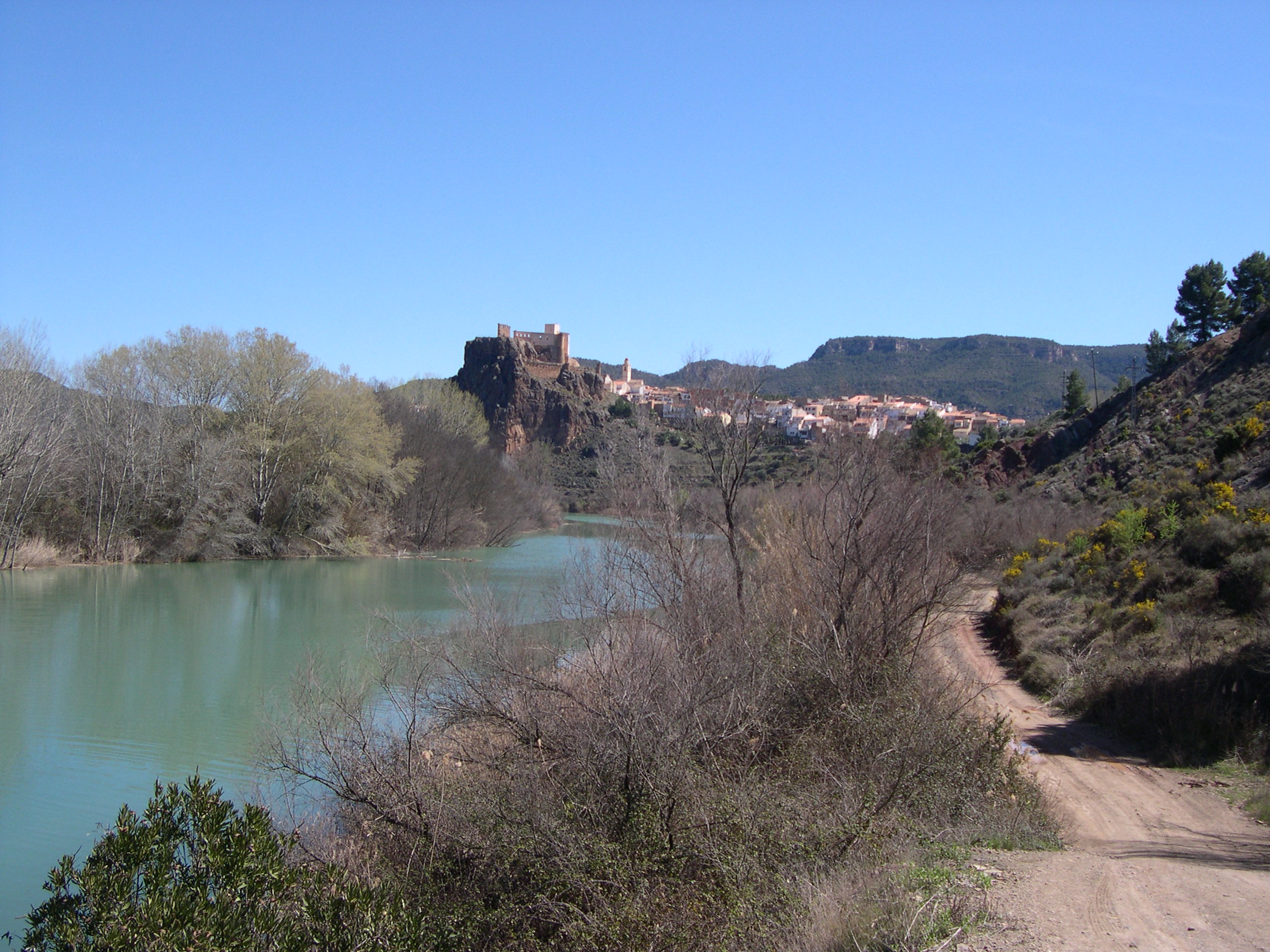
PR-CV 380.1 VARIANTE POR BALNEARIO DE HERVIDEROS
Promoter: Ayuntamiento de Cofrentes
Certification status: No quality controls