Rate this trail

PR-CV 380 RIO CABRIEL

Promoter: Ayuntamiento de Cofrentes

Certification status: No quality controls

0 reviews

There is no proof of quality control on the record of this trail in the last years. For this reason, it is unknown whether it complies with the optimal signage and maintenance conditions for hikers to take the trail following these signs exclusively.
Hikers have to take into consideration that the information about the signage and maintenance of the trails for which the promoter entity is responsible might not be up to date anymore, since it refers to its state on the date of its approval. Furthermore, mountain sports entail risks associated with the activity itself and the environment where they take place, for which any person is fully liable. For this reason, hikes need to be planned properly and adequate training, equipment and sensible use of the trails are required.

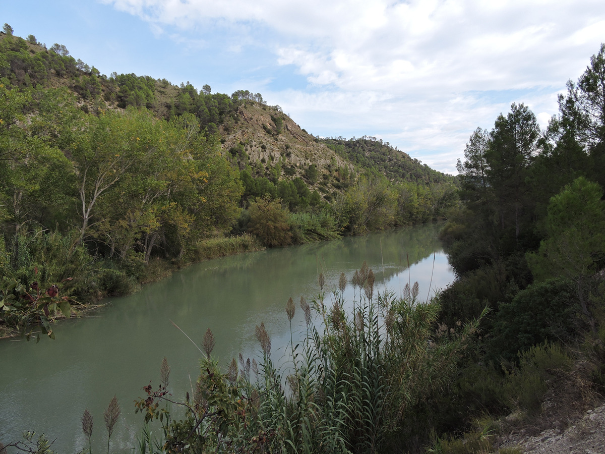
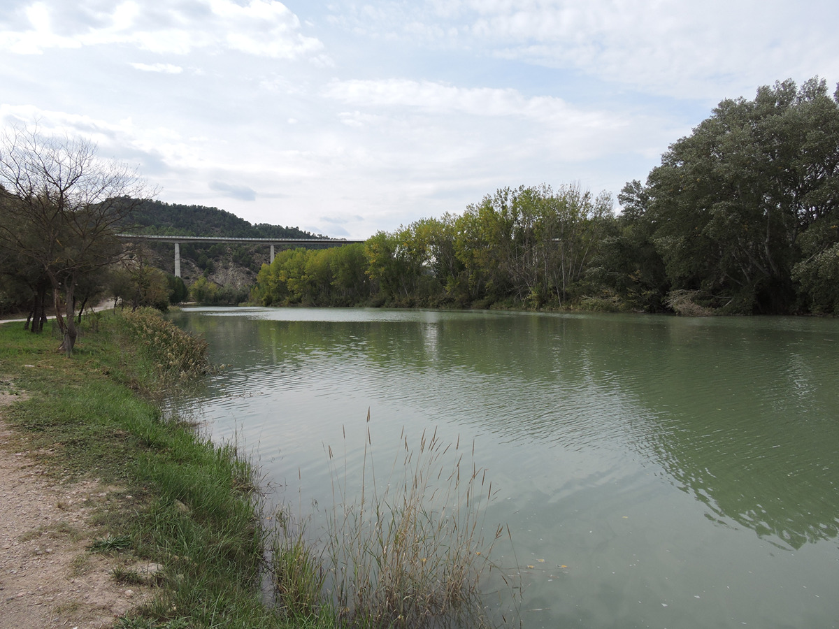
This trail leads to one of the most important hydrographic points in Comunitat Valenciana: the final stretch of the Cabriel River and its confluence with the Xúquer River in an area perfectly suitable for recreation next to the river of a high ecological value.

Trail:
Loop
Technical data:
Length:
10,50 km
Estimated walking time:
02:20:00
Elevation gain:
125 m
Elevation loss:
125 m
MIDE ratings:
Level of natural risks:
1
Navigation on the trail:
2
Hiking difficulty:
2
Fitness level needed:
2

More information on Montaña Segura

Difficulty rating according to FEDME:
Unknown
Starting point:
Interest Tags:
Trail suitable for Nordic walking
Useful information:
Date of certification:
15-11-2010
Date of the act of registration in the Public Register:
20-10-2015
Reference municipality:
District:
Province:
Valencia/València
Cartography IGN MTN25:
0745-3

Downloadable from the Catalogue of the IGN Map Library

See other trails of this promoter:
Protected Natural Spaces:

We advise you to look up the regulations and/or authorisations for using the trails in these conservation areas on the website of the Conselleria de Medio Ambiente, Agua, Infraestructuras y Territorio

  • Sierra de Martés - Muela de Cortes (SPAB - Special Protection Area for Birds)
  • Sierras de Martés y el Ave (SAC - Special Area of Conservation)
  • Valle de Ayora y sierra del Boquerón (SAC - Special Area of Conservation)
Key points of the route:

Fuente San Antón (spring) - Cabriel recreation area - Barranco del Pilón (ravine) - Barranco Hervideros (ravine) - Basta hydroelectric power station - Casas de Alcance (old country house) - Puente de Hierro (bridge)

Route description (only available in Spanish)

El sendero comienza en la Plaza de España, frente a la Oficina de Turismo, donde seguiremos hacia la Calle Vereda bajando junto al Río Cabriel hasta llegar a la Fuente San Antón, desde donde parte la variante del sendero PR-CV 380.1 hacia el Balneario de los Hervideros.
Descendemos rápidamente hasta la orilla del Cabriel junto al que caminaremos durante la mayor
parte de la ruta. En unos pocos minutos alcanzamos el Área Recreativa del Cabriel.
Seguimos por el camino, protegidos por un denso bosque de ribera dejando a nuestra izquierda el Barranco Hervideros, donde se une la variante del sendero anteriormente citada siguiendo recto, donde pronto abandonaremos el camino para tomar un sendero en sentido ascendente que nos llevará a la pista asfaltada que nos conduce a la Central Hidroeléctrica de Basta.
Cruzaremos el puente de la central, donde pasaremos por la pedanía de Casas de Alcance.
Retomamos el camino junto al río, por la margen izquierda, acompañados de un magnífivo bosque de ribera, hasta llegar al Puente de Hierro sobre el embalse del Embarcadero.
Una vez cruzado el puente comenzamos el ascenso al casco antiguo de Cofrentes, hasta llegar a nuestro punto de partida.
 

Downloads:

Beware! Navigation devices may fail, batteries may run out of power and devices may break down. Do not use only electronic means to track your activities in the mountains; they must be used as a complement to the map and compass. Get some proper training and enjoy the mountains.

Alternative routes and routes leading to nearby points of interest

Other trails connecting with this trail