Rate this trail

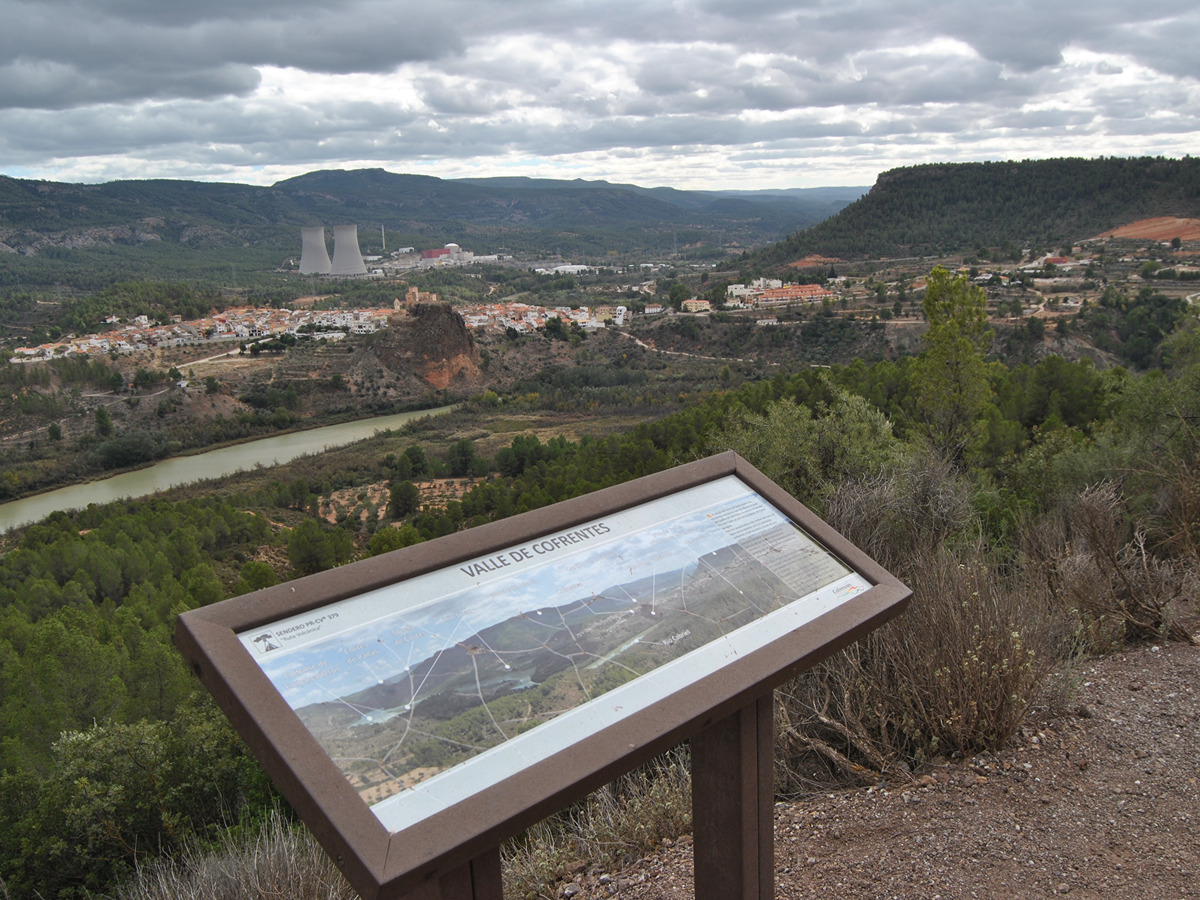
PR-CV 379 RUTA VOLCÁNICA

Promoter: Ayuntamiento de Cofrentes

Certification status: Conditioned quality control

0 reviews

Following the inspection carried out by trail technicians, this trail has been declared of "limited adequacy" as a result of the faults detected in the signage. These include inadequate horizontal signs (paint markers) and/or vertical ones (trailheads and information boards) or lacking direction markers that do not provide sufficient information to properly follow the route. The builder of this trail has been informed of the situation.
For safety reasons and during maintenance work, it is advised to be extremely careful while taking this route. Furthermore, mountain sports entail risks associated with the activity itself and the environment where they take place, for which any person is fully liable. For this reason, hikes need to be planned properly and adequate training, equipment and sensible use of the trails are required.

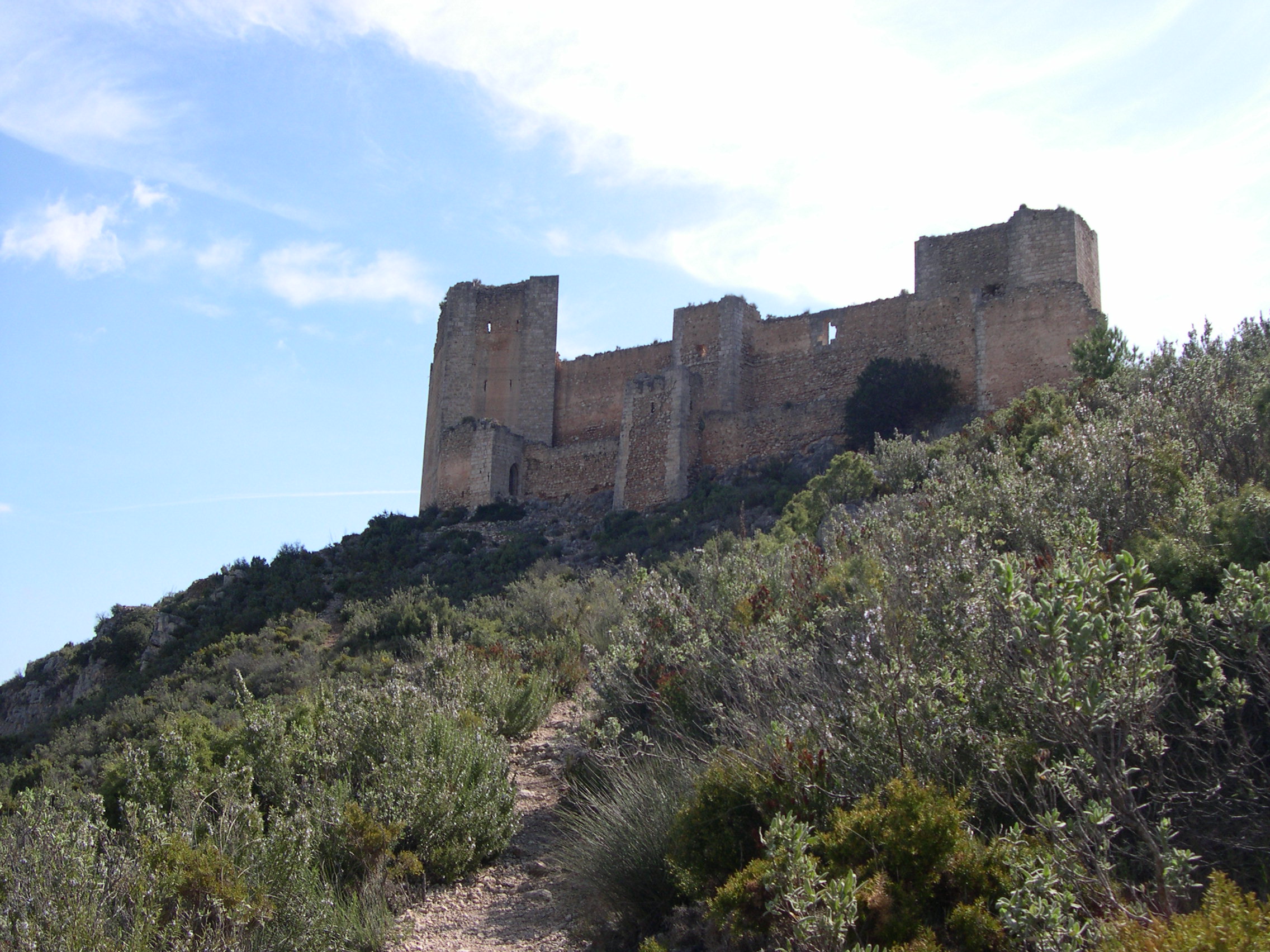
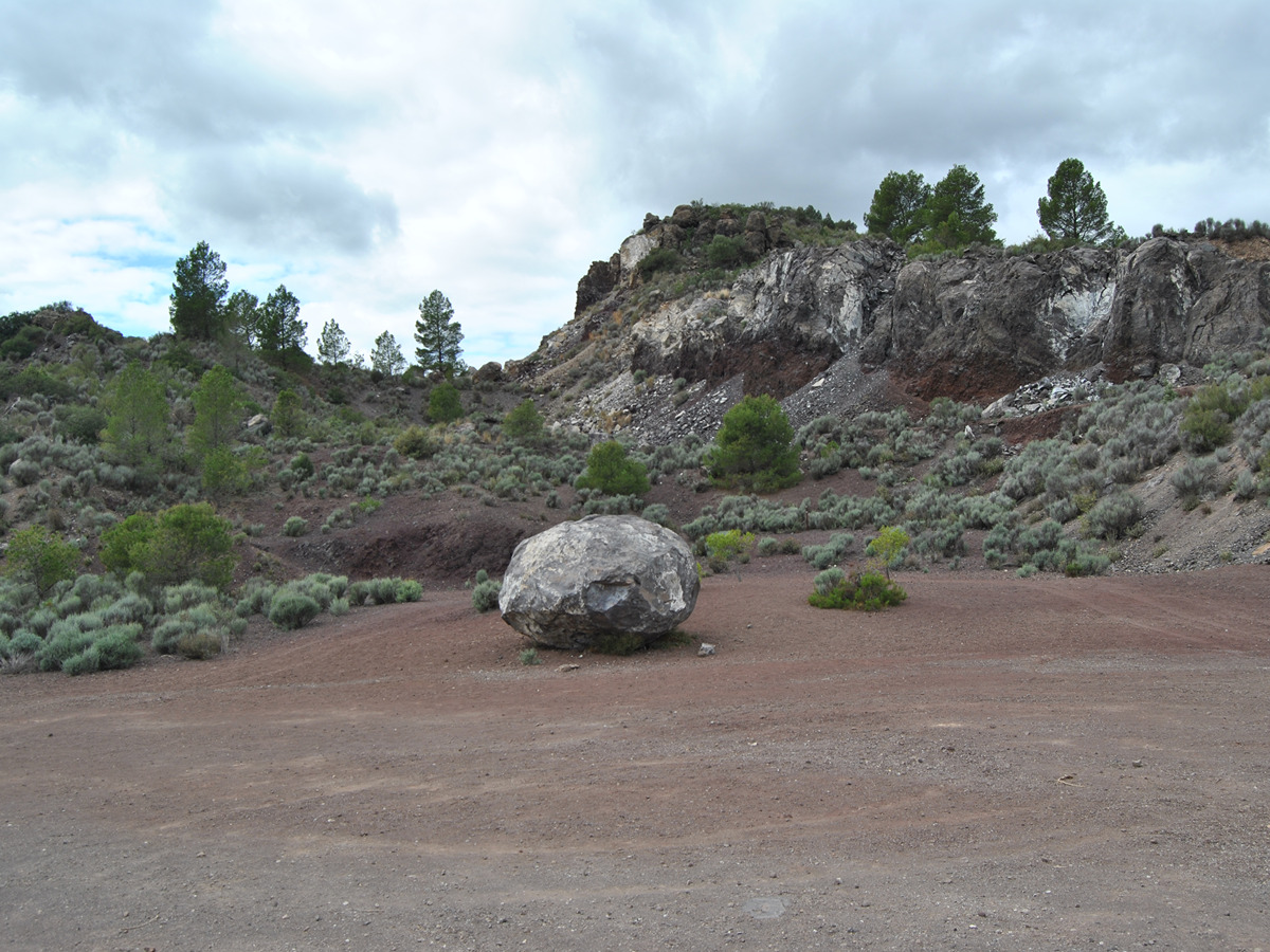
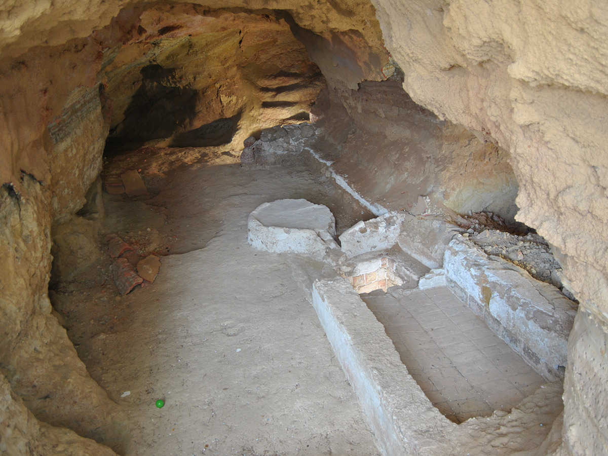
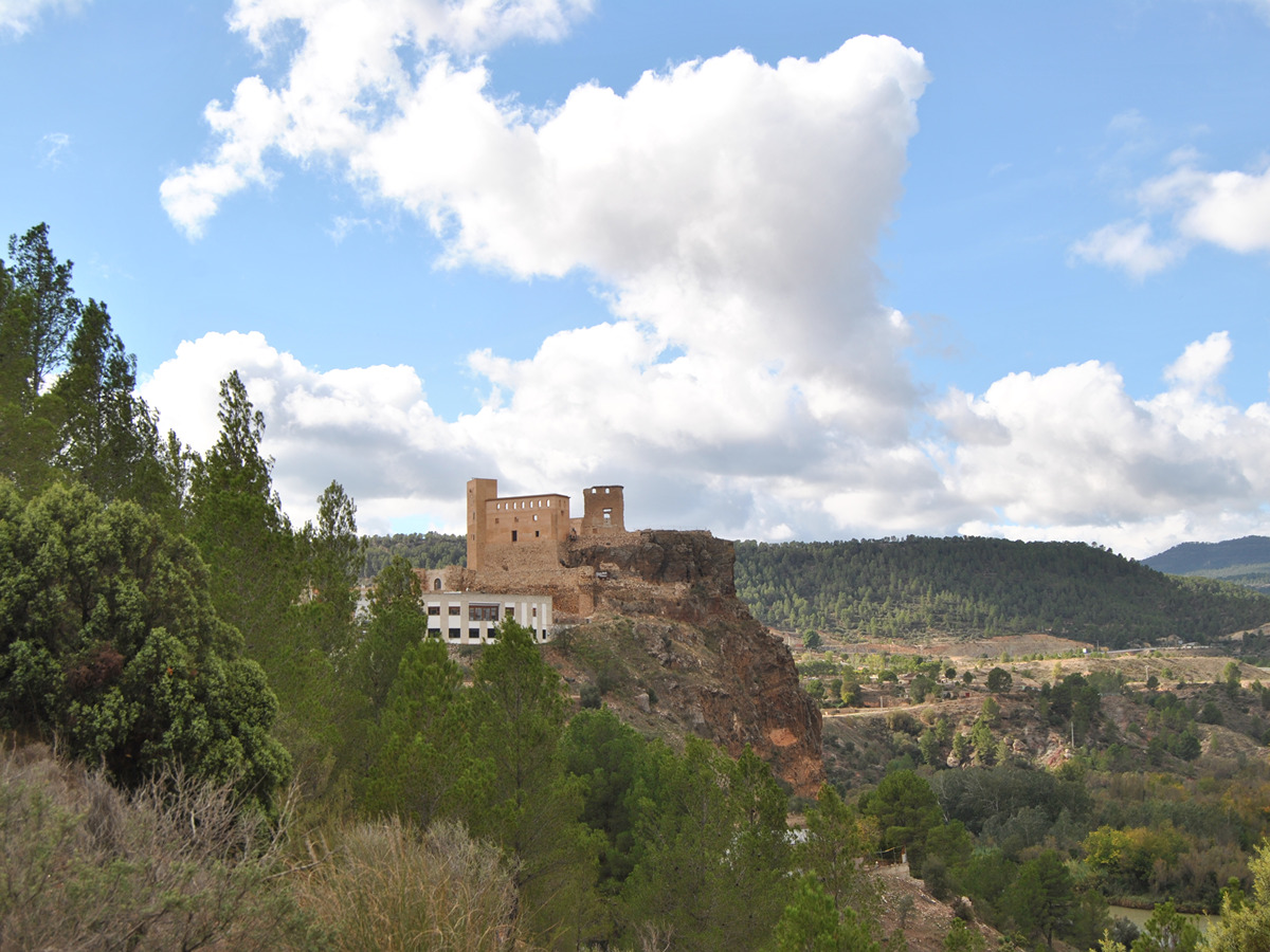
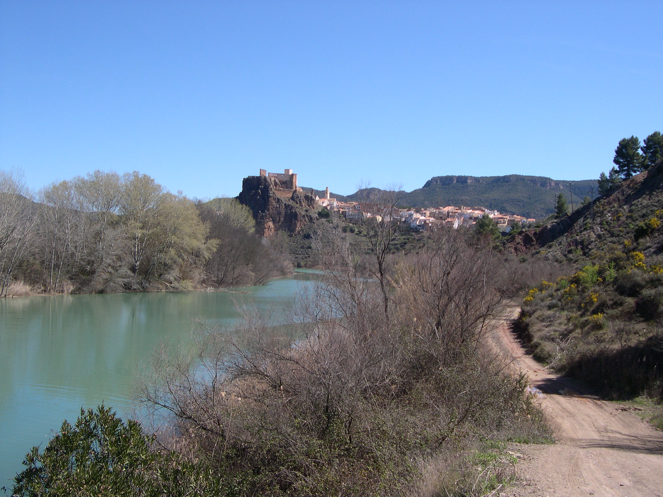
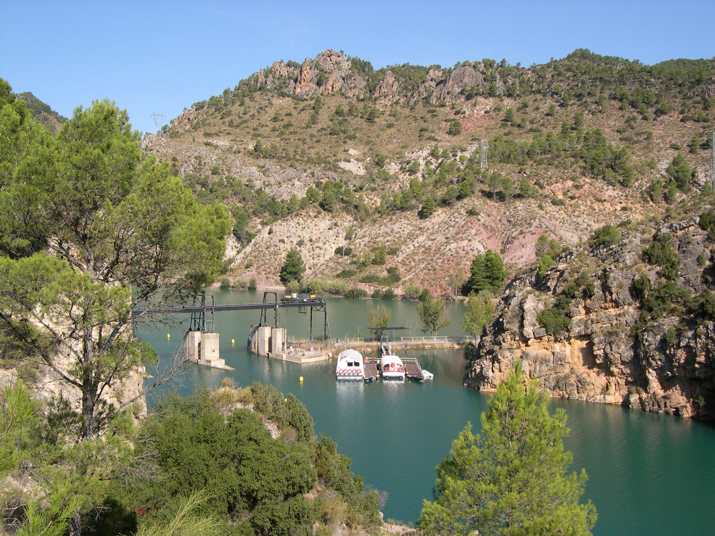
An interesting route that will allow you to visit the town centre of Cofrentes, as well as the Embarcaderos reservoir, passing through the Santa Ana cave, the Iron Bridge on the river Cabriel and reaching the volcano of the Agra hill with its characteristic volcanic bomb.

Trail:
One way (point-to-point)
Technical data:
Length:
3,90 km
Estimated walking time:
01:15:00
Elevation gain:
190 m
Elevation loss:
90 m
MIDE ratings:
Level of natural risks:
1
Navigation on the trail:
2
Hiking difficulty:
2
Fitness level needed:
2

More information on Montaña Segura

Difficulty rating according to FEDME:
Unknown
Interest Tags:
Trail with geological interest

Useful information:
Date of certification:
15-11-2010
Date of the last Quality Control:
october de 2023
Reference municipality:
District:
Province:
Valencia/València
Cartography IGN MTN25:
0745-3

Downloadable from the Catalogue of the IGN Map Library

See other trails of this promoter:
Protected Natural Spaces:

We advise you to look up the regulations and/or authorisations for using the trails in these conservation areas on the website of the Conselleria de Medio Ambiente, Agua, Infraestructuras y Territorio

  • Sierra de Martés - Muela de Cortes (SPAB - Special Protection Area for Birds)
  • Valle de Ayora y sierra del Boquerón (SAC - Special Area of Conservation)
  • Valle de Ayora y Sierra del Boquerón (SIC - Site of Community Interest)
Key points of the route:

Cofrentes - Carretera N-330b (road) - Puente de hierro (Iron bridge) (connection PR-CV 380 and PR-CV 382) - Camino del Horcajo (path) - Quarry - Volcanic pump

Route description (only available in Spanish)

Desde la Oficina de turismo de Cofrentes, frente al castillo, seguiremos por la calle Progreso para pasar por la plaza del Hermano Pastor, calle del Calvario y entrar en la calle Santa Ana a la izquierda. Al llegar al aparcamiento situado en esa calle giraremos a la derecha para buscar una escalera que accede a un sendero de bajada a la carretera nacional. Antes de llegar a la escalerilla podremos visitar la cueva de Santa Ana situada a la derecha de la calle. Siguiendo la carretera y tras cruzar el puente de hierro del río Cabriel, veremos un panel y un poste del sendero PR-CV 380, estando nuestra entrada un poco más arriba. Ya en la sierra seguiremos un antiguo camino marcado por antiguos muros hasta alcanzar el Camino del Horcajo, pista semi-asfaltada que en dirección de ascenso nos llevará al volcán de Cofrentes o del cerro de Agras. Justo al final de camino, hay un gran rellano con una bomba volcánica característica.

Downloads:

Beware! Navigation devices may fail, batteries may run out of power and devices may break down. Do not use only electronic means to track your activities in the mountains; they must be used as a complement to the map and compass. Get some proper training and enjoy the mountains.

Other trails connecting with this trail