
GR 332 E02 GR 332 E02 NAVARRÉS - BICORP
Promoter: Mancomunitat de la Canal de Navarrés
Certification status: Positive quality control
2 reviews
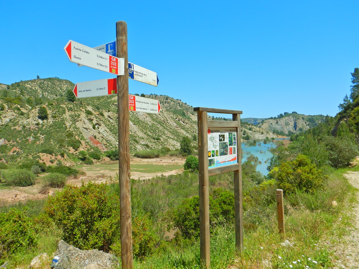
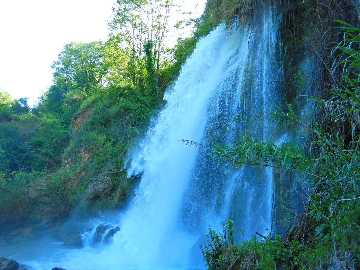
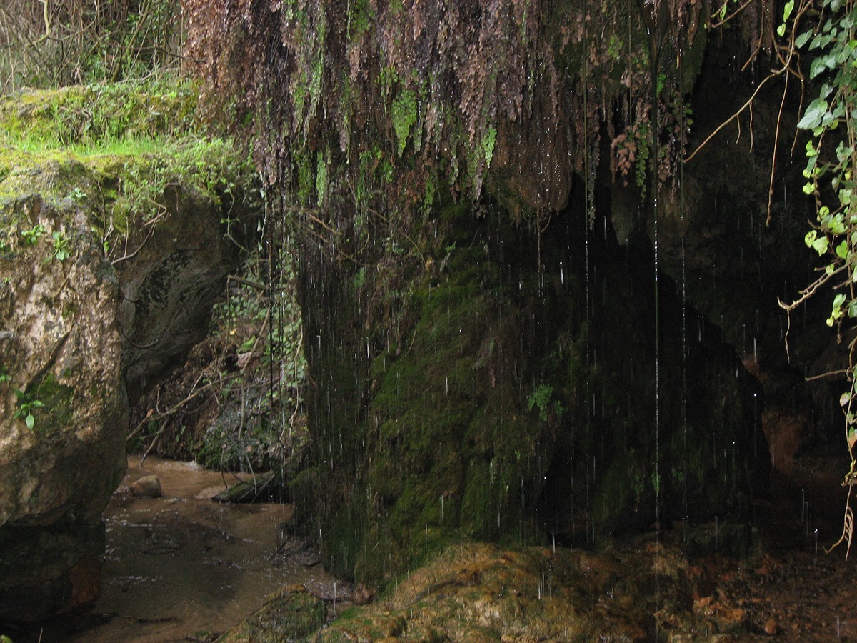
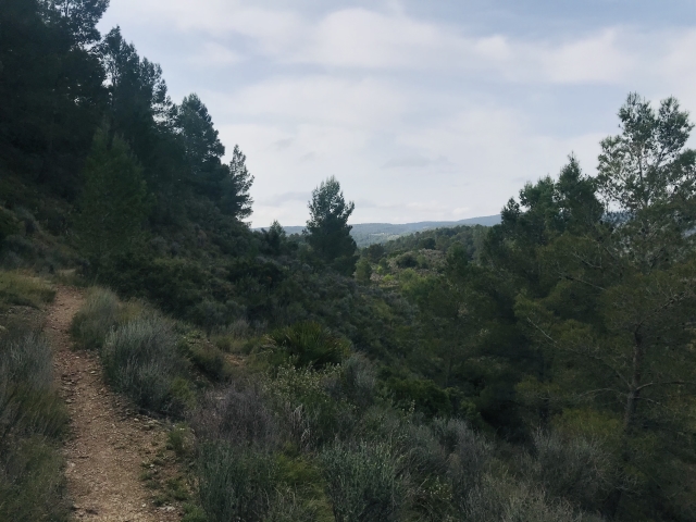
This stage connects three towns in the Canal: from Navarrés to Quesa ending in Bicorp. You will pass through the Local Natural Area of Interest in los Chorradores, the Molino waterfall, the Escalona river and the Barcal ravine, where water is the protagonist, and you will be amazed by the red sandstone formations that you will find along the way.
Trail:
One way (point-to-point)
Main
Reference municipality: Navarrés
Length: 62,60 km
Estimated walking time: 19:35:00
Elevation gain: 2.210 m
Elevation loss: 1.330 m
(1)
Previos stage
GR 332 E01 GR 332 E01 ESTUBENY - NAVARRÉS
Promoter: Mancomunitat de la Canal de Navarrés
Certification status: Positive quality control
Etapa número: 1
Reference municipality: Estubeny
Length: 24,40 km
Estimated walking time: 07:20:00
Elevation gain: 575 m
Elevation loss: 485 m
(0)
Next stage
GR 332 E03 GR 332 E03 BICORP - PICO DEL CAROCHE
Promoter: Mancomunitat de la Canal de Navarrés
Certification status: Positive quality control
Etapa número: 3
Reference municipality: Bicorp
Length: 19,20 km
Estimated walking time: 06:25:00
Elevation gain: 1.115 m
Elevation loss: 290 m
(1)
Other trails connecting with this trail
Reference municipality: Navarrés
Length: 10,30 km
Estimated walking time: 03:10:00
Elevation gain: 275 m
Elevation loss: 275 m
(0)
PR-CV 204 SENDERO DE LOS CHARCOS
Promoter: Ayuntamiento de Quesa
Certification status: No quality controls
Reference municipality: Quesa
Length: 8,30 km
Estimated walking time: 02:45:00
Elevation gain: 335 m
Elevation loss: 275 m
(0)
PR-CV 235 RUTA DE BENEDRIZ
Promoter: Asociación Macizo del Caroig
Certification status: Positive quality control
Reference municipality: Bicorp
Length: 9,90 km
Estimated walking time: 03:20:00
Elevation gain: 425 m
Elevation loss: 425 m
(0)
Reference municipality: Navarrés
Length: 15,90 km
Estimated walking time: 03:40:00
Elevation gain: 245 m
Elevation loss: 245 m
(1)