ES / EN / VA

Rate this trail

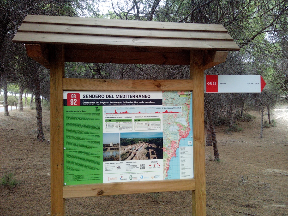
GR 92 E21 GUARDAMAR DEL SEGURA - TORREVIEJA

Promoter: Consorcio para el Desarrollo Económico de la Vega Baja

Certification status: Conditioned quality control

0 reviews

Following the inspection carried out by trail technicians, this trail has been declared of "limited adequacy" as a result of the faults detected in the signage. These include inadequate horizontal signs (paint markers) and/or vertical ones (trailheads and information boards) or lacking direction markers that do not provide sufficient information to properly follow the route. The builder of this trail has been informed of the situation.
For safety reasons and during maintenance work, it is advised to be extremely careful while taking this route. Furthermore, mountain sports entail risks associated with the activity itself and the environment where they take place, for which any person is fully liable. For this reason, hikes need to be planned properly and adequate training, equipment and sensible use of the trails are required.

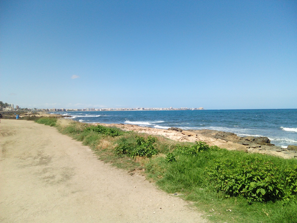
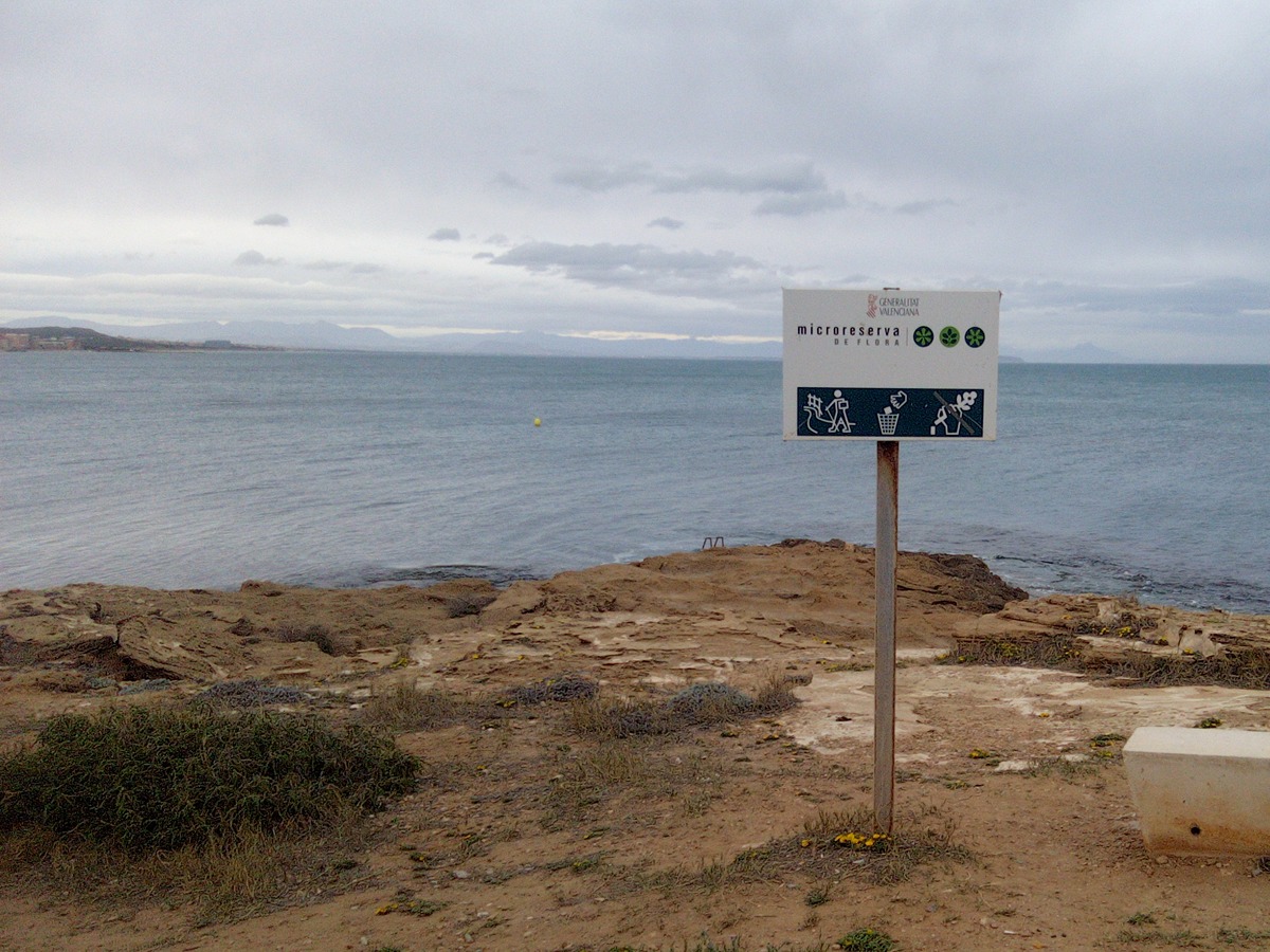
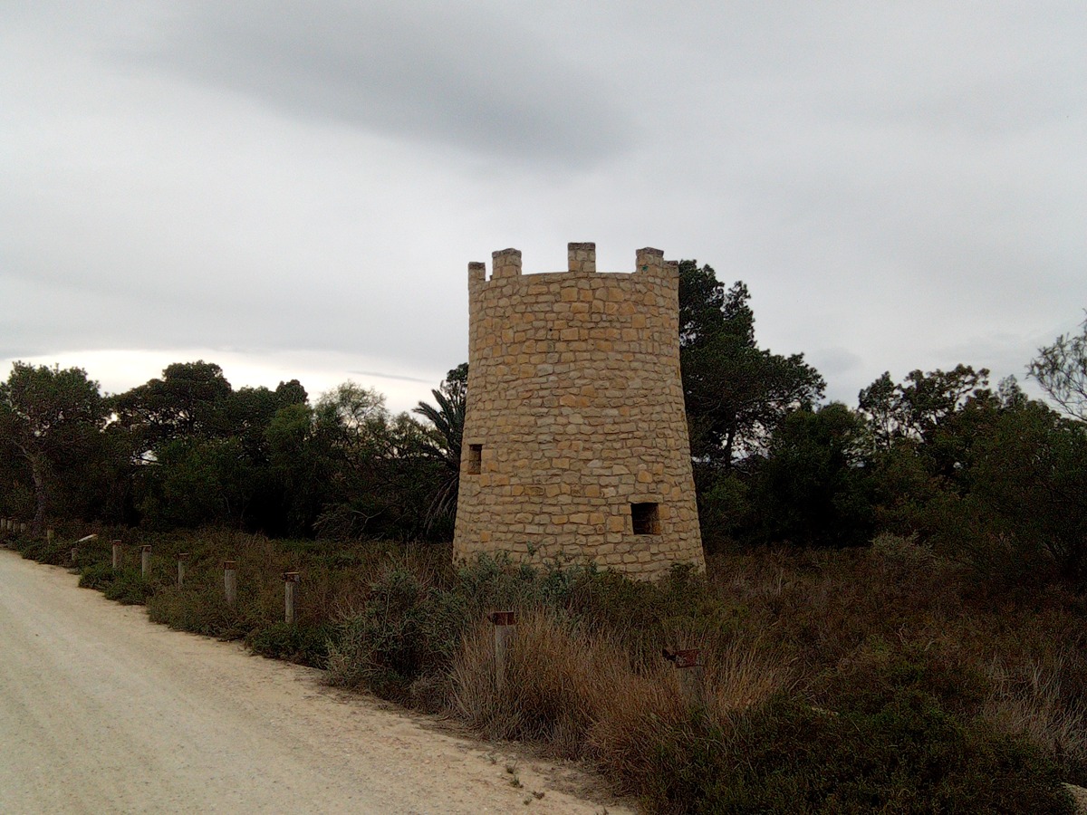
Trail that runs from the dunes of Guardamar along the coast to Torrevieja. On the route we will pass the Segura river channel, the castle of Guardamar, the Guardamar countryside, the Natural Park of the Lagunas de La Mata and Torrevieja, and the fishing port of Torrevieja.

Trail:
One way (point-to-point)
Technical data:
Length:
27,00 km
Estimated walking time:
07:15:00
Elevation gain:
255 m
Elevation loss:
255 m
MIDE ratings:
Level of natural risks:
2
Navigation on the trail:
2
Hiking difficulty:
2
Fitness level needed:
4

More information on Montaña Segura

Difficulty rating according to FEDME:
Unknown
Interest Tags:
Trail with environmental interes
Trail with historical-artistic interest

Useful information:
Date of certification:
27-09-2024
Reference municipality:
Otros municipios por los que transcurre:
Province:
Alicante/Alacant
Cartography IGN MTN25:
0914-2; 0914-3; 0935-1

Downloadable from the Catalogue of the IGN Map Library

See other trails of this promoter:
Protected Natural Spaces:

We advise you to look up the regulations and/or authorisations for using the trails in these conservation areas on the website of the Conselleria de Medio Ambiente, Agua, Infraestructuras y Territorio

  • Cape Cervera-Litoral (SIC - Site of Community Interest)
  • Dunes of Guardamar (SIC - Site of Community Interest)
  • Dunes of Guardamar (Flora Micro-reserve)
  • Lagoons of La Mata and Torrevieja (SIC - Site of Community Interest)
  • Lagoons of La Mata and Torrevieja (SPAB - Special Protection Area for Birds)
  • Lagunas de la Mata y Torrevieja (Natural Park)
  • Water Mill Park (Municipal Natural Site)
Route description (only available in Spanish)

Desde la carretera de acceso a la playa del Rebollo tomamos un cruce con un camino de arena que a la derecha nos llevará directos a la gola del río Segura que cruzaremos tras pasar por debajo de la carretera nacional.

Desde aquí y bordeando un afluente del río, llegaremos al molino de Sant Antoni y poco después a la entrada del camino del Castillo de Guardamar. Este camino bordea todo el castillo, primero dirección sur y luego norte hasta llegar a la puerta principal. Tomaremos el camino para entrar en las dunas de Guardamar. Al final de este giraremos a la derecha para dirigirnos paralelos a la playa hasta el parque Alfonso XIII.

Seguimos por la avenida de Cervantes para salir a la ciclovía situada paralela a la carretera nacional N-332. Siguiendo toda la ciclovía y posteriormente paralelos a la carretera, llegaremos al restaurante El Bosque Animado pasando por debajo de la N-332. Desde este punto, y cruzando los campos de Guardamar, llegaremos al Parque Natural de las Lagunas de La Mata y de Torrevieja, que bordearemos hasta llegar a su entrada principal.

En la rotonda de entrada, veremos un acceso ciclista y peatonal que pasa por debajo de la N-332 hasta llegar a La Mata. Giramos a la derecha para buscar la avda. de los Daneses y llegar a la playa. Siguiendo un paseo de madera recorreremos toda la playa de La Mata, el parque del Molino de Agua, la playa Torrelamata y de nuevo a la población por la playa de Cabo Cervera.

Desde este punto, siguiendo toda la carretera, bordearemos Torrevieja hasta llegar al paseo peatonal de Juan Aparicio y la entrada del puerto pesquero, donde acaba la etapa.

Downloads:

Beware! Navigation devices may fail, batteries may run out of power and devices may break down. Do not use only electronic means to track your activities in the mountains; they must be used as a complement to the map and compass. Get some proper training and enjoy the mountains.