
GR 92 E22 TORREVIEJA - PILAR DE LA HORADADA
Promoter: Consorcio para el Desarrollo Económico de la Vega Baja
Certification status: Valid
0 reviews
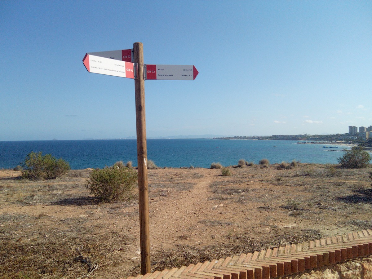
Attention: In accordance with the Signage Manual, and given that the urban sections are not fully marked, you can refer to the graphical route indication on the information panels installed along the trail.
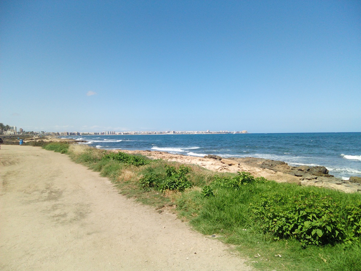
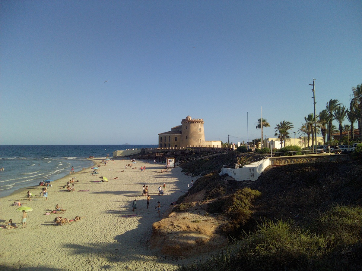
A beautiful trail that runs along the southern coast of the province of Alicante, offering views of the vast Mediterranean Sea, with San Javier and La Manga del Mar Menor visible in the distance. Along the way, you can spot various watchtowers and enjoy some of the coves that line the entire path.
Trail:
One way (point-to-point)
Main

Reference municipality: Vinaròs
(0)
Previos stage
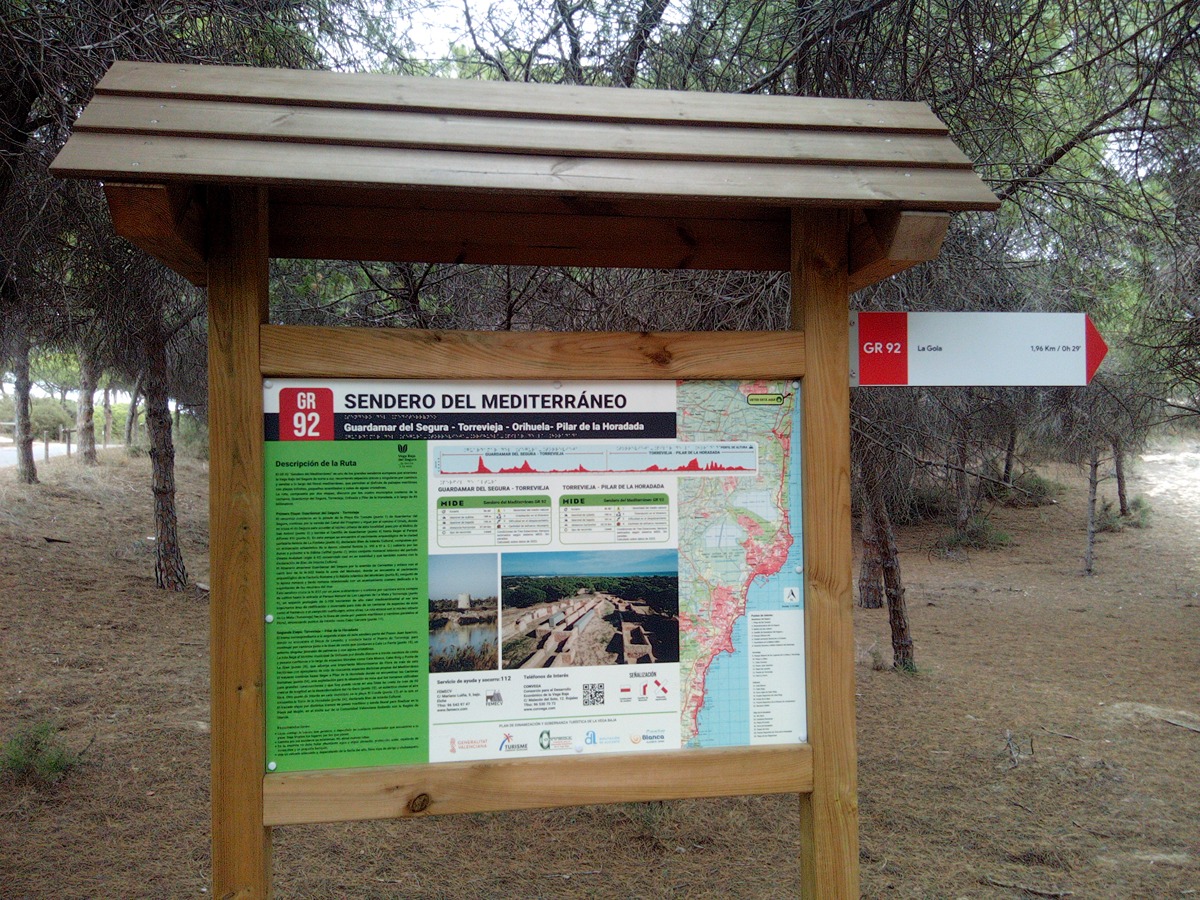
GR 92 E21 GUARDAMAR DEL SEGURA - TORREVIEJA
Promoter: Consorcio para el Desarrollo Económico de la Vega Baja
Certification status: Conditioned quality control
Etapa número: 21
Reference municipality: Guardamar del Segura
Length: 27,00 km
Estimated walking time: 07:15:00
Elevation gain: 255 m
Elevation loss: 255 m
(0)