
PR-CV 124.4 SINARCAS - LAS PALOMAREJAS
Promoter: Ayuntamiento de Sinarcas
Certification status: Positive quality control
1 review
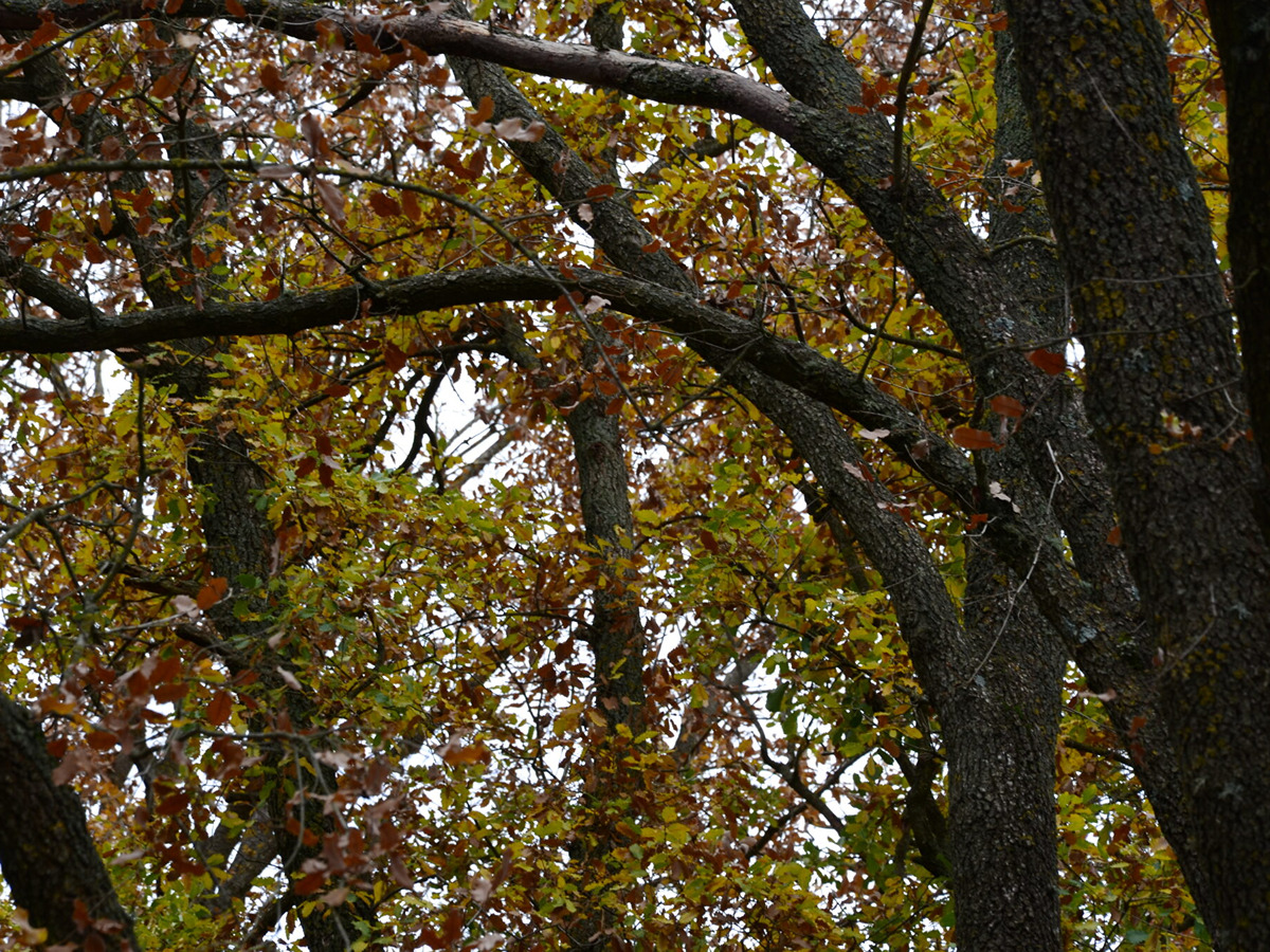
This route takes advantage of the valleys and valleys to cross splendid pine forests on its steep descent towards the bottom of Regajo and the pass through the Palomarejas area, between cliffs and gorges. The ascending trail that leads back to the extensive plain of Sinarcas crosses a shady forest with deciduous species such as Valencian oaks and maples in bright autumn colours.
Trail:
Loop
Other trails connecting with this trail

PR-CV 124.1 SINARCAS - LOS CERROS
Promoter: Ayuntamiento de Sinarcas
Certification status: No quality controls
Reference municipality: Sinarcas
Length: 12,80 km
Estimated walking time: 03:30:00
Elevation gain: 310 m
Elevation loss: 310 m
(2)
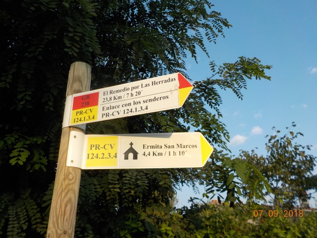
PR-CV 124.2 SINARCAS - LA TOBA - LAS GRAJAS
Promoter: Ayuntamiento de Sinarcas
Certification status: No quality controls
Reference municipality: Sinarcas
Length: 15,90 km
Estimated walking time: 04:35:00
Elevation gain: 280 m
Elevation loss: 280 m
(1)
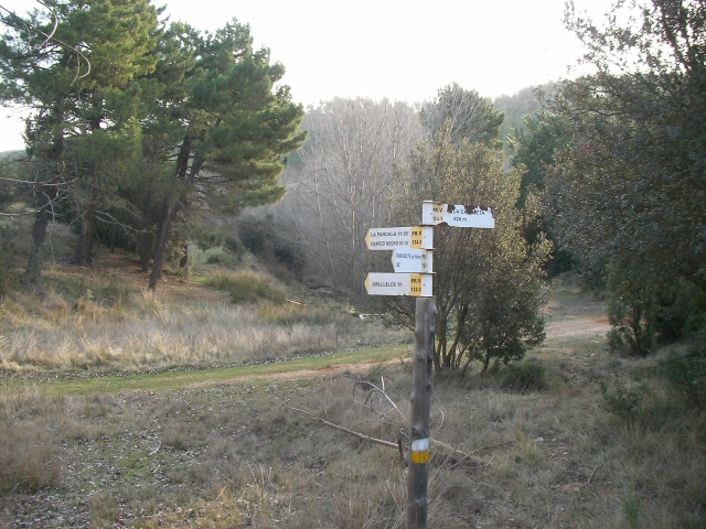
PR-CV 124.3 SINARCAS - CHARCO NEGRO
Promoter: Ayuntamiento de Sinarcas
Certification status: No quality controls
Reference municipality: Sinarcas
Length: 23,40 km
Estimated walking time: 07:10:00
Elevation gain: 640 m
Elevation loss: 640 m
(0)