
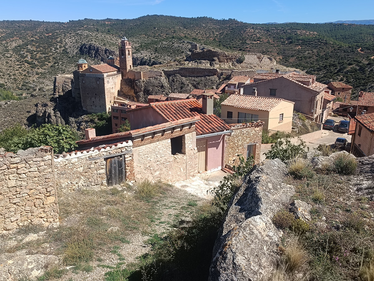
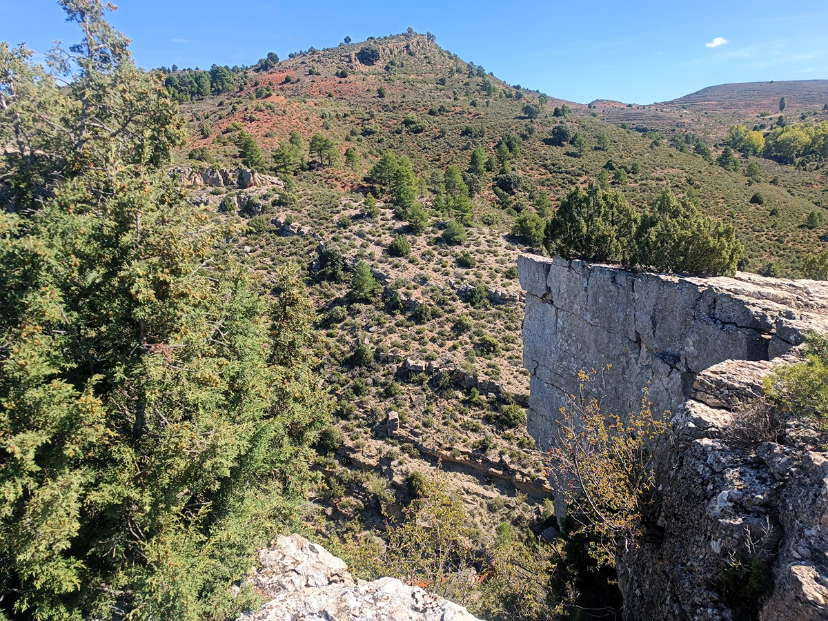
PR-CV 131.1 RUTA DE LA CRUZ DE LOS REINOS
Promoter: Ayuntamiento de Castielfabib
Certification status: Positive quality control
0 reviews
This route allows you to visit some of the villages of Castielfabib and to go up to the point where, according to legend, the kings of Aragon, Castile and Valencia met without leaving their kingdoms.
Trail:
One way (point-to-point)
Other trails connecting with this trail
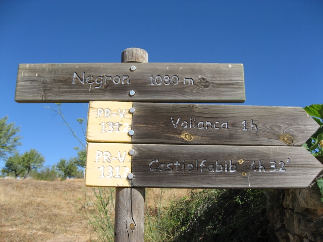
PR-CV 131.2 RUTA DE CAVANILLES
Promoter: ADIRA. Asociación para el Desarrollo Integral del Rincón de Ademuz
Certification status: No quality controls
Reference municipality: Vallanca
Length: 16,50 km
Estimated walking time: 05:15:00
Elevation gain: 465 m
Elevation loss: 665 m
(0)
PR-CV 131.3 RUTA DEL EBRÓN
Promoter: ADIRA. Asociación para el Desarrollo Integral del Rincón de Ademuz
Certification status: Conditioned quality control
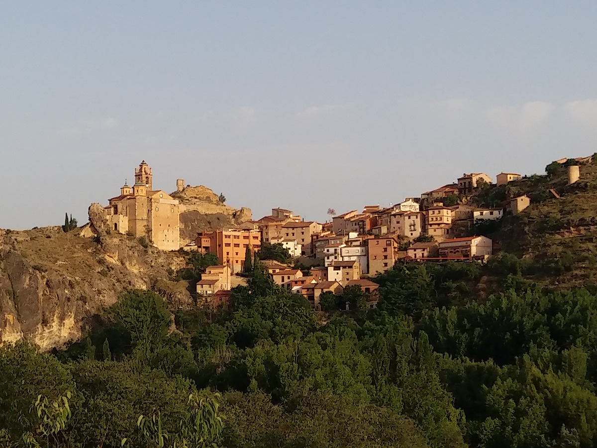
Reference municipality: Castielfabib
Length: 10,80 km
Estimated walking time: 00:00:03
Elevation gain: 220 m
Elevation loss: 360 m
(0)