Rate this trail

PR-CV 131.3 RUTA DEL EBRÓN

Promoter: ADIRA. Asociación para el Desarrollo Integral del Rincón de Ademuz

Certification status: Conditioned quality control

0 reviews

There is no proof of quality control on the record of this trail in the last years. For this reason, it is unknown whether it complies with the optimal signage and maintenance conditions for hikers to take the trail following these signs exclusively.
Hikers have to take into consideration that the information about the signage and maintenance of the trails for which the promoter entity is responsible might not be up to date anymore, since it refers to its state on the date of its approval. Furthermore, mountain sports entail risks associated with the activity itself and the environment where they take place, for which any person is fully liable. For this reason, hikes need to be planned properly and adequate training, equipment and sensible use of the trails are required.

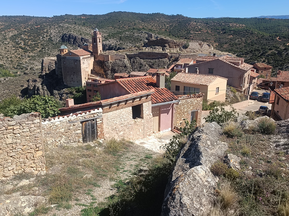
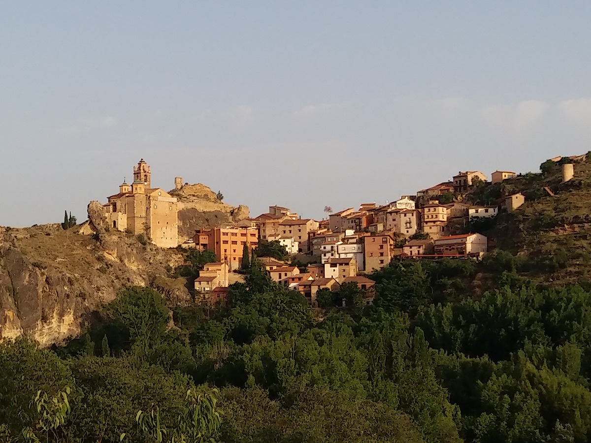
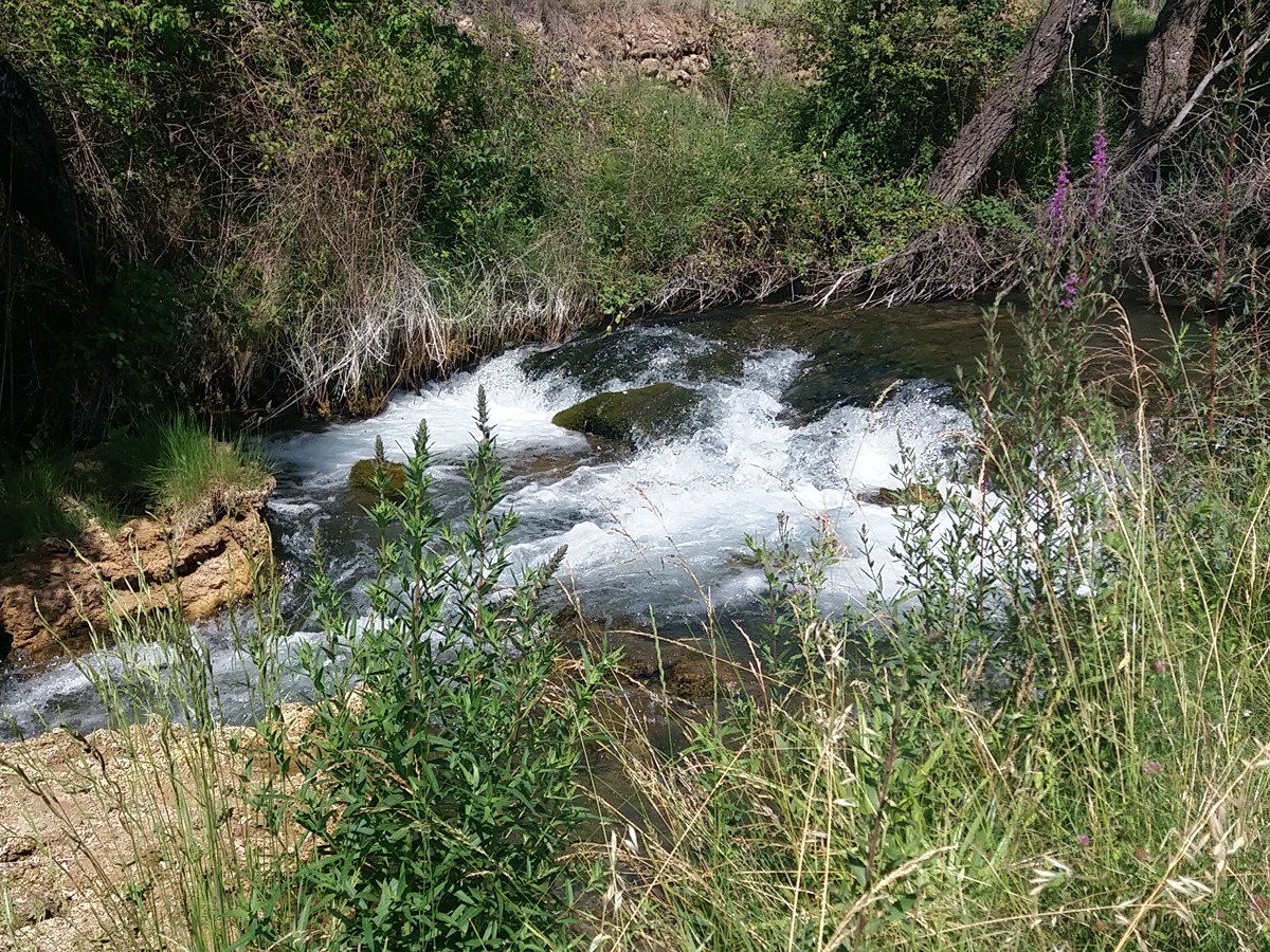
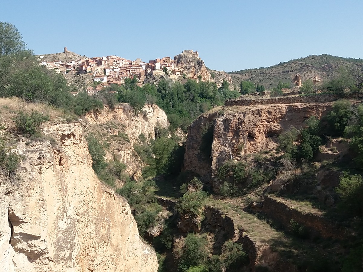
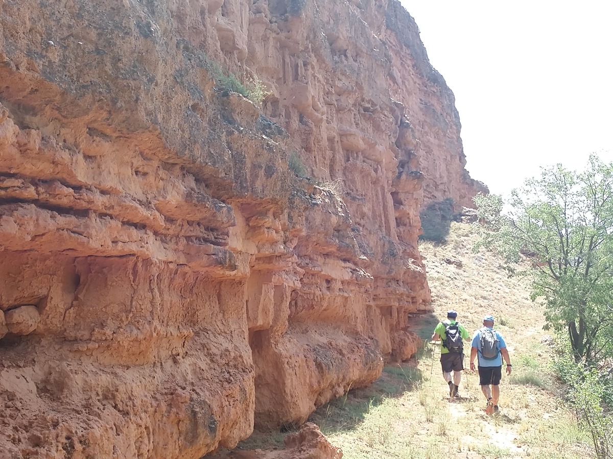
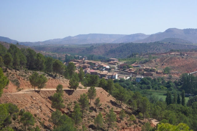
Route along the Ebrón river from El Cuervo, through Cuesta del Rato, Castielfabid and Los Santos to Torrebaja.

Trail:
One way (point-to-point)
Technical data:
Length:
10,80 km
Estimated walking time:
00:00:03
Elevation gain:
220 m
Elevation loss:
360 m
MIDE ratings:
Level of natural risks:
2
Navigation on the trail:
2
Hiking difficulty:
2
Fitness level needed:
3

More information on Montaña Segura

Difficulty rating according to FEDME:
Unknown
Interest Tags:
Trail with historical-artistic interest

Useful information:
Date of certification:
15-07-1999
Date of the last Quality Control:
july de 2024
Reference municipality:
Otros municipios por los que transcurre:
District:
Province:
Valencia/València
Cartography IGN MTN25:
0612-2

Downloadable from the Catalogue of the IGN Map Library

Protected Natural Spaces:

We advise you to look up the regulations and/or authorisations for using the trails in these conservation areas on the website of the Conselleria de Medio Ambiente, Agua, Infraestructuras y Territorio

  • Río Ebrón (Flora Micro-reserve)
  • Ríos del Rincón de Ademuz (SIC - Site of Community Interest)
Key points of the route:

El Cuervo - El Mojón - La Cuesta del Rato (connection PR-CV 131.4) - Rincón de Ademuz Campsite - Castielfabib (connection PR-CV 131.1) - Caserío del Barranco Hondo (estate) (connection PR-CV 131.2) - Los Santos - Torrebaja

Route description (only available in Spanish)

En el lavadero tomamos el camino que enfrenta y que, enseguida cruza el Ebrón y se dirige a la aldea de la Cuesta del Rato. Tras cruzar la carretera bordeamos el pueblo para volver a las proximidades del río que circula paralelo a nuestra derecha.

En uno de los recodos del camino seguiremos un tramo por el camino antiguo para salir más adelante de nuevo a la pista. En el cruce tomamos el camino que baja a la derecha y una senda a la izquierda que nos lleva a la zona de bodegas-cueva. Seguimos la pista en descenso, dejamos a la izquierda la ruta de las hoces, y cruzamos el Ebrón. Un corta subida y tomamos una senda que asciende y que seguimos a la izquierda, sin subir a la carretera para, paralelos a esta, llegar a otra senda de subida. Nosotros descendemos para cruzar de nuevo el río y acercarnos al convento de San Guillermo.

Desde aquí, seguimos el camino asfaltado hasta la aldea de los Santos pasando por la central hidroeléctrica. Cruzamos el pueblo para salir por la CV-481 para, a la altura del barranco del Molino (panel ara votiva romana) continuar por el camino de la izquierda que bordea la peña del Castillejo y sigue en altura paralela a la N-420 hasta la entrada de Torrebaja.

Downloads:

Beware! Navigation devices may fail, batteries may run out of power and devices may break down. Do not use only electronic means to track your activities in the mountains; they must be used as a complement to the map and compass. Get some proper training and enjoy the mountains.

Comments:

Video Fem Camí PR-CV 131.3 - Diputación de València.


Other trails connecting with this trail
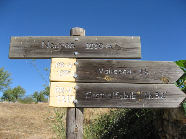