Rate this trail

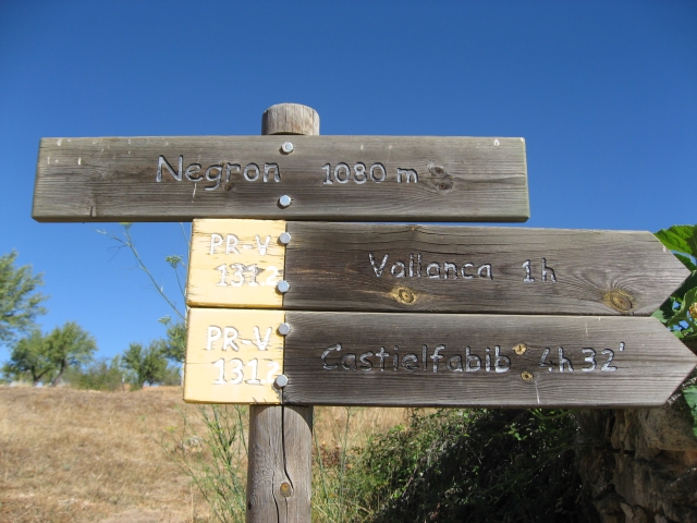
PR-CV 131.2 RUTA DE CAVANILLES

Promoter: ADIRA. Asociación para el Desarrollo Integral del Rincón de Ademuz

Certification status: No quality controls

0 reviews

There is no proof of quality control on the record of this trail in the last years. For this reason, it is unknown whether it complies with the optimal signage and maintenance conditions for hikers to take the trail following these signs exclusively.
Hikers have to take into consideration that the information about the signage and maintenance of the trails for which the promoter entity is responsible might not be up to date anymore, since it refers to its state on the date of its approval. Furthermore, mountain sports entail risks associated with the activity itself and the environment where they take place, for which any person is fully liable. For this reason, hikes need to be planned properly and adequate training, equipment and sensible use of the trails are required.

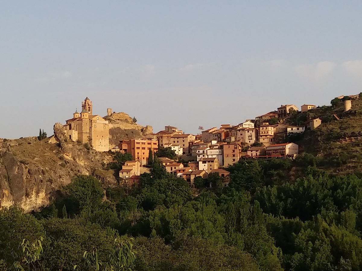
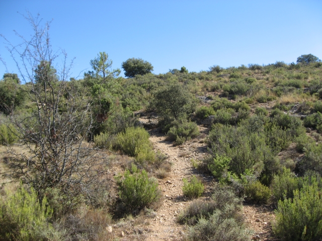
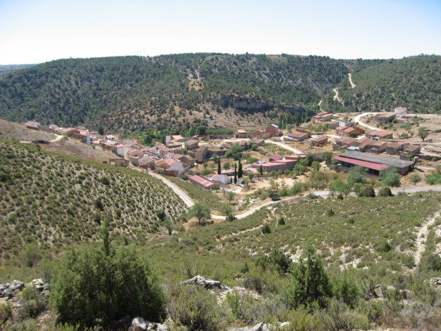
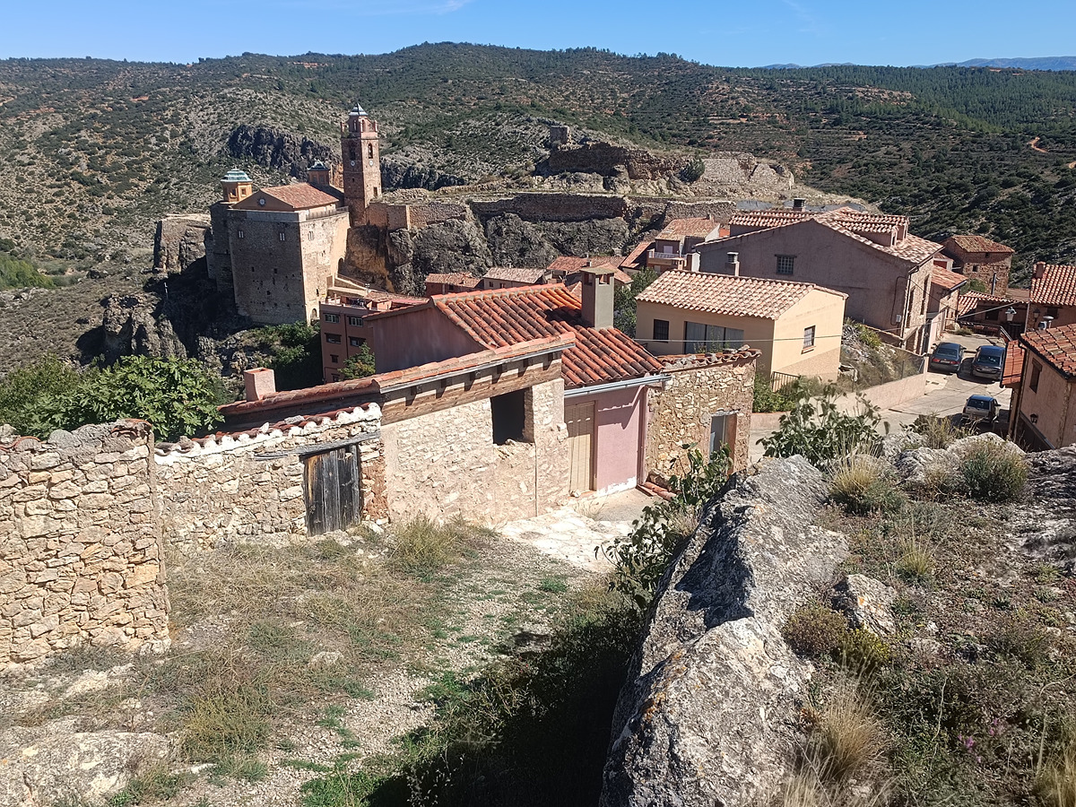
This route runs from the northwest to the southwest of the region, starting in the village of Negrón, passing through the village of Vallanca and ending in the village of Castielfabib, where you can contemplate spectacular landscapes, various springs, almond groves and plots of walnut trees.

Trail:
One way (point-to-point)
Technical data:
Length:
16,50 km
Estimated walking time:
05:15:00
Elevation gain:
465 m
Elevation loss:
665 m
MIDE ratings:
Level of natural risks:
2
Navigation on the trail:
2
Hiking difficulty:
2
Fitness level needed:
3

More information on Montaña Segura

Difficulty rating according to FEDME:
Unknown
Useful information:
Date of certification:
15-07-1999
Date of the act of registration in the Public Register:
22-05-2007
Reference municipality:
Otros municipios por los que transcurre:
District:
Province:
Valencia/València
Cartography IGN MTN25:
0612-4; 0612-2

Downloadable from the Catalogue of the IGN Map Library

Protected Natural Spaces:

We advise you to look up the regulations and/or authorisations for using the trails in these conservation areas on the website of the Conselleria de Medio Ambiente, Agua, Infraestructuras y Territorio

  • Hontanar - La Ferriza (SPAB - Special Protection Area for Birds)
  • Ríos del Rincón de Ademuz (SIC - Site of Community Interest)
Key points of the route:

Negrón - Cuesta de Moya - Río Bohilgues (river) - Vallanca - El Cerrito de la Hoya (peak) - El Losar - Tóvedas de Abajo - N-420 - Fuente la Clareta (spring) - Castielfabib

Route description (only available in Spanish)

Salimos por la parte alta de Negrón por una pista agrícola entre almendros. Cruzamos la carretera y seguimos recto. El camino se transforma en senda y desciende hacia el barranco de la Solanilla para ascender suavemente por la otra vertiente e ir paralelos a la CV-478 durante un tramo bordeando el barranco de San Juan. Cruzamos el camino de Negrón y continuamos por el llano hasta el camino de Valencia que seguimos a la izquierda y descendemos por la Cuesta de Moya hasta cruzar el río Bohilgues por La Puente y entrar en Vallanca.Salimos de Vallanca por el cementerio cruzamos una pista y en la siguiente, el camino de Tóvedas continuamos por la izquierda en dirección el Cerrito de la Hoya donde enlazamos de nuevo con el camino de Tóvedas. Pasamos por el Pozuelo (fuente estacional) y la cantera del Losar. Nos diriguimos hacia el Noreste para cruzar la Rambla de Tóvedas y seguir por un entrador a la izquierda y en seguida una senda también a la izquierda: la vereda de Tóvedas que nos lleva al pequeño asentamiento de Tóvedas de abajo donde coincidimos con el PR-CV 131.1.Seguimos a la derecha por la pista principal y pasado el corral de la Somadilla tomamos un camino a la derecha hasta una ruinas donde volvemos a desviarnos a la derecha y en el siguiente cruce a la izquierda en descenso siempre recto por campos de secano hasta la antigua N-420. Cruzamos la carretera nueva por un paso subterráneo y seguir a en el primer desvío a la derecha y el segundo a la izquierda.  Cuando acaba la pista comienza un sendero que cruza el barranco de las Muelas. Pasamos por la Fuente y la balsa de la Clareta Más adelante, salimos a una pista asfaltada y a la derecha llegamos a la carretera de Castielfabib. Cruzamos la carretera y por la Vega Zaragoza llegamos a la entrada del pueblo. 

Downloads:

Beware! Navigation devices may fail, batteries may run out of power and devices may break down. Do not use only electronic means to track your activities in the mountains; they must be used as a complement to the map and compass. Get some proper training and enjoy the mountains.

Other trails connecting with this trail