Rate this trail

PR-CV 131.4 RUTA DEL RODENO

Promoter: ADIRA. Asociación para el Desarrollo Integral del Rincón de Ademuz

Certification status: No quality controls

0 reviews

There is no proof of quality control on the record of this trail in the last years. For this reason, it is unknown whether it complies with the optimal signage and maintenance conditions for hikers to take the trail following these signs exclusively.
Hikers have to take into consideration that the information about the signage and maintenance of the trails for which the promoter entity is responsible might not be up to date anymore, since it refers to its state on the date of its approval. Furthermore, mountain sports entail risks associated with the activity itself and the environment where they take place, for which any person is fully liable. For this reason, hikes need to be planned properly and adequate training, equipment and sensible use of the trails are required.

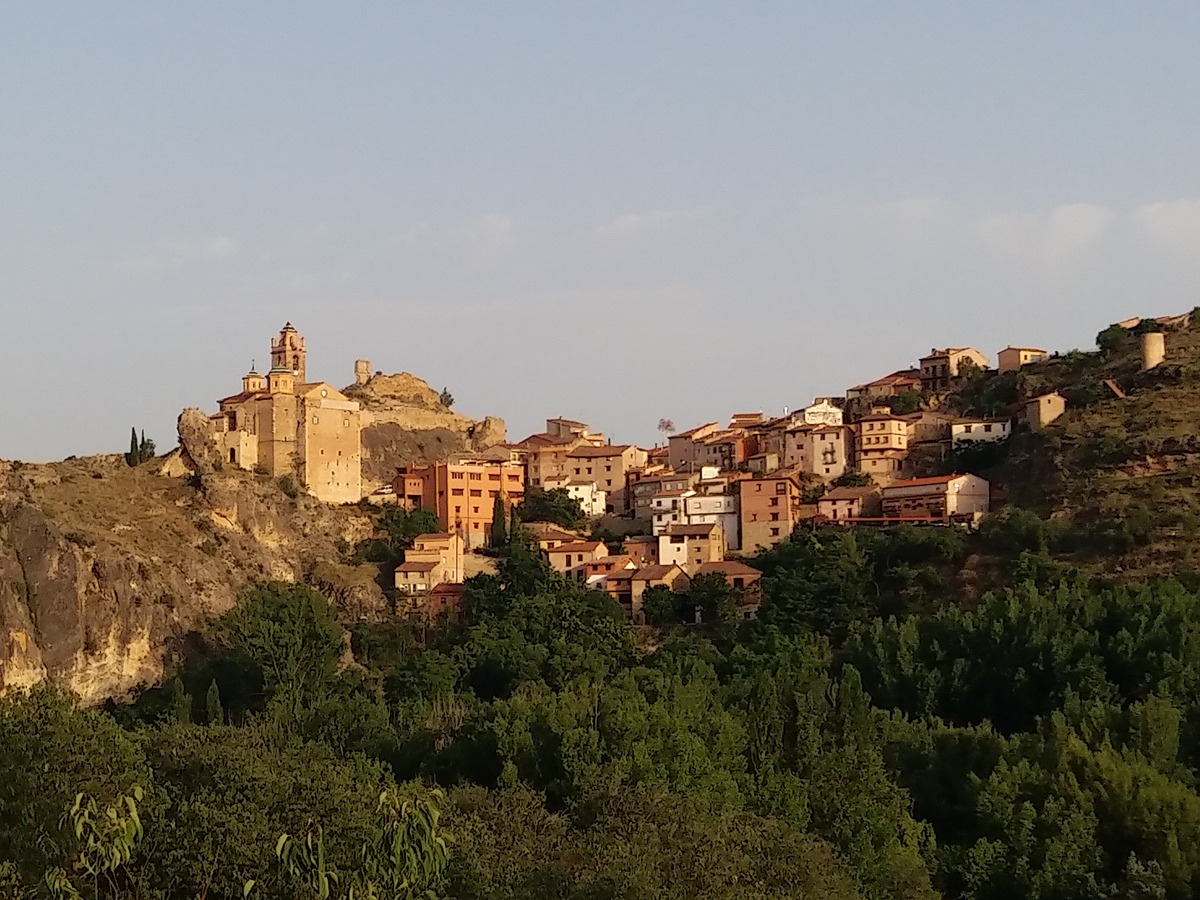
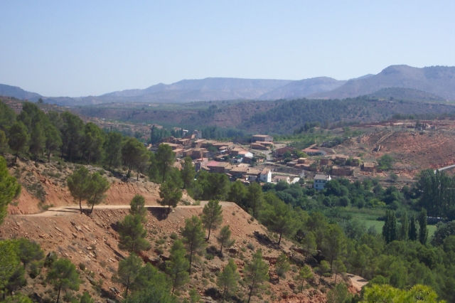
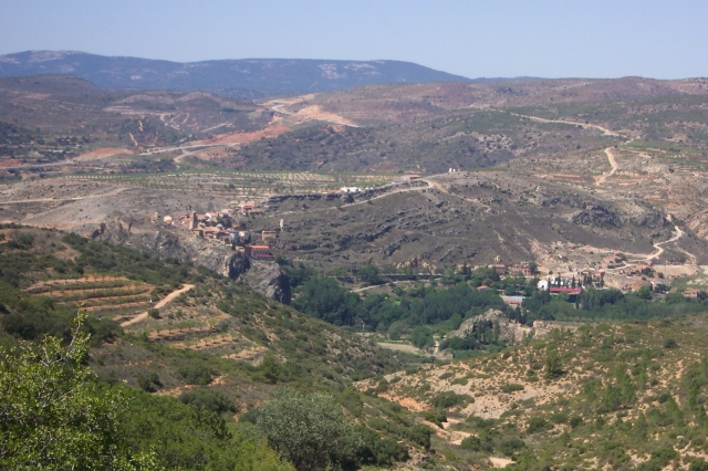
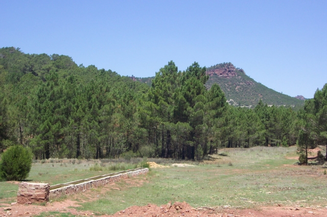
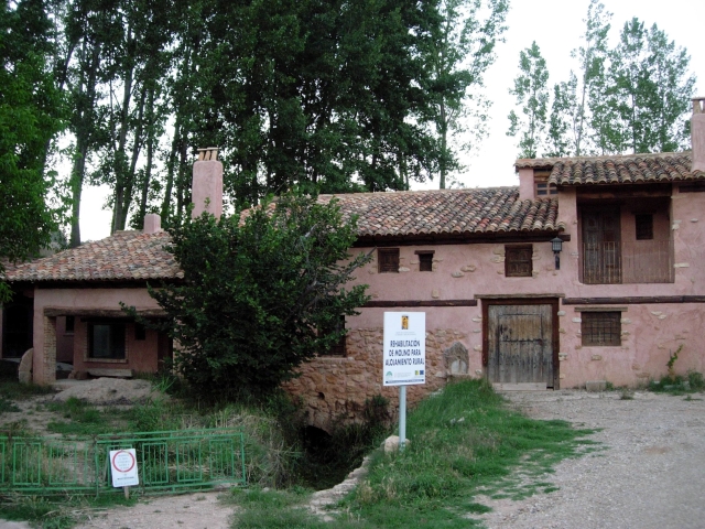
This route runs through the north of the region within the municipality of Castielfabib and the border with Teruel. From the village of Cuesta del Rato, this route takes you through rugged landscapes, crop fields, pine, holm oak and juniper forests to the Rodenos area, characterized by the most representative species of the area: the pinus pinaster. It descends to the Turia river next to Mas de Jacinto for the way back, but not before paying a visit to Mas de los Mudos.

Trail:
Loop with some overlapping out and back sections
Technical data:
Length:
42,20 km
Estimated walking time:
13:00:00
Elevation gain:
1.170 m
Elevation loss:
1.170 m
MIDE ratings:
Level of natural risks:
3
Navigation on the trail:
2
Hiking difficulty:
2
Fitness level needed:
5

More information on Montaña Segura

Difficulty rating according to FEDME:
Unknown
Starting point:
Useful information:
Date of certification:
15-07-1999
Date of the act of registration in the Public Register:
22-05-2007
Reference municipality:
District:
Province:
Valencia/València
Cartography IGN MTN25:
0589-4; 0612-2

Downloadable from the Catalogue of the IGN Map Library

Key points of the route:

Cuesta del Rato - Las Fuentecillas (spring) - El Rodeno - Lomas de Abril - Los Alcores - Rambla de la Val del Agua (wadi) - Mas de Jacinto (estate) - Mas de los Mudos (estate) - Cuesta del Rato

Route description (only available in Spanish)

Salimos de la aldea Cuesta del Rato, por el camino de Tormón para coger enseguida una senda entre bancales y vaguadas hasta la pista asfaltada a Tormón que seguimos unos metros para tomar a la izquierda  una senda que nos conduce al corral y abrevadero de las Fuentecillas. Torcemos a la izquierda en sentido W. y seguimos hasta llegar de nuevo a la orilla de la carretera. Continuamos a la derecha por senda y enlazamos con una pista. Poco más adelante esta se acaba y atravesamos unos campos de almendros y cereal por su linde hasta otro camino que tomaremos a la izquierda. Cruzamos un primer camino y enlazamos con otro más ancho que seguimos en la misma dirección que llevamos ignorando todos los cruces. Bordeamos la cabecera del barranco de las Porteras y cruzamos el de Marín ya en el paraje de los Rodenos rodeando La Morrita hacia las Lomas de Abril.Seguimos por el recto camino del cortafuegos, limitando con Teruel hasta llegar a los  Alcores donde la pista gira a la izquierda y en fuerte bajada  hasta un cruce que seguimos a la derecha en bajada más suave ignorando todos los cruces a ambos lados. Más adelante discurrimos por la zona de la Rambla del Val del Agua hasta el Mas de Jacinto.Salimos a la N-330 para buscar el paso de la rambla y subir por el carril que va a la Cuesta del Rato. En aproximadamente una hora llegamos al cruce del Carril de los Santos. Giramos a la izquierda y siguiendo la pista llegamos al Mas de los Mudos con una fuente. Desandamos el camino que hemos hecho, ahora en subida, en dirección de nuevo a la bifurcación donde continuaremos recto. En un cruce en forma de Y que seguimos a la izquierda hasta la carretera del Tormón y punto de inicio del tramo circular. Ahora por la izquierda bajamos por camino conocido a la Cuesta del Rato.

Downloads:

Beware! Navigation devices may fail, batteries may run out of power and devices may break down. Do not use only electronic means to track your activities in the mountains; they must be used as a complement to the map and compass. Get some proper training and enjoy the mountains.

Other trails connecting with this trail