Rate this trail

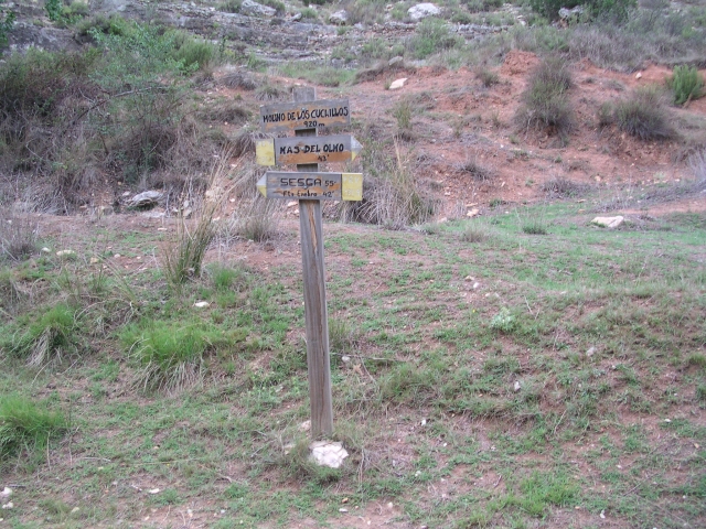
PR-CV 131.8 RUTA DEL ALTO DE LAS BARRACAS

Promoter: ADIRA. Asociación para el Desarrollo Integral del Rincón de Ademuz

Certification status: No quality controls

0 reviews

There is no proof of quality control on the record of this trail in the last years. For this reason, it is unknown whether it complies with the optimal signage and maintenance conditions for hikers to take the trail following these signs exclusively.
Hikers have to take into consideration that the information about the signage and maintenance of the trails for which the promoter entity is responsible might not be up to date anymore, since it refers to its state on the date of its approval. Furthermore, mountain sports entail risks associated with the activity itself and the environment where they take place, for which any person is fully liable. For this reason, hikes need to be planned properly and adequate training, equipment and sensible use of the trails are required.

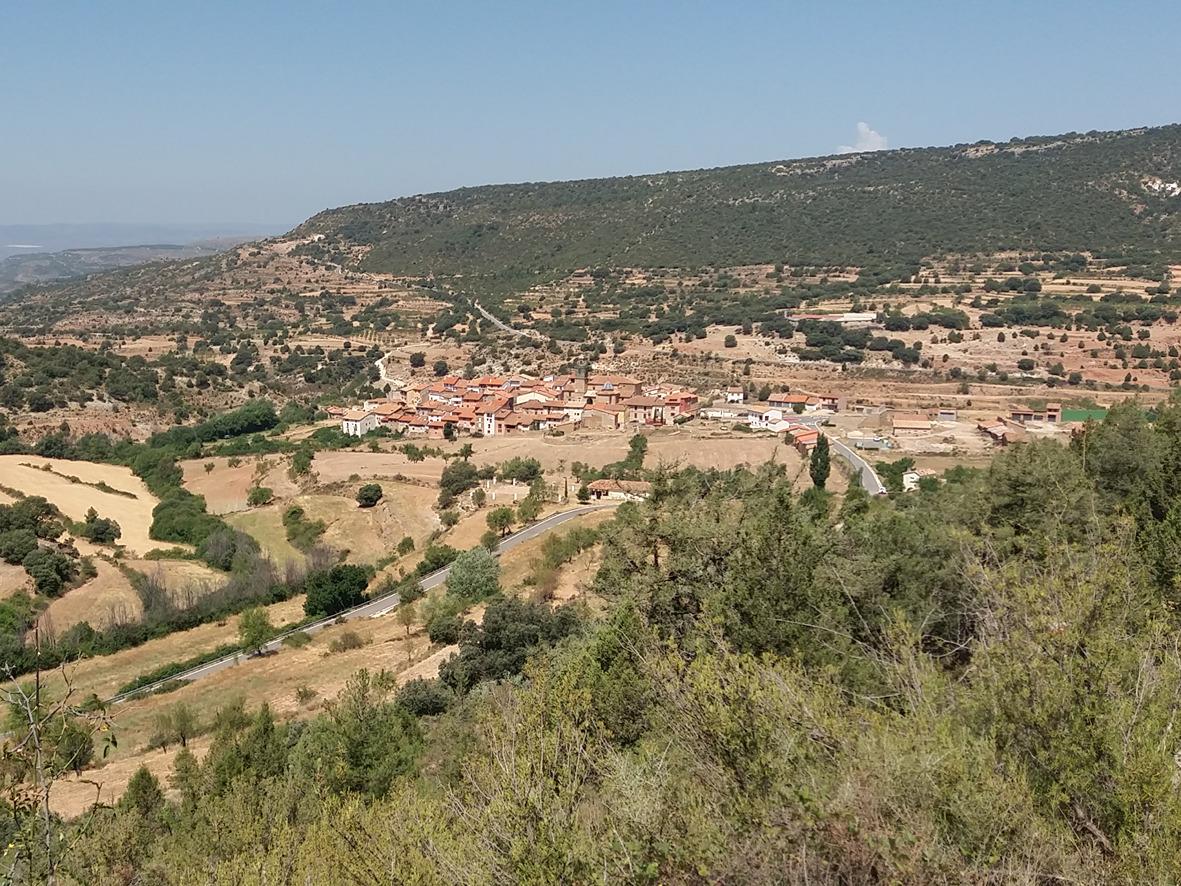
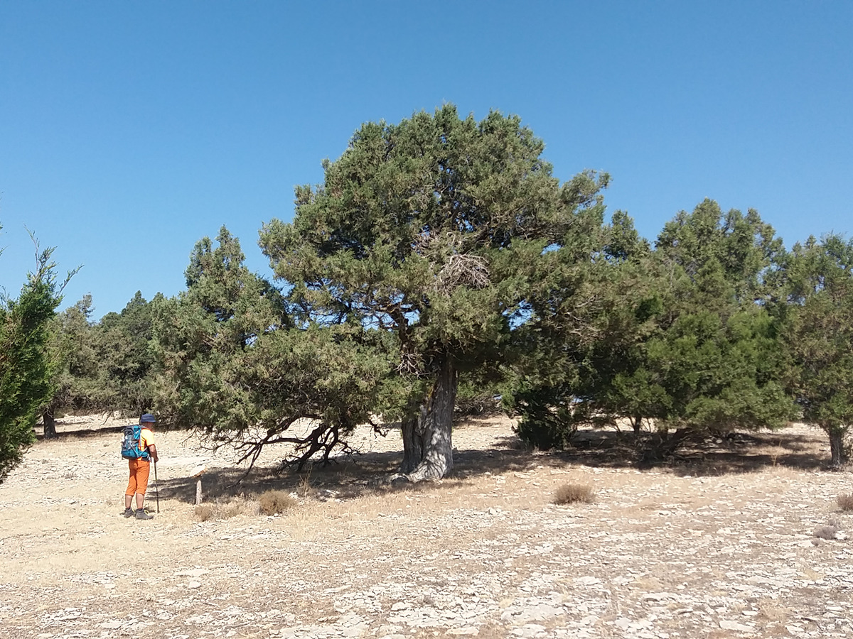
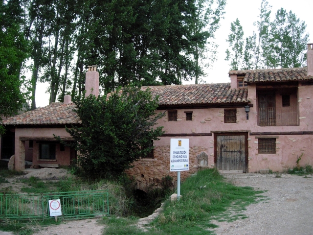
A demanding route due to its distance and elevation, but with a great alternation of landscapes that leaves you a stone's throw from the highest point of Comunitat Valenciana. On your way back, you will visit the area of Las Blancas with junipers catalogued as monumental trees with more than 1,000 years of history.

Trail:
One way (point-to-point)
Technical data:
Length:
41,00 km
Estimated walking time:
13:45:00
Elevation gain:
1.805 m
Elevation loss:
1.510 m
MIDE ratings:
Level of natural risks:
2
Navigation on the trail:
2
Hiking difficulty:
2
Fitness level needed:
5

More information on Montaña Segura

Difficulty rating according to FEDME:
Unknown
End Point:
Interest Tags:
Trail with environmental interes

Useful information:
Date of certification:
15-07-1999
Date of the act of registration in the Public Register:
22-05-2007
Reference municipality:
Otros municipios por los que transcurre:
District:
Province:
Valencia/València
Cartography IGN MTN25:
0612-4; 0613-3

Downloadable from the Catalogue of the IGN Map Library

Protected Natural Spaces:

We advise you to look up the regulations and/or authorisations for using the trails in these conservation areas on the website of the Conselleria de Medio Ambiente, Agua, Infraestructuras y Territorio

  • Fuente Bellido (Municipal Natural Site)
  • Las Blancas (Flora Micro-reserve)
  • Puebla de San Miguel (SIC - Site of Community Interest)
Key points of the route:

Casas Bajas - Sesga - Collado de la Vereda (col) - Puebla de San Miguel - Refugio Collado Buey (refuge) - Barranco Saladillo (ravine) - Las Blancas - Puebla de San Miguel - Refugio de la Tejería (refuge) - Mas del Olmo (estate)

Route description (only available in Spanish)

Salimos del pueblo de Casas Bajas atravesando el puente sobre el río Turia y remontar una senda  que enlaza con el camino a Sesga y que no dejaremos hasta la aldea.Dejamos Sesga por una pista a la derecha, el camino Real a la Puebla de San Miguel. A unos 300 m tomamos el camino a la izquierda e Ignorando tres desvíos a nuestra izquierda remontando la loma del Espinar hasta el collado de la Vereda (cortafuegos). Seguimos por la pista de la izquierda hasta las inmediaciones de la Puebla de San Miguel.Aquí empieza el tramo circular del sendero. Salimos de la Puebla por la carretera hacia la ermita de San Roque donde cogemos la pista hasta el barranco de la Canaleja y tomamos el camino a la derecha. Al final de una recta, pasado el corral del Vizco, dejamos la pista por un carril que sigue recto para volver a enlazar con el camino y que no dejaremos hasta el refugio del Collado Buey. Estamos a 1.715 msnm y a un tiro de piedra del Alto de las Barrancas, punto más alto de la Comunitat Valenciana.Desde el refugio bajamos al fondo del barranco del Saladillo, abandonándolo por una senda a la izquierda hasta encontrar un cruce por el que seguimos a la izquierda y coger el próximo cruce el camino que desciende a la derecha y que más abajo se desvía hacia el corral de Las Blancas donde podemos contemplar unos magníficos ejemplares de sabinas albares. Volvemos a enlazar con el camino que desciende hacia La Puebla de San Miguel y en el corral del Madrero tomamos una senda hacia el Barranco y la fuente del Javandal.Llegamos a la Puebla de San Miguel y salimos de la parte baja de La Puebla por la carretera  antiguo camino que comunicaba con Mas del Olmo y Ademuz. Alcanzamos el refugio de la Tejería. Unos metros más adelante encontramos la fuente Castello y poco después abandonamos la carretera y tomamos un camino en ascenso hacia El Carrascal. Seguimos por el camino unos 800 m hasta llegar a una senda a la izquierda que desciende y nos lleva a la aldea Mas del Olmo.  

Downloads:

Beware! Navigation devices may fail, batteries may run out of power and devices may break down. Do not use only electronic means to track your activities in the mountains; they must be used as a complement to the map and compass. Get some proper training and enjoy the mountains.

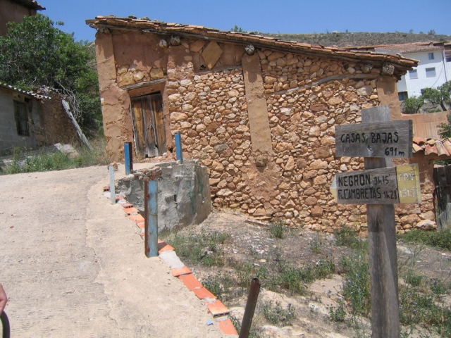
Other trails connecting with this trail