Rate this trail

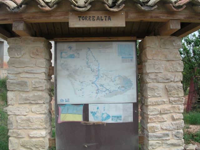
PR-CV 131.9 RUTA DE LOS BARRANCOS

Promoter: ADIRA. Asociación para el Desarrollo Integral del Rincón de Ademuz

Certification status: No quality controls

0 reviews

There is no proof of quality control on the record of this trail in the last years. For this reason, it is unknown whether it complies with the optimal signage and maintenance conditions for hikers to take the trail following these signs exclusively.
Hikers have to take into consideration that the information about the signage and maintenance of the trails for which the promoter entity is responsible might not be up to date anymore, since it refers to its state on the date of its approval. Furthermore, mountain sports entail risks associated with the activity itself and the environment where they take place, for which any person is fully liable. For this reason, hikes need to be planned properly and adequate training, equipment and sensible use of the trails are required.

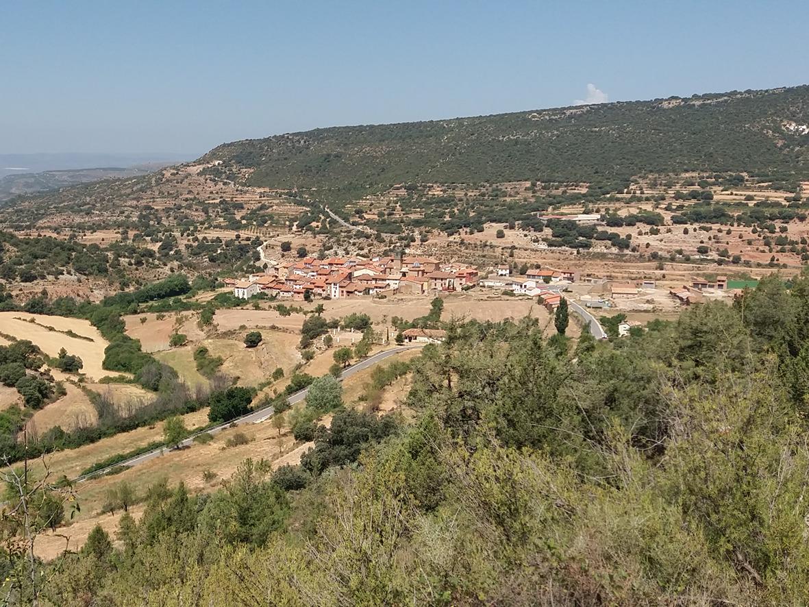
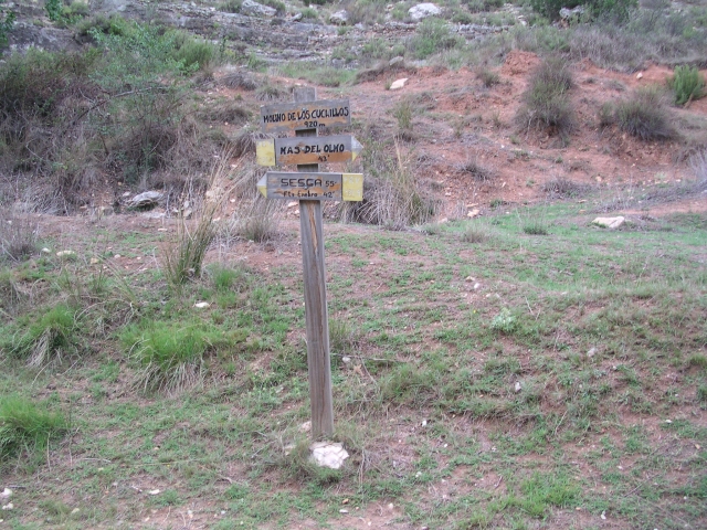
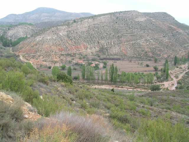
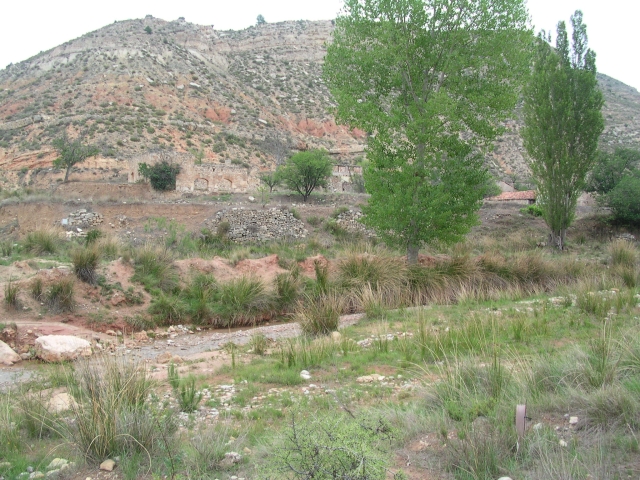
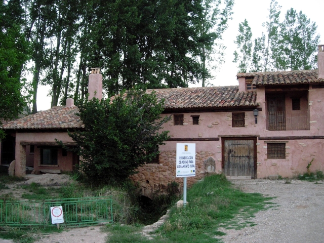
This trail runs through the east of the Rincón de Ademuz region with a gentle and leisurely route inviting you to discover, through a succession of ravines (Val de Agua, Cuchillos, de Mas and Rambla de Riodeva), the villages of Sesga, Mas del Olmo and the village of Torrealta.

Trail:
One way (point-to-point)
Technical data:
Length:
19,70 km
Estimated walking time:
05:55:00
Elevation gain:
310 m
Elevation loss:
720 m
MIDE ratings:
Level of natural risks:
2
Navigation on the trail:
2
Hiking difficulty:
2
Fitness level needed:
3

More information on Montaña Segura

Difficulty rating according to FEDME:
Unknown
Starting point:
End Point:
Useful information:
Date of certification:
15-07-1999
Date of the act of registration in the Public Register:
22-05-2007
Reference municipality:
Otros municipios por los que transcurre:
District:
Province:
Valencia/València
Cartography IGN MTN25:
0612-2; 0613-1; 0613-3; 0612-4

Downloadable from the Catalogue of the IGN Map Library

Protected Natural Spaces:

We advise you to look up the regulations and/or authorisations for using the trails in these conservation areas on the website of the Conselleria de Medio Ambiente, Agua, Infraestructuras y Territorio

  • Puebla de San Miguel (SIC - Site of Community Interest)
Weather information:
Key points of the route:

Sesga - Fuente del Enebro (spring) - Molino de los Cuchillos (mill) - Mas del Olmo (estate) - Fuente del Mal Paso (spring) - Fuente de la Cueva (spring) - Rambla de Riodeva (wadi) - Torre Baja

Route description (only available in Spanish)

Salimos desde Sesga, dirección Norte y antes de abandonar las últimas construcciones en una bifurcación de caminos giramos a la derecha y a continuación cogeremos el sendero que nos adentra en el Barranco de la Vall del Agua. Nada más bajar a este, nos encontramos con la Fuente del Enebro.De aquí pasaremos al lado derecho del barranco y a mitad de altura lo recorreremos sin perderlo de vista hasta alcanzar una unión de barrancos con la pista forestal.Tomaremos esta pista a la izquierda y en 10 minutos veremos a nuestra derecha un camino poco definido que nos conducirá al fondo del barranco donde se encuentra el Molino de los Cuchillos, aquí cogeremos la Rambla del Vall en dirección ascendente y veremos el área recreativa del Molino de Los Cuchillos. Tomaremos la pista y en la bifurcación cogeremos el camino de la derecha que va paralelo a la Rambla hasta llegar a Mas del Olmo.Subimos a la parte alta del pueblo y seguimos la carretera por la derecha. Pasada una nave tomamos a la izquierda el antiguo camino de Mas del Olmo a Torre Alta que, sin abandonarlo nos deja en la Fuente de Mal Paso y su área recreativa. Continuamos por el camino para abandonarlo a los 10 minutos a la derecha, luego se vuelve a bifurcar y tomaremos a la izquierda hasta llegar a un corral que utilizaremos como punto de referencia y desde donde nos adentraremos en el Barranco del Vallurgo.Descendemos por un camino que avanza paralelo al barranco. Primero pasaremos por la Fuente de la Cueva, luego por una especie de embudo que abre el barranco, desde donde ladearemos por la izquierda dejando el interior del barranco ya que se hace impracticable.Seguimos por el camino que cada vez está menos definido y llegamos a una bifurcación que tomamos a la derecha, que nos conducirá dirección Norte y paralela al barranco a la Masía de Floro y la unión con la Rambla de Riodeva que seguimos a la izquierda. Desde este punto el sendero transcurre por un camino paralelo a la rambla hasta llegar a Torre Alta.

Downloads:

Beware! Navigation devices may fail, batteries may run out of power and devices may break down. Do not use only electronic means to track your activities in the mountains; they must be used as a complement to the map and compass. Get some proper training and enjoy the mountains.

Other trails connecting with this trail