Rate this trail

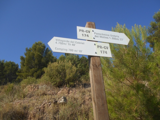
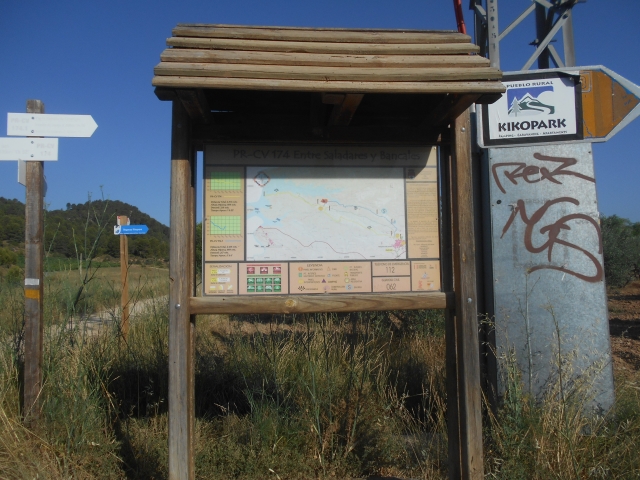
PR-CV 174 ENTRE SALADARES Y BANCALES

Promoter: Ayuntamiento de Villargordo del Cabriel

Certification status: Positive quality control

0 reviews

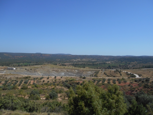
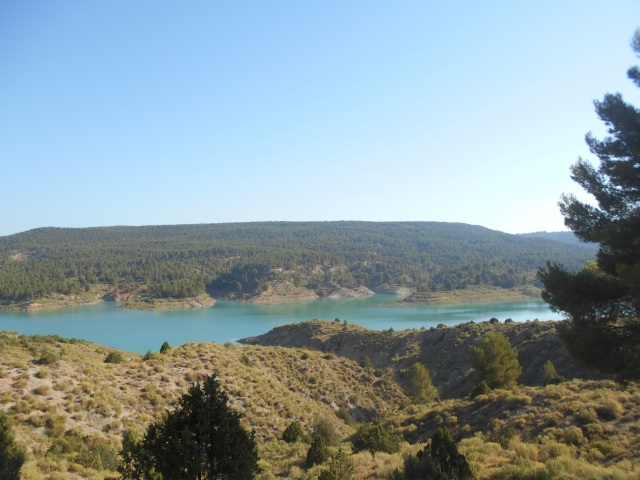
This trail starts on the outskirts of the town centre, following the road to the reservoir. You will reach a hill where you have a panoramic view of Rambla Salada. It descends along the Bancal path through the olive groves. The end of this route is Punta Umbría.

Trail:
One way (point-to-point)
Technical data:
Length:
6,50 km
Estimated walking time:
01:55:00
Elevation gain:
50 m
Elevation loss:
245 m
MIDE ratings:
Level of natural risks:
2
Navigation on the trail:
2
Hiking difficulty:
2
Fitness level needed:
2

More information on Montaña Segura

Difficulty rating according to FEDME:
Unknown
Starting point:
End Point:
Useful information:
Date of certification:
15-02-2002
Date of the act of registration in the Public Register:
22-05-2007
Date of the last Quality Control:
july de 2021
Reference municipality:
District:
Province:
Valencia/València
Cartography IGN MTN25:
0693-3

Downloadable from the Catalogue of the IGN Map Library

See other trails of this promoter:
Protected Natural Spaces:

We advise you to look up the regulations and/or authorisations for using the trails in these conservation areas on the website of the Conselleria de Medio Ambiente, Agua, Infraestructuras y Territorio

  • Valle del Cabriel (Biosphere reserve)
Key points of the route:

Camino del Tesoro (path) - Collado de El Mogorrito (col) - Rambla Salada (wadi) - La Herradilla - Camino del Tesoro (path) - Barranco de la Vid (ravine) - Senda Umbría del Molino (path)

Route description (only available in Spanish)

El sendero se inicia junto al campo de futbol, por la carretera dirección poniente, pasamos junto a unas bodegas a nuestra izquierda. Llegamos a un cruce de caminos, donde encontramos un poste con la opción de realizar una variante del PR-CV 174.1. Nosotros seguimos recto ahora por camino de tierra en unos cientos de metros dejamos el camino central y por la derecha por un pista que luego es senda hacia el collado de El Mogorrito, donde observamos una panorámica de la rambla Salada. Esta senda va en descenso entre vegetación típica de bosque mediterráneo (escaramujos, romeros, espinos, enebros) hasta llegar a los bancales de olivos y almendros, atravesamos la rambla Salada.
Ya entre bancales y en suave ascenso, llegamos de nuevo al camino de tierra (camino del Tesoro), entre una zona de pinares alcanzamos un cruce de carretera y por la derecha pasamos sobre un puente las vías del tren (barranco de la Vid). Vemos la entrada de un camping y el enlace con la variante PR-CV 174.1.
Continuamos dirección W por camino de tierra hasta encontrar un poste a la izquierda y la senda de la Umbría del Molino que ya no dejaremos hasta el final de la ruta. El contorno del embalse nos ofrece unas bonitas vista de este sobre las características colas o lenguas que se adentran tierra adentro, hasta que llegamos a la Umbría del Molino.

Downloads:

Beware! Navigation devices may fail, batteries may run out of power and devices may break down. Do not use only electronic means to track your activities in the mountains; they must be used as a complement to the map and compass. Get some proper training and enjoy the mountains.

Alternative routes and routes leading to nearby points of interest

Other trails connecting with this trail