Rate this trail

PR-CV 177.1 EL HONTANAR

Promoter: Ayuntamiento de Utiel

Certification status: Conditioned quality control

0 reviews

There is no proof of quality control on the record of this trail in the last years. For this reason, it is unknown whether it complies with the optimal signage and maintenance conditions for hikers to take the trail following these signs exclusively.
Hikers have to take into consideration that the information about the signage and maintenance of the trails for which the promoter entity is responsible might not be up to date anymore, since it refers to its state on the date of its approval. Furthermore, mountain sports entail risks associated with the activity itself and the environment where they take place, for which any person is fully liable. For this reason, hikes need to be planned properly and adequate training, equipment and sensible use of the trails are required.

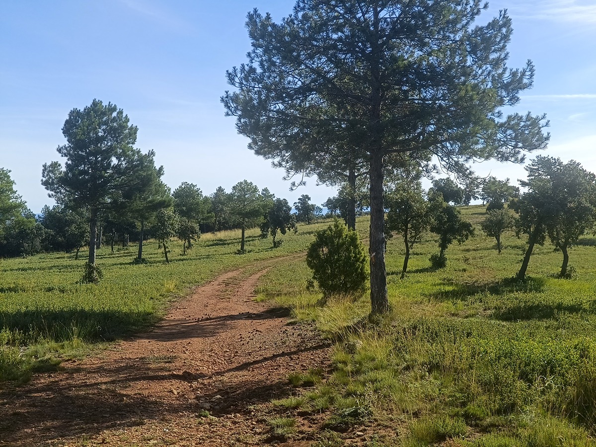
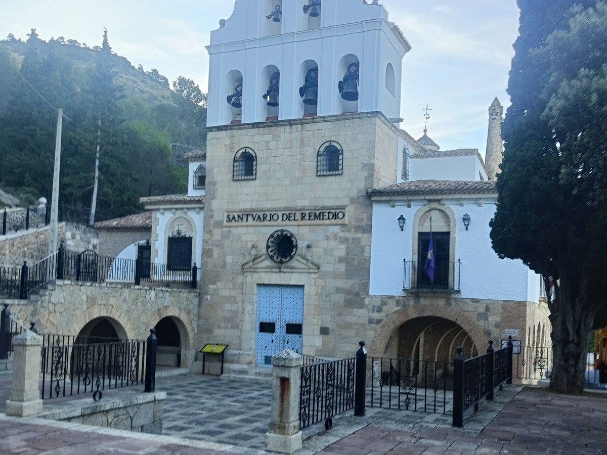
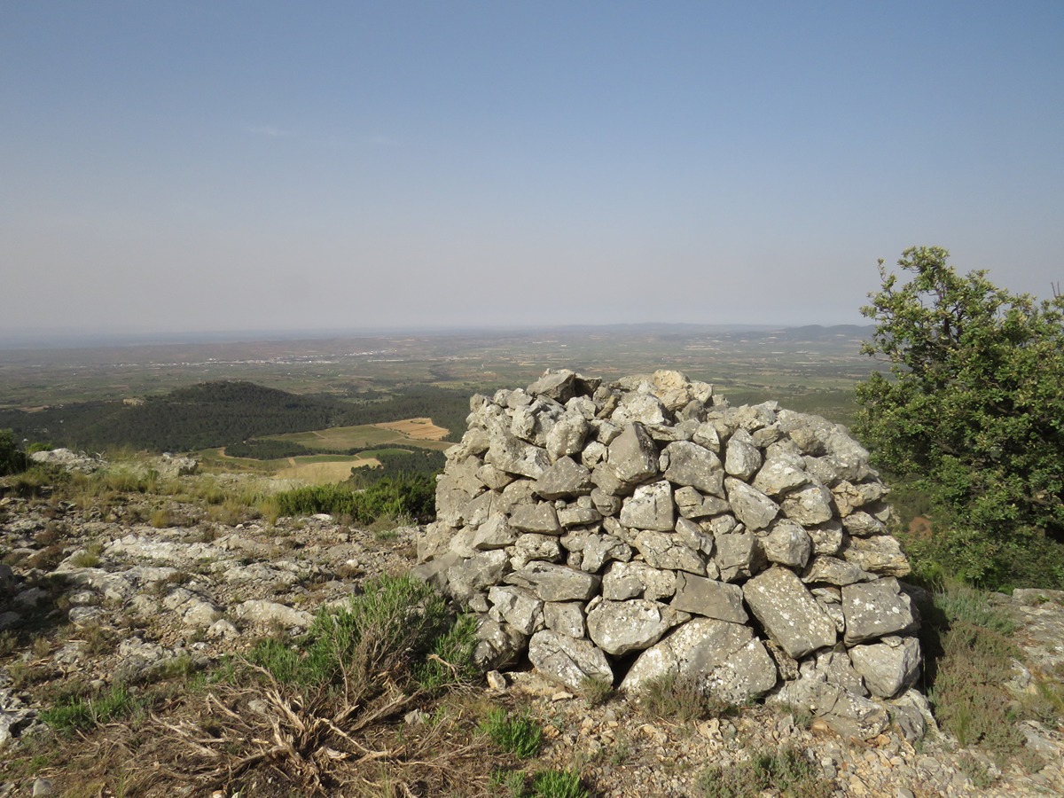
The PR-CV 177.1 trail runs entirely through dense pine and holm oak forests very close to the spurs of the Pico del Negrete. The elevation gain and loss is just over 300 m, which makes for a family-friendly route. In the area around the Remedio Chapel, there is a recreational area that you might want to keep in mind for the end of the day.

Trail:
Loop
Technical data:
Length:
10,60 km
Estimated walking time:
03:20:00
Elevation gain:
315 m
Elevation loss:
315 m
MIDE ratings:
Level of natural risks:
1
Navigation on the trail:
2
Hiking difficulty:
2
Fitness level needed:
3

More information on Montaña Segura

Difficulty rating according to FEDME:
Unknown
Useful information:
Date of certification:
08-03-2001
Date of the act of registration in the Public Register:
22-05-2007
Reference municipality:
District:
Province:
Valencia/València
Cartography IGN MTN25:
0694-1

Downloadable from the Catalogue of the IGN Map Library

See other trails of this promoter:
Protected Natural Spaces:

We advise you to look up the regulations and/or authorisations for using the trails in these conservation areas on the website of the Conselleria de Medio Ambiente, Agua, Infraestructuras y Territorio

  • Sierra del Negrete (SIC - Site of Community Interest)
  • Sierra del Negrete (SAC - Special Area of Conservation)
Key points of the route:

Ermita del Remedio (chapel) - Cueva de la Virgen (cave) - Forest track connection - CV-391 connection - Corral del Negrete (corral) - Barranco del Hontanar (ravine) (PR-CV 177.3 connection) - Fuente del Hontanar (spring) - Urb. del Hontanar (residential area) - Urb. Casas De Medina (residential area) (GR 238 connection)

Route description (only available in Spanish)

Por delante de la fachada principal de la ermita, rumbo N, comenzaremos subiendo por las escaleras hasta la cercana cueva del Mirador con excelentes vistas de la sierra del Negrete. Continuaremos, rumbo N hasta enlazar con una pista forestal donde tomamos rumbo NO que nos llevará hasta una antigua pista de aterrizaje con un mirador astronómico.

Giramos a la derecha por la antigua pista aterrizaje y en unos 100 metros giramos a la izquierda hasta las estribaciones del cerro Marjadal. Una vez aquí, giramos a la izquierda y continuaremos por una senda ancha que nos llevará rumbo NO a cruzar la carretera. Una vez

cruzada nos llegaremos a los corrales del Negrete para girar a la izquierda rumbo SE y comenzar el suave descenso por el barranco del Hontanar donde encontraremos el enlace con el PR-CV 177.3 hasta la fuente del Hontanar y su área recreativa.

Desde aquí, caminaremos rumbo O unos 400 metros hasta llegar a una senda que se abre a nuestra izquierda por la que giraremos y que nos llevará hasta la urbanización del Hontanar. Después de caminar por las calles que rodean dicha urbanización llegaremos a cruzar la CV-390, que nos llevara hasta la urbanización de Casas de Medina. Una vez aquí, atravesaremos la carretera CV 390 y CV-391 y enlazaremos con el GR 238. Desde este punto, caminaremos unos 300 metros por la carretera hasta llegar a un desvío que tomaremos a la derecha y que nos llevará, primero rumbo E y luego rumbo NE, por la senda del carril de las Cabañas y por la senda de los Caldereros hasta el área recreativa del Remedio y en poco más a la ermita.

Downloads:

Beware! Navigation devices may fail, batteries may run out of power and devices may break down. Do not use only electronic means to track your activities in the mountains; they must be used as a complement to the map and compass. Get some proper training and enjoy the mountains.

Other trails connecting with this trail