Cambiar idioma a español / Cambiar idioma a english / Cambiar idioma a valencià

Rate this trail

PR-CV 21 PUERTO DE TUDONS - BENIFATO

Promoter: Diputación de Alicante

Certification status: No quality controls

0 reviews

There is no proof of quality control on the record of this trail in the last years. For this reason, it is unknown whether it complies with the optimal signage and maintenance conditions for hikers to take the trail following these signs exclusively.
Hikers have to take into consideration that the information about the signage and maintenance of the trails for which the promoter entity is responsible might not be up to date anymore, since it refers to its state on the date of its approval. Furthermore, mountain sports entail risks associated with the activity itself and the environment where they take place, for which any person is fully liable. For this reason, hikes need to be planned properly and adequate training, equipment and sensible use of the trails are required.

Trail:
One way (point-to-point)
Technical data:
Length:
15,00 km
Estimated walking time:
04:40:00
Elevation gain:
570 m
Elevation loss:
950 m
MIDE ratings:
Level of natural risks:
2
Navigation on the trail:
2
Hiking difficulty:
1
Fitness level needed:
3

More information at Montaña Segura

Difficulty rating according to FEDME:
Unknown
Useful information:
Date of certification:
15-09-1995
Date of the act of registration in the Public Register:
22-05-2007
Date of the last Quality Control:
june de 0021
Reference municipality:
Other municipalities through which it passes:
District:
Province:
Alicante/Alacant
Cartography IGN MTN25:
0847-2; 0821-4

You can download them from the IGN Map Library Catalog

See other trails of this promoter:
Protected Natural Spaces:

It is recommended to consult the regulations and/or authorizations for the use of trails in these protected natural areas on the website of the Regional Ministry of Environment, Water, Infrastructure, and Territory

  • Aitana, Serrella y Puig Campana (SIC - Site of Community Interest)
  • Coll del Ventisquer (Flora Micro-reserve)
  • Montañasde la Marina (SPAB - Special Protection Area for Birds)
  • Penya de la Font Vella (Flora Micro-reserve)
Weather information:
Nearest AVAMET weather station
Key points of the route:

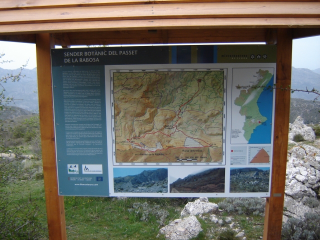
Puerto de Tudons (peak) - Font de l'Arbre recreation area (connection with PR-CV 22) - Font de la Forata (spring) (connection PR-CV 21) - El Cantalar - Font de Partagat (spring) (PR-CV 464 connection) - Benifato (PR-CV 44 connection and PR-CV 10)

Route description (only available in Spanish)

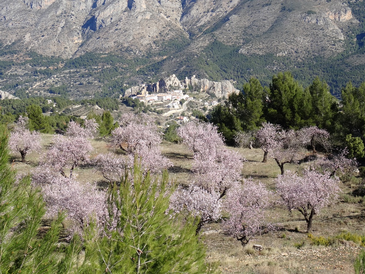
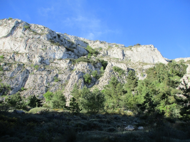
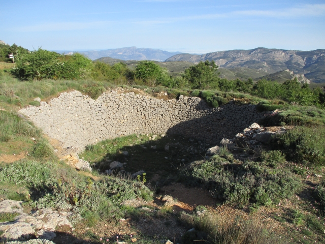
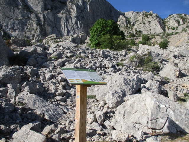
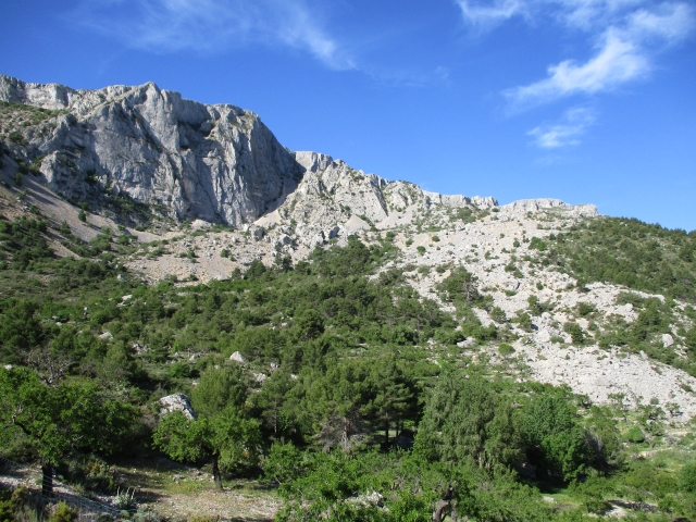
Desde el puerto de Tudons, seguiremos la carretera hacia Alcoleja unos 250 metros, donde la abandonaremos tomando un camino que sale a la derecha dirección NE. El camino ancho y cómodo, asciende progresivamente entre antiguos bancales y antiguas ruinas de masias. Progresivamente el panorama se va abriendo, y tras un ligero ascenso llegamos a la Font de l´Arbre. En este punto cogeremos el ramal del camino que sale hacia la derecha (SE) en fuerte subida. Durante este tramo de camino, podremos observar la abundancia de la vegetación, destacando la repoblación de pinos negrales y el paso por una Microreserva de Flora. A la derecha iremos dejando los impresionantes cortados de la Sierra de Aitana y las antenas de las instalaciones militares. Seguidamente llegamos a la Font Forata y a su pozo de nieve, que suponen un valor patrimonial añadido.Desde este punto seguimos rectos, en descenso, dirección Este, por donde bordearemos una nueva Microreserva de alto valor ecológico. Al poco el camino se convierte en senda, guiándonos en descenso hacia el paso por el runar y caos de bloques de la zona de El Cantalar. Aquí,el panorama se nos abre hacia el valle de Guadalest. De nuevo en descenso el sendero se transforma en camino y llegamos a la Font de Partagat. Proseguiremos, ya por camino asfaltado, descendiendo en sucesivas lazadas entre campos de cultivo, hasta llegar al pintoresco pueblo de Benifato.  

Downloads:

Beware! Navigation devices may fail, batteries may run out of power and devices may break down. Do not use only electronic means to track your activities in the mountains; they must be used as a complement to the map and compass. Get some proper training and enjoy the mountains.

Comments:

Other trails connecting with this trail