
PR-CV 242 SENDERO DE LA COCA
Promoter: Ayuntamiento de Aspe
Certification status: Positive quality control
0 reviews
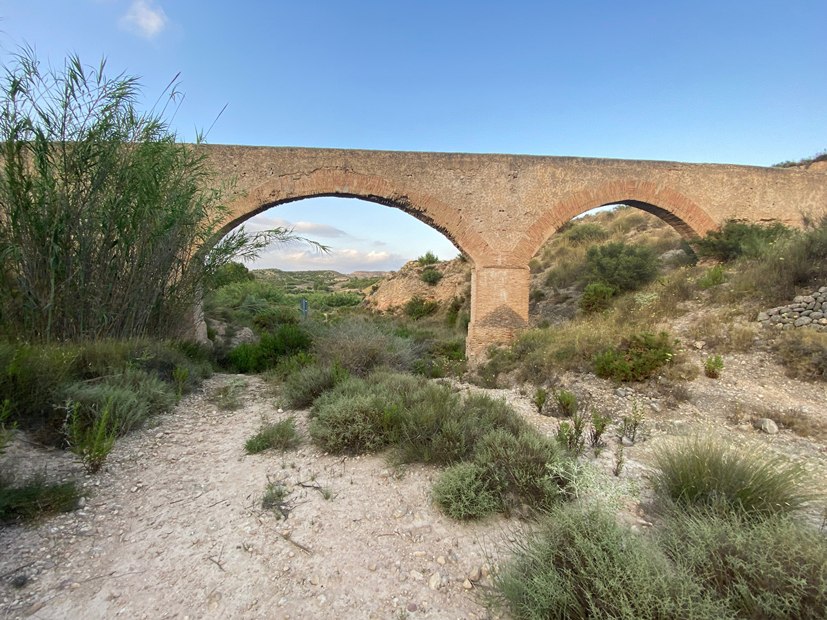
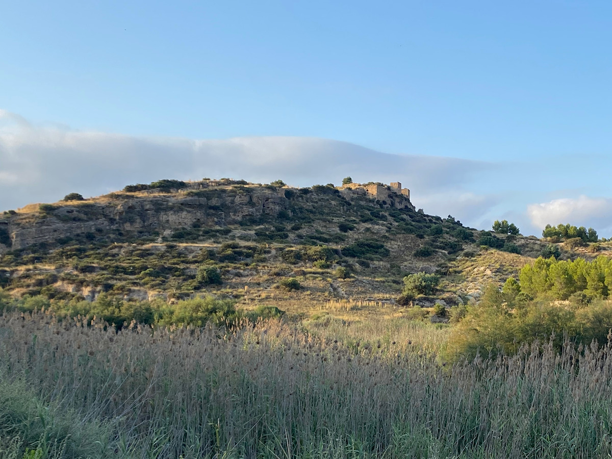
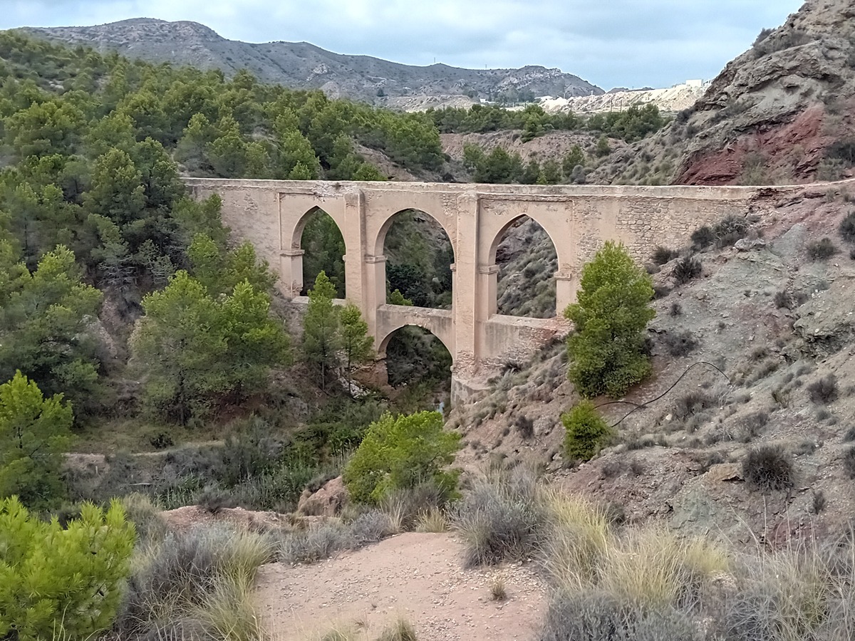
A simple route, ideal for a stroll and to get to know part of the Algezares Local Natural Park. You will reach the tail end of the Elche reservoir and see the old castle of the Vinalopó river from the other bank.
Trail:
Loop with some overlapping out and back sections
Other trails connecting with this trail
PR-CV 169 SENDERO DE UPANEL
Promoter: Ayuntamiento de Aspe
Certification status: Conditioned quality control
Reference municipality: Aspe
Length: 10,00 km
Estimated walking time: 02:40:00
Elevation gain: 300 m
Elevation loss: 305 m
(0)
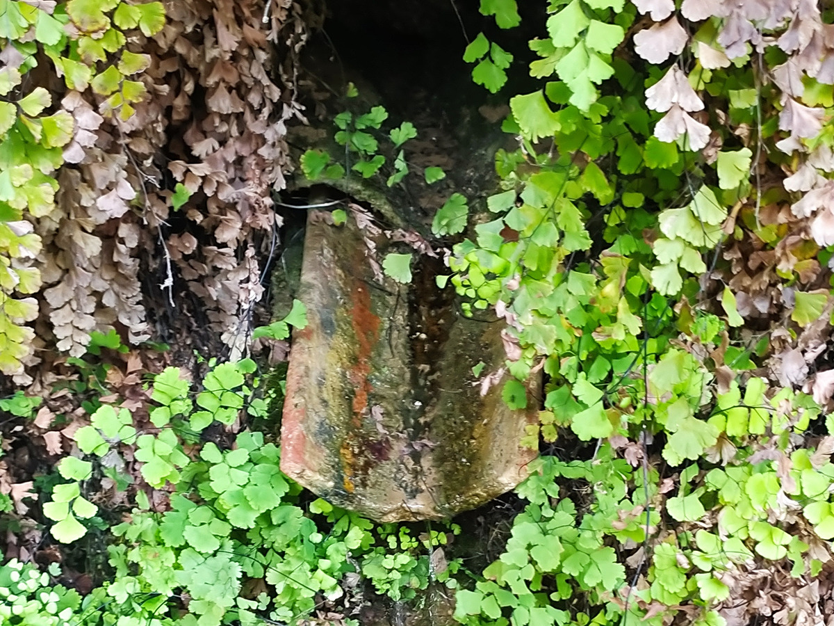
PR-CV 315 ITINERARIO DE LA FUENTE DE LA GOTA
Promoter: Ayuntamiento de Aspe
Certification status: Conditioned quality control
Reference municipality: Aspe
Length: 6,10 km
Estimated walking time: 01:50:00
Elevation gain: 110 m
Elevation loss: 170 m
(0)