Rate this trail

PR-CV 315 ITINERARIO DE LA FUENTE DE LA GOTA

Promoter: Ayuntamiento de Aspe

Certification status: Conditioned quality control

0 reviews

Following the inspection carried out by trail technicians, this trail has been declared of "limited adequacy" as a result of the faults detected in the signage. These include inadequate horizontal signs (paint markers) and/or vertical ones (trailheads and information boards) or lacking direction markers that do not provide sufficient information to properly follow the route. The builder of this trail has been informed of the situation.
For safety reasons and during maintenance work, it is advised to be extremely careful while taking this route. Furthermore, mountain sports entail risks associated with the activity itself and the environment where they take place, for which any person is fully liable. For this reason, hikes need to be planned properly and adequate training, equipment and sensible use of the trails are required.

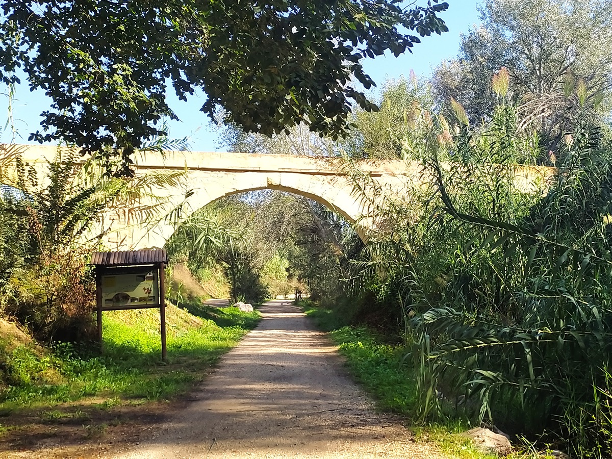
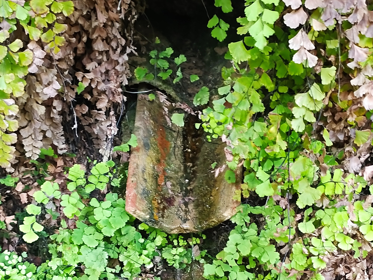
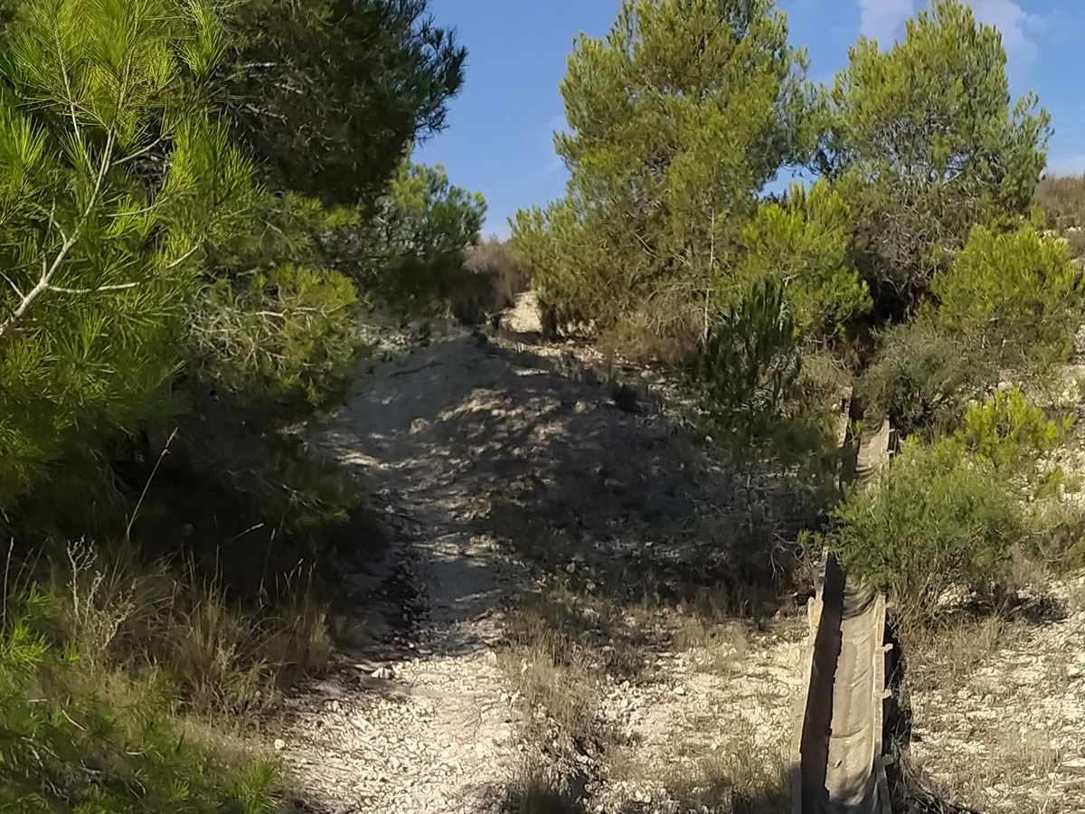
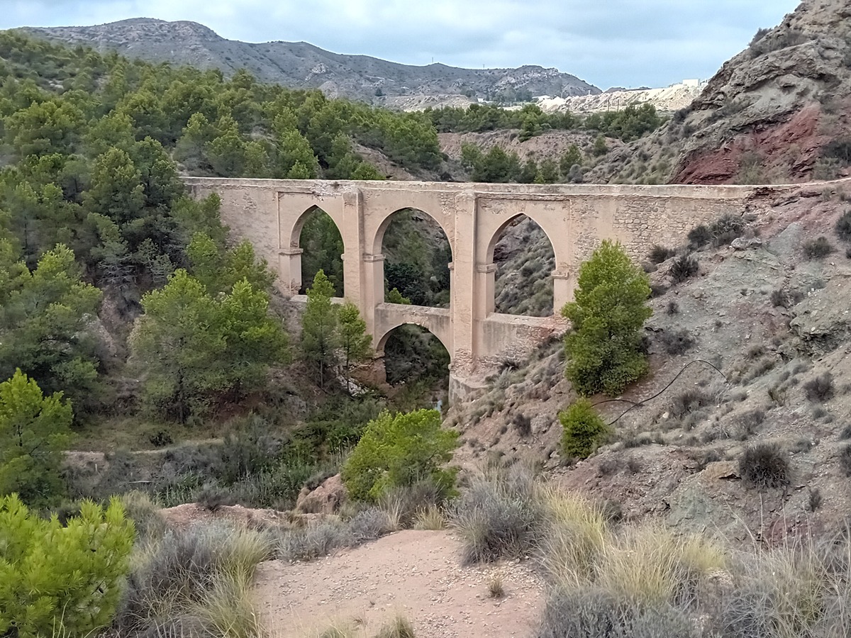
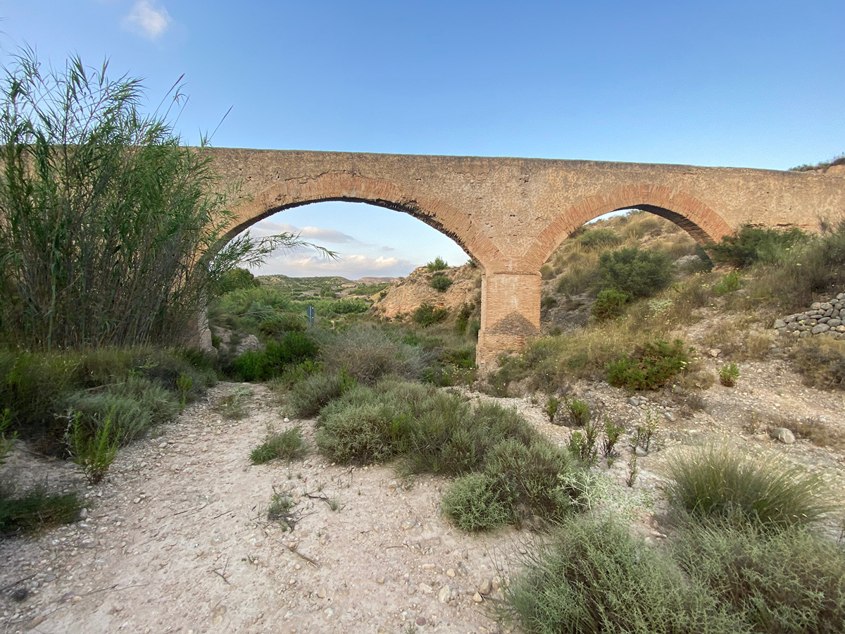
A trail that will take you from the upper part of Aspe, along the old road to Elche, crossing the CV-84 trail and through areas of cultivation to the Monjas ravine, where you can enjoy the small spring of La Gota.

Trail:
One way (point-to-point)
Technical data:
Length:
6,10 km
Estimated walking time:
01:50:00
Elevation gain:
110 m
Elevation loss:
170 m
MIDE ratings:
Level of natural risks:
2
Navigation on the trail:
2
Hiking difficulty:
2
Fitness level needed:
2

More information on Montaña Segura

Difficulty rating according to FEDME:
Unknown
Starting point:
End Point:
Useful information:
Date of certification:
15-12-2006
Date of the last Quality Control:
october de 2023
Reference municipality:
District:
Province:
Alicante/Alacant
Cartography IGN MTN25:
0871-3; 0893-1

Downloadable from the Catalogue of the IGN Map Library

See other trails of this promoter:
Key points of the route:

Aspe - Ermita de Ntra. Sra. de Fátima (chapel) - Collado cantal de Eraes (col) - CV-84 pass - End of camino Balsica de Blas (path) - Lomas del Muladar (hillock) - Alto de Pepe Rusa (peak) - Cueva de la Gota (cave)

Route description (only available in Spanish)

Desde el parque Vistahermosa nos dirigimos hasta la ermita los Cipreses para continuar por la vía principal hasta el área forestal del Cantal de Eraes. Nos desviamos a la derecha y continuamos por el camino de la Calera, que desciende hasta la carretera CV-84 (Aspe- Elche). La atravesamos con precaución para situarnos frente al paso subterráneo de la CV-84.

Una vez al otro lado de la carretera tomaremos el camino de la Balsita don Blas y continuaremos por un ramal que se abre a nuestra izquierda, en línea recta, para llegar a las lomas del Muladar, que recorreremos utilizando una senda forestal durante unos 700 m y continuar por el camino del Cherro.

Poco a poco, el paisaje dominado por las construcciones rurales y parcelas de cultivo se va aclarando para internarnos entre los altos de Pepe Rusa, que aparecen al frente dando paso al polígono industrial Tres Hermanas II, para conectar con nuestra derecha con el camino Uchel.

Abandonamos el tramo asfaltado del camino frente a una curva y continuamos por un denso cañaveral encajado que nos revela los primeros tramos del barranco de las Monjas.

La fuente de la Gota se encuentra incrustada en una entrada del barranco sobre la sierra del Azafá.

Downloads:

Beware! Navigation devices may fail, batteries may run out of power and devices may break down. Do not use only electronic means to track your activities in the mountains; they must be used as a complement to the map and compass. Get some proper training and enjoy the mountains.

Other trails connecting with this trail