Rate this trail

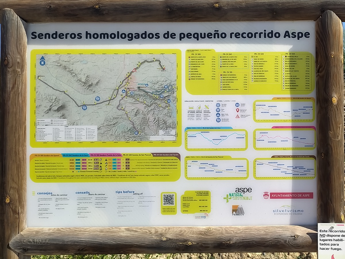
PR-CV 444 SENDERO DEL TARAFA

Promoter: Ayuntamiento de Aspe

Certification status: Conditioned quality control

0 reviews

Following the inspection carried out by trail technicians, this trail has been declared of "limited adequacy" as a result of the faults detected in the signage. These include inadequate horizontal signs (paint markers) and/or vertical ones (trailheads and information boards) or lacking direction markers that do not provide sufficient information to properly follow the route. The builder of this trail has been informed of the situation.
For safety reasons and during maintenance work, it is advised to be extremely careful while taking this route. Furthermore, mountain sports entail risks associated with the activity itself and the environment where they take place, for which any person is fully liable. For this reason, hikes need to be planned properly and adequate training, equipment and sensible use of the trails are required.

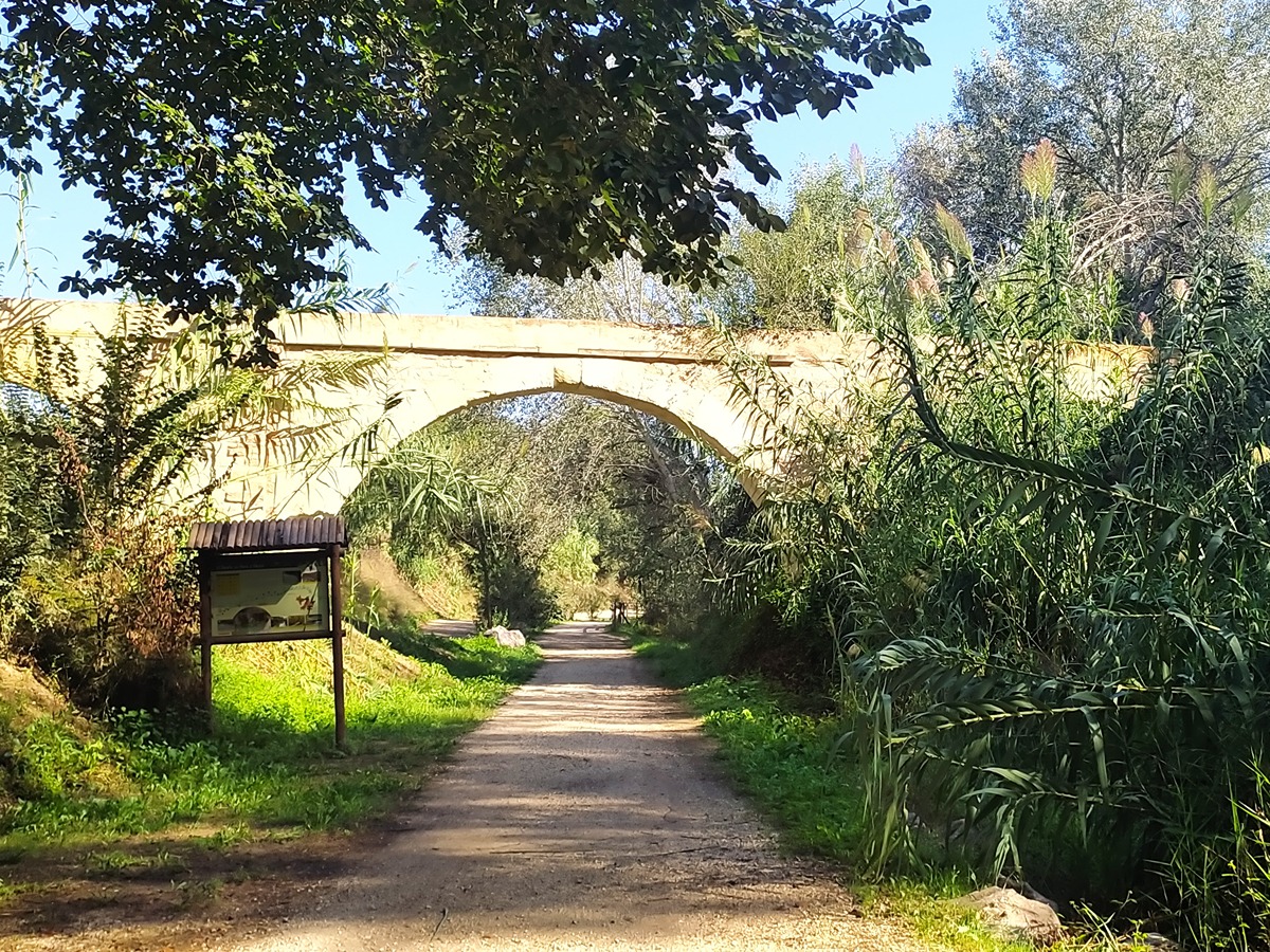
This trail crosses the municipality of Aspe from west to east and at the same time it allows you to discover the fluvial system of the Tarafa river.

Trail:
One way (point-to-point)
Technical data:
Length:
14,60 km
Estimated walking time:
03:55:00
Elevation gain:
45 m
Elevation loss:
215 m
MIDE ratings:
Level of natural risks:
1
Navigation on the trail:
2
Hiking difficulty:
2
Fitness level needed:
3

More information on Montaña Segura

Difficulty rating according to FEDME:
Unknown
Useful information:
Date of certification:
15-05-2016
Date of the last Quality Control:
october de 2023
Reference municipality:
District:
Province:
Alicante/Alacant
Cartography IGN MTN25:
0871-3; 0893-1; 0870-4

Downloadable from the Catalogue of the IGN Map Library

See other trails of this promoter:
Key points of the route:

Camino Rollo (path) - Detour to aljibe de los Moros (cistern) - Recreation area- Hondo de las Fuentes (park) - Rambla del río Tafara (wadi) (San Pascual y Quincoces road)

Route description (only available in Spanish)

El punto de inicio del sendero limita con el término de la Romana en el camino del Rollo. El recorrido continúa por el camino aljibe de los Moros desde donde se puede visitar la infraestructura hidráulica restaurada de origen árabe que da nombre al camino.

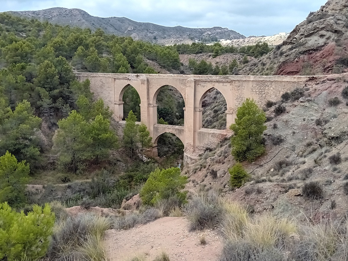
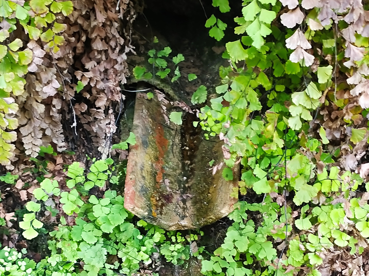
El camino Viejo de Hondón es el siguiente del recorrido, y es la vía utilizada en la romería de la Virgen de las Nieves, patrona del municipio. Llegamos a la primera área de descanso y el itinerario continúa por la senda hasta la segunda área de descanso junto al camino sierra de Ors, volviendo al cauce al cruzar el camino del Tolomó Bajo. Destaca la canal de Hierro (s. XIX), construida el año en que se inauguró la torre Eiffel.

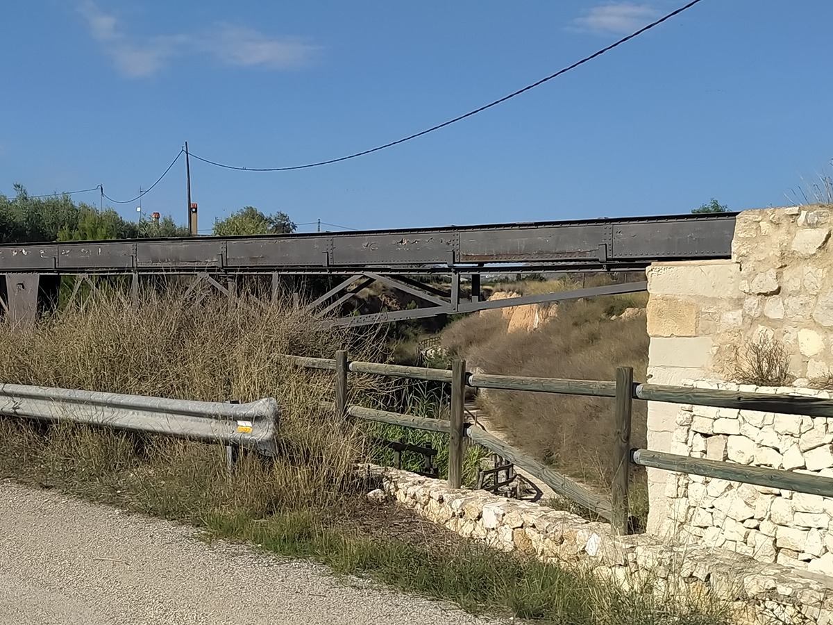
El itinerario sigue por la rambla, pasa el túnel de la carretera CV-84 de Elche y llega al Hondo de las Fuentes. El trazado cruza la carretera CV-846 de la Romana y sigue por el cauce hasta la Rafica, donde existen dos azudes o “rafas” construidos en el s. XIX.

El recorrido sigue paralelo al río donde, aguas abajo de la depuradora de Aspe, se ubica la rafa de Perceval (s. XIX), azud construido para aprovechar las aguas del río para riego. El tramo final, hasta el paraje de Quincoces, aún presenta algunas ruinas de los molinos harineros entre los que destaca el de Meseguera.

Downloads:

Beware! Navigation devices may fail, batteries may run out of power and devices may break down. Do not use only electronic means to track your activities in the mountains; they must be used as a complement to the map and compass. Get some proper training and enjoy the mountains.

Other trails connecting with this trail