Rate this trail

PR-CV 244 COLLET DELS CASTELLANS

Promoter: Ayuntamiento de Todolella

Certification status: No quality controls

0 reviews

There is no proof of quality control on the record of this trail in the last years. For this reason, it is unknown whether it complies with the optimal signage and maintenance conditions for hikers to take the trail following these signs exclusively.
Hikers have to take into consideration that the information about the signage and maintenance of the trails for which the promoter entity is responsible might not be up to date anymore, since it refers to its state on the date of its approval. Furthermore, mountain sports entail risks associated with the activity itself and the environment where they take place, for which any person is fully liable. For this reason, hikes need to be planned properly and adequate training, equipment and sensible use of the trails are required.

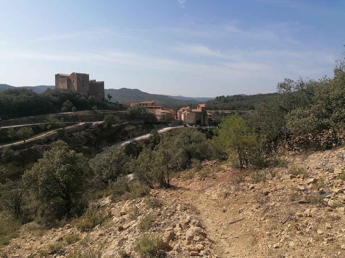
From Todolella, together with the GR 331 "Camí de Conquesta" trail, you will follow the old transhumance paths to the upper part of the Todolella butte, which constitutes the territorial limit with the province of Teruel. You can then access the PR-CV 228 trail, along which you can complete a beautiful circular route.

Trail:
One way (point-to-point)
Technical data:
Length:
8,30 km
Estimated walking time:
02:50:00
Elevation gain:
495 m
Elevation loss:
175 m
MIDE ratings:
Level of natural risks:
2
Navigation on the trail:
2
Hiking difficulty:
2
Fitness level needed:
2

More information on Montaña Segura

Difficulty rating according to FEDME:
Unknown
Starting point:
Useful information:
Date of certification:
21-10-2005
Date of the act of registration in the Public Register:
20-02-2008
Reference municipality:
District:
Province:
Castellón/Castelló
Cartography IGN MTN25:
0519-4; 0544-2

Downloadable from the Catalogue of the IGN Map Library

See other trails of this promoter:
Key points of the route:

Todolella - Collet de les Ombrietes (coll) (Peiró de santa Bàrbera) (wayside cross) - Peiró de Sant Pere (wayside cross) - Pista del Mas de la Mola (track) - Barranc de Forner (ravine) - Mola de la Todolella (butte) (PR-CV 228 connection)

Route description (only available in Spanish)

Salimos de Todolella por la CV 122 en dirección a Olocau del Rey para a los pocos metros bajar a la Font del Xorret, dejando el PR-CV 228 y siguiendo el GR 331. Remontamos el Azagador del Camino de Olocau del Rey y cruzamos la carretera. Dejamos la entrada al mas de Cinctorrà y seguimos subiendo por el azagador hasta la Lloma del Castellans y el collado del mismo nombre, de nuevo en la carretera. Dejamos el Peiró de Santa Bàrbera y seguimos el cordal de la sierra. Pasamos por el Peiró de Sant Pere y más adelante giramos a la derecha por el azagador del Barranc del Forner que nos lleva a la pista del mas de la Mola, en la entrada del parque eólico. El GR 331 sigue la pista por la izquierda y nosotros seguimos recto remontando el Barranc de Forner hasta la pista del parque eólico que tomaremos a la derecha para seguir un tramo y coger una senda que va paralela a la misma hasta la Mola de la Todolella y enlazar con el PR-CV 228.

Downloads:

Beware! Navigation devices may fail, batteries may run out of power and devices may break down. Do not use only electronic means to track your activities in the mountains; they must be used as a complement to the map and compass. Get some proper training and enjoy the mountains.

Other trails connecting with this trail