
PR-CV 269 SENDERO DEL VENTÓS
Promoter: Ayuntamiento de Agost
Certification status: Positive quality control
0 reviews
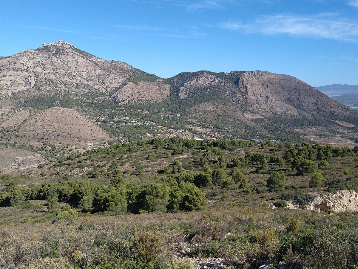
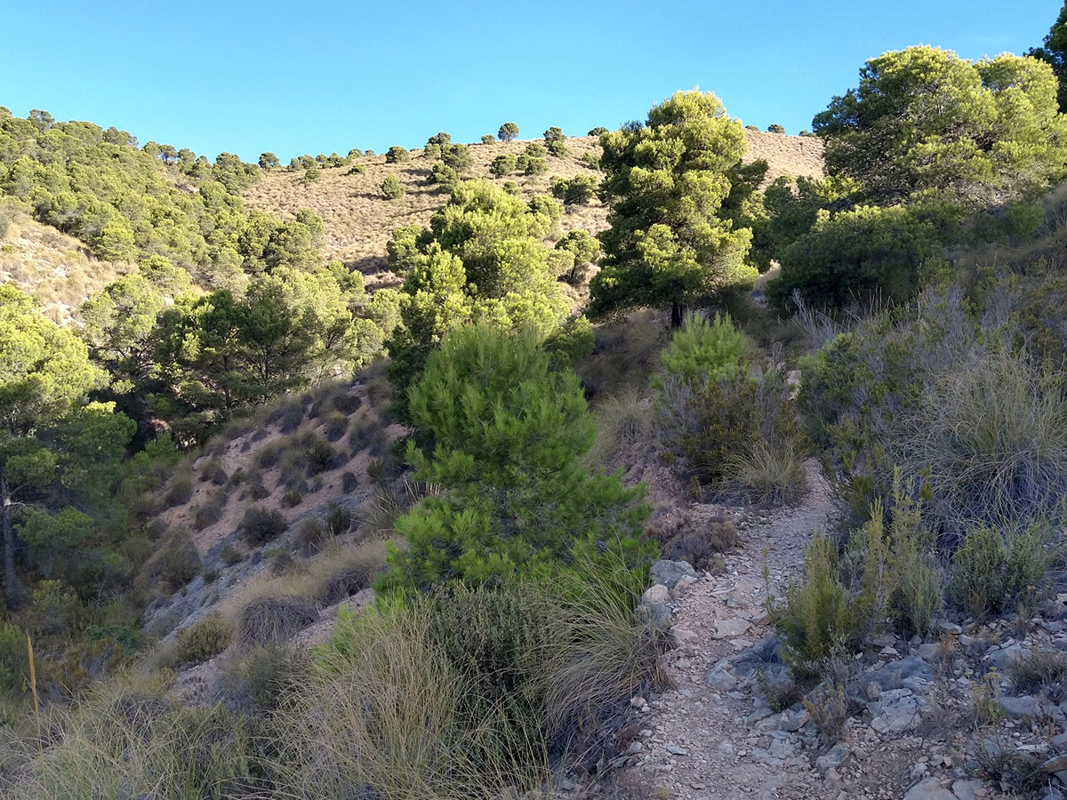
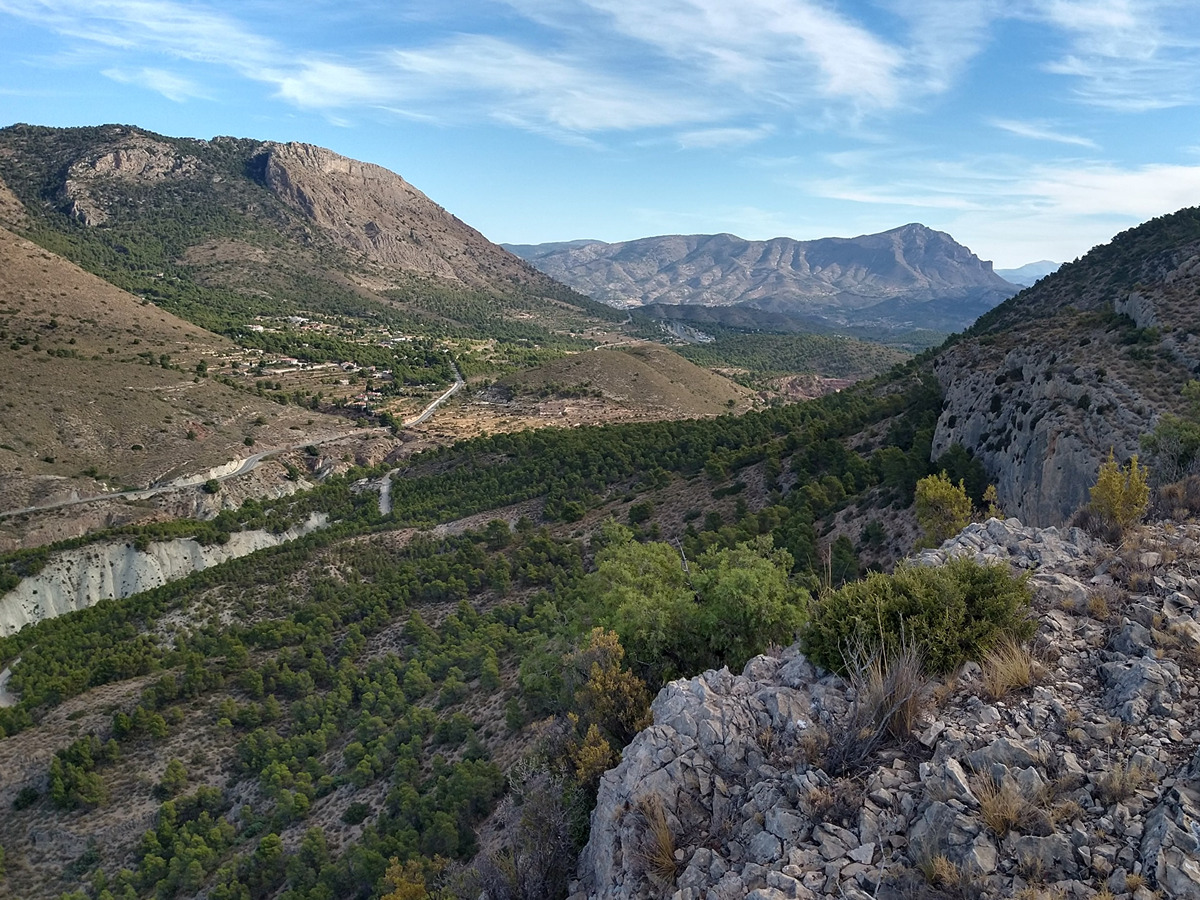
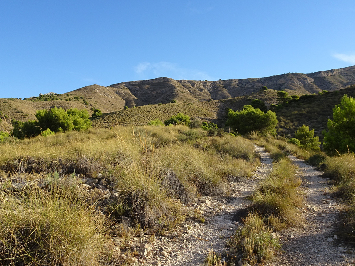
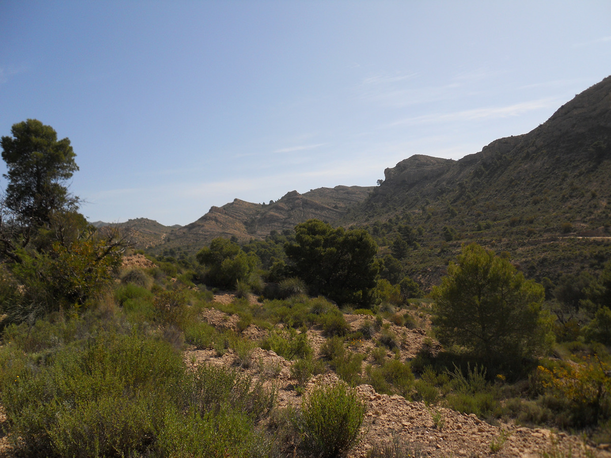
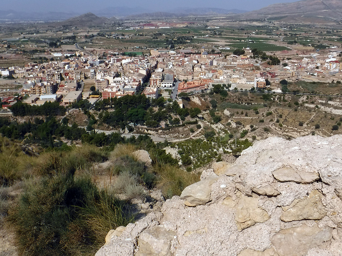
This trail starts in the town of Agost and takes you to the southern part of the Ventós mountain range, passing through cattle tracks and old terraced farming areas until you reach the summit, from where you can enjoy a vast and beautiful panorama.
Trail:
Loop with some overlapping out and back sections
Alternative routes and routes leading to nearby points of interest

PR-CV 269.1 VARIANTE SENDERO DEL VENTÓS
Promoter: Ayuntamiento de Agost
Certification status: Positive quality control
Reference municipality: Agost
Length: 1,80 km
Estimated walking time: 00:35:00
Elevation gain: 140 m
Elevation loss: 5 m
(1)
Other trails connecting with this trail
PR-CV 189 EL BARRANC DE BERLANDÍ - LA MURTA
Promoter: Ayuntamiento de Agost
Certification status: Positive quality control
Reference municipality: Agost
Length: 9,20 km
Estimated walking time: 02:50:00
Elevation gain: 330 m
Elevation loss: 330 m
(0)
PR-CV 274 LA CREUETA DELS CASTELLANS
Promoter: Ayuntamiento de Agost
Certification status: Positive quality control
Reference municipality: Agost
Length: 6,50 km
Estimated walking time: 02:10:00
Elevation gain: 275 m
Elevation loss: 275 m
(0)
PR-CV 430 SENDERO GEOLOGICO
Promoter: Ayuntamiento de Agost
Certification status: No quality controls
Reference municipality: Agost
Length: 16,00 km
Estimated walking time: 05:15:00
Elevation gain: 590 m
Elevation loss: 590 m
(1)