Rate this trail

PR-CV 189 EL BARRANC DE BERLANDÍ - LA MURTA

Promoter: Ayuntamiento de Agost

Certification status: Positive quality control

0 reviews

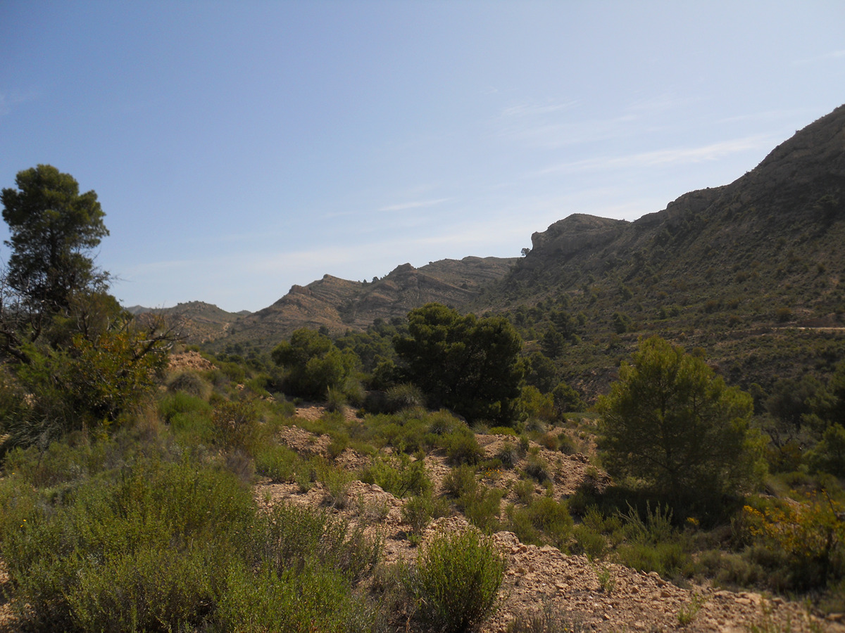
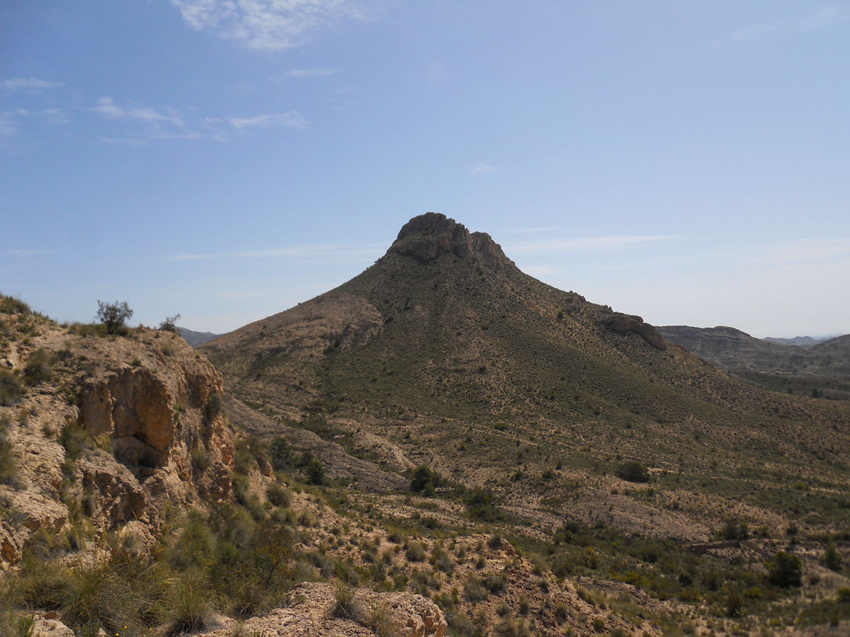
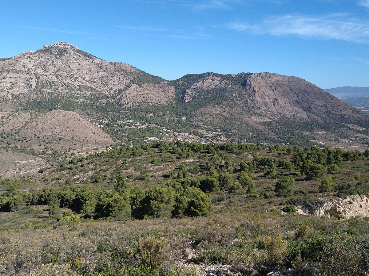
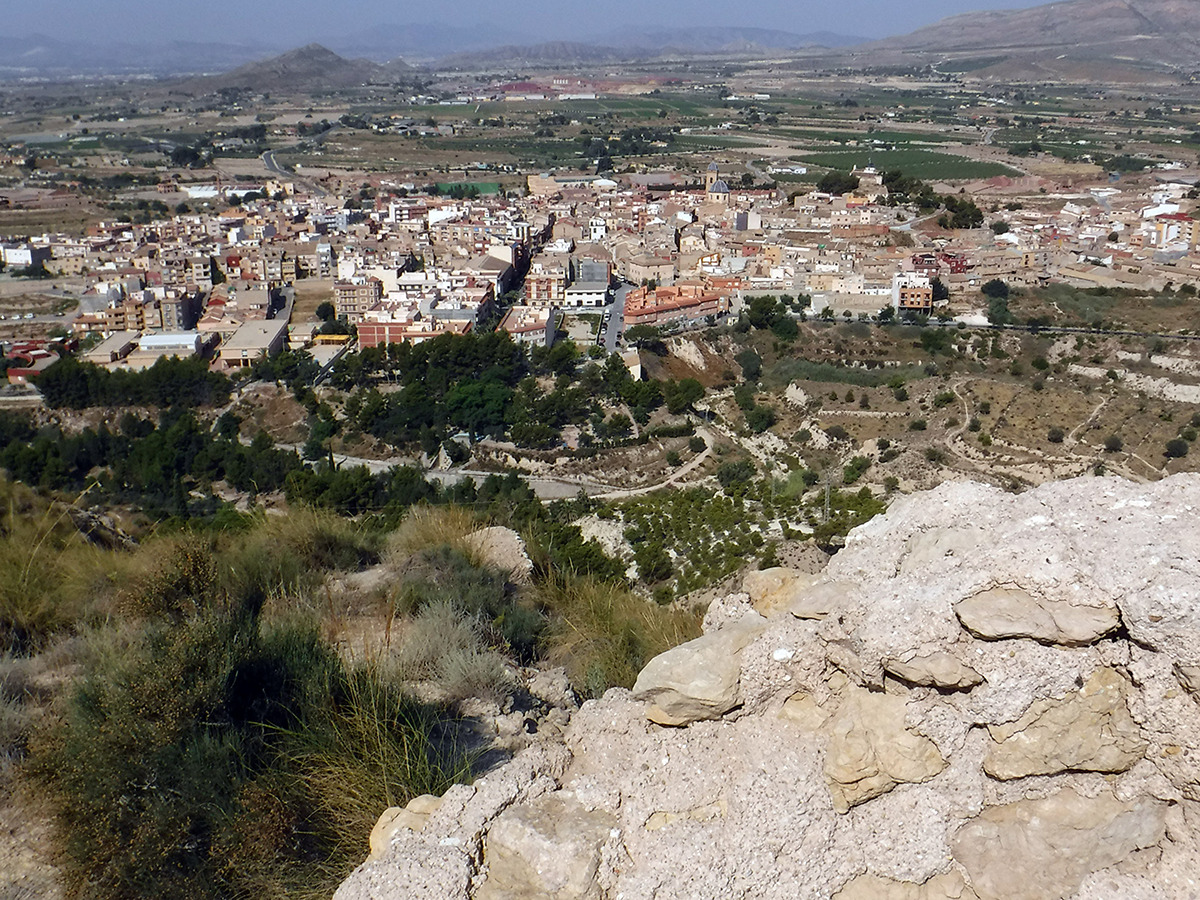
Circular route that takes you to the base of the Murta castle, an ancient Arab construction next to the Ventós and Castelar mountain ranges.

Trail:
Loop
Technical data:
Length:
9,20 km
Estimated walking time:
02:50:00
Elevation gain:
330 m
Elevation loss:
330 m
MIDE ratings:
Level of natural risks:
2
Navigation on the trail:
2
Hiking difficulty:
2
Fitness level needed:
2

More information on Montaña Segura

Difficulty rating according to FEDME:
Unknown
Starting point:
Useful information:
Date of certification:
15-11-2001
Date of the act of registration in the Public Register:
22-05-2007
Date of the last Quality Control:
may de 2022
Reference municipality:
District:
Province:
Alicante/Alacant
Cartography IGN MTN25:
0871-2

Downloadable from the Catalogue of the IGN Map Library

See other trails of this promoter:
Key points of the route:

Agost - Parque Rugló (park) - Carrasca Centenaria Agustí (hundred-year-old kermes oak) - Primer Collado (col) - Segundo Collado (col) - Collado La Murta (col) - La Murta - Margen Tía Isabel (mountain side) - Tabaires - Agost

Route description (only available in Spanish)

Nos dirigiremos por tramo urbano hasta el parque Concepción Vicedo por la avenida de Alcoy. Desde aquí abandonamos este corto tramo urbano para llegar al parque el Rugló. Desde aquí por una pista que sale a nuestra derecha (S) llegaremos a un sendero que que tomaremos a la izquierda (E) rodeando las lomas del Rugló pasando por la carrasca centenaria de Agustí. Seguimos este sendero ascendiendo poco a poco en sucesión por un primer y segundo collado, donde el sendero se separa del PR-CV 274. Seguiremos recto (NE) hasta llegar al collado de la Murta, punto al que volveremos para regresar de nuevo a Agost. En este collado seguiremos a la derecha (E) para ir rodeando la mole piramidal de la Murta, hasta llegar a la base del castellet de la Murta. Una vez que llegamos al final del sendero, en la base del Castellet, deshacemos nuestros pasos hasta el collado de la Murta, donde la ruta de regreso nos lleva descendiendo por un barranco (O) hasta llegar a una pista que cogemos a mano izquierda (SO). Enseguida nos encontramos un sendero a la izquierda (SO) que cogeremos, para pasar por el marge de la Tia Isabel y el paraje de Tabaires. Continuando por el barranco al poco llegaremos a una pista que cogeremos a la izquierda (S) que nos llevará al parque Rugló y ya por las calles de la localidad hasta el inicio del sendero.

Downloads:

Beware! Navigation devices may fail, batteries may run out of power and devices may break down. Do not use only electronic means to track your activities in the mountains; they must be used as a complement to the map and compass. Get some proper training and enjoy the mountains.

Other trails connecting with this trail