ES / EN / VA

Rate this trail

PR-CV 28 XORRET DE CATÍ - DESPEÑADOR

Promoter: Ayuntamiento de Castalla

Certification status: Conditioned quality control

0 reviews

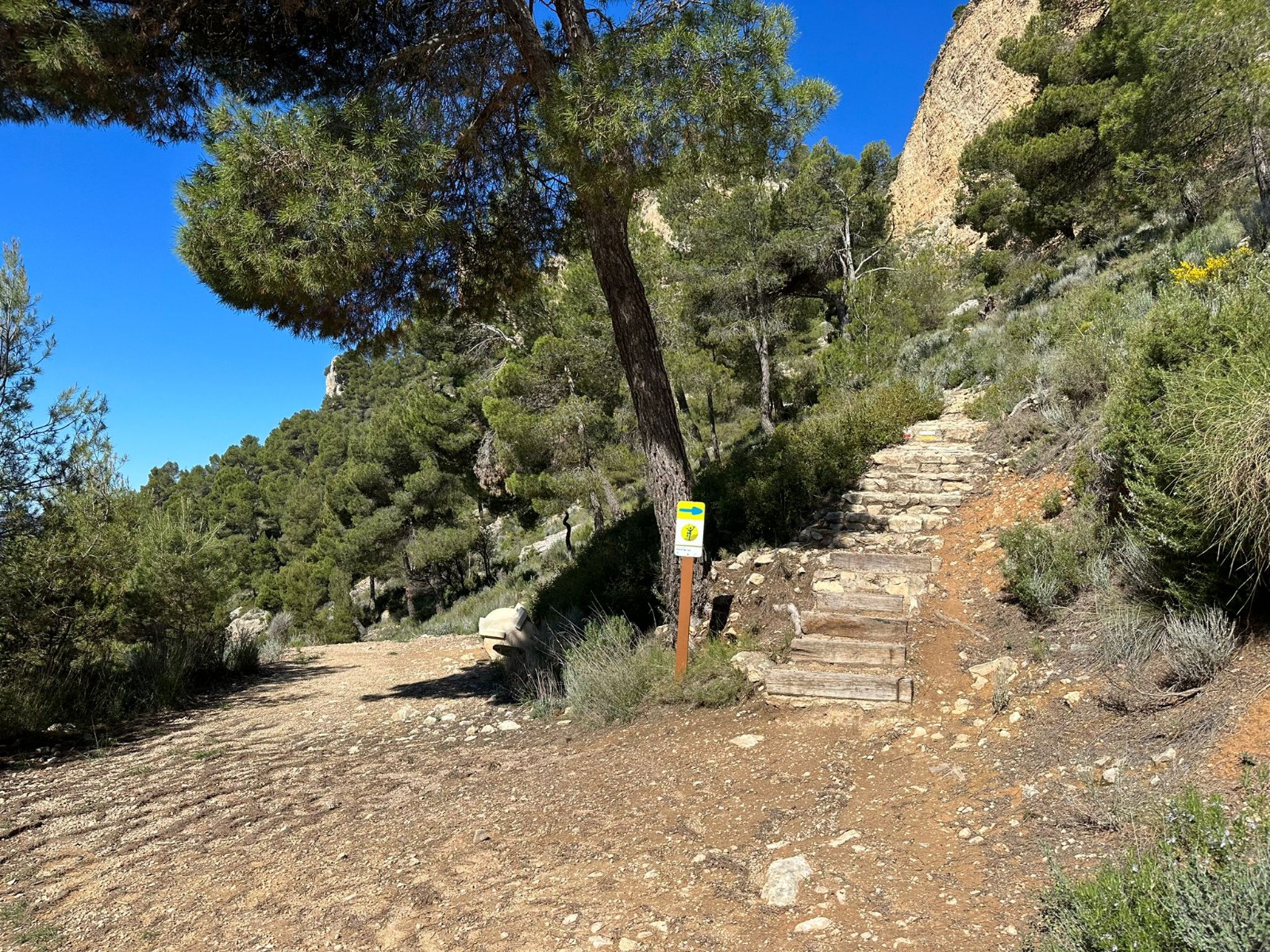
Following the inspection carried out by trail technicians, this trail has been declared of "limited adequacy" as a result of the faults detected in the signage. These include inadequate horizontal signs (paint markers) and/or vertical ones (trailheads and information boards) or lacking direction markers that do not provide sufficient information to properly follow the route. The builder of this trail has been informed of the situation.
For safety reasons and during maintenance work, it is advised to be extremely careful while taking this route. Furthermore, mountain sports entail risks associated with the activity itself and the environment where they take place, for which any person is fully liable. For this reason, hikes need to be planned properly and adequate training, equipment and sensible use of the trails are required.

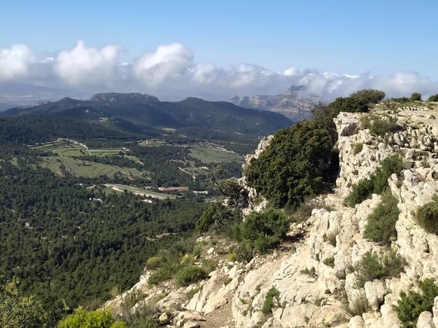
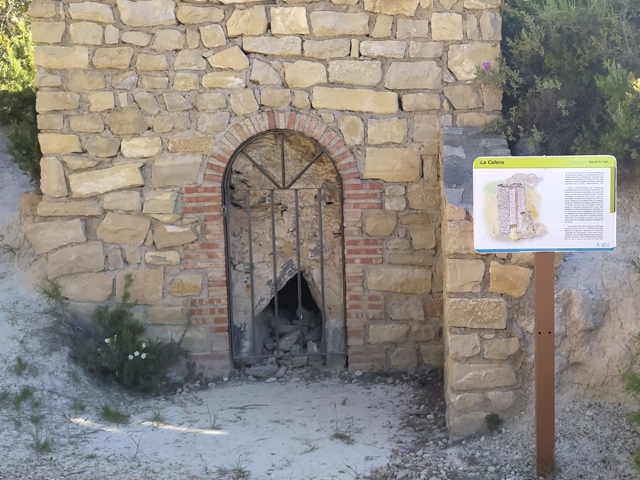
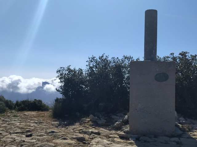
The PR-CV 28 trail will take you along a wide tracks and paths to discover how lime was made in old wood-fired kilns, culminating at the summit of Despeñador, where you can enjoy the views, such as the Foia de Castalla and nearby peaks: Reconco, Menejador, Biscoy and Replana.

Trail:
One way (point-to-point)
Technical data:
Length:
3,40 km
Estimated walking time:
01:25:00
Elevation gain:
375 m
Elevation loss:
25 m
MIDE ratings:
Level of natural risks:
2
Navigation on the trail:
2
Hiking difficulty:
1
Fitness level needed:
2

More information on Montaña Segura

Difficulty rating according to FEDME:
Unknown
Starting point:
End Point:
Useful information:
Date of certification:
15-09-1995
Date of the act of registration in the Public Register:
22-05-2007
Date of the last Quality Control:
june de 2021
Reference municipality:
District:
Province:
Alicante/Alacant
Cartography IGN MTN25:
0846-4

Downloadable from the Catalogue of the IGN Map Library

See other trails of this promoter:
Protected Natural Spaces:

We advise you to look up the regulations and/or authorisations for using the trails in these conservation areas on the website of the Conselleria de Medio Ambiente, Agua, Infraestructuras y Territorio

  • Maigmó y Sierras de la Foia de Castalla (SIC - Site of Community Interest)
  • Maigmó y Sierras de la Foia de Castalla (SPAB - Special Protection Area for Birds)
Key points of the route:

Xorret de Catí (spring) - Viewpoint detour and camping-refuge area - Camping-refuge area - Collado del Portell (col) - road from Petrer to Castalla - col before the summit - Cumbre del Despeñador (summit)

Route description (only available in Spanish)

Saliendo desde el parking del Hotel Xorret de Catí recorreremos unos 150 metros por asfalto hacia la derecha. Al llegar a la primera bifurcación, veremos información del mirador del Xorret de Catí y del sendero PR-CV 32, que deberemos seguir.

Siguiendo la pista principal llegaremos a la bifurcación de subida al mirador del Xorret de Catí y a la salida de nuestro recorrido del PR-CV 32, nosotros deberemos seguir rectos para legar en poco tiempo a la zona de acampada y refugios de la Diputación de Alicante. Al llegar a la zona de acampada, divisaremos a nuestra izquierda las primeras cabañas y poco después el horno de yeso restaurado.

Seguiremos por un tramo de cemento y en fuerte pendiente. Justo al acabar el cemento la pista se bifurca y giraremos a la izquierda (W). Por unos metros seguiremos y luego cambiaremos hacia la derecha (N/E) y seguiremos hasta llegar a la carretera de Petrel a Castilla.

Tras unos 150 m llegaremos al Collado del Portell desde donde sale el único tramo de sendero hasta la cumbre del Despeñador, en muy fuerte pendiente en algunos tramos y rodeados siempre por pinos, carrascas y aliagas. Tras llegar al collado del Despeñador tomaremos dirección NE, a nuestra derecha, primero por un tramo de senda bien definido y luego por zona de roca, hasta llegar a la cumbre del Despenyador 1264 m, máxima cota del recorrido.

Downloads:

Beware! Navigation devices may fail, batteries may run out of power and devices may break down. Do not use only electronic means to track your activities in the mountains; they must be used as a complement to the map and compass. Get some proper training and enjoy the mountains.

Other trails connecting with this trail