
PR-CV 32 XORRET DE CATÍ - CRESTERÍA DEL FRAILE
Promoter: Diputación de Alicante
Certification status: Positive quality control
0 reviews
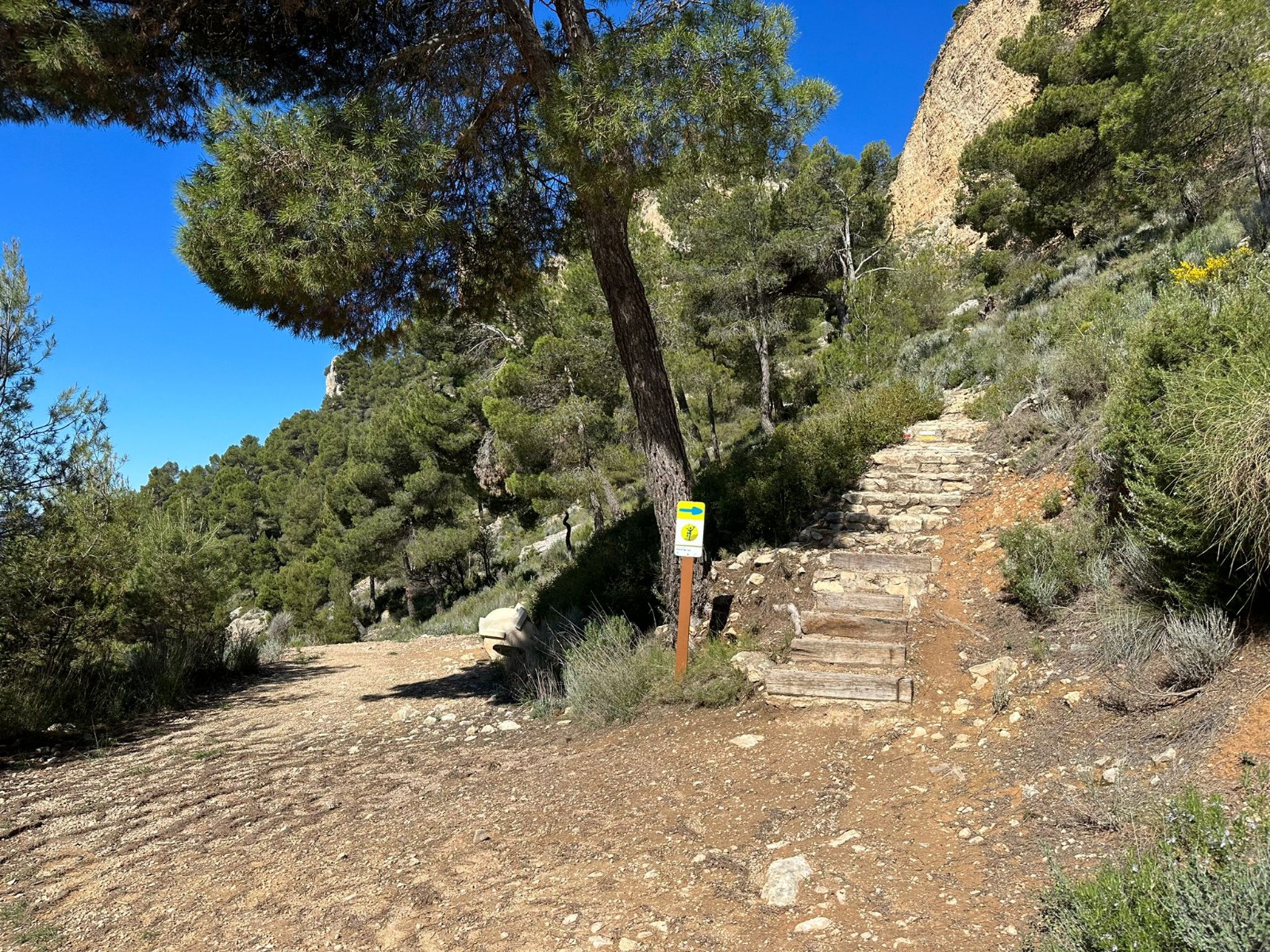
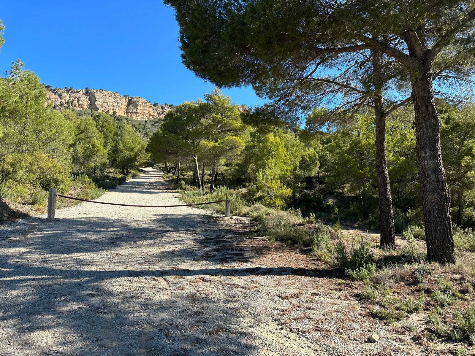
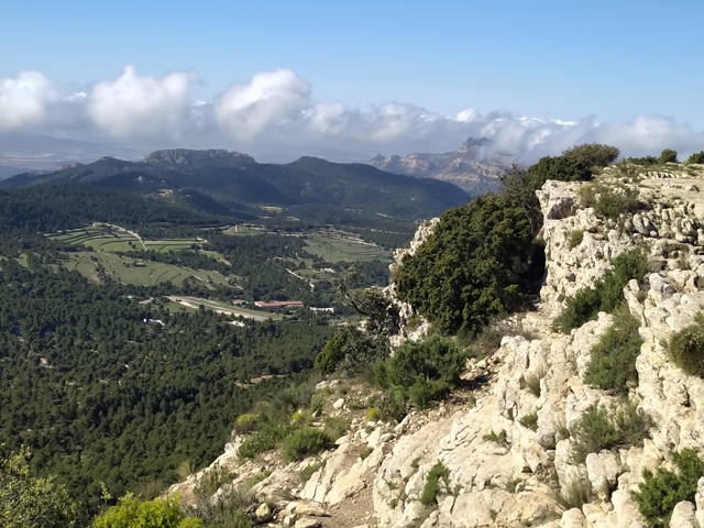
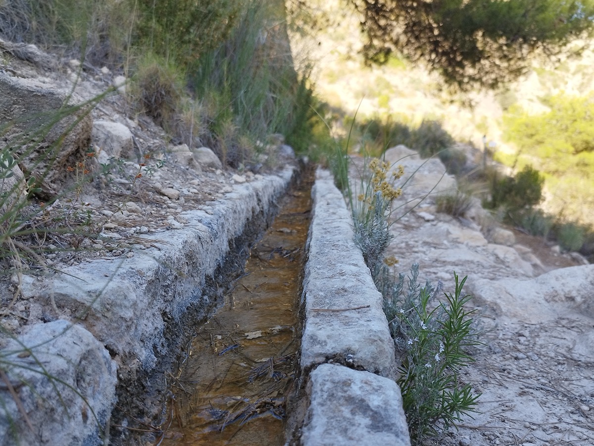
Within the Protected Area of the Maigmó and the Sit mountain ranges you find this path that runs along the entire Fraile ridge offering stunning views of the wonderful surroundings of Xorret de Cat and Maigmó. It is a fully mountainous area with spectacular and large rocky cliffs all throughout the itinerary.
Trail:
One way (point-to-point)
Other trails connecting with this trail
PR-CV 28 XORRET DE CATÍ - DESPEÑADOR
Promoter: Ayuntamiento de Castalla
Certification status: Conditioned quality control
Reference municipality: Castalla
Length: 3,40 km
Estimated walking time: 01:25:00
Elevation gain: 375 m
Elevation loss: 25 m
(0)
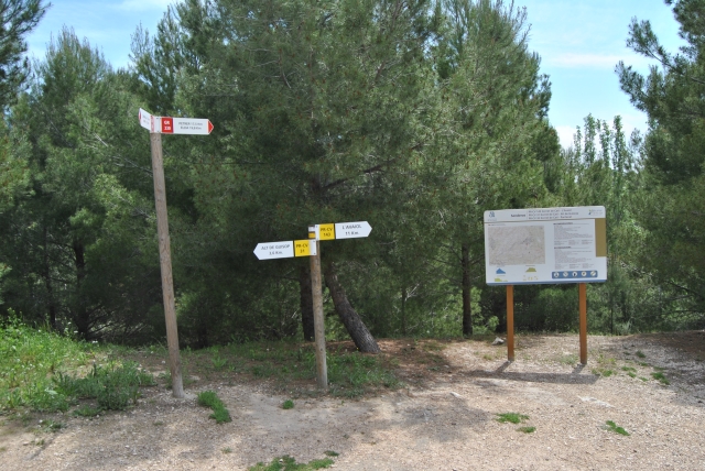
PR-CV 31 XORRET DE CATÍ - ALT DE GUISOP
Promoter: Diputación de Alicante
Certification status: Positive quality control
Reference municipality: Castalla
Length: 8,80 km
Estimated walking time: 02:55:00
Elevation gain: 480 m
Elevation loss: 480 m
(0)
PR-CV 143 XORRET DE CATÍ - L´AVAIOL
Promoter: Diputación de Alicante
Certification status: Negative quality control
Reference municipality: Castalla
Length: 11,10 km
Estimated walking time: 03:20:00
Elevation gain: 155 m
Elevation loss: 400 m
(0)