Rate this trail

PR-CV 293 RUTA ÍBERA

Promoter: Ayuntamiento de Camporrobles

Certification status: Positive quality control

1 review

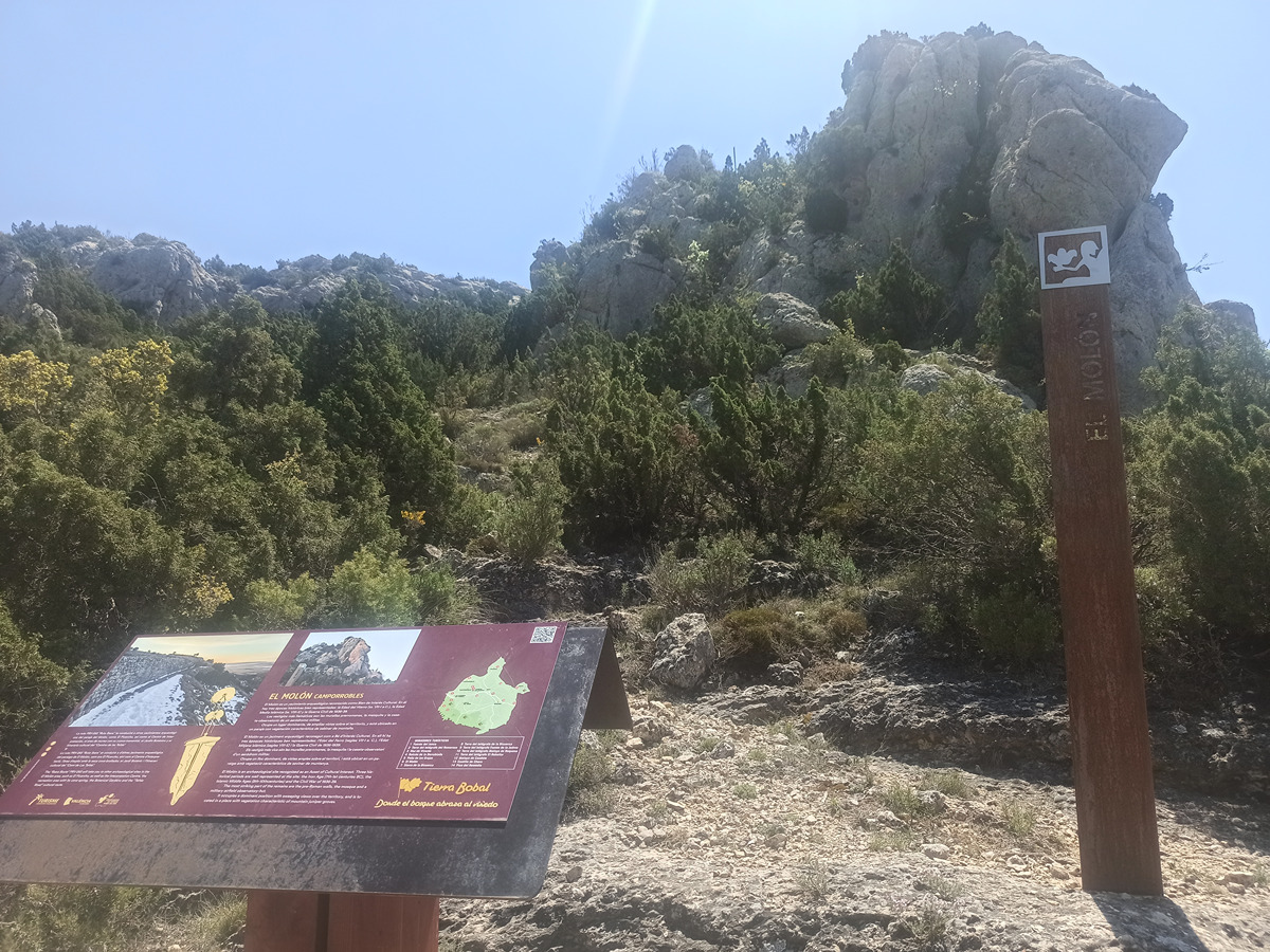
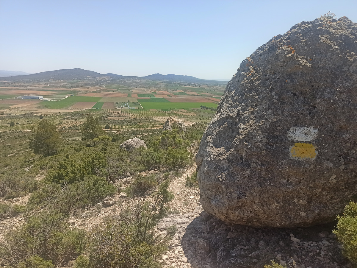
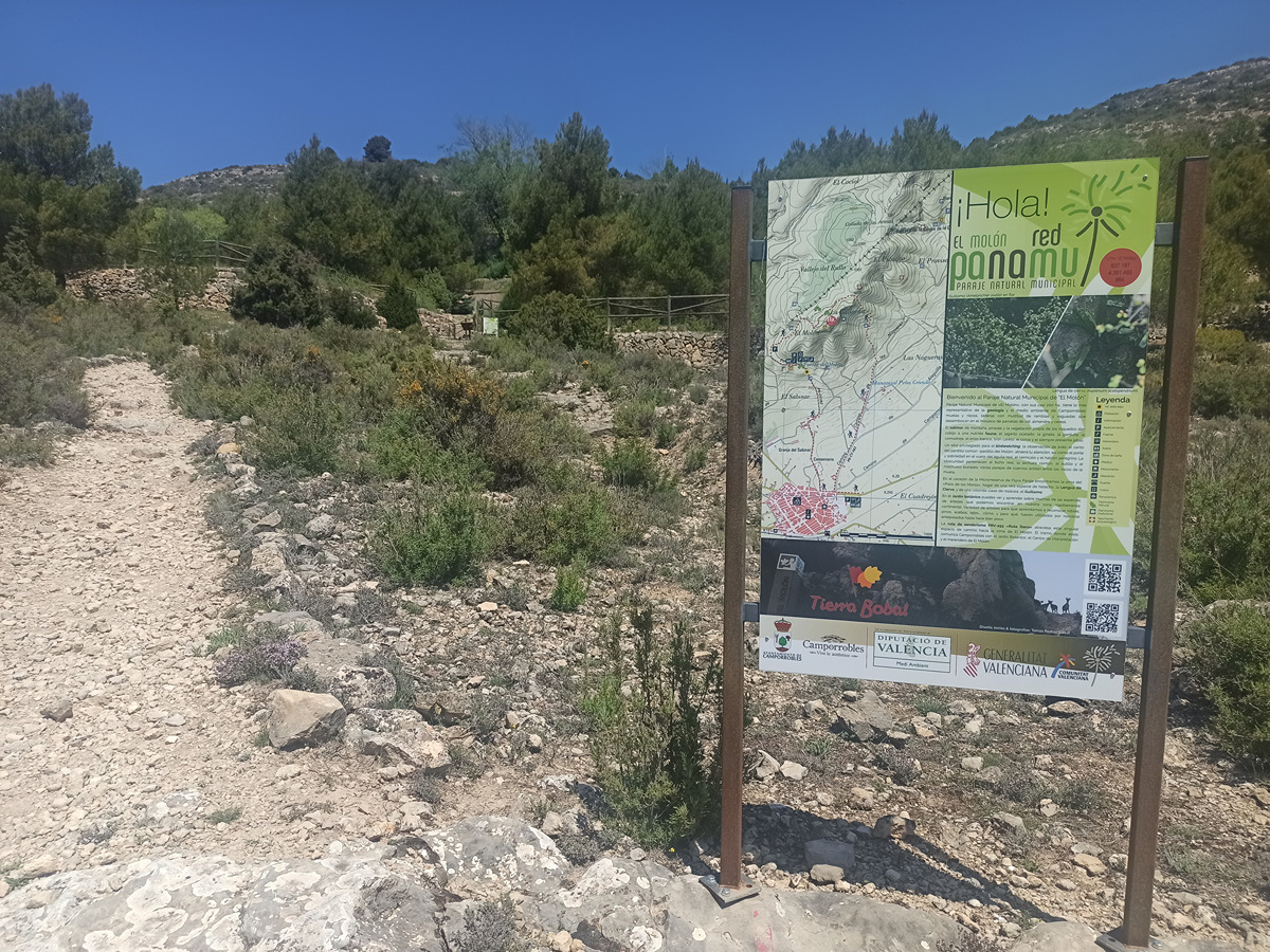
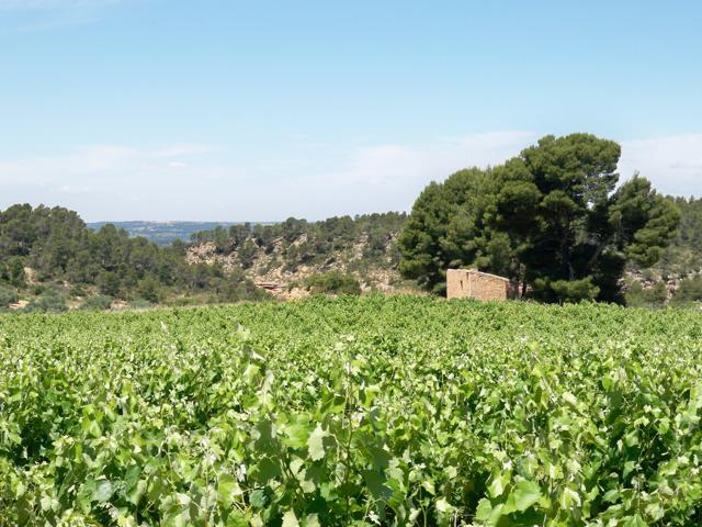
Camporrobles has a relatively flat surface, only altered by forms of relief such as the Cardete mountain (1,129 m) to the east, the Pelado mountain (1,025 m) to the south and the Molón (1,128 m) to the north. The latter belongs to the southernmost spurs of the Sierra de Mira. This route goes through the Molón Archaeological Theme Park where, in addition to the undoubted historical and archaeological points of interest, you can enjoy an environmental space of special value for its botanical uniqueness and diversity.

Trail:
Loop
Technical data:
Length:
6,80 km
Estimated walking time:
02:50:00
Elevation gain:
280 m
Elevation loss:
280 m
MIDE ratings:
Level of natural risks:
1
Navigation on the trail:
2
Hiking difficulty:
2
Fitness level needed:
2

More information on Montaña Segura

Difficulty rating according to FEDME:
Unknown
Interest Tags:
Trail with historical-artistic interest

Useful information:
Date of certification:
15-07-2004
Date of the act of registration in the Public Register:
22-05-2007
Date of the last Quality Control:
may de 2022
Reference municipality:
District:
Province:
Valencia/València
Cartography IGN MTN25:
0665-3; 0693-1

Downloadable from the Catalogue of the IGN Map Library

See other trails of this promoter:
Protected Natural Spaces:

We advise you to look up the regulations and/or authorisations for using the trails in these conservation areas on the website of the Conselleria de Medio Ambiente, Agua, Infraestructuras y Territorio

  • El Molón (Municipal Natural Site)
  • El Molón (Flora Micro-reserve)
Key points of the route:

La Balsa recreation area - Fuente del Molón (spring) - Interpretation centre - El Molón viewpoint - Totem sculpture - Archaeological site- Picarcho - Col - Corral - CV-470 - La Balsa recreation area

Route description (only available in Spanish)

Comenzamos la ruta junto al acceso al área de acampada de la Balsa por la carretera CV-470 Continuamos por la carretera o calle Utiel para desviarnos hacia la derecha hacia el cementerio. El camino se vuelve senda y pronto alcanzamos el área recreativa de la fuente del Molón y pasada esta nos encontramos el centro de interpretación del Parque Temático Arqueológico. Seguimos las indicaciones del sendero pasando por el Tótem Ofrenda. Bordeamos la parte sur - meridional del Molón por un camino desde el que podemos observar una antigua calera. Continuamos ascendiendo por una senda rota. Cruzamos la microrreserva de flora del Molón. Alcanzamos el acceso al yacimiento donde podemos observar en la roca del suelo las marcas que dejó el tránsito de los carros. La visita al yacimiento se puede realizar con la lectura de los carteles y la interpretación de los restos. Regresamos al camino y proseguimos hacia el Nordeste dirección al Picarcho, punto más septentrional de la ruta. El descenso se realiza a través de un pequeño collado por la parte oriental de la montaña siguiendo un pequeño y abierto sendero que nos conduce hasta un corral de ganado. A poca distancia tomamos el camino que nos conduce hasta la carretera CV-470, muy cerca del lugar donde iniciamos la ruta.

Downloads:

Beware! Navigation devices may fail, batteries may run out of power and devices may break down. Do not use only electronic means to track your activities in the mountains; they must be used as a complement to the map and compass. Get some proper training and enjoy the mountains.

Comments:
Video Fem Camí PR-CV 293 - Diputación de València.


Other trails connecting with this trail