Rate this trail

PR-CV 295 RUTA DEL RÍO CÉRVOL Y SUS MOLINOS

Promoter: Ayuntamiento de Canet lo Roig

Certification status: Conditioned quality control

2 reviews

Following the inspection carried out by trail technicians, this trail has been declared of "limited adequacy" as a result of the faults detected in the signage. These include inadequate horizontal signs (paint markers) and/or vertical ones (trailheads and information boards) or lacking direction markers that do not provide sufficient information to properly follow the route. The builder of this trail has been informed of the situation.
For safety reasons and during maintenance work, it is advised to be extremely careful while taking this route. Furthermore, mountain sports entail risks associated with the activity itself and the environment where they take place, for which any person is fully liable. For this reason, hikes need to be planned properly and adequate training, equipment and sensible use of the trails are required.

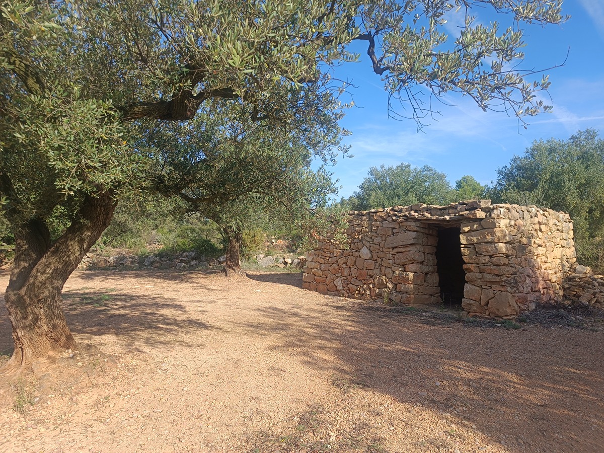
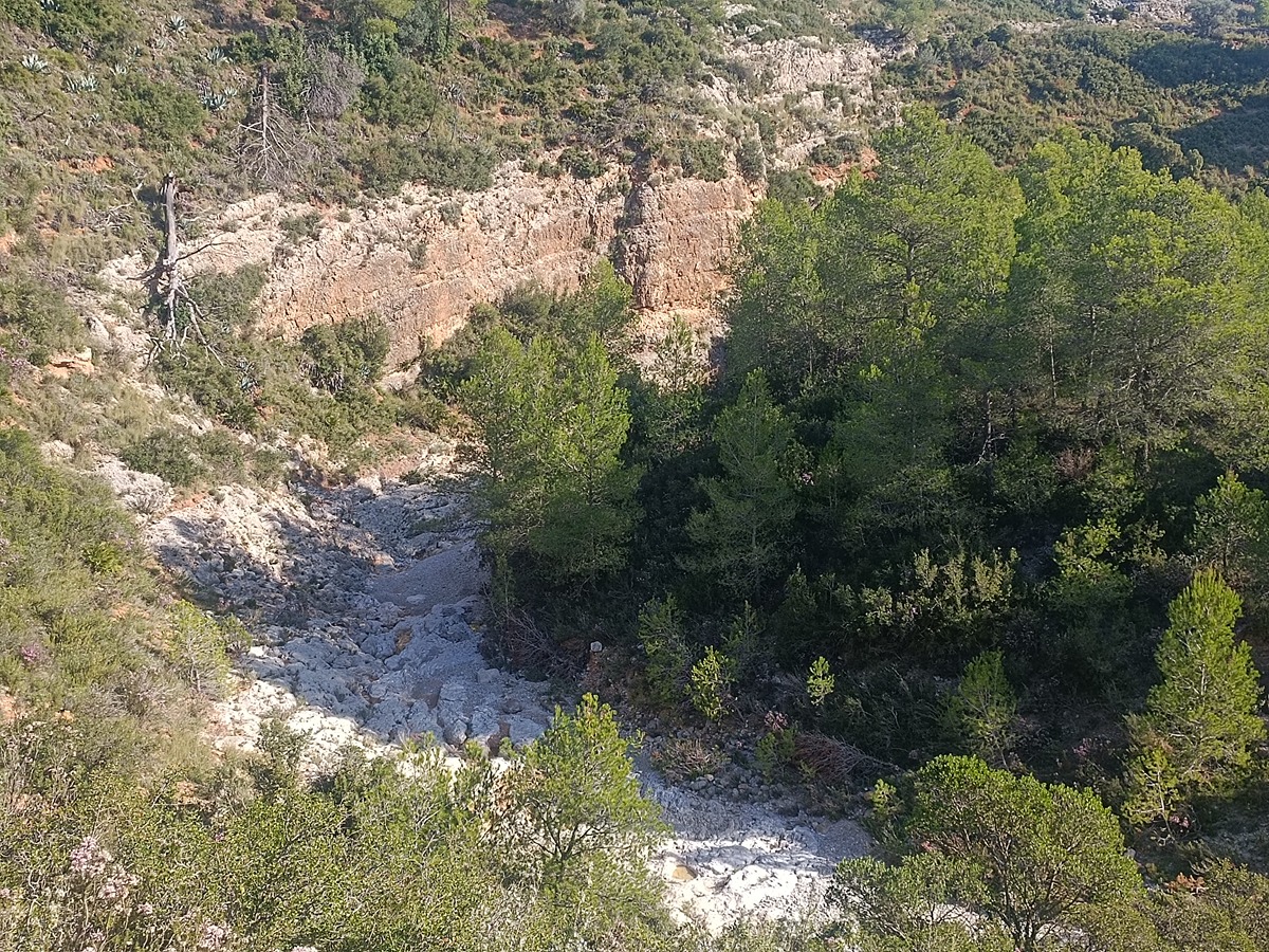
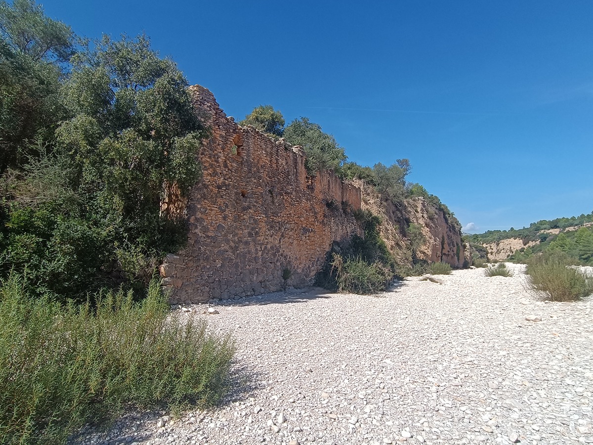
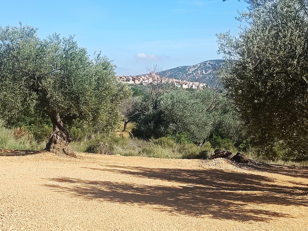
This trail runs along the bed of the Cérvol River, which usually runs dry due to the low water levels and the soil’s infiltration rate. You can also walk through the agricultural lands of Canet lo Roig, where the thousand-year-old olive trees of the farga variety are particularly interesting.

Trail:
Loop
Technical data:
Length:
14,60 km
Estimated walking time:
04:10:00
Elevation gain:
245 m
Elevation loss:
245 m
MIDE ratings:
Level of natural risks:
2
Navigation on the trail:
2
Hiking difficulty:
3
Fitness level needed:
3

More information on Montaña Segura

Difficulty rating according to FEDME:
Unknown
Useful information:
Date of certification:
15-11-2012
Date of the last Quality Control:
october de 2023
Reference municipality:
District:
Province:
Castellón/Castelló
Cartography IGN MTN25:
0546-3; 0546-1

Downloadable from the Catalogue of the IGN Map Library

See other trails of this promoter:
Protected Natural Spaces:

We advise you to look up the regulations and/or authorisations for using the trails in these conservation areas on the website of the Conselleria de Medio Ambiente, Agua, Infraestructuras y Territorio

  • L'Alt Maestrat, Tinença de Benifassà, Turmell i Vallibana (SPAB - Special Protection Area for Birds)
  • Tinença de Benifassà, Turmell y Vallivana (SIC - Site of Community Interest)
Key points of the route:

Canet lo Roig - Barranco de la Barcella (ravine) - Riu Cérvol (river) - Millenary olive tree "El Olivo" - Canet lo Roig

Route description (only available in Spanish)

Salimos de Canet lo Roig desde la fuente del Prigó de la Capelleta hacia el NO por el camí dels Pous i les Deveses hasta llegar al barranco de la Barcella. Después de cruzar este barranco continuamos por la pista que nos llevará al río Cérvol, a la altura del mas d'Amat. Transitaremos algo más de 4 km por el lecho de piedras del río buscando los pasos más sencillos. Al llegar al antiguo molino de Manc saldremos por el camino de la derecha. Recorreremos el camí de les Planes de Dalt y poco antes de llegar de nuevo al pueblo pasaremos junto a un olivo milenario conocido como 'El Olivo'. Continuaremos hasta Canet lo Roig.

Downloads:

Beware! Navigation devices may fail, batteries may run out of power and devices may break down. Do not use only electronic means to track your activities in the mountains; they must be used as a complement to the map and compass. Get some proper training and enjoy the mountains.

Other trails connecting with this trail