ES / EN / VA

Rate this trail

PR-CV 296 RUTA DE LA SIERRA DE SANT PERE

Promoter: Ayuntamiento de Canet lo Roig

Certification status: Conditioned quality control

2 reviews

Following the inspection carried out by trail technicians, this trail has been declared of "limited adequacy" as a result of the faults detected in the signage. These include inadequate horizontal signs (paint markers) and/or vertical ones (trailheads and information boards) or lacking direction markers that do not provide sufficient information to properly follow the route. The builder of this trail has been informed of the situation.
For safety reasons and during maintenance work, it is advised to be extremely careful while taking this route. Furthermore, mountain sports entail risks associated with the activity itself and the environment where they take place, for which any person is fully liable. For this reason, hikes need to be planned properly and adequate training, equipment and sensible use of the trails are required.

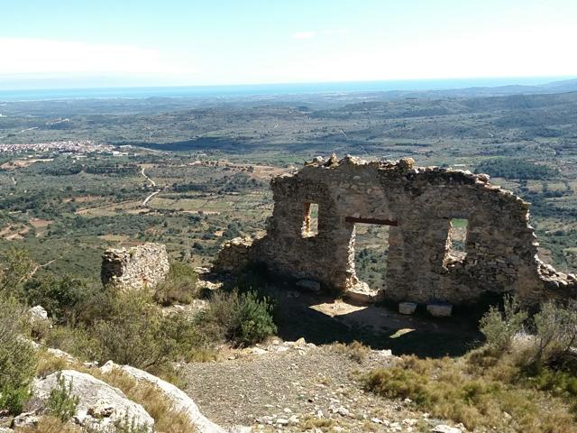
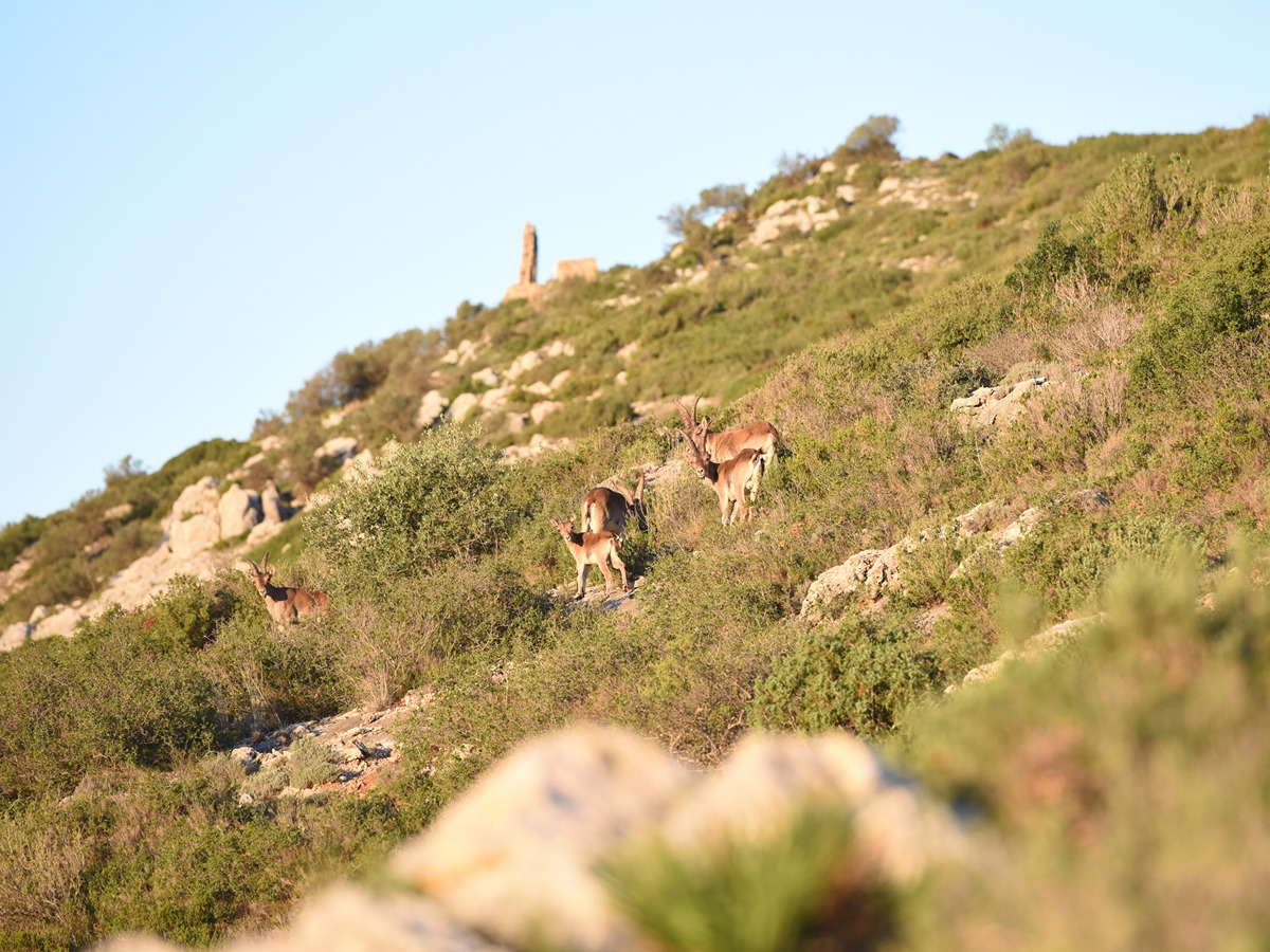
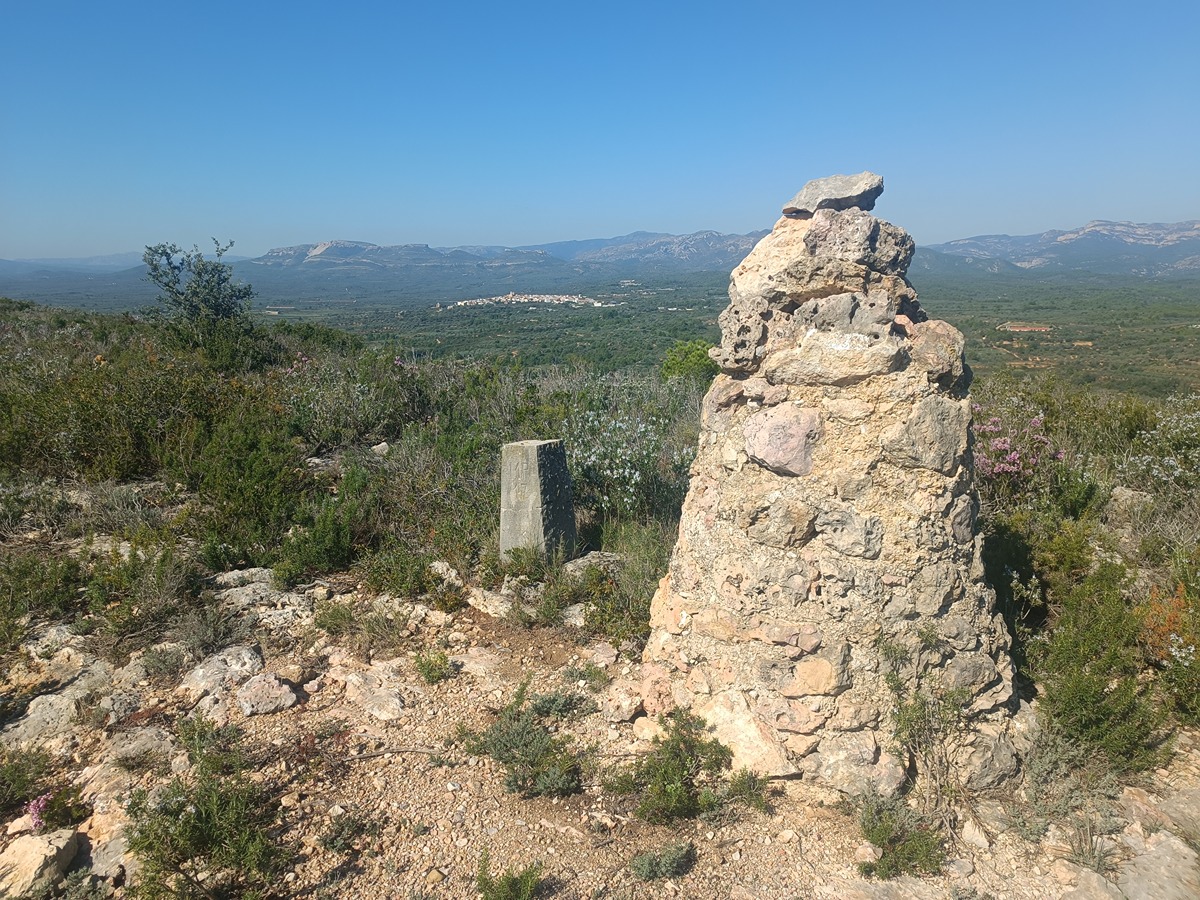
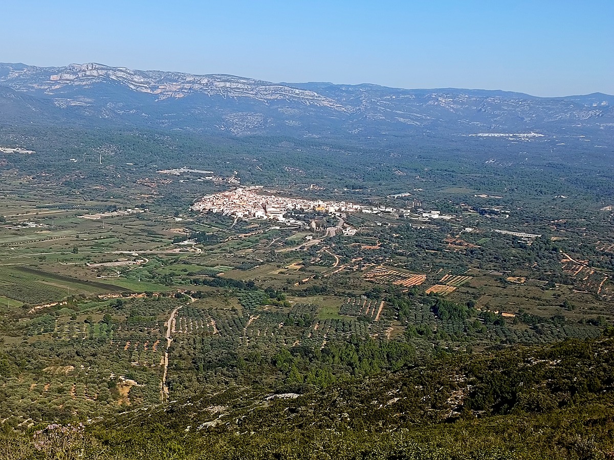
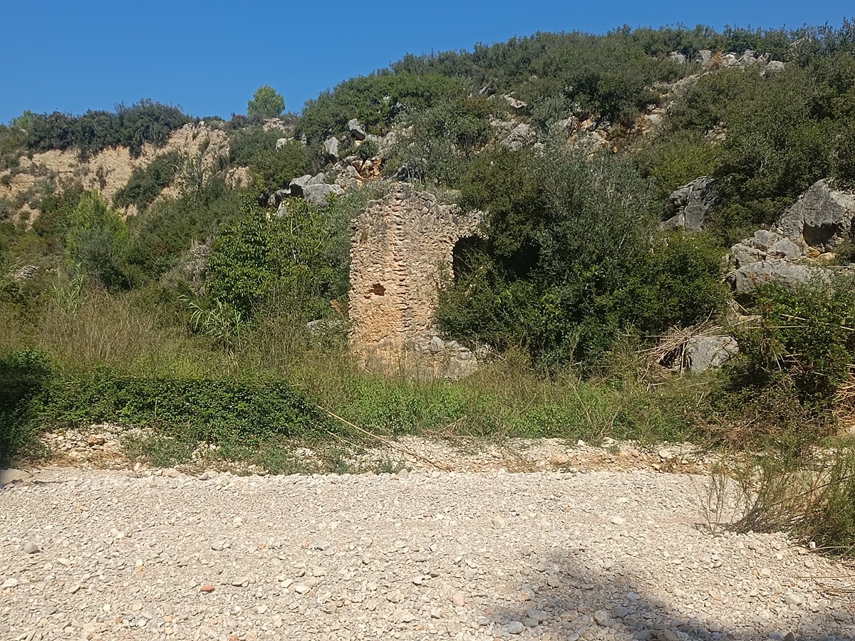
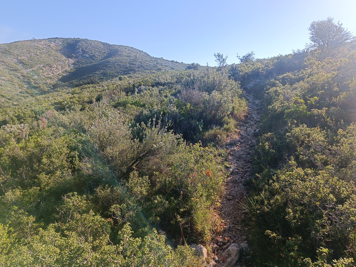
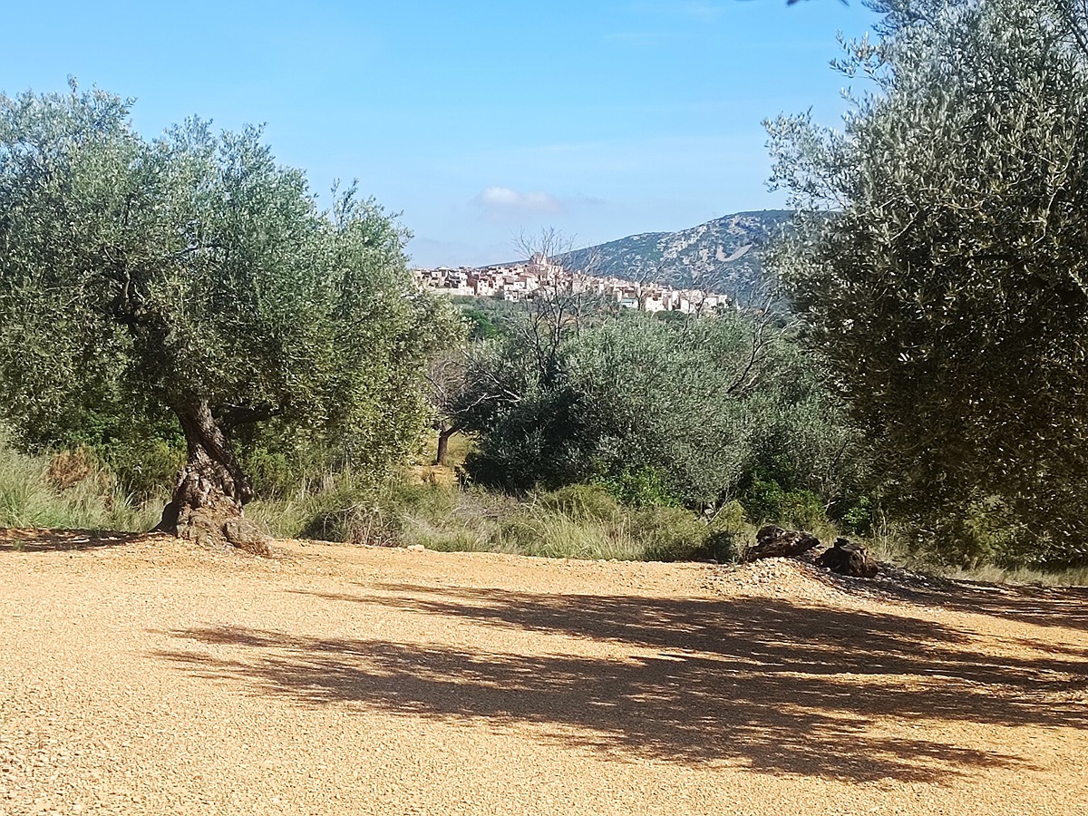
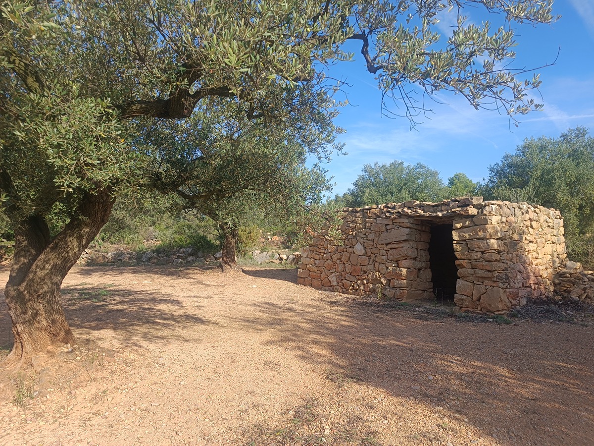
This trail runs along the crest of the Solà mountain range, also known as the Sant Pere mountain range because of the ruins of the chapel at its summit. This mountain range, which divides the municipalities of Canet lo Roig, La Jana and Traiguera, offers fantastic views of the coast of Vinaròs, the Montsià mountain range, Els Ports and, on clear days, you can even see the Columbretes Islands. You can also visit some ancient olive trees and a Roman fountain with some interesting engravings.

Trail:
Loop
Technical data:
Length:
13,50 km
Estimated walking time:
04:20:00
Elevation gain:
440 m
Elevation loss:
440 m
MIDE ratings:
Level of natural risks:
2
Navigation on the trail:
2
Hiking difficulty:
2
Fitness level needed:
3

More information on Montaña Segura

Difficulty rating according to FEDME:
Unknown
Useful information:
Date of certification:
15-11-2012
Date of the last Quality Control:
october de 2023
Reference municipality:
Otros municipios por los que transcurre:
District:
Province:
Castellón/Castelló
Cartography IGN MTN25:
0546-3

Downloadable from the Catalogue of the IGN Map Library

See other trails of this promoter:
Key points of the route:

Canet lo Roig - Font de la Roca (spring) - Coll de la Jana (col) - Ermita de Sant Pere (chapel) - Cima del Solà (peak) - Barranc del Riu de la Font de la Roca / Rio Cérvol (ravine) - Olivos milenarios (millenary olive trees) - Font de Vilagròs (spring) - Canet lo Roig

Route description (only available in Spanish)

Salimos de Canet lo Roig desde la plaza de Sant Nicolau en dirección sur y tras pasar por debajo de la carretera CV-113 llegamos a la fuente de la Roca. Continuamos caminando por la pista en dirección SO hasta que enlazamos con la senda de la izquierda que recorre toda la cresta de la sierra de Sant Pere. Pronto llegaremos al collado de la Jana donde nos juntamos por primera vez con el PR-CV 469. Continuamos por la loma hasta llegar a las ruinas de la ermita y al vértice geodésico de Sant Pere a 542 msnm. Iniciamos la bajada y al poco nos separamos del PR-CV 469. Más adelante nos volvemos a unir con este sendero y a separar definitivamente poco antes de terminar el descenso de la sierra. Tomamos una pista a la izquierda y luego una senda que nos baja hasta el punto donde el barranco del Riu de la Font de la Roca se une al río Cérvol. Subimos hasta un lugar donde se encuentran unos hermosos olivos milenarios y un poco más adelante llegamos a la fuente romana del Vilagròs. Seguimos por la pista que desemboca en la carretera de la Sénia por la que caminamos hasta llegar a Canet lo Roig.

Downloads:

Beware! Navigation devices may fail, batteries may run out of power and devices may break down. Do not use only electronic means to track your activities in the mountains; they must be used as a complement to the map and compass. Get some proper training and enjoy the mountains.

Other trails connecting with this trail