Rate this trail

PR-CV 469 VOLTA A SANT PERE

Promoter: Ayuntamiento de Traiguera

Certification status: Valid

0 reviews

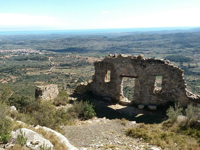
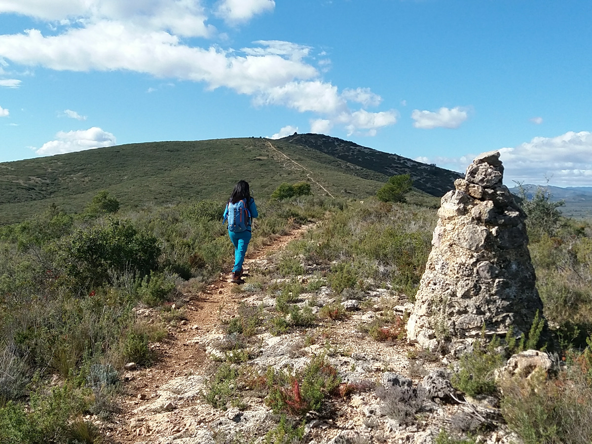
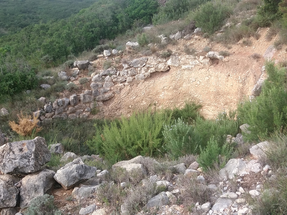
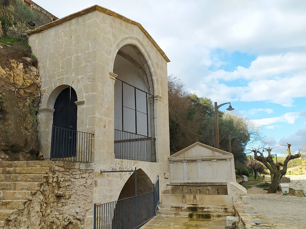
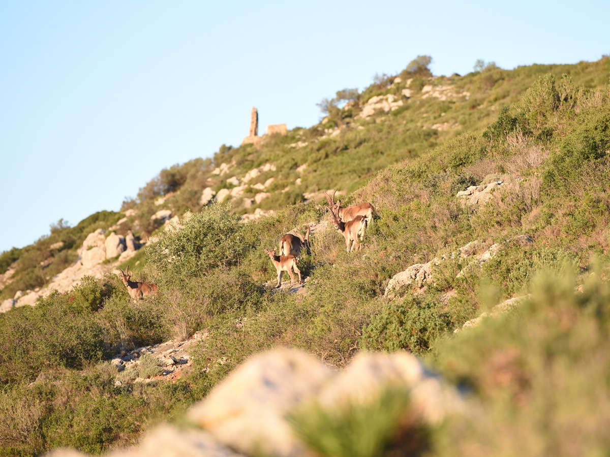
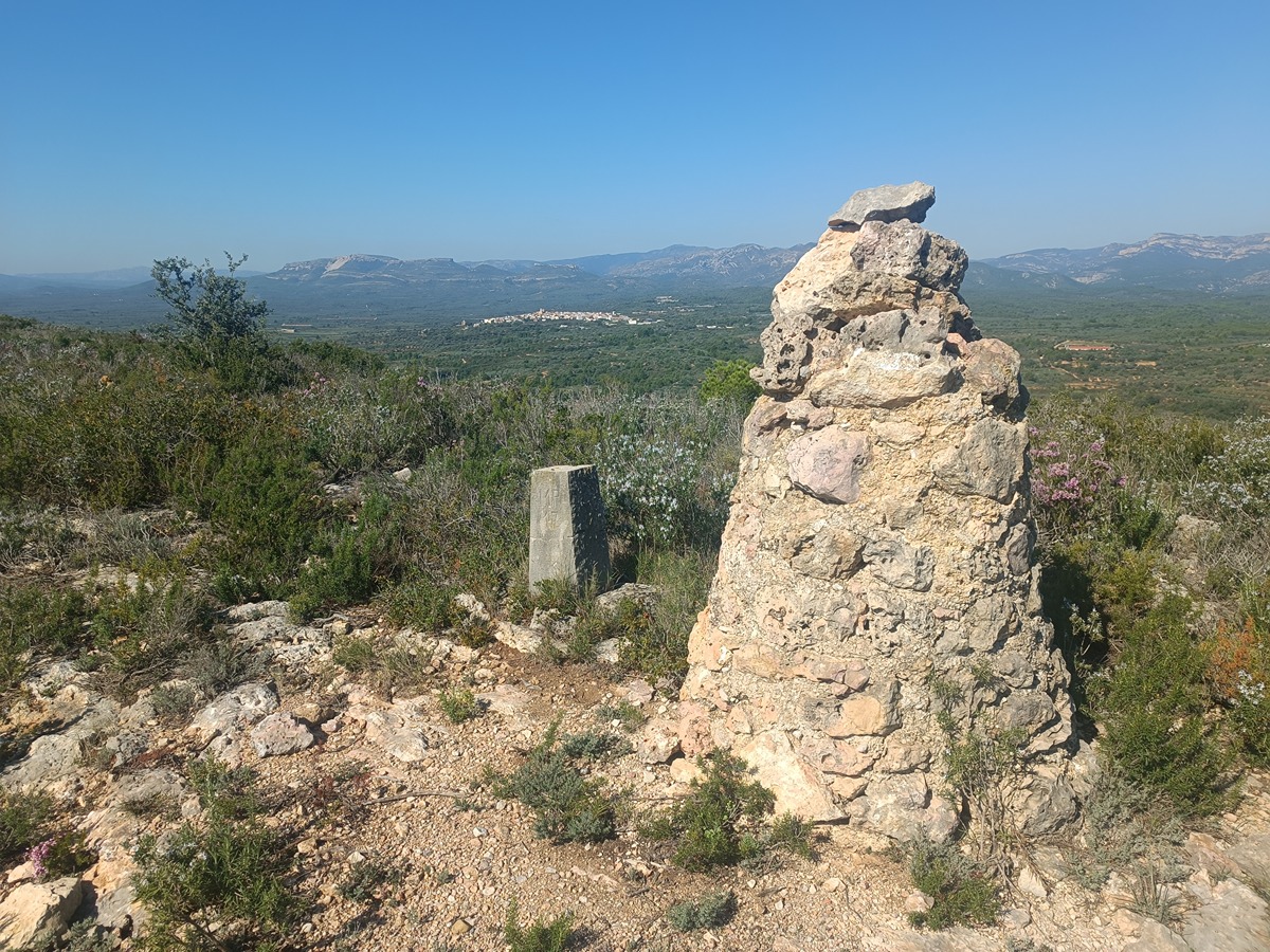
The PR CV-469 trail runs along the Sant Pere mountain range and goes up until it reaches the Boveral mountain pass, which runs along the entire crest of the range with spectacular views of both the Mediterranean and the inland ranges. During this route you can enjoy different heritage elements, such as the chapel of Sant Pere or some lime kilns, and natural elements, such as the Avenc Major chasm and the Figuereta cave.

Trail:
Loop
Technical data:
Length:
15,30 km
Estimated walking time:
05:10:00
Elevation gain:
655 m
Elevation loss:
655 m
MIDE ratings:
Level of natural risks:
2
Navigation on the trail:
2
Hiking difficulty:
2
Fitness level needed:
3

More information on Montaña Segura

Difficulty rating according to FEDME:
Unknown
Starting point:
Useful information:
Date of certification:
16-12-2022
Reference municipality:
District:
Province:
Castellón/Castelló
Cartography IGN MTN25:
0546-3

Downloadable from the Catalogue of the IGN Map Library

See other trails of this promoter:
Weather information:
Key points of the route:

Traiguera - Camino de Vinaròs (path) - Avenc Major (chasm) - Azagador del Boveral (cattle track) (connection PR-CV 296) - Pla de les Bassetes (plain) (connection PR-CV 469.1) - Sant Pere - Collado de la Jana (col) - Vía Augusta (Roman road) (connection PR-CV 469.1) - Traiguera

Route description (only available in Spanish)

Desde la font de Sant Vicent nos dirigimos hacia la cooperativa y bordeamos el campo de tiro i entre campos de olivos llegar al camino de Vinaroz que seguiremos a la derecha hasta la senda que sube por la falda de la montaña. Descendemos al bc. de l’Avenc Major para volver a subir hasta la loma de la sierra donde enlazamos con el PR-CV 296 que viene de Canet lo Roig. Seguimos en ascenso por el azagador del Boveral y antes de alcanzar el vértice lo abandonamos por una senda que baja hacia el corral de la Vila y donde encontraremos algunas caleras y la cova de la Figuereta.

Desde la parte baja volvemos a subir paralelos al barranc del Cocó de la Rabosa, bordeando el collet Gros hasta el Pla de les Bassetes. En este punto encontramos la variante PR-CV 469.1 que por la Roca de l’Àguila y la capelleta de Sant Pere acorta el recorrido principal.

Seguimos hasta la ermita de Sant Pere para iniciar la bajada hasta el collado de la Jana donde dejamos el PR-CV 469 que sigue en dirección a Canet lo Roig. Descendemos un poco más para seguir una senda por la falda de la sierra y conectar con el PR-CV 469.1 a la altura de la vía Augusta. Desde aquí, siguiendo caminos entre olivos volvemos a Traiguera.

Downloads:

Beware! Navigation devices may fail, batteries may run out of power and devices may break down. Do not use only electronic means to track your activities in the mountains; they must be used as a complement to the map and compass. Get some proper training and enjoy the mountains.

Comments:

Alternative routes and routes leading to nearby points of interest

Other trails connecting with this trail