Rate this trail

PR-CV 314 PEÑA SAGANTA

Promoter: Ayuntamiento de Espadilla

Certification status: No quality controls

0 reviews

Following the inspection carried out by trail technicians, this trail has been declared of "limited adequacy" as a result of the faults detected in the signage. These include inadequate horizontal signs (paint markers) and/or vertical ones (trailheads and information boards) or lacking direction markers that do not provide sufficient information to properly follow the route. The builder of this trail has been informed of the situation.
For safety reasons and during maintenance work, it is advised to be extremely careful while taking this route. Furthermore, mountain sports entail risks associated with the activity itself and the environment where they take place, for which any person is fully liable. For this reason, hikes need to be planned properly and adequate training, equipment and sensible use of the trails are required.

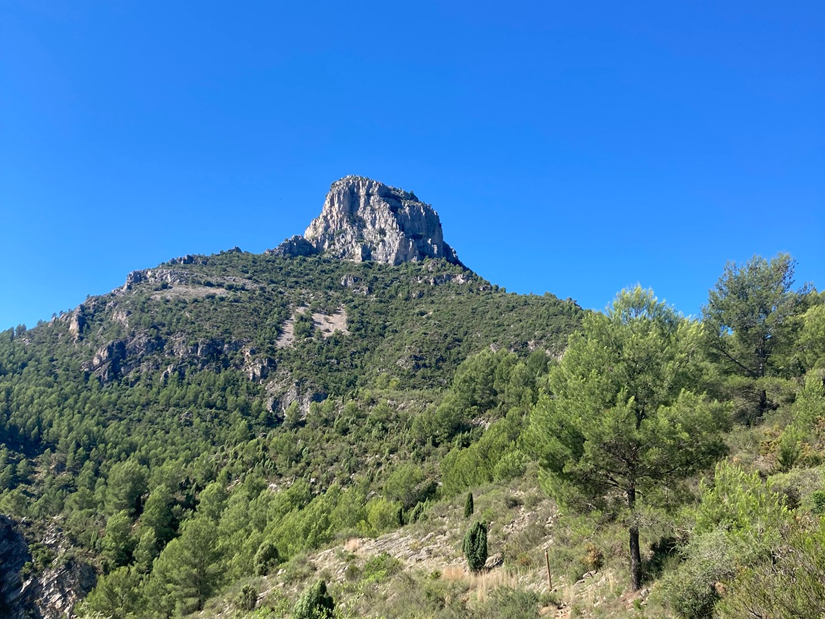
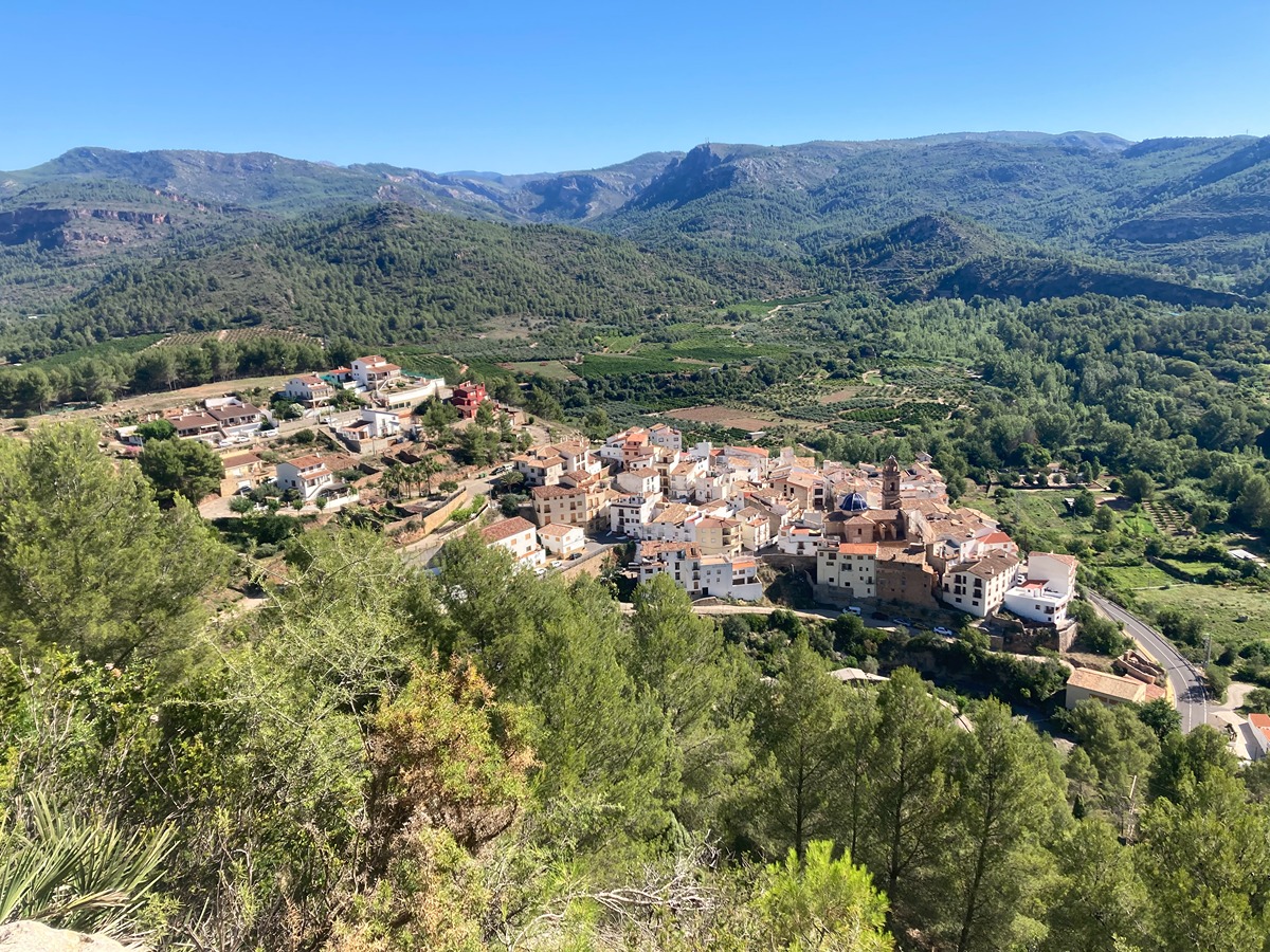
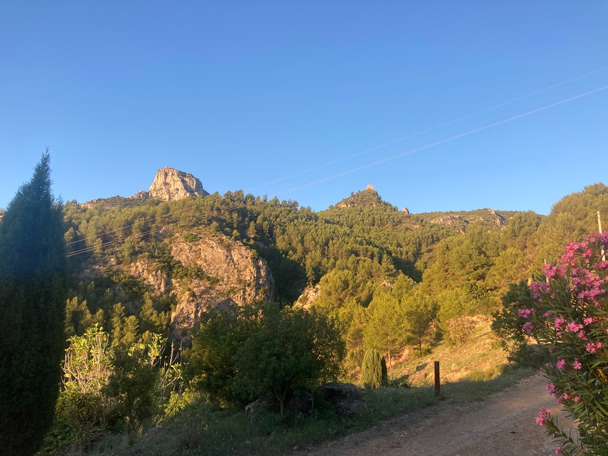
This trail runs along a stretch of the limestone massif of which Peña Saganta is the most notable peak. It can be climbed along the old bridle path that connected Espadilla and Ayódar or through the Piqueta ravine, where the spring of the same name is located, at the foot of the medieval castle, which is accessible from the trail itself.

Trail:
Loop
Technical data:
Length:
9,00 km
Estimated walking time:
03:20:00
Elevation gain:
520 m
Elevation loss:
520 m
MIDE ratings:
Level of natural risks:
1
Navigation on the trail:
2
Hiking difficulty:
2
Fitness level needed:
3

More information on Montaña Segura

Difficulty rating according to FEDME:
Unknown
Starting point:
Interest Tags:

Useful information:
Date of certification:
15-03-2006
Date of the act of registration in the Public Register:
22-05-2007
Date of the last Quality Control:
july de 2023
Reference municipality:
Otros municipios por los que transcurre:
District:
Province:
Castellón/Castelló
Cartography IGN MTN25:
0615-3; 0615-4

Downloadable from the Catalogue of the IGN Map Library

See other trails of this promoter:
Protected Natural Spaces:

We advise you to look up the regulations and/or authorisations for using the trails in these conservation areas on the website of the Conselleria de Medio Ambiente, Agua, Infraestructuras y Territorio

  • Sierra de Espadán (SPAB - Special Protection Area for Birds)
Key points of the route:

Espadilla - Barranco de la Piqueta (ravine) - Fuente de la Piqueta (spring) (GR 333 connection) - Barranco de las Carboneras (ravine) - Access to fort - Espadilla

Route description (only available in Spanish)

Desde la parte alta de Espadilla avanzamos por una pista que en unos metros se transforma en un estrecho sendero se va adentrando en el barranco de la Piqueta. Justo en el momento en el que alcanzamos el cauce del barranco realizamos un brusco giro a la izquierda y seguiremos por esta senda hasta llegar a la fuente la Piqueta donde nos separamos del GR 333.

Seguimos por nuestra izquierda en ascenso hasta un pequeño collado donde de repente el bosque desaparecerá para dejar paso a un manto de boj manchado por alguna formación de caliza y el propio sendero. Seguiremos avanzando hasta el cruce de la cima de Peña Saganta, seguiremos recto y tras un breve llaneo enseguida empezamos a descender por un sendero bastante vertical, pasaremos junto a un aljibe y llegaremos al collado donde nos uniremos con el GR 333.

Seguiremos avanzando por debajo de los riscos de la Peña Saganta. Siempre con la mole a nuestra derecha, el sendero va descendiendo hasta que nos adentraremos en el barranco de las Carboneras, lo cruzamos y seguimos por esta senda hasta encontrarnos con el desvío hacia el castillo de Espadilla. Desde aquí ya solo nos queda seguir un suave descenso por un sendero hasta la localidad de Espadilla.

Downloads:

Beware! Navigation devices may fail, batteries may run out of power and devices may break down. Do not use only electronic means to track your activities in the mountains; they must be used as a complement to the map and compass. Get some proper training and enjoy the mountains.

Other trails connecting with this trail