
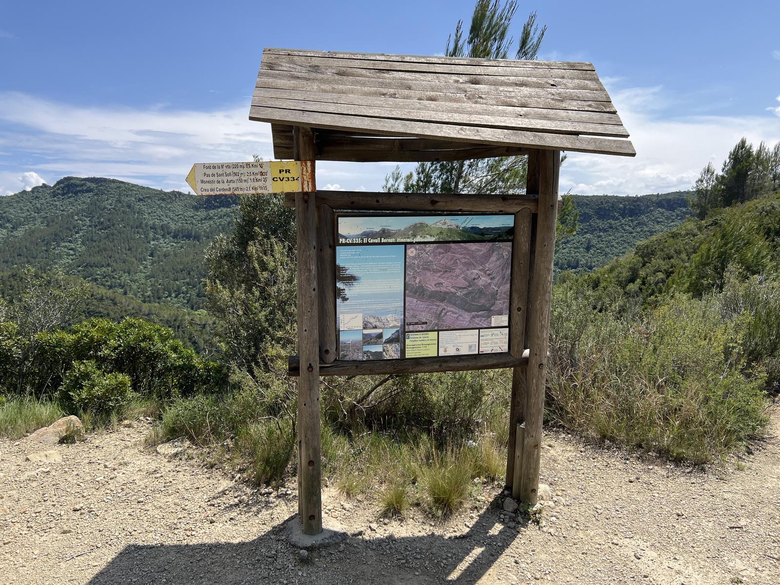
PR-CV 334.1 ENLACE PR-CV 335
Promoter: Ayuntamiento de Alzira
Certification status: Positive quality control
0 reviews
Derivation that allows you to access the PR-CV 335 trail.
Trail:
One way (point-to-point)
Other trails connecting with this trail
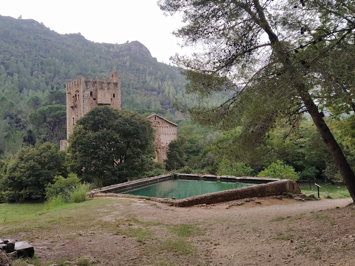
SL-CV 82 SENDA HISTÒRICA PER LA VALL DE LA MURTA
Promoter: Ayuntamiento de Alzira
Certification status: Positive quality control
Reference municipality: Alzira
Length: 1,60 km
Estimated walking time: 00:30:00
Elevation gain: 115 m
Elevation loss: 5 m
(0)
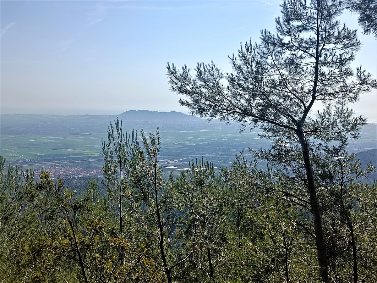
PR-CV 335 CAVALL BERNAT. ITINERARI PANORÀMIC
Promoter: Ayuntamiento de Alzira
Certification status: Positive quality control
Reference municipality: Alzira
Length: 5,30 km
Estimated walking time: 01:55:00
Elevation gain: 440 m
Elevation loss: 65 m
(1)